Alder Copse

Wood, Forest in Somerset Somerset West and Taunton

England

Alder Copse

Kingston St Mary: Fennington Farm Looking north-north-east towards quite a sizeable farm complex
Kingston St Mary: Fennington Farm Credit: Martin Bodman

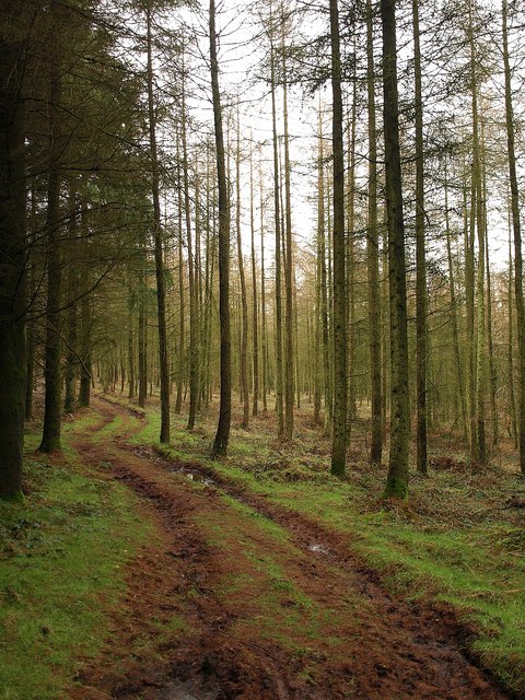
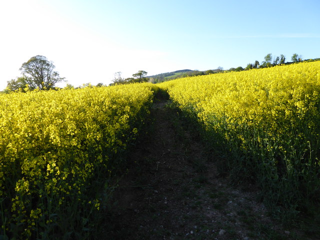
Alder Copse, located in Somerset, England, is a picturesque woodland area renowned for its natural beauty and diverse ecosystem. Spanning approximately 100 acres, this ancient woodland is primarily composed of alder trees, hence its name. The copse is situated on the low-lying floodplain of the River Parrett, providing an ideal habitat for various flora and fauna.

The dense canopy of alder trees forms a sheltered environment, creating a soothing atmosphere within the copse. The trees reach impressive heights, with some towering above 80 feet. Their slender trunks and delicate leaves create a unique aesthetic that changes with the seasons. In spring, the copse bursts into life with vibrant green foliage, while autumn brings a magnificent display of golden hues.

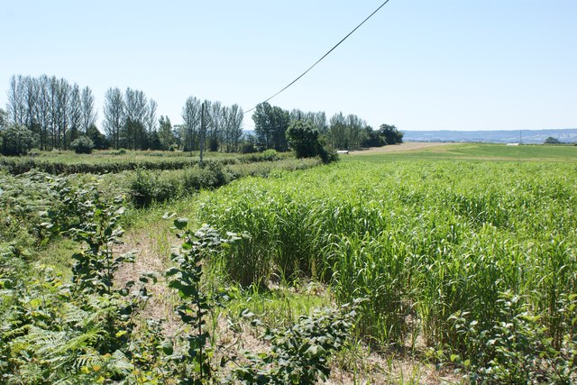
Alder Copse is home to a rich and diverse range of wildlife. The dense undergrowth, composed of ferns, brambles, and wildflowers, provides a safe haven for numerous small mammals, such as voles, shrews, and mice. The copse is also a haven for bird species, including woodpeckers, warblers, and owls, which nest and forage within the woodland. Additionally, the river adjacent to the copse attracts water-dwelling creatures like ducks and herons.

The copse is a popular destination for nature enthusiasts and hikers, who can explore the numerous trails that wind through the woodland. The peaceful atmosphere and tranquility make it an ideal location for relaxation and contemplation. Alder Copse truly encapsulates the beauty of Somerset's natural landscapes, offering a captivating experience for visitors.

If you have any feedback on the listing, please let us know in the comments section below.
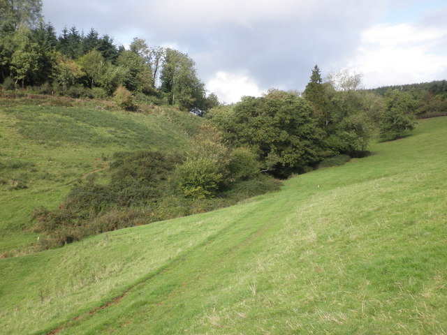
Alder Copse Images

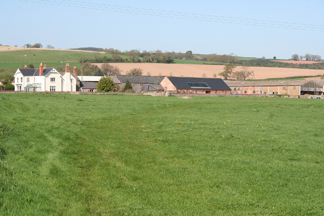
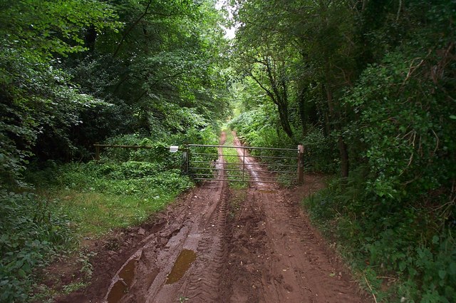
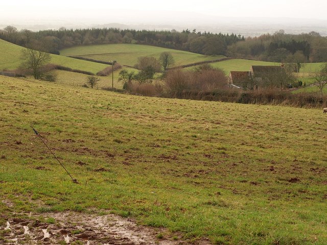
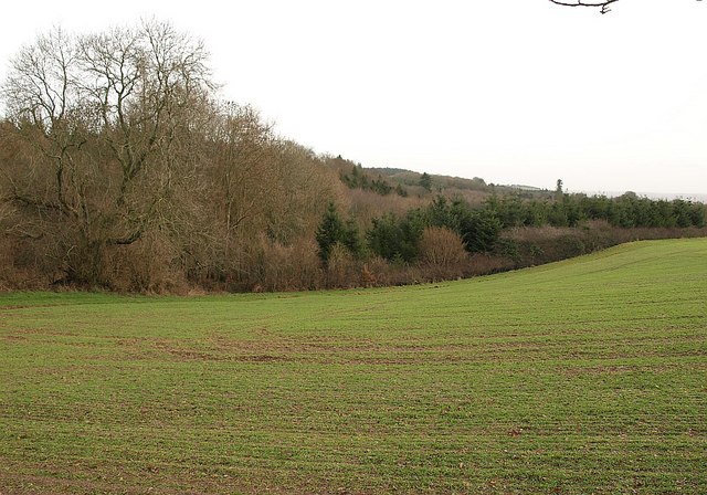
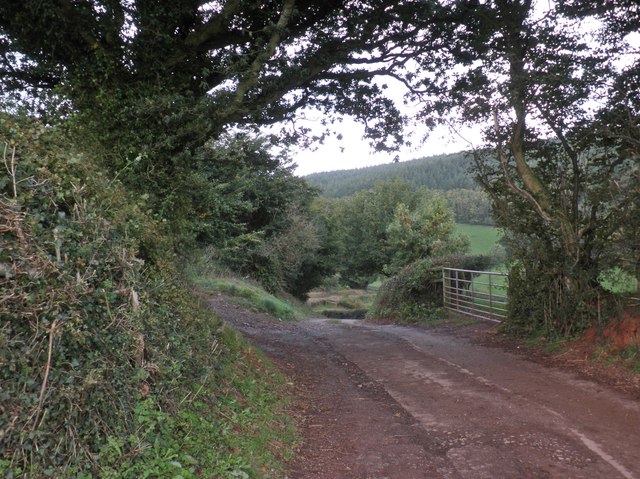
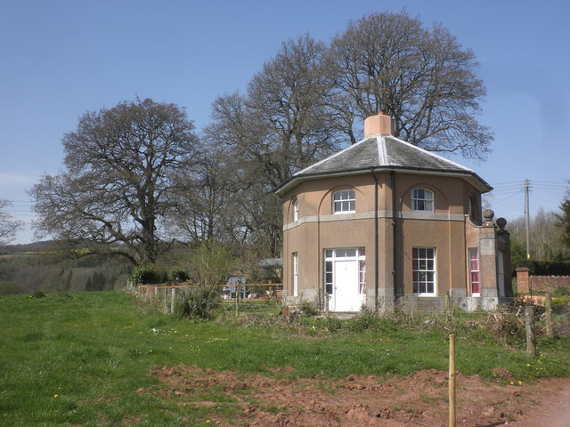
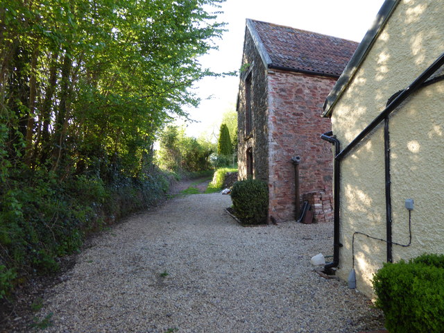
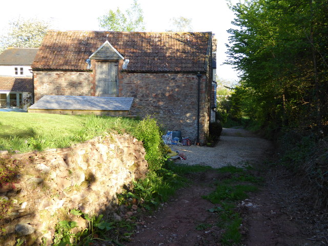
Images are sourced within 2km of 51.075197/-3.1593741 or Grid Reference ST1831. Thanks to Geograph Open Source API. All images are credited.

Kingston St Mary: Fennington Farm Looking north-north-east towards quite a sizeable farm complex
Kingston St Mary: Fennington Farm
Looking north-north-east towards quite a sizeable farm complex
Muddy track at Buncombe Wood Also a public right of way.
Muddy track at Buncombe Wood
Also a public right of way.
Countryside near Ivyton Farm A view from a gateway on Cushuish Lane. A valley drops from the farm (just off to the right) down the southern slopes of the Quantock Hills.
Countryside near Ivyton Farm
A view from a gateway on Cushuish Lane. A valley drops from the farm (just off to the right) down the southern slopes of the Quantock Hills.
Woodland near Cushuish Looking across a sprouting winter cereal field from Cushuish Lane, here a restricted byway (T9/12, followed by the Quantock Greenway). The unnamed woods are around a steep little valley carrying a stream down towards Yarford.
Woodland near Cushuish
Looking across a sprouting winter cereal field from Cushuish Lane, here a restricted byway (T9/12, followed by the Quantock Greenway). The unnamed woods are around a steep little valley carrying a stream down towards Yarford.
Footpath in Buncombe Wood Broomfield footpath 3, which has climbed very steeply out of the head of the Kingston Stream valley, runs almost level through conifer woodland towards the Merridge Hill / Buncombe -  Cothelstone county road.
Footpath in Buncombe Wood
Broomfield footpath 3, which has climbed very steeply out of the head of the Kingston Stream valley, runs almost level through conifer woodland towards the Merridge Hill / Buncombe - Cothelstone county road.
Car park, Cothelstone Hill A good path leads up to the summit from here.
Car park, Cothelstone Hill
A good path leads up to the summit from here.
Ivyton Farm
Ivyton Farm
Secluded valley, near Ivyton Farm
Track to the main road from Ivyton Farm
Gatehouse, Tetton Park
Channel to Channel (390) The path passes two buildings on the ascent.
Channel to Channel (390)
The path passes two buildings on the ascent.
Channel to Channel (392) This is a picture looking back to the barn.
Channel to Channel (392)
This is a picture looking back to the barn.
Channel to Channel (393) Remember the yellow zigzag (see <a href="https://www.geograph.org.uk/photo/4467148">ST2028 : Channel to Channel (379)</a>) which had long been in my sight?  Well, this is the start of it.
Channel to Channel (393)
Remember the yellow zigzag (see ST2028 : Channel to Channel (379)) which had long been in my sight? Well, this is the start of it.
Miscanthus crop at Fennington
Farmhouse, Fennington
Fennington Lane
Fennington Lane
Farmyard, Fennington
Fennington Weir
Fennington Weir
Show me another place!

Alder Copse is located at Grid Ref: ST1831 (Lat: 51.075197, Lng: -3.1593741)

Administrative County: Somerset

District: Somerset West and Taunton

Police Authority: Avon and Somerset

What 3 Words

///gets.chained.flash. Near Bishops Lydeard, Somerset

Related Wikis

Have you been to Alder Copse?

Leave your review of Alder Copse below (or comments, questions and feedback).