Pound Copse

Wood, Forest in Devon East Devon

England

Pound Copse

Court Hall hotel in Monkerton on the A30
Court Hall hotel in Monkerton on the A30 Credit: Rob Purvis

Pound Copse is a picturesque wood located in the county of Devon, England. Situated on the eastern edge of Dartmoor National Park, this enchanting forest covers an area of approximately 100 acres and is renowned for its natural beauty and diverse wildlife.

The copse is predominantly composed of ancient oak and beech trees, creating a dense canopy that provides a cool and serene atmosphere. The woodland floor is adorned with a rich carpet of wildflowers, including bluebells, primroses, and wood anemones, which add bursts of color to the landscape during the spring and summer months.

The forest is intersected by a network of well-maintained trails, offering visitors the opportunity to explore its hidden treasures. As one ventures deeper into Pound Copse, they will discover a tranquil stream that meanders through the heart of the woodland, adding to the overall serenity of the environment.

The copse is also home to a wide variety of wildlife. Birdwatchers will be delighted to spot species such as woodpeckers, owls, and warblers, while nature enthusiasts may come across small mammals like badgers, foxes, and squirrels. The forest is also a haven for insect life, with butterflies, dragonflies, and beetles adding to the biodiversity of the area.

Pound Copse is a popular destination for both locals and tourists seeking solace in nature. Its peaceful ambiance, stunning flora, and fauna make it an ideal location for walking, picnicking, and photography. Whether one seeks relaxation, solitude, or an opportunity to connect with the natural world, Pound Copse is a truly captivating destination.

If you have any feedback on the listing, please let us know in the comments section below.
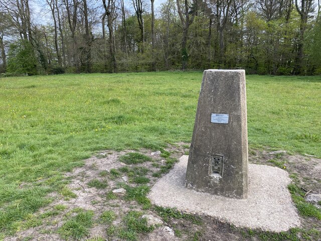
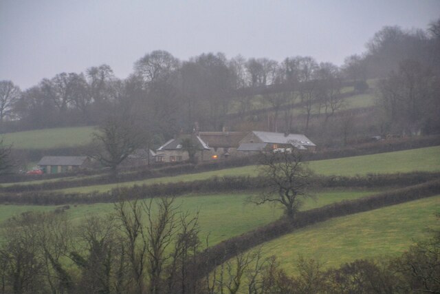
Pound Copse Images

Images are sourced within 2km of 50.839332/-3.1535603 or Grid Reference ST1805. Thanks to Geograph Open Source API. All images are credited.

Court Hall hotel in Monkerton on the A30
Turning to Upottery and Rawridge from the A30, heading north-east
Entering Rawridge in low afternoon light
Dumpdon Trig Point Flush Bracket S1709
Luppitt : Countryside Scenery Looking across the countryside towards Wick.
Luppitt : Countryside Scenery
Looking across the countryside towards Wick.
Otter Vale Close, Rawridge
Luppitt: Luppitt Mill Seen from the dry ford on the lane near the Beacon. The mill and mill house date from the 19th century; the mill last worked in 1939, it’s waterwheel by then needing extensive repair. The leat, now dry, is half a mile long and was difficult to maintain
Luppitt: Luppitt Mill
Seen from the dry ford on the lane near the Beacon. The mill and mill house date from the 19th century; the mill last worked in 1939, it’s waterwheel by then needing extensive repair. The leat, now dry, is half a mile long and was difficult to maintain
View NW from Dumpdon Hill This area of Devon is sparsely populated and typified by rolling green hills covered in meadows and pockets of trees. The two principal buildings featured are Greenway Manor to the far left and Blackenfields Farm to the mid-right.
View NW from Dumpdon Hill
This area of Devon is sparsely populated and typified by rolling green hills covered in meadows and pockets of trees. The two principal buildings featured are Greenway Manor to the far left and Blackenfields Farm to the mid-right.
Monkton: mowing at Monkton Barton Looking south west across the Otter valley on a humid June day. The farmer driving the tractor told me that on a clear day you could see Dartmoor from this point
Monkton: mowing at Monkton Barton
Looking south west across the Otter valley on a humid June day. The farmer driving the tractor told me that on a clear day you could see Dartmoor from this point
Upottery: Otter valley Near Hayne Farm, looking north-north-west
Upottery: Otter valley
Near Hayne Farm, looking north-north-west
Upottery: Otter valley Looking south west near the Otter Valley Golf Centre. Dumpdon Hill, belonging to the National Trust and with an Iron Age hillfort atop, is just visible on the skyline, centre
Upottery: Otter valley
Looking south west near the Otter Valley Golf Centre. Dumpdon Hill, belonging to the National Trust and with an Iron Age hillfort atop, is just visible on the skyline, centre
Luppitt: on Hartridge Looking north west on a public footpath to Gould’s Farm, hidden in the valley below
Luppitt: on Hartridge
Looking north west on a public footpath to Gould’s Farm, hidden in the valley below
Luppitt: cottages at Beacon Looking east-north-east. The row includes a converted chapel and a further structure beyond is undergoing a complete re-build
Luppitt: cottages at Beacon
Looking east-north-east. The row includes a converted chapel and a further structure beyond is undergoing a complete re-build
Luppitt: near Whitehall Farm A view towards the Otter valley, looking north east
Luppitt: near Whitehall Farm
A view towards the Otter valley, looking north east
Luppitt: between Ford Bridge and Whitehall Looking north-north-east on a humid June afternoon
Luppitt: between Ford Bridge and Whitehall
Looking north-north-east on a humid June afternoon
Luppitt: towards Rawridge Looking east-south-east on a humid June afternoon
Luppitt: towards Rawridge
Looking east-south-east on a humid June afternoon
Monkton, Church of St Mary Magdalene.
Upottery: the A30 near Yard Cross Looking north-north-east in the London direction. The trunk road climbs up from the Otter valley onto the Blackdowns. Because it hasn’t been widened to dual carriageway north east of Honiton, the route can become very congested in summer
Upottery: the A30 near Yard Cross
Looking north-north-east in the London direction. The trunk road climbs up from the Otter valley onto the Blackdowns. Because it hasn’t been widened to dual carriageway north east of Honiton, the route can become very congested in summer
Show me another place!

Pound Copse is located at Grid Ref: ST1805 (Lat: 50.839332, Lng: -3.1535603)

Administrative County: Devon

District: East Devon

Police Authority: Devon and Cornwall

What 3 Words

///pizza.market.inversely. Near Honiton, Devon

Related Wikis

Mohuns Ottery

Mohuns Ottery or Mohun's Ottery ( "moon's awtrey"), is a house and historic manor in the parish of Luppitt, 1 mile south-east of the village of Luppitt...

Hartridge Hill

Hartridge Hill is an elongated, peat hill situated in the Luppitt catchment area of East Devon, England. Mostly privately owned and primarily used for...
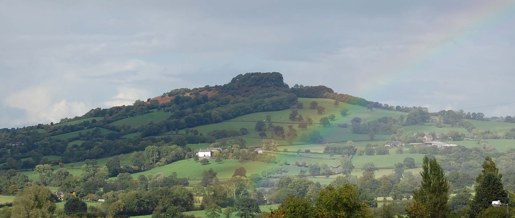
Dumpdon Hill

Dumpdon Hill is an Iron Age Hill Fort near Honiton in Devon. Somewhat overshadowed by its better known neighbour Hembury Fort it is nonetheless as impressive...

Monkton, Devon

Monkton is a village and civil parish on the River Otter, about 2 miles north east of Honiton railway station, in the East Devon district, in the county...
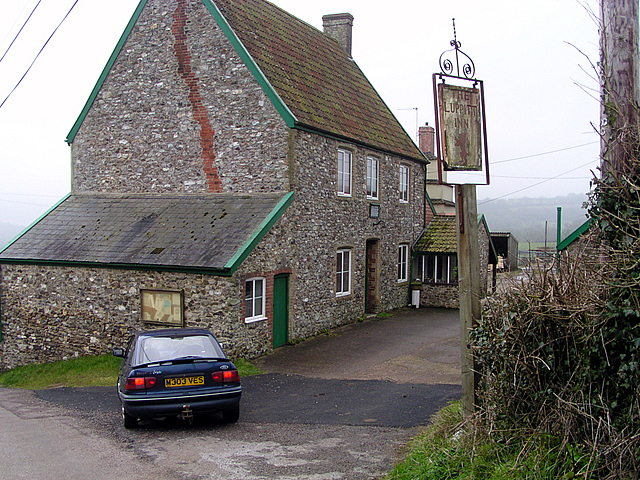
Luppitt Inn

The Luppitt Inn is the only public house at Luppitt, Devon. Located in the front rooms of a farmhouse, the building is constructed from stone, rendered...

Luppitt

Luppitt is a village and civil parish in East Devon situated about 6 kilometres (4 mi) due north of Honiton. The historian William Harris was preacher...

Upottery

Upottery (originally Up Ottery) is a rural village, civil parish and former manor in East Devon, England. == Location == Upottery takes up both sides of...

Cotleigh

Cotleigh is a village and civil parish near Honiton in Devon, England. It is surrounded clockwise from the north by the parishes of Upottery, Stockland...

Nearby Amenities

Located within 500m of 50.839332,-3.1535603
Generator Method: photovoltaic
Generator Output Electricity: yes
Generator Source: solar
Generator Type: solar_photovoltaic_panel
Location: roof
Power: generator
Source: Bing
Lat/Long: 50.8397822/-3.1591044
The data included in this document is from www.openstreetmap.org. The data is made available under ODbL.

Have you been to Pound Copse?

Leave your review of Pound Copse below (or comments, questions and feedback).