Attorney Croft Wood
Wood, Forest in Yorkshire
England
Attorney Croft Wood
Attorney Croft Wood is a picturesque woodland area located in Yorkshire, England. Covering a vast expanse of land, it is known for its dense forest, towering trees, and abundant wildlife. The woodland is named after the nearby village of Croft, which has a long history dating back to medieval times.
This enchanting woodland is a haven for nature enthusiasts and offers a tranquil escape from the hustle and bustle of city life. Visitors can explore the well-maintained trails that wind through the forest, providing opportunities for hiking, walking, and birdwatching. The diverse ecosystem supports a wide variety of flora and fauna, including oak, beech, and birch trees, as well as deer, rabbits, and numerous bird species.
Attorney Croft Wood is not only cherished for its natural beauty but also for its cultural and historical significance. The area has a rich heritage, with remnants of ancient settlements and archaeological sites scattered throughout the woodland. These historical features add an intriguing element to the overall experience, allowing visitors to immerse themselves in the past.
Whether it's a leisurely stroll among the trees, a picnic with family and friends, or a peaceful retreat into nature, Attorney Croft Wood provides a serene and idyllic setting for all. Its accessibility, well-preserved trails, and diverse wildlife make it a popular destination for both locals and tourists seeking a connection with nature.
If you have any feedback on the listing, please let us know in the comments section below.
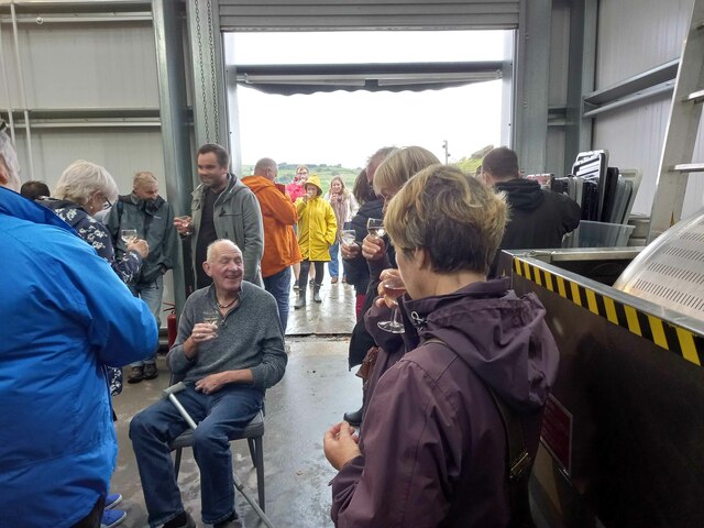
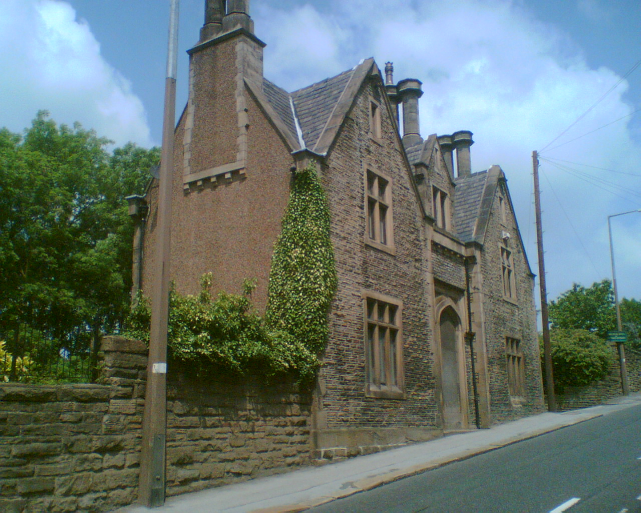
Attorney Croft Wood Images
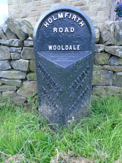
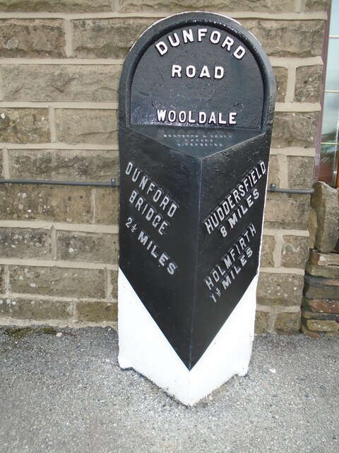
Images are sourced within 2km of 53.56423/-1.7865673 or Grid Reference SE1407. Thanks to Geograph Open Source API. All images are credited.

Attorney Croft Wood is located at Grid Ref: SE1407 (Lat: 53.56423, Lng: -1.7865673)
Division: West Riding
Unitary Authority: Kirklees
Police Authority: West Yorkshire
What 3 Words
///october.revives.boardroom. Near Holmfirth, West Yorkshire
Nearby Locations
Related Wikis

River Ribble, West Yorkshire
The River Ribble is a minor river running through the town of Holmfirth in Kirklees, West Yorkshire, England. Rising at the outflow of Holme Styes Reservoir...

Holmfirth
Holmfirth () is a town in the Metropolitan Borough of Kirklees, West Yorkshire, England. It is located 6 miles (9.7 km) south of Huddersfield and 14 miles...

Holy Trinity Church, Holmfirth
Holy Trinity Church, Holmfirth is an Anglican church in the town of Holmfirth in West Yorkshire, England. Holmfirth's chapelry historically covered townships...
Holmfirth railway station
Holmfirth railway station is a former railway station that served the town of Holmfirth in West Yorkshire, England. == History == The branch line to Holmfirth...

Arrunden
Arrunden is a hamlet in the civil parish of Holme Valley, West Yorkshire, England. It is located 1.3 miles (2.1 km) south-southwest of Holmfirth. ��2...

Burnlee
Burnlee is a village in the Holme Valley in Kirklees, West Yorkshire, England. It is bordered by the settlements of Holmfirth, Upperthong and Hinchcliffe...

Lane, West Yorkshire
Lane Village is a small hamlet 3 miles (4.8 km) southwest of Holmfirth and approximately half a mile southwest of Holme Village on the A6024 Woodhead Road...

Upperthong
Upperthong is a village approximately 807 feet (246 m) above sea level, near the town of Holmfirth in Holme Valley, approximately 7 miles (11 km) south...
Nearby Amenities
Located within 500m of 53.56423,-1.7865673Have you been to Attorney Croft Wood?
Leave your review of Attorney Croft Wood below (or comments, questions and feedback).