Mohun's Ottery

Heritage Site in Devon East Devon

England

Mohun's Ottery

Turning to Upottery and Rawridge from the A30, heading north-east
Turning to Upottery and Rawridge from the A30, heading north-east Credit: Rob Purvis

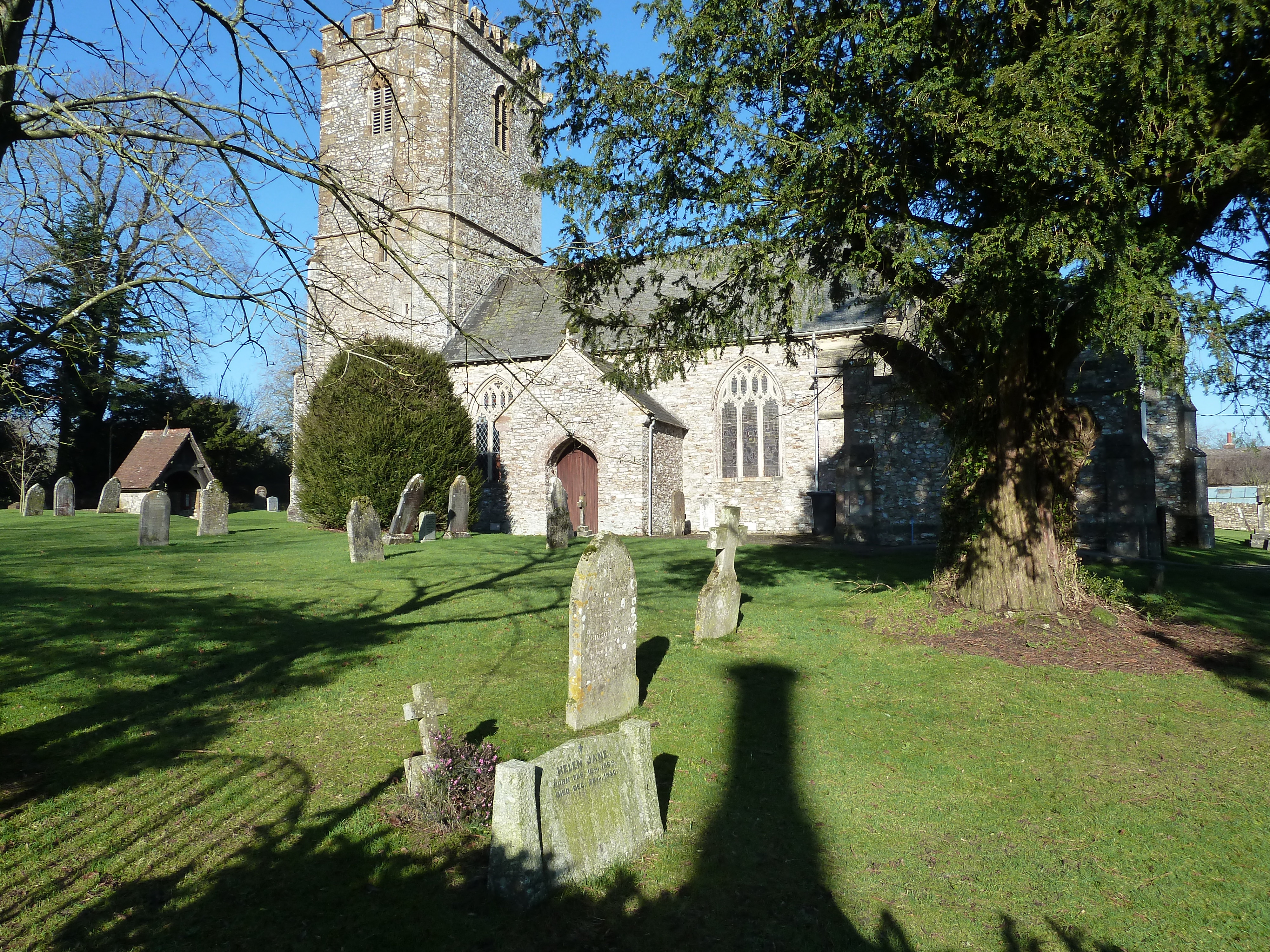
Mohun's Ottery is a historical heritage site located in Devon, England. Situated in the picturesque countryside, it is renowned for its architectural and historical significance. The site primarily consists of a manor house and a chapel, both dating back to the medieval period.

The manor house, built in the 14th century, is a stunning example of medieval architecture. It features a combination of stone and timber-framed construction, with intricately carved details adorning its facade. The house boasts a great hall, a solar, and numerous chambers, showcasing the opulence and grandeur of the medieval lifestyle.

Adjacent to the manor house stands the chapel, dedicated to St. Thomas Becket. This chapel, constructed around the same time as the manor house, has an exquisite interior with beautiful stained glass windows and a finely carved altar. It served as a place of worship and reflection for the inhabitants of the manor.

Throughout its history, Mohun's Ottery has had various owners and has witnessed numerous significant events. It was once the residence of the Mohun family, a prominent noble family in Devon. Later, it became a seat of the Carew family, who made significant alterations to the building. The manor house also played a role during the English Civil War when it was used as a garrison.

Today, Mohun's Ottery is open to the public as a heritage site. Visitors can explore the manor house and chapel, gaining insights into the medieval way of life and the historical events associated with the site. The stunning architecture and rich history make Mohun's Ottery a must-visit destination for history enthusiasts and admirers of medieval architecture.

If you have any feedback on the listing, please let us know in the comments section below.

Mohun's Ottery Images

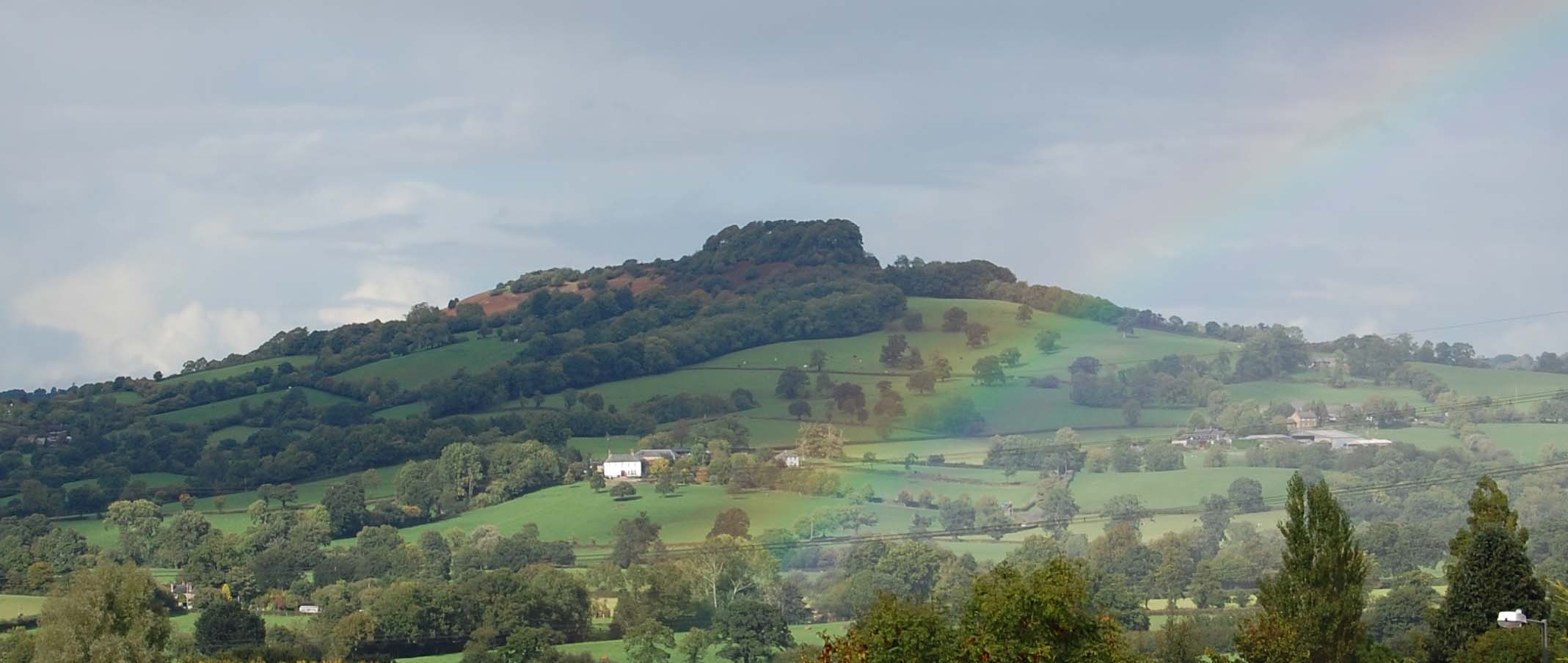
Images are sourced within 2km of 50.842/-3.157 or Grid Reference ST1805. Thanks to Geograph Open Source API. All images are credited.

Turning to Upottery and Rawridge from the A30, heading north-east
Entering Rawridge in low afternoon light
Otter Vale Close, Rawridge
Dumpdon Trig Point Flush Bracket S1709
Luppitt : Footbridge A footbridge over the stream.
Luppitt : Footbridge
A footbridge over the stream.
Luppitt : Footbridge A footbridge over the stream.
Luppitt : Footbridge
A footbridge over the stream.
Luppitt : Ford A ford in the road, and today, there seems to be a lot of water.
Luppitt : Ford
A ford in the road, and today, there seems to be a lot of water.
Luppitt : Ford A ford in the road.
Luppitt : Ford
A ford in the road.
Luppitt : Countryside Scenery Looking across the countryside towards Wick.
Luppitt : Countryside Scenery
Looking across the countryside towards Wick.
Luppitt: towards the Beacon The Beacon is a hamlet on the southern edge of Hartridge, ahead. The lane leads first to Luppitt Mill
Luppitt: towards the Beacon
The Beacon is a hamlet on the southern edge of Hartridge, ahead. The lane leads first to Luppitt Mill
Luppitt: Luppitt Mill Seen from the dry ford on the lane near the Beacon. The mill and mill house date from the 19th century; the mill last worked in 1939, it’s waterwheel by then needing extensive repair. The leat, now dry, is half a mile long and was difficult to maintain
Luppitt: Luppitt Mill
Seen from the dry ford on the lane near the Beacon. The mill and mill house date from the 19th century; the mill last worked in 1939, it’s waterwheel by then needing extensive repair. The leat, now dry, is half a mile long and was difficult to maintain
View NW from Dumpdon Hill This area of Devon is sparsely populated and typified by rolling green hills covered in meadows and pockets of trees. The two principal buildings featured are Greenway Manor to the far left and Blackenfields Farm to the mid-right.
View NW from Dumpdon Hill
This area of Devon is sparsely populated and typified by rolling green hills covered in meadows and pockets of trees. The two principal buildings featured are Greenway Manor to the far left and Blackenfields Farm to the mid-right.
Luppitt: Pilgrims Cottage Pilgrims Cottage is nearest the camera. The group of dwellings stands at the foot of the hill leading to the church, across a stream. Looking east-south-east
Luppitt: Pilgrims Cottage
Pilgrims Cottage is nearest the camera. The group of dwellings stands at the foot of the hill leading to the church, across a stream. Looking east-south-east
Monkton: mowing at Monkton Barton Looking south west across the Otter valley on a humid June day. The farmer driving the tractor told me that on a clear day you could see Dartmoor from this point
Monkton: mowing at Monkton Barton
Looking south west across the Otter valley on a humid June day. The farmer driving the tractor told me that on a clear day you could see Dartmoor from this point
Upottery: Otter valley Near Hayne Farm, looking north-north-west
Upottery: Otter valley
Near Hayne Farm, looking north-north-west
Upottery: Otter valley Looking south west near the Otter Valley Golf Centre. Dumpdon Hill, belonging to the National Trust and with an Iron Age hillfort atop, is just visible on the skyline, centre
Upottery: Otter valley
Looking south west near the Otter Valley Golf Centre. Dumpdon Hill, belonging to the National Trust and with an Iron Age hillfort atop, is just visible on the skyline, centre
Luppitt: on Hartridge Looking north west on a public footpath to Gould’s Farm, hidden in the valley below
Luppitt: on Hartridge
Looking north west on a public footpath to Gould’s Farm, hidden in the valley below
Luppitt: Hill End Farm Looking north-north-east. The Ordnance Survey has this as ‘Hillend Farm’; the present owners appear to prefer ‘Hill End Farm’. Now probably a private residence
Luppitt: Hill End Farm
Looking north-north-east. The Ordnance Survey has this as ‘Hillend Farm’; the present owners appear to prefer ‘Hill End Farm’. Now probably a private residence
Show me another place!

Mohun's Ottery is located at Grid Ref: ST1805 (Lat: 50.842, Lng: -3.157)

Administrative County: Devon

District: East Devon

Police Authority: Devon and Cornwall

What 3 Words

///scoop.trial.react. Near Dunkeswell, Devon

Related Wikis

Mohuns Ottery

Mohuns Ottery or Mohun's Ottery ( "moon's awtrey"), is a house and historic manor in the parish of Luppitt, 1 mile south-east of the village of Luppitt...

Hartridge Hill

Hartridge Hill is an elongated, peat hill situated in the Luppitt catchment area of East Devon, England. Mostly privately owned and primarily used for...

Dumpdon Hill

Dumpdon Hill is an Iron Age Hill Fort near Honiton in Devon. Somewhat overshadowed by its better known neighbour Hembury Fort it is nonetheless as impressive...
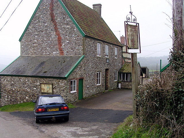
Luppitt Inn

The Luppitt Inn is the only public house at Luppitt, Devon. Located in the front rooms of a farmhouse, the building is constructed from stone, rendered...

Luppitt

Luppitt is a village and civil parish in East Devon situated about 6 kilometres (4 mi) due north of Honiton. The historian William Harris was preacher...

Monkton, Devon

Monkton is a village and civil parish on the River Otter, about 2 miles north east of Honiton railway station, in the East Devon district, in the county...

Upottery

Upottery (originally Up Ottery) is a rural village, civil parish and former manor in East Devon, England. == Location == Upottery takes up both sides of...

Cotleigh

Cotleigh is a village and civil parish near Honiton in Devon, England. It is surrounded clockwise from the north by the parishes of Upottery, Stockland...

Nearby Amenities

Located within 500m of 50.842,-3.157
Generator Method: photovoltaic
Generator Output Electricity: yes
Generator Source: solar
Generator Type: solar_photovoltaic_panel
Location: roof
Power: generator
Source: Bing
Lat/Long: 50.8397822/-3.1591044
The data included in this document is from www.openstreetmap.org. The data is made available under ODbL.

Have you been to Mohun's Ottery?

Leave your review of Mohun's Ottery below (or comments, questions and feedback).