Barkby Wood

Wood, Forest in Cumberland Allerdale

England

Barkby Wood

Old Milestone by the B5291, near Armathwaite Hotel Carved stone post by the B5291, in parish of BASSENTHWAITE (ALLERDALE District), exit of Armathwaite Hall, on grass verge against wall, on West side of road. Cockermouth numeral, erected by the Keswick turnpike trust in the 19th century. 

Inscription reads:-
8 
(To Keswick)

Milestone Society National ID: CU_KWCM08
Old Milestone by the B5291, near Armathwaite Hotel Credit: CF Smith

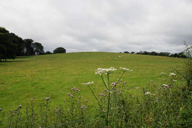
Barkby Wood is a picturesque forest located in the county of Cumberland, England. Spread across an area of approximately 500 acres, it is renowned for its rich biodiversity and stunning natural beauty. The wood is nestled in the heart of the countryside, providing a peaceful and tranquil retreat for visitors.

The wood is primarily composed of deciduous trees, including oak, beech, and birch, which create a vibrant and diverse ecosystem. These trees form a dense canopy, filtering the sunlight and creating a cool and shaded environment beneath. The forest floor is covered in a thick layer of leaf litter, providing a haven for various small mammals, insects, and fungi.

Barkby Wood is intersected by a network of well-maintained walking trails, allowing visitors to explore the area at their own pace. These trails wind through the forest, offering glimpses of wildflowers, ferns, and mosses that thrive in the damp and shaded conditions. The sounds of birdsong fill the air, with species such as woodpeckers, thrushes, and warblers making their homes in the wood.

The wood is also home to a diverse range of wildlife. Deer, foxes, and badgers can often be spotted, particularly during the early morning or late evening. Rare and endangered species, such as red squirrels and bats, have also been known to inhabit the wood, making it a vital conservation area.

Overall, Barkby Wood is a haven for nature lovers and outdoor enthusiasts alike. Its unspoiled beauty, diverse flora and fauna, and tranquil atmosphere make it a must-visit destination for anyone seeking a peaceful escape into nature.

If you have any feedback on the listing, please let us know in the comments section below.
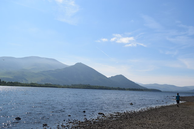
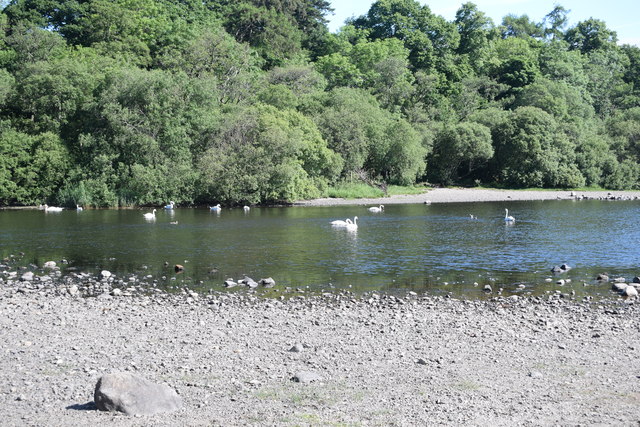
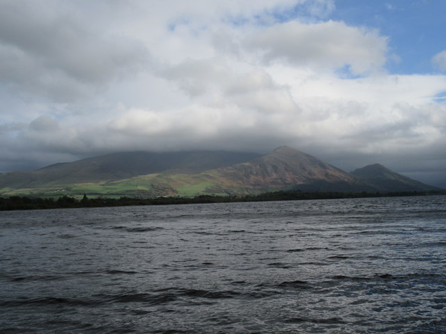
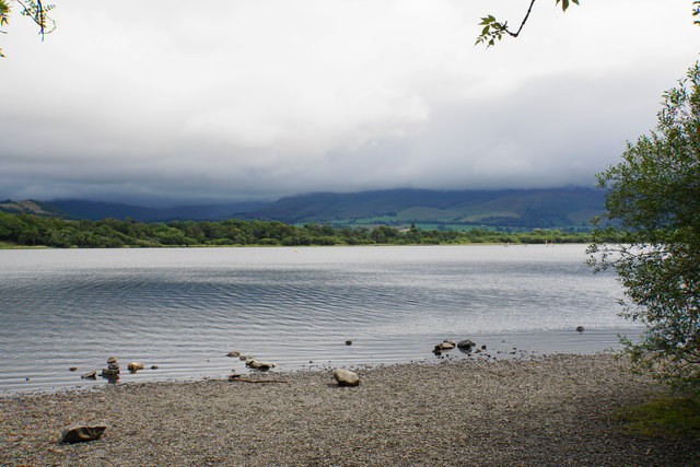
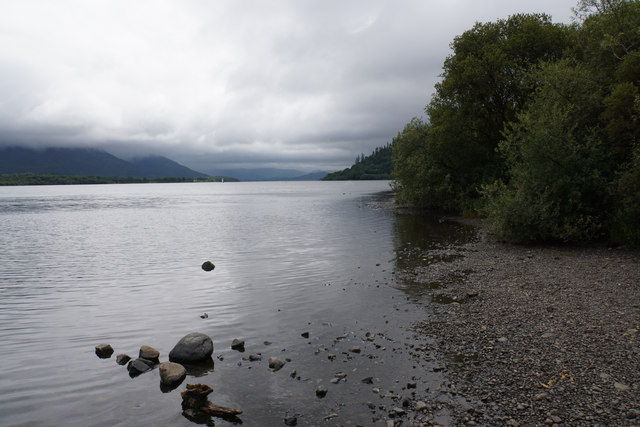
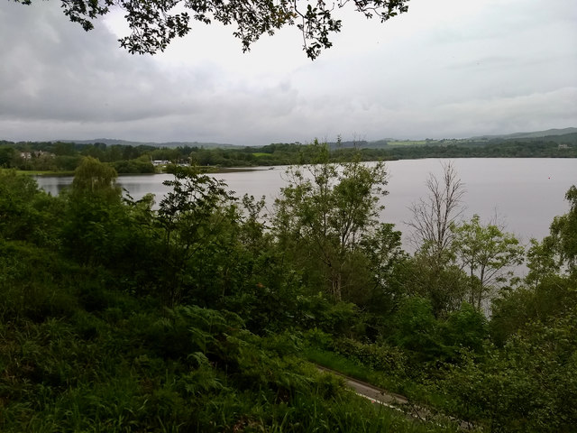
Barkby Wood Images

Images are sourced within 2km of 54.67919/-3.259791 or Grid Reference NY1832. Thanks to Geograph Open Source API. All images are credited.

Old Milestone by the B5291, near Armathwaite Hotel Carved stone post by the B5291, in parish of BASSENTHWAITE (ALLERDALE District), exit of Armathwaite Hall, on grass verge against wall, on West side of road. Cockermouth numeral, erected by the Keswick turnpike trust in the 19th century. 

Inscription reads:-
8 
(To Keswick)

Milestone Society National ID: CU_KWCM08
Old Milestone by the B5291, near Armathwaite Hotel
Carved stone post by the B5291, in parish of BASSENTHWAITE (ALLERDALE District), exit of Armathwaite Hall, on grass verge against wall, on West side of road. Cockermouth numeral, erected by the Keswick turnpike trust in the 19th century. Inscription reads:- 8 (To Keswick) Milestone Society National ID: CU_KWCM08
Bassenthwaite Lake With, in the background from right to left, Dodd, Ullock Pike and Skiddaw.
Bassenthwaite Lake
With, in the background from right to left, Dodd, Ullock Pike and Skiddaw.
Swans on Bassenthwaite Lake Near Ouse Bridge at the north end of the lake.
Swans on Bassenthwaite Lake
Near Ouse Bridge at the north end of the lake.
Banks Point The northern end of Bassenthwaite Lake.
Banks Point
The northern end of Bassenthwaite Lake.
Sheep near Banks Point On the slopes of Ruddings Hill.
Sheep near Banks Point
On the slopes of Ruddings Hill.
Bassenthwaite at Banks Point The cloud is low over Skiddaw on the far side.
Bassenthwaite at Banks Point
The cloud is low over Skiddaw on the far side.
The shore of Bassenthwaite Looking up the lake from Banks Point towards the fells around Keswick, though the cloud is low.
The shore of Bassenthwaite
Looking up the lake from Banks Point towards the fells around Keswick, though the cloud is low.
Bassenthwaite near Ouse Bridge The River Derwent flows out of the lake just to the left.
Bassenthwaite near Ouse Bridge
The River Derwent flows out of the lake just to the left.
Gated entrance An entrance to part of the Armathwaite Hall Estate which is part of the Lake District Wildlife Park.
Gated entrance
An entrance to part of the Armathwaite Hall Estate which is part of the Lake District Wildlife Park.
Footbridge over the B5291 The footbridge links parts of the Armathwaite Hall Estate.
Footbridge over the B5291
The footbridge links parts of the Armathwaite Hall Estate.
Bassenthwaite and Skiddaw The lake from Banks Point.
Bassenthwaite and Skiddaw
The lake from Banks Point.
Looking north from Castle How
A66 south of Brathay Hill
Armathwaite Hall Gateway and South Lodge The exit gate of Armathwaite Hall.  Formerly a private house, Armathwaite Hall is now a hotel.
There is an Ordnance Survey cut benchmark on the face of the right hand gatepost (detail photograph <a href="https://www.geograph.org.uk/photo/7162420">NY2032 : Benchmark, Armathwaite Hall Hotel Gate</a>).
Armathwaite Hall Gateway and South Lodge
The exit gate of Armathwaite Hall. Formerly a private house, Armathwaite Hall is now a hotel. There is an Ordnance Survey cut benchmark on the face of the right hand gatepost (detail photograph NY2032 : Benchmark, Armathwaite Hall Hotel Gate).
Benchmark, Armathwaite Hall Hotel Gate Detail of an Ordnance Survey cut benchmark on the pillar of the exit gate of Armathwaite Hall Hotel.  The benchmark marks a height of 87.6178m above mean sea level (Ordnance Datum Newlyn) last verified in 1969 (location photograph <a href="https://www.geograph.org.uk/photo/7162409">NY2032 : Armathwaite Hall Gateway and South Lodge</a>).
Benchmark, Armathwaite Hall Hotel Gate
Detail of an Ordnance Survey cut benchmark on the pillar of the exit gate of Armathwaite Hall Hotel. The benchmark marks a height of 87.6178m above mean sea level (Ordnance Datum Newlyn) last verified in 1969 (location photograph NY2032 : Armathwaite Hall Gateway and South Lodge).
Orient Express, Bassenthwaite Lake A full size model steam locomotive built for the 2017 film version of Murder on the Orient Express, now on display at Bassenthwaite Lake station. The 'locomotive' appears to be supported by a set of small rusty trolley wheels. There is a small gap between the 'real' wheels and the track.
Orient Express, Bassenthwaite Lake
A full size model steam locomotive built for the 2017 film version of Murder on the Orient Express, now on display at Bassenthwaite Lake station. The 'locomotive' appears to be supported by a set of small rusty trolley wheels. There is a small gap between the 'real' wheels and the track.
Orient Express, Bassenthwaite Lake A full size model train built for the 2017 film version of Murder on the Orient Express, now on display at Bassenthwaite Lake station. It provides additional restaurant accommodation.
Orient Express, Bassenthwaite Lake
A full size model train built for the 2017 film version of Murder on the Orient Express, now on display at Bassenthwaite Lake station. It provides additional restaurant accommodation.
Former Bassenthwaite Lake station Bassenthwaite Lake station, originally on the Cockermouth, Keswick and Penrith Railway, closed in 1966. The station buildings later became a café. The railway theme was enhanced by the acquisition of the full size model steam train from the 2017 film version of Murder on the Orient Express (extreme left).
Former Bassenthwaite Lake station
Bassenthwaite Lake station, originally on the Cockermouth, Keswick and Penrith Railway, closed in 1966. The station buildings later became a café. The railway theme was enhanced by the acquisition of the full size model steam train from the 2017 film version of Murder on the Orient Express (extreme left).
Show me another place!

Barkby Wood is located at Grid Ref: NY1832 (Lat: 54.67919, Lng: -3.259791)

Administrative County: Cumbria

District: Allerdale

Police Authority: Cumbria

What 3 Words

///outnumber.coins.upholds. Near Cockermouth, Cumbria

Nearby Locations

Big Wood Barkby Wood

Related Wikis

Setmurthy

Setmurthy is a civil parish in Allerdale, Cumbria, England, historically part of Cumberland, within the Lake District National Park in England. In the...

Dubwath

Dubwath is a hamlet in the Allerdale district, in Cumbria, England. It is part of the parish of Setmurthy. The population of this civil parish taken at...

Bassenthwaite Lake railway station

Bassenthwaite Lake railway station was situated on the Cockermouth, Keswick and Penrith Railway between Penrith and Cockermouth in Cumbria, England. The...

Armathwaite Hall

Armathwaite Hall is a luxury hotel and spa adjacent to Bassenthwaite Lake, in Cumbria. == History == The present hall dates back to circa 1500; it was...

Pheasant Inn, Bassenthwaite

The Pheasant Inn is a public house at The Pheasant Inn, Bassenthwaite, Cumbria CA13 9YE. It is Grade II listed.It is on the Campaign for Real Ale's National...

Routenbeck

Routenbeck is a hamlet in Cumbria, England. It is located at the northern foot of Sale Fell, near the north-west edge of Bassenthwaite Lake. Routenbeck...

Isel, Cumbria

Isel is a dispersed settlement and area in the valley of the River Derwent within the Lake District National Park in Cumbria, England. It is an ecclesiastical...

Sale Fell

Sale Fell is a small hill near Cockermouth in the English Lake District. It is popular with locals, as it offers gentle walking and lovely views across...

Nearby Amenities

Located within 500m of 54.67919,-3.259791
Setmurthy
Place: hamlet
Source: npe
Wikidata: Q2672760
Wikipedia: en:Setmurthy
Lat/Long: 54.6778561/-3.2627654
Post Box
Ref: CA13 96
Lat/Long: 54.6792866/-3.2658778
Natural: spring
Lat/Long: 54.6784726/-3.2564563
Power: pole
Lat/Long: 54.6766307/-3.2649242
Power: pole
Lat/Long: 54.6769832/-3.2641078
Power: pole
Lat/Long: 54.6747676/-3.2611335
Power: pole
Lat/Long: 54.6756746/-3.2614849
Power: pole
Lat/Long: 54.67632/-3.2627705
Power: pole
Lat/Long: 54.6773967/-3.2653004
Power: pole
Lat/Long: 54.6752038/-3.2594841
Power: pole
Lat/Long: 54.675585/-3.2579712
Power: pole
Lat/Long: 54.6760834/-3.2560241
Power: pole
Lat/Long: 54.676559/-3.2541743
Power: pole
Lat/Long: 54.6829425/-3.2572157
Power: pole
Lat/Long: 54.6826307/-3.2586295
Power: pole
Lat/Long: 54.6823678/-3.259758
Power: pole
Lat/Long: 54.6819352/-3.2617587
Power: pole
Lat/Long: 54.68156/-3.263404
Power: pole
Lat/Long: 54.6811884/-3.2650865
Power: pole
Lat/Long: 54.6807487/-3.2670376
The data included in this document is from www.openstreetmap.org. The data is made available under ODbL.

Have you been to Barkby Wood?

Leave your review of Barkby Wood below (or comments, questions and feedback).