Birch Wood
Wood, Forest in Devon Somerset West and Taunton
England
Birch Wood

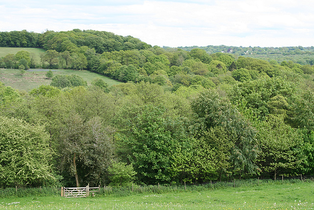
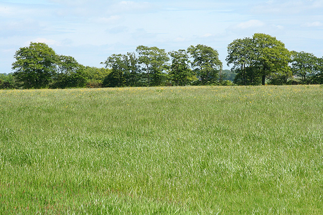
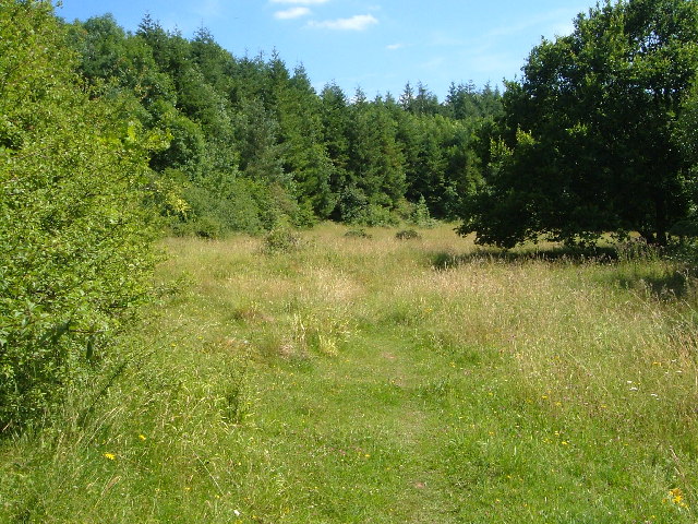
Birch Wood is a picturesque forest located in the county of Devon, England. Spread over a vast area, it is renowned for its tranquil and serene environment, making it a popular destination for nature lovers and outdoor enthusiasts. The wood is primarily composed of birch trees, which dominate the landscape with their slender trunks and distinctive white bark.
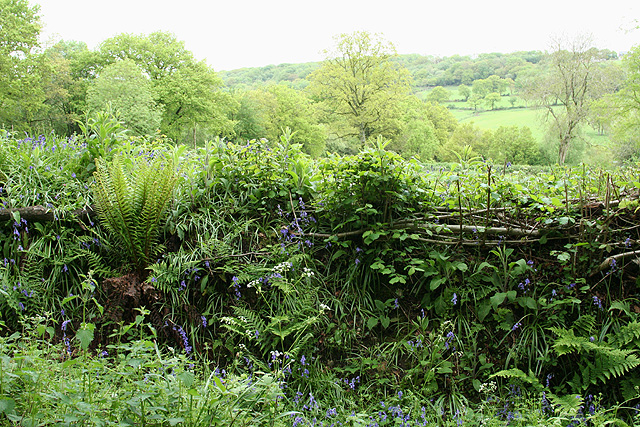
The forest boasts a rich biodiversity, with a variety of flora and fauna thriving within its boundaries. The woodland floor is carpeted with an array of wildflowers, creating a vibrant and colorful scene during the spring and summer months. Visitors can expect to see an abundance of bluebells, primroses, and wood anemones, among other species.
Birch Wood is also home to numerous species of wildlife, making it an ideal spot for wildlife enthusiasts. Birdwatchers can spot a range of species, including woodpeckers, owls, and various migratory birds, while small mammals such as squirrels, rabbits, and deer are commonly seen in the forest. The wood is also known to house a diverse range of insects and butterflies, contributing to its ecological significance.
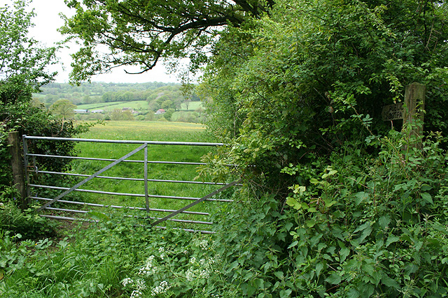
For those seeking recreational activities, Birch Wood offers a network of well-maintained footpaths and trails, allowing visitors to explore the forest at their own pace. The forest is also equipped with picnic areas, making it an ideal spot for a leisurely family outing or a peaceful picnic amidst nature.
Overall, Birch Wood in Devon is a haven of natural beauty, offering a tranquil escape from the hustle and bustle of everyday life. With its diverse flora and fauna, well-marked trails, and serene atmosphere, it is a must-visit destination for nature lovers and outdoor enthusiasts in the region.
If you have any feedback on the listing, please let us know in the comments section below.
Birch Wood Images
Images are sourced within 2km of 50.926555/-3.1560726 or Grid Reference ST1814. Thanks to Geograph Open Source API. All images are credited.


Birch Wood is located at Grid Ref: ST1814 (Lat: 50.926555, Lng: -3.1560726)
Administrative County: Somerset
District: Somerset West and Taunton
Police Authority: Avon and Somerset
What 3 Words
///everybody.trading.dignify. Near Hemyock, Devon
Nearby Locations
Related Wikis

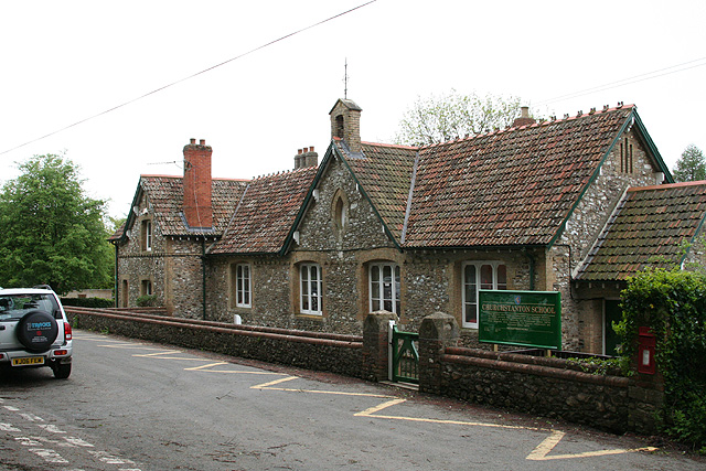
Churchstanton
Churchstanton is a village and civil parish in Somerset, England, situated within the Blackdown Hills Area of Outstanding Natural Beauty, on the River...

Ringdown SSSI, Somerset
Ringdown (grid reference ST178155) is a 4.0 hectare (9.9 acre) biological Site of Special Scientific Interest west of Burnworthy in the Blackdown Hills...

RAF Culmhead
Royal Air Force Culmhead or more simply RAF Culmhead is a former Royal Air Force station, situated at Churchstanton on the Blackdown Hills in Somerset...
Quants Reserve
Quants Reserve is a nature reserve north west of Burnworthy in Somerset, England. It consists of a grassland clearing in a forestry plantation. It is well...
Clayhidon
Clayhidon () is a village and civil parish in Mid Devon, England. The parish church is St. Andrews. The parish is in the Blackdown Hills and its northern...

Leigh Reservoir
Leigh Reservoir, or Leigh Hill Reservoir, is a small reservoir in Somerset, England. It was built in 1893 to supply water to the town of Taunton, Somerset...

Luxhay Reservoir
Luxhay Reservoir is an artificial reservoir near Angersleigh, Somerset, England. It is now owned by Wessex Water. It was built in 1905 by the town corporation...

Church of St Leonard, Otterford
The Anglican Church of St Leonard in Otterford, Somerset, England was built in the 14th century. It is a Grade II* listed building. == History == The church...
Have you been to Birch Wood?
Leave your review of Birch Wood below (or comments, questions and feedback).