The Lawns
Wood, Forest in Somerset Somerset West and Taunton
England
The Lawns
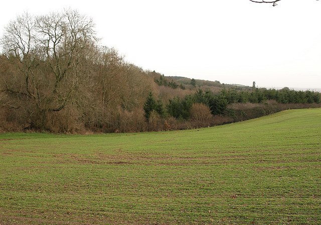
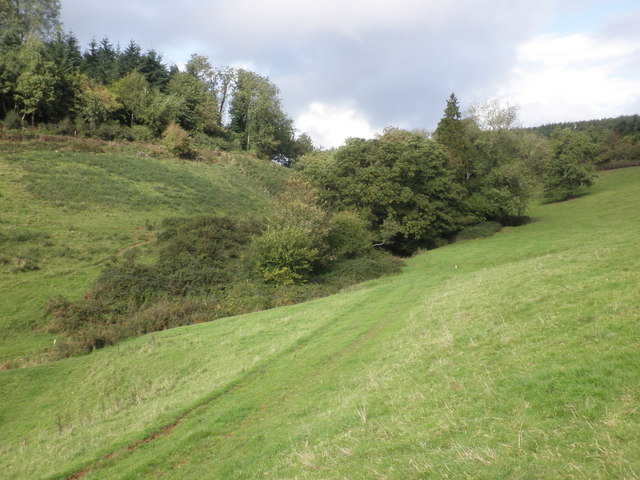
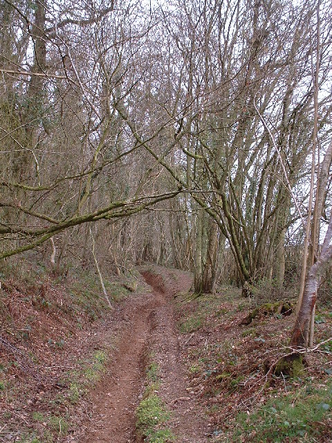
The Lawns in Somerset, also known as Wood or Forest, is a picturesque area renowned for its natural beauty and diverse ecosystem. Located in the southwestern region of England, it covers approximately 200 acres of land, making it an ideal destination for nature enthusiasts and outdoor enthusiasts alike.
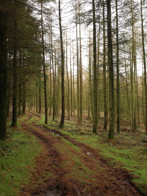
The Lawns boasts an impressive variety of trees and flora, including oak, beech, and pine, which create a dense and enchanting woodland atmosphere. The rich biodiversity of the area is further enhanced by the presence of several small streams and ponds, providing a habitat for various species of birds, insects, and aquatic life.
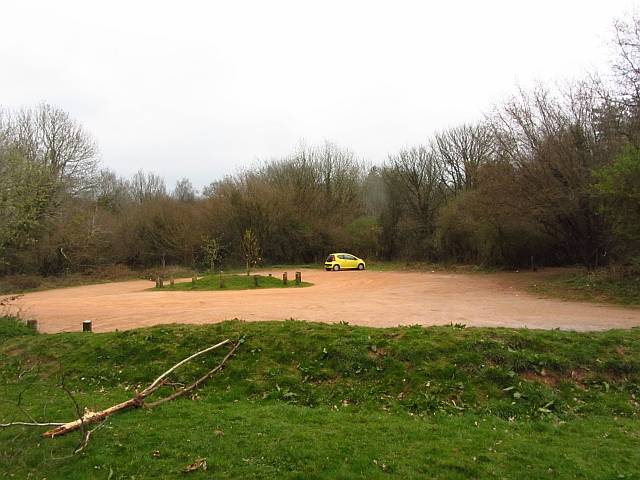
Visitors to The Lawns can enjoy a range of recreational activities, such as hiking, cycling, and birdwatching. The well-maintained trails meander through the forest, offering a peaceful and tranquil environment for exploration. The Lawns also features picnic areas and designated spots for nature observation, allowing visitors to immerse themselves in the serene surroundings.
This natural haven is not only appreciated for its aesthetic appeal but also for its ecological significance. The Lawns plays a crucial role in conserving and protecting local wildlife and flora, serving as a valuable sanctuary for endangered species and rare plants.
With its idyllic setting and abundant natural resources, The Lawns in Somerset is a must-visit destination for those seeking a peaceful retreat in the heart of nature. It offers a unique opportunity to reconnect with the environment, appreciate the wonders of the woodland, and experience the tranquility that can only be found in such a breathtaking natural landscape.
If you have any feedback on the listing, please let us know in the comments section below.
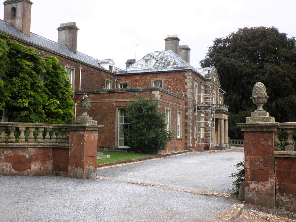
The Lawns Images
Images are sourced within 2km of 51.078493/-3.1643529 or Grid Reference ST1831. Thanks to Geograph Open Source API. All images are credited.


The Lawns is located at Grid Ref: ST1831 (Lat: 51.078493, Lng: -3.1643529)
Administrative County: Somerset
District: Somerset West and Taunton
Police Authority: Avon and Somerset
What 3 Words
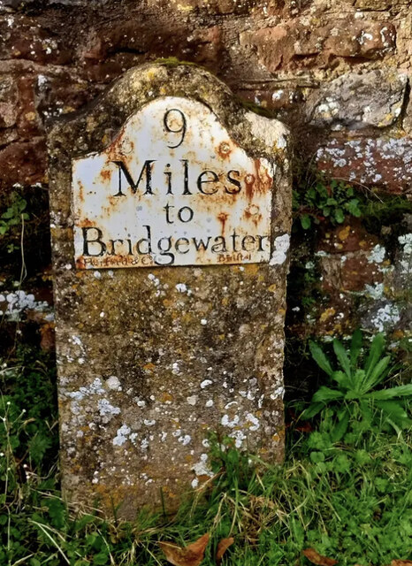
///gosh.menu.grass. Near Bishops Lydeard, Somerset
Nearby Locations
Related Wikis

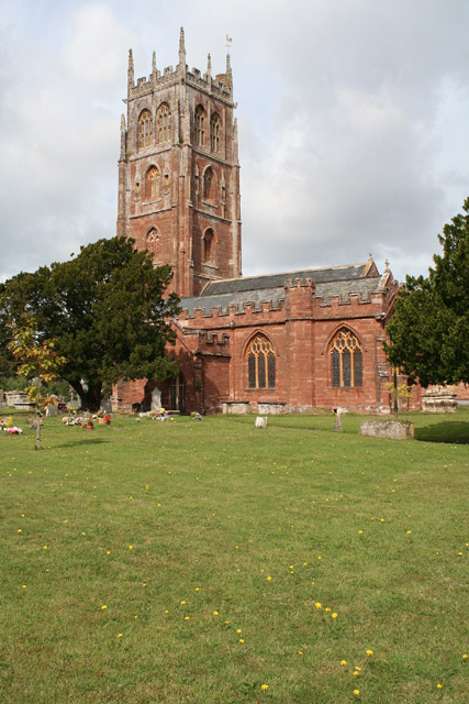
Cothelstone
Cothelstone is a village and civil parish in Somerset, England, situated in the Quantock Hills six miles north of Taunton. The parish, which includes the...
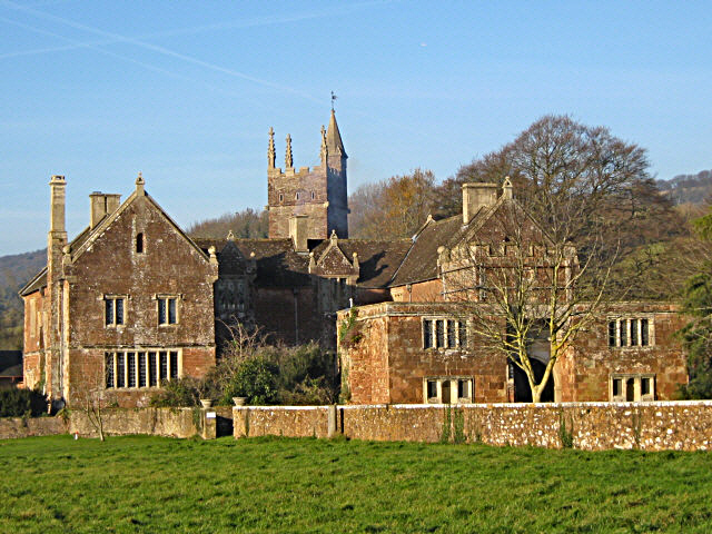
Cothelstone Manor
Cothelstone Manor in Cothelstone, Somerset, England was built in the mid-16th century, largely demolished by the parliamentary troops in 1646 and rebuilt...

Seven Sisters (Quantock Hills)
The Seven Sisters is a clump of beech trees on Cothelstone Hill in the Quantock Hills, England. Originally planted in the 18th century, they form a well...

West Bagborough Hoard
The West Bagborough Hoard is a hoard of 670 Roman coins and 72 pieces of hacksilver found in October 2001 by metal detectorist James Hawkesworth near...

Bishops Lydeard A.F.C.
Bishops Lydeard Association Football Club is a football club based in Bishops Lydeard, near Taunton, in Somerset, England. They are currently members of...

West Bagborough
West Bagborough is a village and civil parish in Somerset, England, about 5 miles (8.0 km) north of Taunton. In 2011, the village had a population of 358...
Bishops Lydeard
Bishops Lydeard () is a village and civil parish located in Somerset, England, 5 miles (8 km) north-west of Taunton. The civil parish encompasses the hamlets...
Lydeard House
Lydeard House in Bishops Lydeard, Somerset, England was built in the mid 18th century. It is a Grade II* listed building. == History == Lydeard House was...
Related Videos
Cothelstone Hill near Bridgwater in Somerset
In this video we show you the hiking trail to Cothelstone Hill, Taunton near Bridgwater in Somerset in South West England The ...
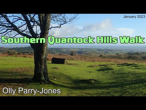
Southern Quantock Hills Walk
Link to the route I followed on OS Maps: ...

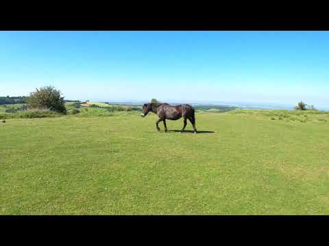
Cothelstone Hill Pony Paradise - in the snowy Quantock Hills, Somerset |
Feeling festively frazzled? Chill a bit with this naturally festive video! Join me strolling on snowy Cothelstone Hill in the Quantock ...
West Bagborough To Crowcombe Over The Quantock Hills, Part I Arrival and Then the Walk Up Stout Lane
A excellent journey and connection between train and bus today---The bus from Taunton now stops to pick you up right outside ...
Nearby Amenities
Located within 500m of 51.078493,-3.1643529Have you been to The Lawns?
Leave your review of The Lawns below (or comments, questions and feedback).