Cothelstone
Settlement in Somerset Somerset West and Taunton
England
Cothelstone

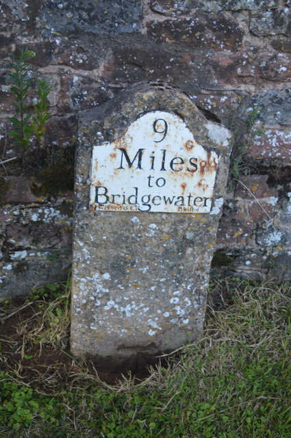
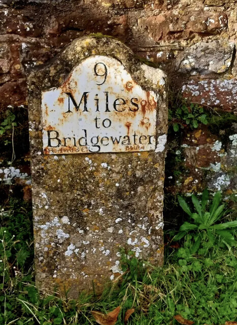
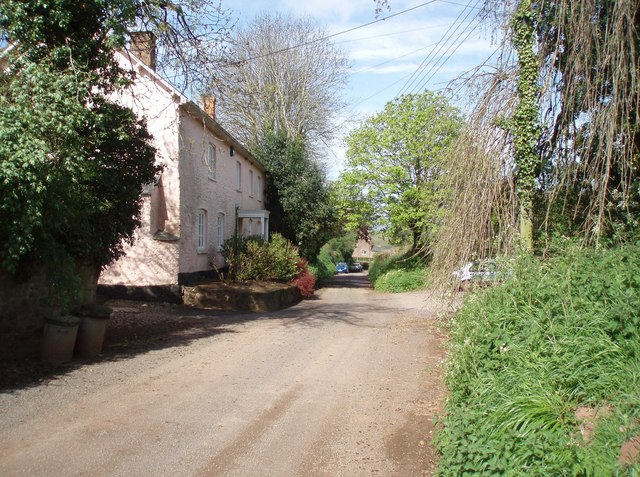
Cothelstone is a small village located in the county of Somerset, England. Situated approximately 6 miles southwest of the county town of Taunton, it is nestled within the picturesque Quantock Hills Area of Outstanding Natural Beauty.
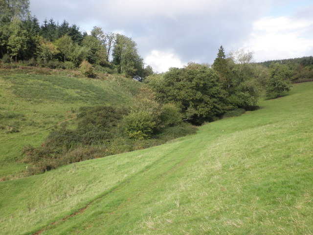
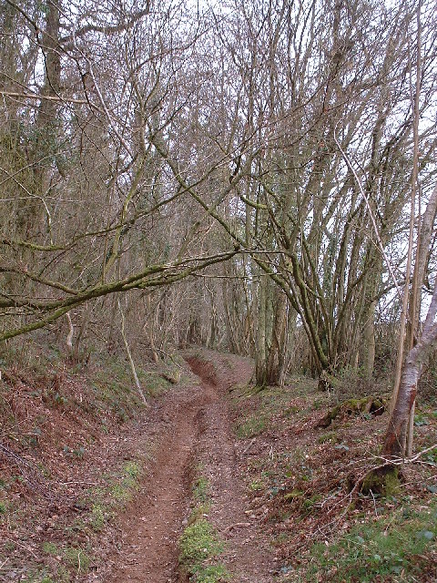
The village is known for its charming rural setting, surrounded by rolling hills and lush green landscapes. Its name is derived from the nearby Cothelstone Hill, which stands at an elevation of 330 meters and offers breathtaking panoramic views of the surrounding countryside.
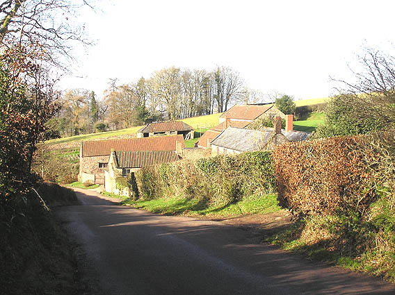
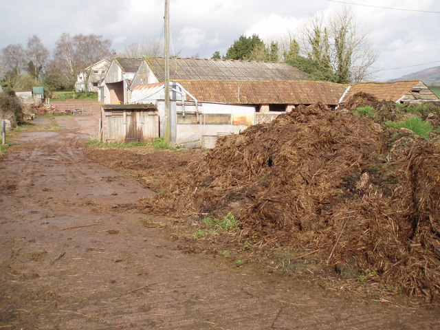
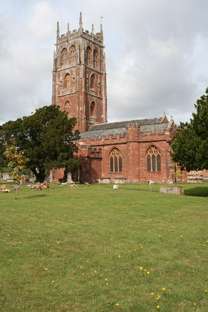
Cothelstone is home to a close-knit community, with a population of around 200 residents. The village is predominantly residential, consisting of a mix of traditional stone cottages, historic buildings, and newer houses. The local church, St. Thomas of Canterbury, dates back to the 13th century and is a notable architectural landmark in the area.
The village enjoys a peaceful and tranquil atmosphere, making it an ideal location for those seeking a rural retreat. It offers a range of outdoor activities, including walking, hiking, and cycling, with numerous trails and paths crisscrossing the surrounding countryside.
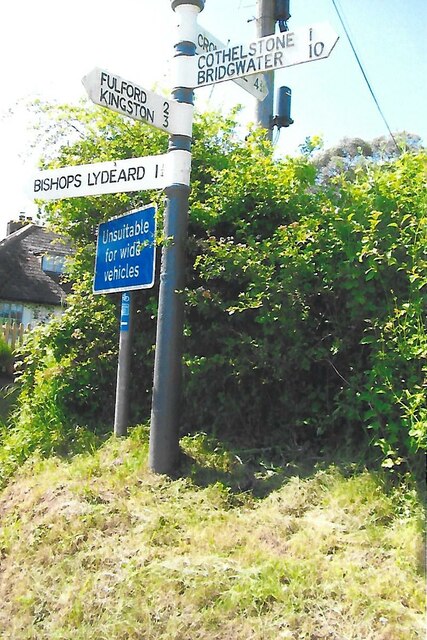
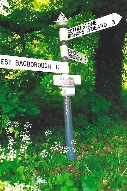
Despite its small size, Cothelstone benefits from its proximity to Taunton, which provides residents with access to a wider range of amenities, including shops, schools, and healthcare facilities. The village also has good transport links, with regular bus services connecting it to nearby towns and villages.
Overall, Cothelstone offers a idyllic countryside escape, with its natural beauty, historic charm, and sense of community making it a highly desirable place to live or visit.
If you have any feedback on the listing, please let us know in the comments section below.
Cothelstone Images
Images are sourced within 2km of 51.078436/-3.168992 or Grid Reference ST1831. Thanks to Geograph Open Source API. All images are credited.


Cothelstone is located at Grid Ref: ST1831 (Lat: 51.078436, Lng: -3.168992)
Administrative County: Somerset
District: Somerset West and Taunton
Police Authority: Avon and Somerset
What 3 Words
///climbing.choppers.corrects. Near Bishops Lydeard, Somerset
Nearby Locations
Related Wikis
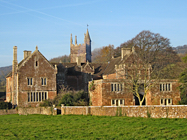
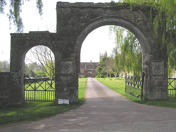
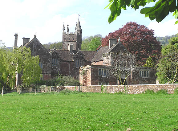
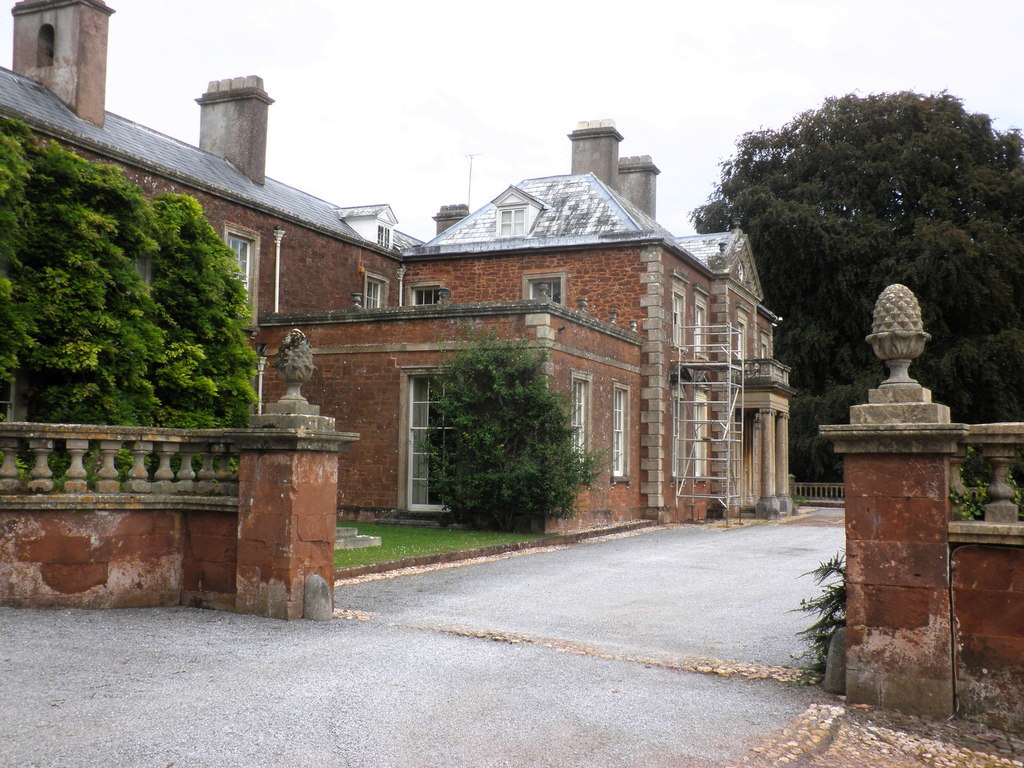
Cothelstone Manor
Cothelstone Manor in Cothelstone, Somerset, England was built in the mid-16th century, largely demolished by the parliamentary troops in 1646 and rebuilt...

Cothelstone
Cothelstone is a village and civil parish in Somerset, England, situated in the Quantock Hills six miles north of Taunton. The parish, which includes the...

Seven Sisters (Quantock Hills)
The Seven Sisters is a clump of beech trees on Cothelstone Hill in the Quantock Hills, England. Originally planted in the 18th century, they form a well...

West Bagborough Hoard
The West Bagborough Hoard is a hoard of 670 Roman coins and 72 pieces of hacksilver found in October 2001 by metal detectorist James Hawkesworth near...

Bishops Lydeard A.F.C.
Bishops Lydeard Association Football Club is a football club based in Bishops Lydeard, near Taunton, in Somerset, England. They are currently members of...

West Bagborough
West Bagborough is a village and civil parish in Somerset, England, about 5 miles (8.0 km) north of Taunton. In 2011, the village had a population of 358...
Bishops Lydeard
Bishops Lydeard () is a village and civil parish located in Somerset, England, 5 miles (8 km) north-west of Taunton. The civil parish encompasses the hamlets...
Lydeard House
Lydeard House in Bishops Lydeard, Somerset, England was built in the mid 18th century. It is a Grade II* listed building. == History == Lydeard House was...
Nearby Amenities
Located within 500m of 51.078436,-3.168992Have you been to Cothelstone?
Leave your review of Cothelstone below (or comments, questions and feedback).