Cothelstone

Civil Parish in Somerset Somerset West and Taunton

England

Cothelstone

Kingston St Mary: Fennington Farm Looking north-north-east towards quite a sizeable farm complex
Kingston St Mary: Fennington Farm Credit: Martin Bodman

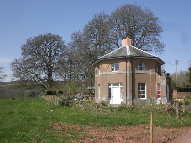
Cothelstone is a small civil parish situated in the county of Somerset, England. It is located approximately 5 miles southwest of the town of Taunton, and covers an area of around 4 square miles. The parish is nestled in the picturesque Quantock Hills, a designated Area of Outstanding Natural Beauty.

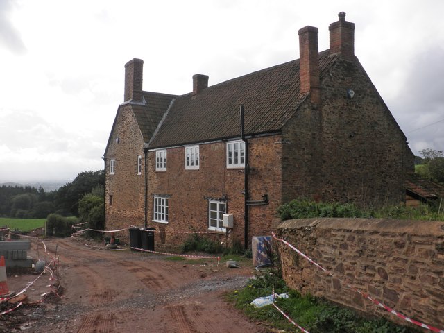
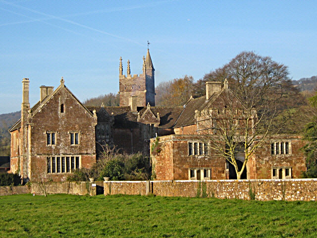
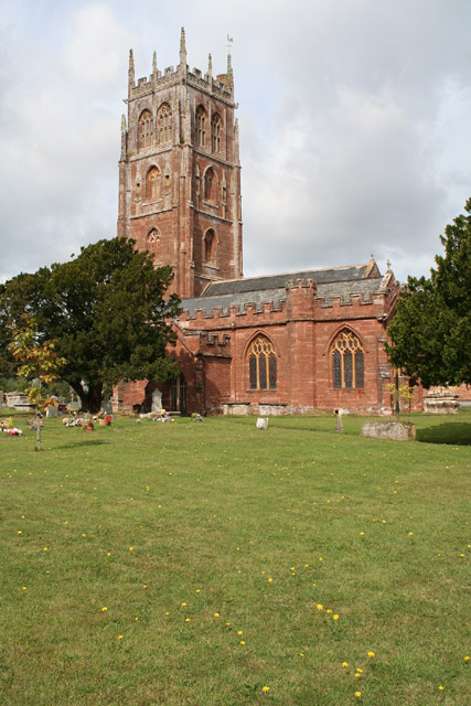
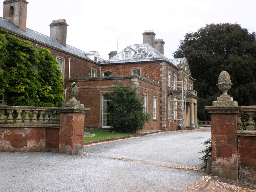
Cothelstone is known for its rich historical heritage, with evidence of human habitation in the area dating back to the Neolithic period. The village itself is centered around the 12th-century St. Thomas of Canterbury Church, which is a Grade I listed building. The church's architecture is a mix of Norman and Gothic styles, and its stunning stained glass windows and ornate stone carvings are a testament to the region's medieval past.

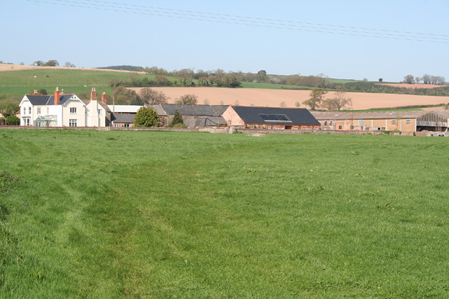
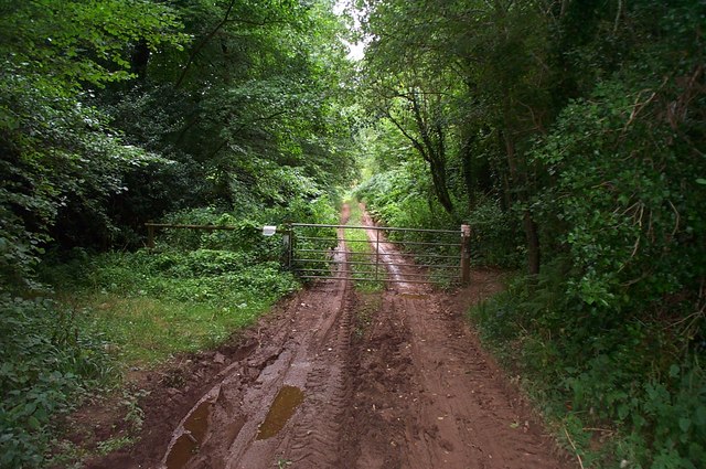
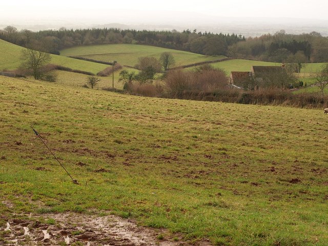
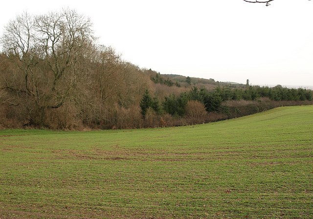
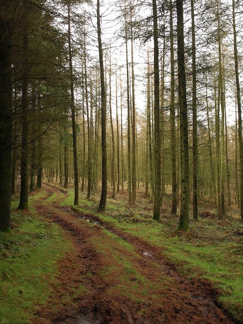
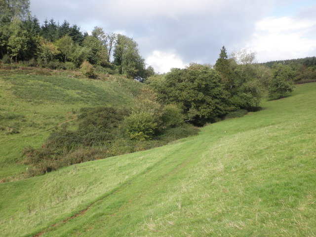
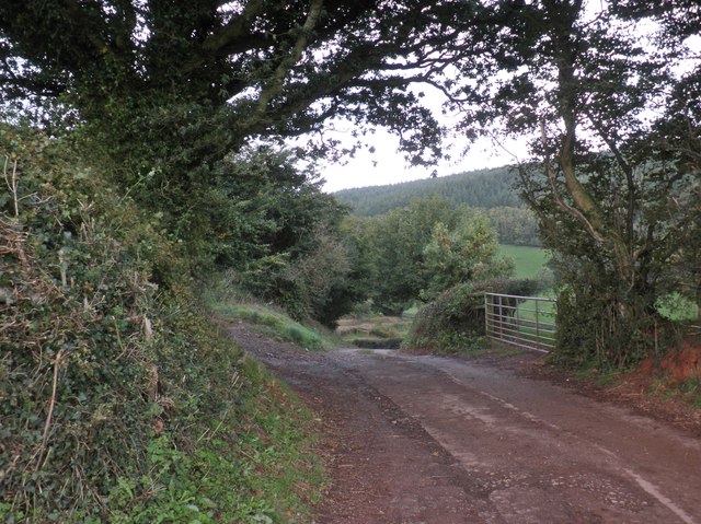
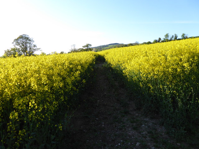
The surrounding countryside offers breathtaking views of rolling hills, dense woodlands, and open meadows. It is a popular destination for outdoor enthusiasts, with numerous walking and cycling trails to explore. The Quantock Hills also provide a haven for wildlife, including rare species such as red deer and the endangered greater horseshoe bat.

Cothelstone is a tight-knit community with a population of around 200 residents. It has a strong sense of community spirit and holds regular events and gatherings throughout the year. The village pub, The Cothelstone Inn, is a popular meeting place and serves traditional British fare.

Overall, Cothelstone is a charming and idyllic parish that offers a tranquil escape from the hustle and bustle of city life, making it a truly desirable place to live or visit.

If you have any feedback on the listing, please let us know in the comments section below.
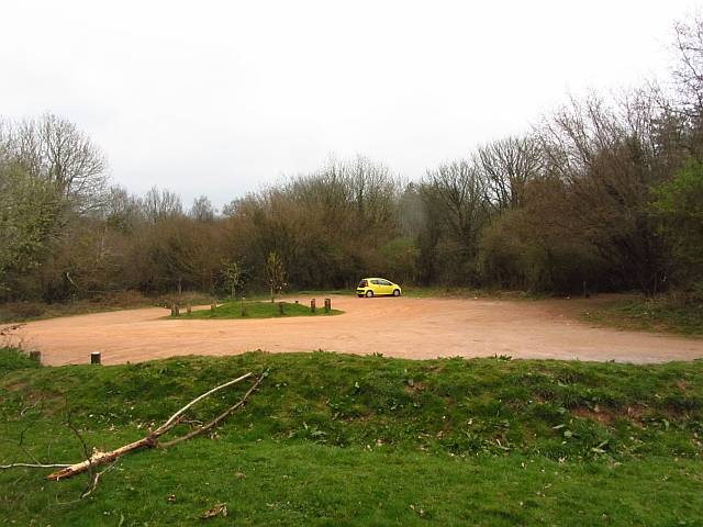
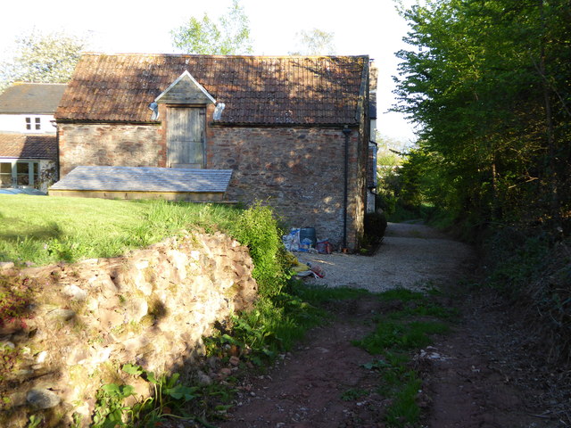
Cothelstone Images

Images are sourced within 2km of 51.074555/-3.157774 or Grid Reference ST1831. Thanks to Geograph Open Source API. All images are credited.

Kingston St Mary: Fennington Farm Looking north-north-east towards quite a sizeable farm complex
Kingston St Mary: Fennington Farm
Looking north-north-east towards quite a sizeable farm complex
Muddy track at Buncombe Wood Also a public right of way.
Muddy track at Buncombe Wood
Also a public right of way.
The southern end of the Quantock Hills, near Kingston St. Mary Taken from the road to Ivyton Farm.
The southern end of the Quantock Hills, near Kingston St. Mary
Taken from the road to Ivyton Farm.
Tetton House A very secluded house, not visible from any public road. Photo taken from a public footpath across Tetton Park.
Tetton House
A very secluded house, not visible from any public road. Photo taken from a public footpath across Tetton Park.
Quantock Greenway The Way follows bridleway 4/31 (also followed by the Macmillan Way West) up a sunken section to meet Cushuish Lane. This is close to the spot from where <a href="https://www.geograph.org.uk/photo/1129487">ST2031 : Road above Raswell</a> was taken.
Quantock Greenway
The Way follows bridleway 4/31 (also followed by the Macmillan Way West) up a sunken section to meet Cushuish Lane. This is close to the spot from where ST2031 : Road above Raswell was taken.
Countryside near Ivyton Farm A view from a gateway on Cushuish Lane. A valley drops from the farm (just off to the right) down the southern slopes of the Quantock Hills.
Countryside near Ivyton Farm
A view from a gateway on Cushuish Lane. A valley drops from the farm (just off to the right) down the southern slopes of the Quantock Hills.
Woodland near Cushuish Looking across a sprouting winter cereal field from Cushuish Lane, here a restricted byway (T9/12, followed by the Quantock Greenway). The unnamed woods are around a steep little valley carrying a stream down towards Yarford.
Woodland near Cushuish
Looking across a sprouting winter cereal field from Cushuish Lane, here a restricted byway (T9/12, followed by the Quantock Greenway). The unnamed woods are around a steep little valley carrying a stream down towards Yarford.
Footpath in Buncombe Wood Broomfield footpath 3, which has climbed very steeply out of the head of the Kingston Stream valley, runs almost level through conifer woodland towards the Merridge Hill / Buncombe -  Cothelstone county road.
Footpath in Buncombe Wood
Broomfield footpath 3, which has climbed very steeply out of the head of the Kingston Stream valley, runs almost level through conifer woodland towards the Merridge Hill / Buncombe - Cothelstone county road.
Car park, Cothelstone Hill A good path leads up to the summit from here.
Car park, Cothelstone Hill
A good path leads up to the summit from here.
Ivyton Farm
Ivyton Farm
Secluded valley, near Ivyton Farm
Track to the main road from Ivyton Farm
Tetton House
Tetton House
Gatehouse, Tetton Park
Mature oak tree, Tetton Park
Channel to Channel (390) The path passes two buildings on the ascent.
Channel to Channel (390)
The path passes two buildings on the ascent.
Channel to Channel (392) This is a picture looking back to the barn.
Channel to Channel (392)
This is a picture looking back to the barn.
Channel to Channel (393) Remember the yellow zigzag (see <a href="https://www.geograph.org.uk/photo/4467148">ST2028 : Channel to Channel (379)</a>) which had long been in my sight?  Well, this is the start of it.
Channel to Channel (393)
Remember the yellow zigzag (see ST2028 : Channel to Channel (379)) which had long been in my sight? Well, this is the start of it.
Show me another place!

Cothelstone is located at Grid Ref: ST1831 (Lat: 51.074555, Lng: -3.157774)

Administrative County: Somerset

District: Somerset West and Taunton

Police Authority: Avon and Somerset

What 3 Words

///energetic.shady.stocks. Near Bishops Lydeard, Somerset

Related Wikis

Have you been to Cothelstone?

Leave your review of Cothelstone below (or comments, questions and feedback).