Bernard Copse

Wood, Forest in Devon East Devon

England

Bernard Copse

Luppitt : Country Lane A small lane with lots of water flowing along it.
Luppitt : Country Lane Credit: Lewis Clarke

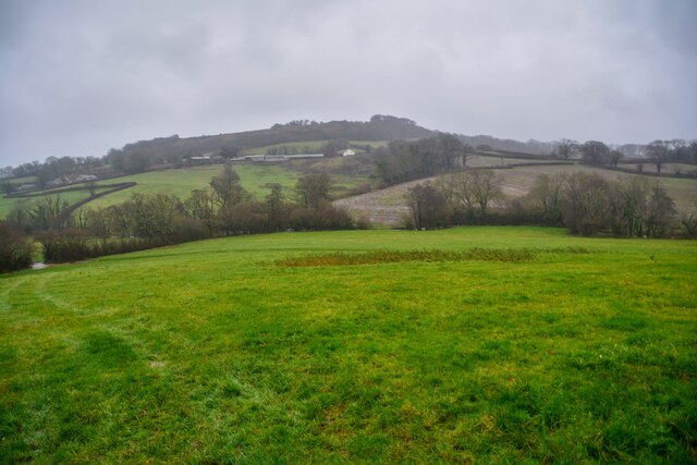
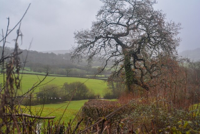
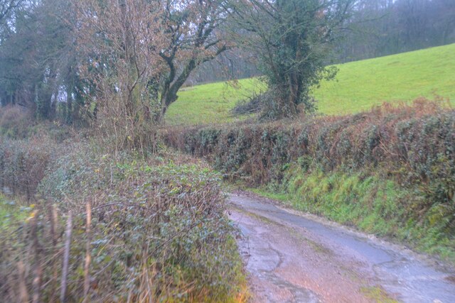
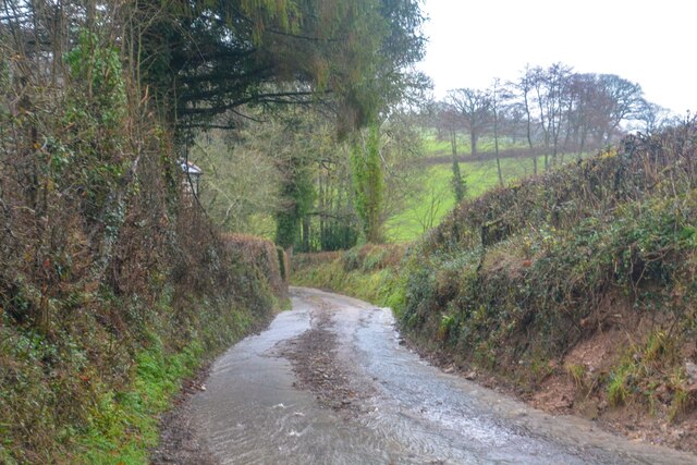
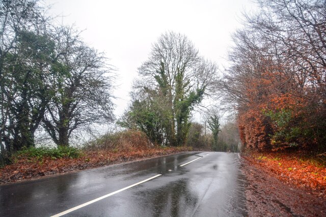
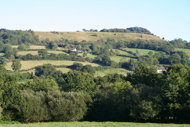
Bernard Copse, located in Devon, England, is a picturesque wood or forest area known for its natural beauty and tranquil atmosphere. Spanning approximately 200 acres, it is a popular destination for nature enthusiasts, hikers, and birdwatchers alike.

The copse is primarily composed of broadleaf trees, including oak, beech, and birch, which provide a diverse and vibrant canopy throughout the year. The woodland floor is carpeted with an array of wildflowers, ferns, and mosses, creating a rich tapestry of colors and textures.

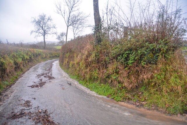
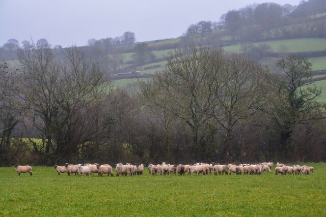
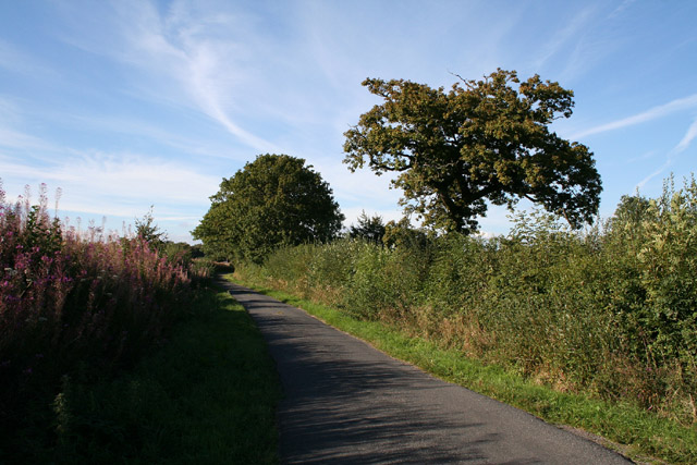
Traversing Bernard Copse, visitors can follow a network of well-maintained footpaths that meander through the forest, offering opportunities for exploration and discovery. The paths are suitable for all skill levels, accommodating both leisurely strolls and more challenging hikes. Along the way, visitors may encounter various wildlife species, such as deer, rabbits, squirrels, and a myriad of bird species.

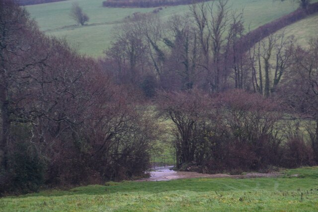
The copse is also home to a small stream that meanders through the forest, providing a refreshing retreat and a tranquil soundscape. This water source supports a diverse ecosystem, attracting an abundance of flora and fauna.

Throughout the year, Bernard Copse offers a range of seasonal delights. In spring, the wood comes alive with a burst of vibrant blossoms and the sweet fragrance of wildflowers. Summer brings lush green foliage and dappled sunlight filtering through the canopy. Autumn paints the forest with hues of red, orange, and gold, creating a stunning display of nature's beauty. In winter, the copse takes on a peaceful ambiance, with frost-covered branches and a serene hush.

Bernard Copse is a cherished natural gem in Devon, inviting visitors to immerse themselves in its serene ambiance and experience the wonder of the woodland.

If you have any feedback on the listing, please let us know in the comments section below.

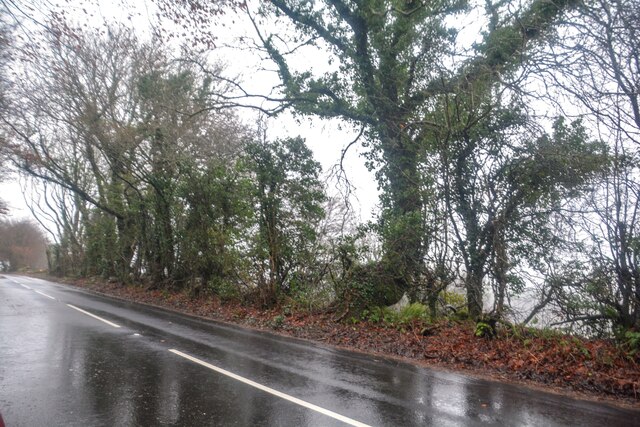
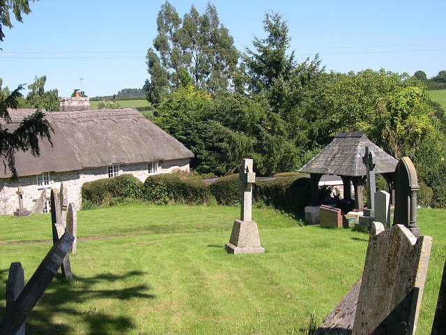
Bernard Copse Images

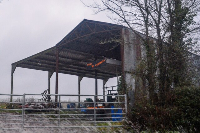
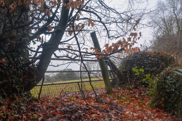
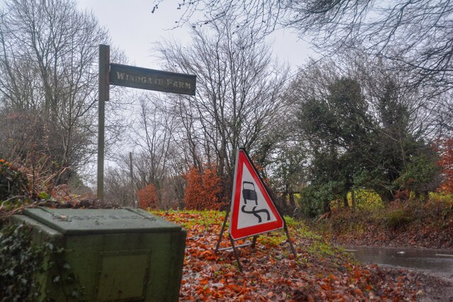
Images are sourced within 2km of 50.825549/-3.2091188 or Grid Reference ST1403. Thanks to Geograph Open Source API. All images are credited.

Luppitt : Country Lane A small lane with lots of water flowing along it.
Luppitt : Country Lane
A small lane with lots of water flowing along it.
Luppitt : Grassy Field A grassy field and sheep.
Luppitt : Grassy Field
A grassy field and sheep.
Luppitt : Stream Water flows down the hillside.
Luppitt : Stream
Water flows down the hillside.
Luppitt : Grassy Field Looking towards the brook alongside the field.
Luppitt : Grassy Field
Looking towards the brook alongside the field.
Luppitt : Grassy Field Looking across a grassy field.
Luppitt : Grassy Field
Looking across a grassy field.
Combe Raleigh : Barn A barn which is, according to the words on it, built by cowboys.
Combe Raleigh : Barn
A barn which is, according to the words on it, built by cowboys.
Combe Raleigh : Field & Gate A field beyond the gate.
Combe Raleigh : Field & Gate
A field beyond the gate.
Combe Raleigh : Road A road seen at the junction from Windgate Farm.
Combe Raleigh : Road
A road seen at the junction from Windgate Farm.
Combe Raleigh : Countryside Scenery Looking out across the countryside.
Combe Raleigh : Countryside Scenery
Looking out across the countryside.
Combe Raleigh : Country Lane A small lane.
Combe Raleigh : Country Lane
A small lane.
Combe Raleigh : Country Lane A small lane leading to Shapcombe Farm.
Combe Raleigh : Country Lane
A small lane leading to Shapcombe Farm.
Combe Raleigh : Barn A barn building seen off the lane.
Combe Raleigh : Barn
A barn building seen off the lane.
Combe Raleigh : Road A road heads through the countryside.
Combe Raleigh : Road
A road heads through the countryside.
Combe Raleigh : Road A road heads through the countryside.
Combe Raleigh : Road
A road heads through the countryside.
Combe Raleigh churchyard Also showing a thatched cottage adjacent to the churchyard.
Combe Raleigh churchyard
Also showing a thatched cottage adjacent to the churchyard.
Plant nursery near Stonehayes
Awliscombe: boundary with Combe Raleigh Looking north along the lane on the hill that separates the two parishes. Rose bay willow herb, known by some as fireweed, still flowers in the bank
Awliscombe: boundary with Combe Raleigh
Looking north along the lane on the hill that separates the two parishes. Rose bay willow herb, known by some as fireweed, still flowers in the bank
Luppitt: Dumpdon Hill Seen from the west. The hill top is owned by the National Trust and contains the remains of an Iron Age hill fort
Luppitt: Dumpdon Hill
Seen from the west. The hill top is owned by the National Trust and contains the remains of an Iron Age hill fort
Show me another place!

Bernard Copse is located at Grid Ref: ST1403 (Lat: 50.825549, Lng: -3.2091188)

Administrative County: Devon

District: East Devon

Police Authority: Devon and Cornwall

What 3 Words

///winded.indirect.pocketed. Near Honiton, Devon

Related Wikis

Combe Raleigh

Combe Raleigh () is a village and civil parish in the county of Devon, England. The village lies about 1.5 miles north of the town of Honiton, and the...

Awliscombe

Awliscombe is a village and civil parish in the East Devon district of Devon, England. The village is about two miles west of Honiton. The 2011 census...
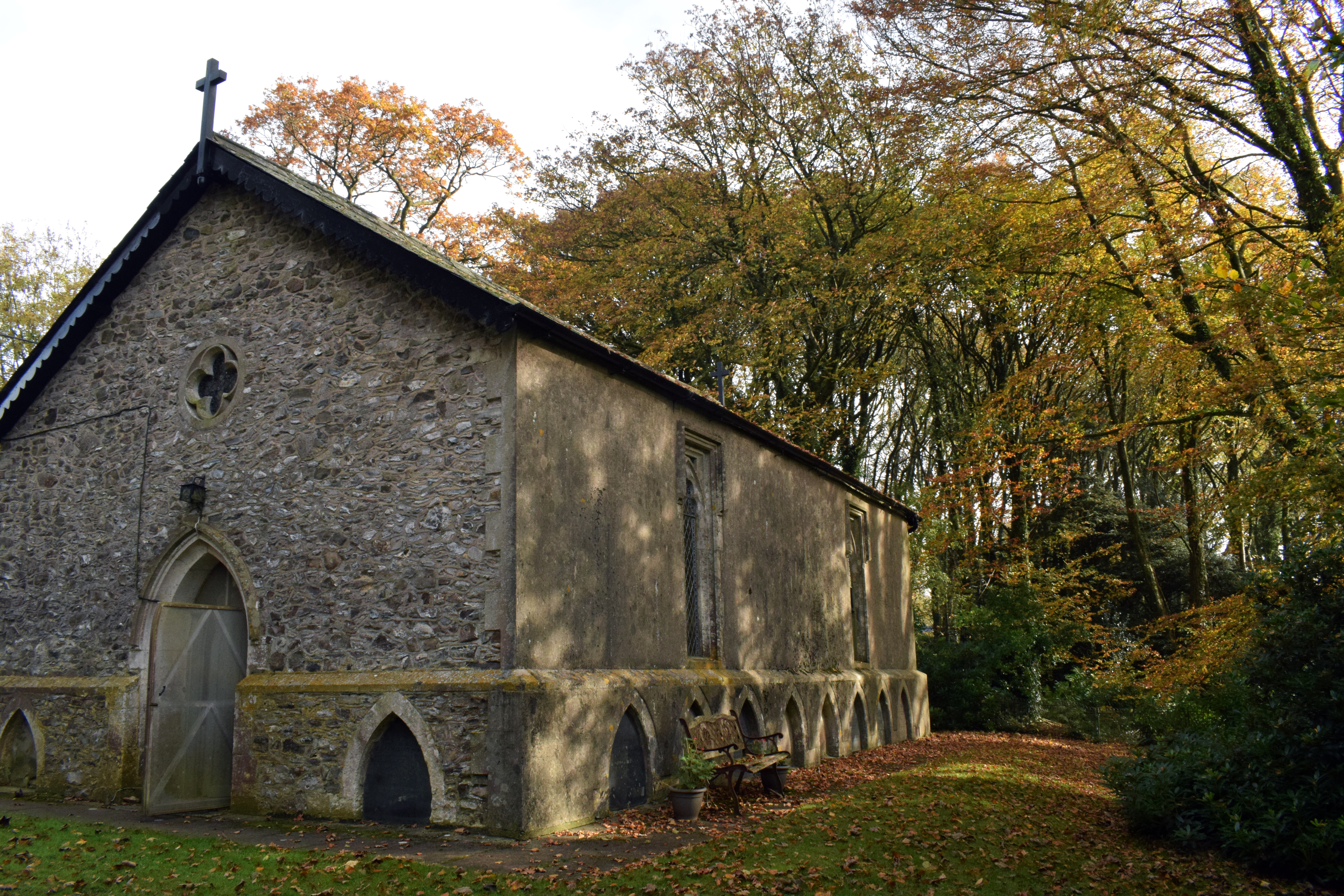
Wolford Chapel

Wolford Chapel in Devon, England, is the burial place of John Graves Simcoe, the first lieutenant governor of Upper Canada. It is the territory of the...
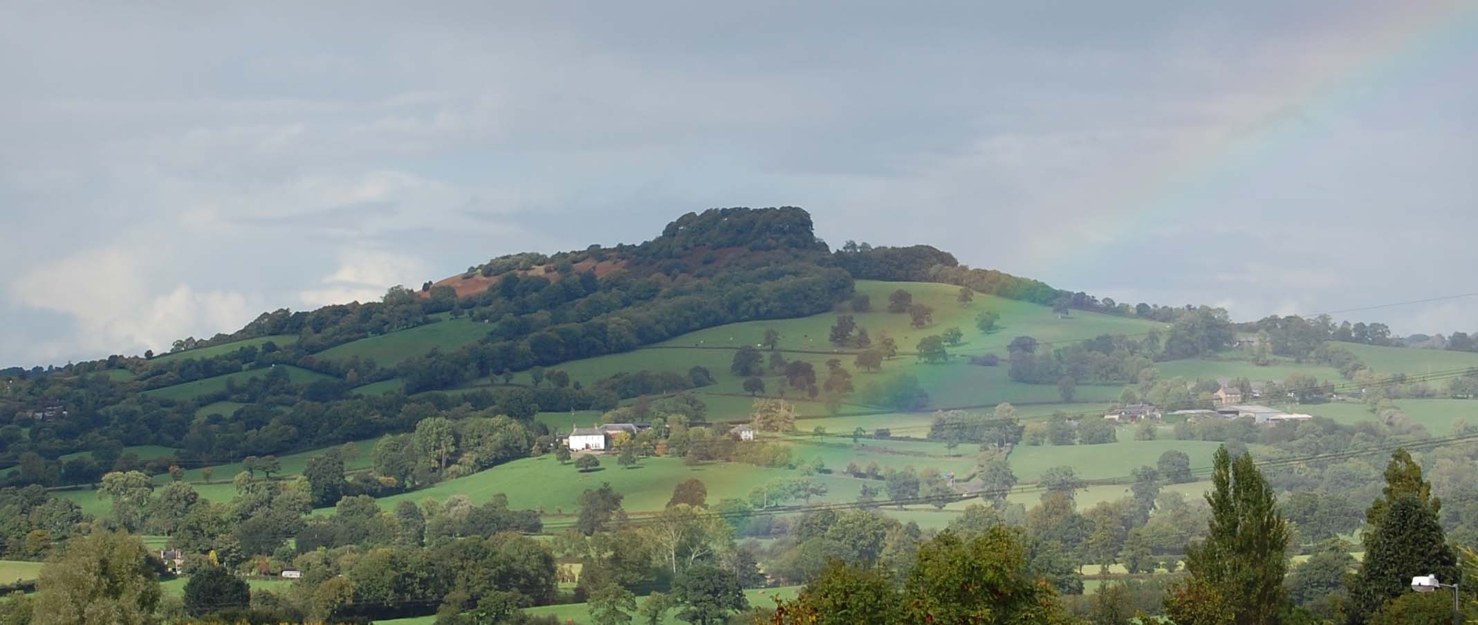
Dumpdon Hill

Dumpdon Hill is an Iron Age Hill Fort near Honiton in Devon. Somewhat overshadowed by its better known neighbour Hembury Fort it is nonetheless as impressive...

Nearby Amenities

Located within 500m of 50.825549,-3.2091188
Carpenter's Hill
Ele: 233
Natural: peak
Lat/Long: 50.8237611/-3.2031141
Power: pole
Source: bing
Lat/Long: 50.8235596/-3.2097057
Power: pole
Source: bing
Lat/Long: 50.8229708/-3.2097673
Power: pole
Source: bing
Lat/Long: 50.8224591/-3.2097982
Power: pole
Source: bing
Lat/Long: 50.8217737/-3.2103051
Power: pole
Source: bing
Lat/Long: 50.8274396/-3.2076739
Power: pole
Source: bing
Lat/Long: 50.8274269/-3.2062416
Power: pole
Source: bing
Lat/Long: 50.8274684/-3.210112
Power: pole
Source: bing
Lat/Long: 50.8274735/-3.210973
Power: pole
Source: bing
Lat/Long: 50.827426/-3.2122296
Power: pole
Source: bing
Lat/Long: 50.8273057/-3.2149172
Power: pole
Source: bing
Lat/Long: 50.8273752/-3.2135426
The data included in this document is from www.openstreetmap.org. The data is made available under ODbL.

Have you been to Bernard Copse?

Leave your review of Bernard Copse below (or comments, questions and feedback).