Hanging Plantation

Wood, Forest in Devon East Devon

England

Hanging Plantation

A stream from Pulshaynes hill A small stream runs past Iveden Copse and emerges into a culvert running parallel to the road.
A stream from Pulshaynes hill Credit: Anthony Vosper

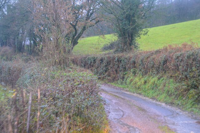
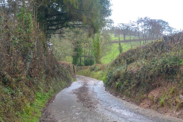
Hanging Plantation is a picturesque woodland area located in the county of Devon, England. Situated in the heart of the Devon countryside, this enchanting woodland is known for its natural beauty and serene atmosphere.

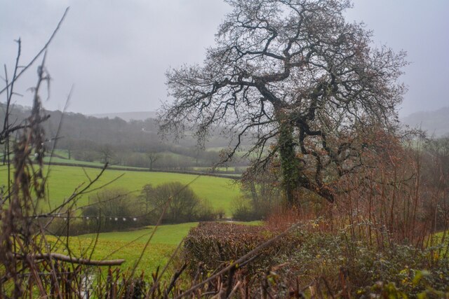
Covering an area of approximately 100 acres, Hanging Plantation is home to a diverse range of trees, including oak, beech, and ash. The woodland's dense canopy provides shelter for a variety of wildlife, making it a haven for nature enthusiasts and animal lovers alike. Visitors can expect to encounter an array of bird species, small mammals, and even the occasional deer during their exploration of the area.

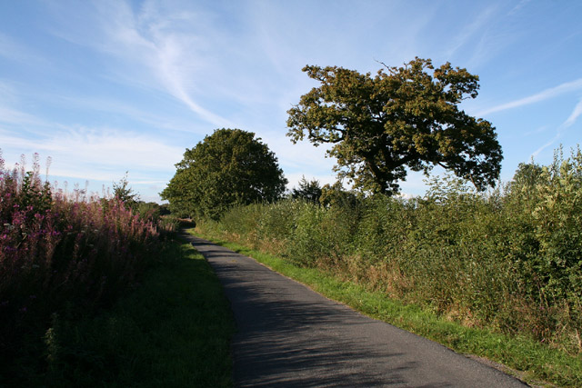
The plantation is crisscrossed by a network of well-maintained footpaths, allowing visitors to easily navigate through its enchanting trails. As they wander through the woodland, visitors are treated to breathtaking views of the surrounding countryside, with glimpses of rolling hills and open meadows.

Hanging Plantation also boasts a rich historical background. It is believed that the woodland has been present for centuries, with evidence of human activity dating back to the Roman era. The area was once used for timber production, and remnants of old charcoal kilns can still be seen today.

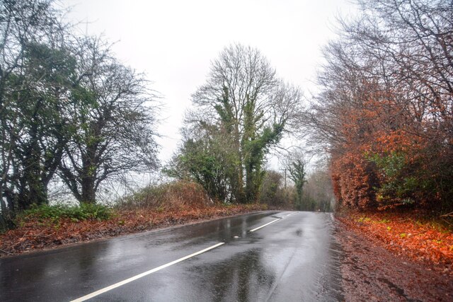
Today, Hanging Plantation is a popular destination for outdoor activities such as walking, hiking, and picnicking. Its tranquil ambiance and scenic beauty make it an ideal spot for those seeking solace in nature. Whether you're a nature lover, history enthusiast, or simply looking for a peaceful retreat, Hanging Plantation in Devon is sure to captivate your senses and leave a lasting impression.

If you have any feedback on the listing, please let us know in the comments section below.

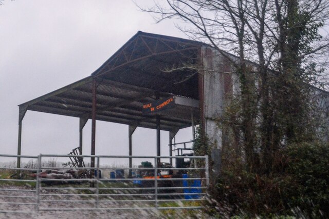
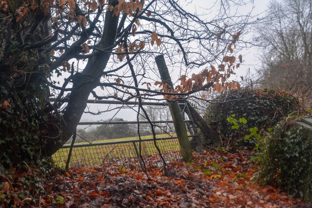
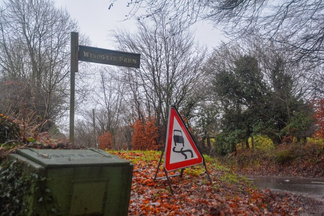
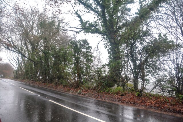
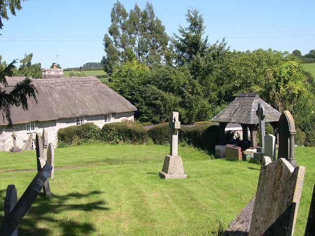
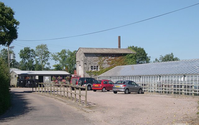
Hanging Plantation Images

Images are sourced within 2km of 50.82287/-3.212528 or Grid Reference ST1403. Thanks to Geograph Open Source API. All images are credited.

A stream from Pulshaynes hill A small stream runs past Iveden Copse and emerges into a culvert running parallel to the road.
A stream from Pulshaynes hill
A small stream runs past Iveden Copse and emerges into a culvert running parallel to the road.
Combe Raleigh : Barn A barn which is, according to the words on it, built by cowboys.
Combe Raleigh : Barn
A barn which is, according to the words on it, built by cowboys.
Combe Raleigh : Field & Gate A field beyond the gate.
Combe Raleigh : Field & Gate
A field beyond the gate.
Combe Raleigh : Road A road seen at the junction from Windgate Farm.
Combe Raleigh : Road
A road seen at the junction from Windgate Farm.
Combe Raleigh : Countryside Scenery Looking out across the countryside.
Combe Raleigh : Countryside Scenery
Looking out across the countryside.
Combe Raleigh : Country Lane A small lane.
Combe Raleigh : Country Lane
A small lane.
Combe Raleigh : Country Lane A small lane leading to Shapcombe Farm.
Combe Raleigh : Country Lane
A small lane leading to Shapcombe Farm.
Combe Raleigh : Barn A barn building seen off the lane.
Combe Raleigh : Barn
A barn building seen off the lane.
Combe Raleigh : Road A road heads through the countryside.
Combe Raleigh : Road
A road heads through the countryside.
Combe Raleigh : Road A road heads through the countryside.
Combe Raleigh : Road
A road heads through the countryside.
Combe Raleigh churchyard Also showing a thatched cottage adjacent to the churchyard.
Combe Raleigh churchyard
Also showing a thatched cottage adjacent to the churchyard.
Plant nursery near Stonehayes
Awliscombe: south to Honiton The western end of the town seen from the road that climbs St Cyres’ Hill
Awliscombe: south to Honiton
The western end of the town seen from the road that climbs St Cyres’ Hill
Awliscombe: boundary with Combe Raleigh Looking north along the lane on the hill that separates the two parishes. Rose bay willow herb, known by some as fireweed, still flowers in the bank
Awliscombe: boundary with Combe Raleigh
Looking north along the lane on the hill that separates the two parishes. Rose bay willow herb, known by some as fireweed, still flowers in the bank
Awliscombe: on St Cyres Hill By the turning to Awliscombe village – Greenway Lane – which descends steeply to the valley of the river Wolf
Awliscombe: on St Cyres Hill
By the turning to Awliscombe village – Greenway Lane – which descends steeply to the valley of the river Wolf
Awliscombe: towards the village Seen from Greenway Lane, looking south west. The church and village nestle below Buckerell Knap. On the right of this view rain obscures the distant hills and will fall in Honiton 15 minutes later
Awliscombe: towards the village
Seen from Greenway Lane, looking south west. The church and village nestle below Buckerell Knap. On the right of this view rain obscures the distant hills and will fall in Honiton 15 minutes later
Awliscombe: Pomhayes Farm Looking north-north-east. The bridleway runs on to Grange Farm and ultimately The Chase and Limers Lane
Awliscombe: Pomhayes Farm
Looking north-north-east. The bridleway runs on to Grange Farm and ultimately The Chase and Limers Lane
Awliscombe: near Pomhayes Farm The Wolf valley, looking north-north-west. Hilly ground hides the settlement at Wolverstone
Awliscombe: near Pomhayes Farm
The Wolf valley, looking north-north-west. Hilly ground hides the settlement at Wolverstone
Show me another place!

Hanging Plantation is located at Grid Ref: ST1403 (Lat: 50.82287, Lng: -3.212528)

Administrative County: Devon

District: East Devon

Police Authority: Devon and Cornwall

What 3 Words

///solutions.relay.brightly. Near Honiton, Devon

Related Wikis

Combe Raleigh

Combe Raleigh () is a village and civil parish in the county of Devon, England. The village lies about 1.5 miles north of the town of Honiton, and the...

Awliscombe

Awliscombe is a village and civil parish in the East Devon district of Devon, England. The village is about two miles west of Honiton. The 2011 census...
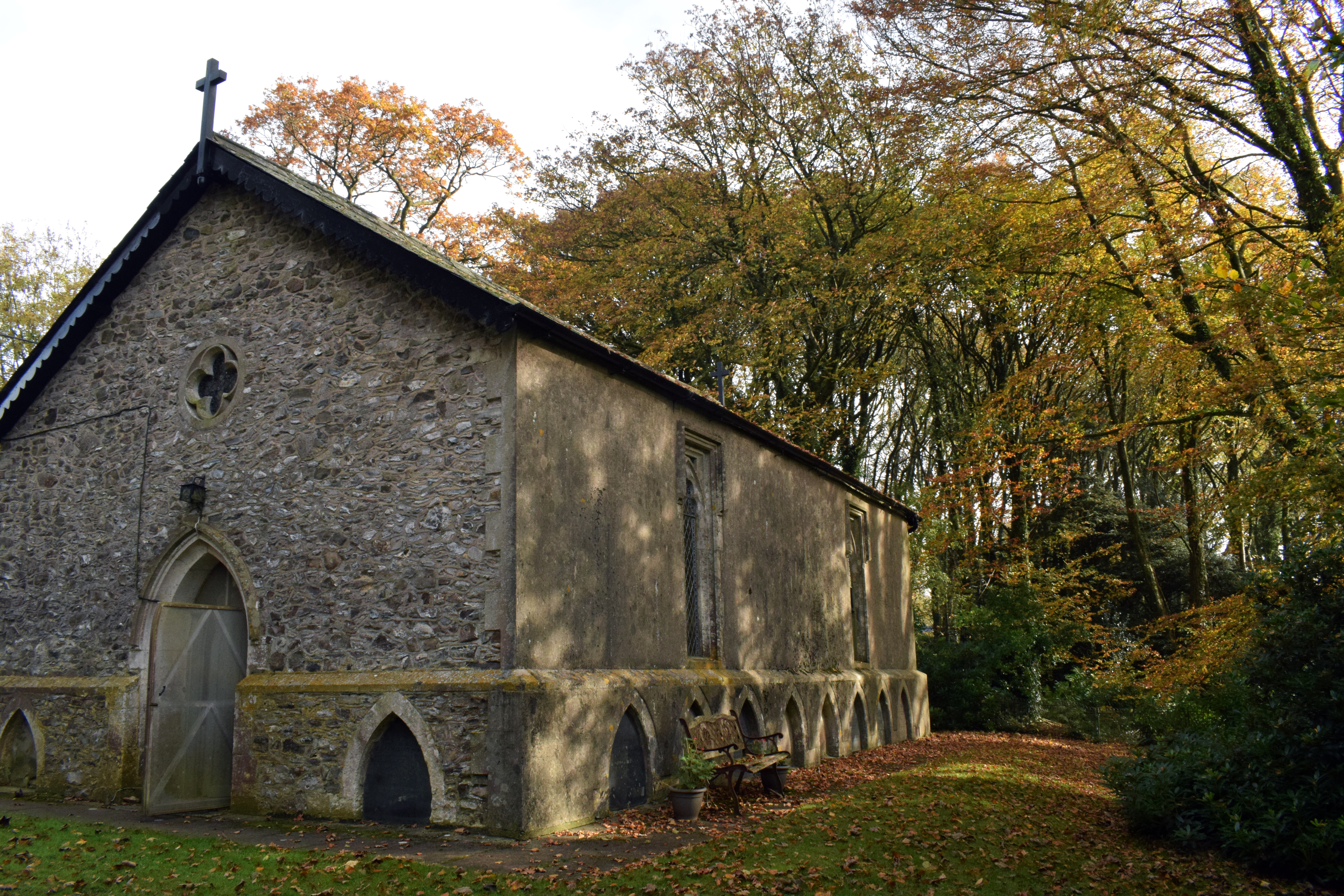
Wolford Chapel

Wolford Chapel in Devon, England, is the burial place of John Graves Simcoe, the first lieutenant governor of Upper Canada. It is the territory of the...

Honiton Town F.C.

Honiton Town Football Club is a football club based in Honiton, Devon, England. They are currently members of the South West Peninsula League Premier Division...

Nearby Amenities

Located within 500m of 50.82287,-3.212528
Generator Method: photovoltaic
Generator Output Electricity: yes
Generator Source: solar
Generator Type: solar_photovoltaic_panel
Location: roof
Power: generator
Lat/Long: 50.8195471/-3.2089064
Power: pole
Source: bing
Lat/Long: 50.819154/-3.2093462
Power: pole
Source: bing
Lat/Long: 50.8235596/-3.2097057
Power: pole
Source: bing
Lat/Long: 50.8229708/-3.2097673
Power: pole
Source: bing
Lat/Long: 50.8224591/-3.2097982
Power: pole
Source: bing
Lat/Long: 50.8217737/-3.2103051
Power: pole
Source: bing
Lat/Long: 50.821051/-3.2108375
Power: pole
Source: bing
Lat/Long: 50.8206943/-3.2111996
Power: pole
Source: bing
Lat/Long: 50.8197945/-3.211091
Power: pole
Source: bing
Lat/Long: 50.8200707/-3.2118273
Power: pole
Source: bing
Lat/Long: 50.8203935/-3.2126735
Power: pole
Source: bing
Lat/Long: 50.8208883/-3.2140119
Power: pole
Source: bing
Lat/Long: 50.8207384/-3.214661
Power: pole
Source: bing
Lat/Long: 50.8205342/-3.2155716
Power: pole
Source: bing
Lat/Long: 50.8195997/-3.2161443
Power: pole
Source: bing
Lat/Long: 50.8205113/-3.2170871
Power: pole
Source: bing
Lat/Long: 50.8209324/-3.2175498
Power: pole
Source: bing
Lat/Long: 50.8214712/-3.2180983
Power: pole
Source: bing
Lat/Long: 50.8223854/-3.2190692
The data included in this document is from www.openstreetmap.org. The data is made available under ODbL.

Have you been to Hanging Plantation?

Leave your review of Hanging Plantation below (or comments, questions and feedback).