Little Silver Plantation

Wood, Forest in Devon East Devon

England

Little Silver Plantation

Luppitt : Country Lane A small lane with lots of water flowing along it.
Luppitt : Country Lane Credit: Lewis Clarke

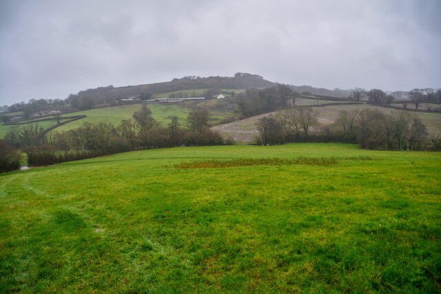
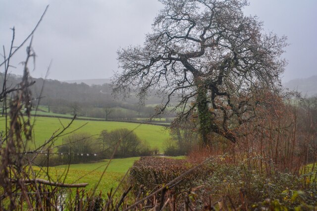
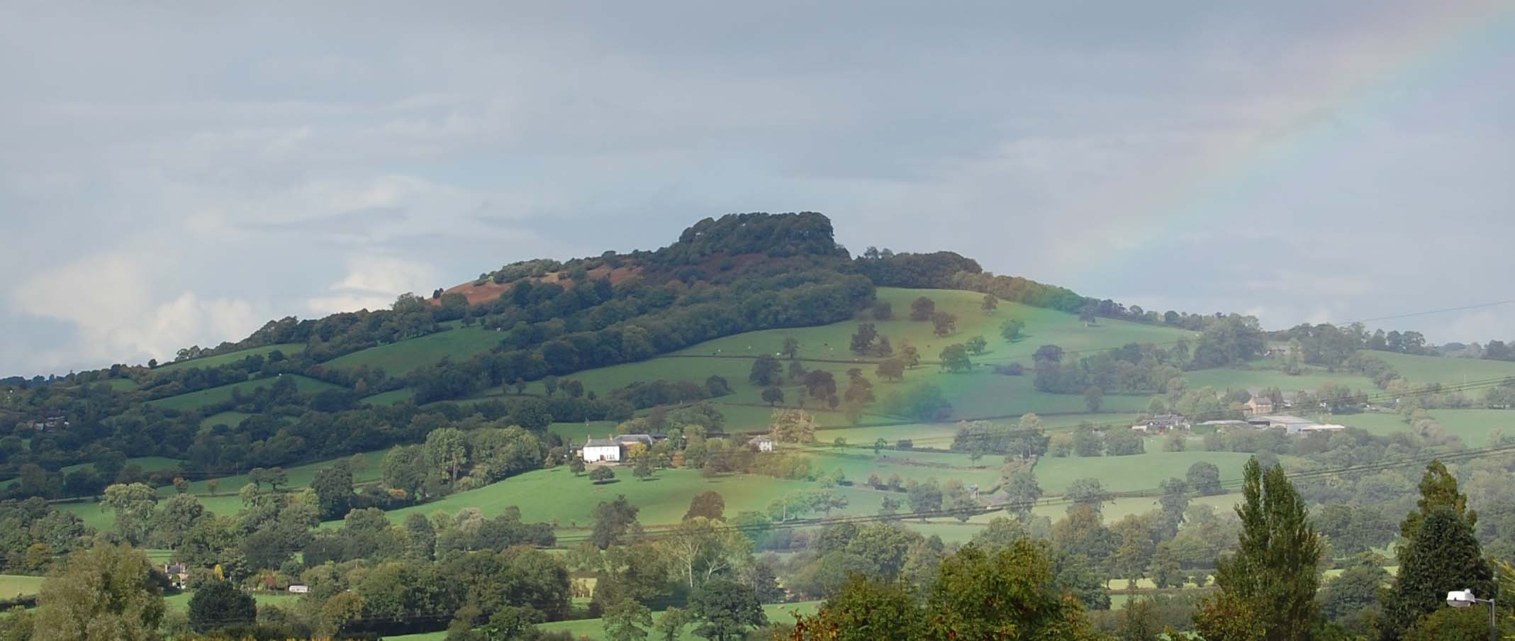
Little Silver Plantation is a charming woodland area situated in the county of Devon, England. Covering an approximate area of 100 acres, this plantation is nestled in the heart of the picturesque landscape of Devon and is renowned for its stunning natural beauty.

The plantation primarily consists of a diverse mix of trees, including oak, beech, and birch, which create a dense and lush forest. The canopy of these trees provides a cool and shady environment, making it an ideal place for leisurely walks or peaceful picnics on warm summer days.

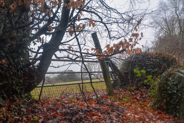
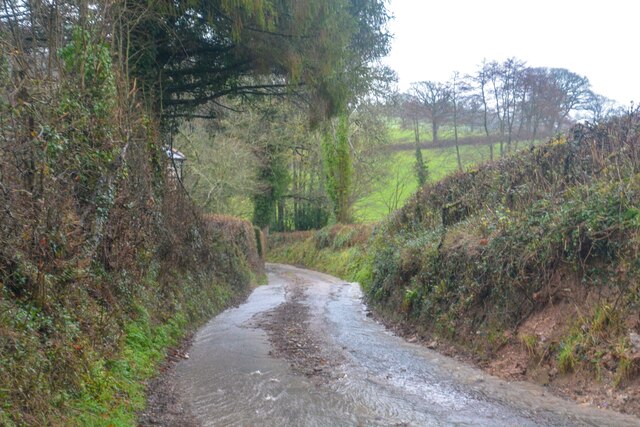
Little Silver Plantation is home to a variety of wildlife, including squirrels, rabbits, and a range of bird species. Nature enthusiasts will have the opportunity to observe and appreciate the natural habitat and the creatures that inhabit it. The plantation also boasts a small stream that meanders through the forest, adding to the tranquility and charm of the area.

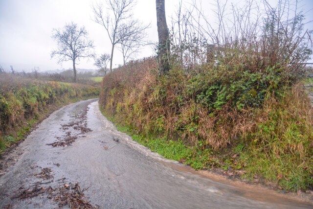
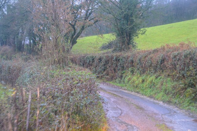
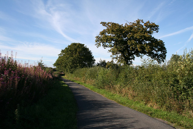
The plantation is accessible to the public and offers a network of well-maintained footpaths that wind through the woodland. These paths provide visitors with the opportunity to explore the plantation and enjoy its natural wonders. The plantation authorities also organize guided nature walks and educational programs for visitors, offering a deeper understanding of the local flora and fauna.

Little Silver Plantation is a hidden gem in Devon, offering a serene escape from the hustle and bustle of everyday life. Whether you are a nature lover, a keen photographer, or simply seeking a tranquil retreat, this woodland sanctuary is sure to captivate and rejuvenate all who visit.

If you have any feedback on the listing, please let us know in the comments section below.

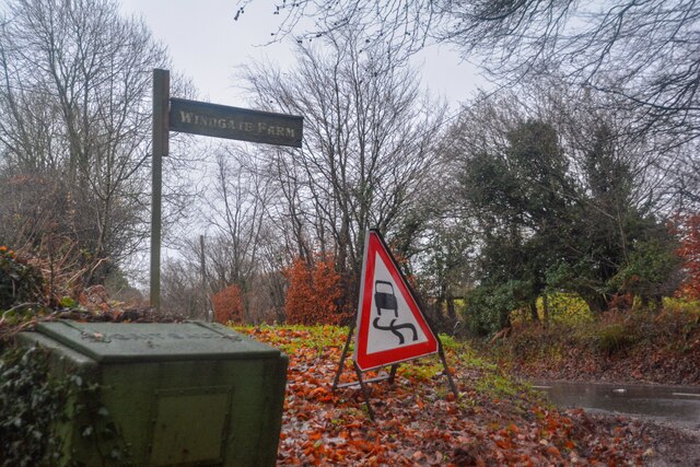
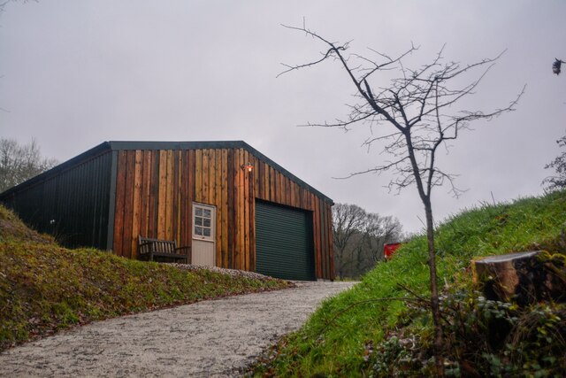
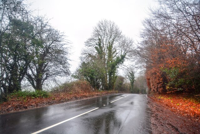
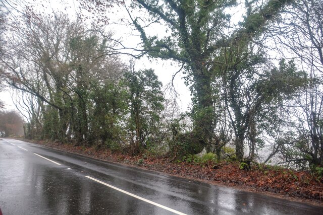
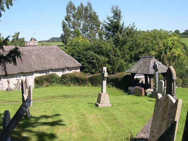
Little Silver Plantation Images

Images are sourced within 2km of 50.82512/-3.2114646 or Grid Reference ST1403. Thanks to Geograph Open Source API. All images are credited.

Luppitt : Country Lane A small lane with lots of water flowing along it.
Luppitt : Country Lane
A small lane with lots of water flowing along it.
Luppitt : Stream Water flows down the hillside.
Luppitt : Stream
Water flows down the hillside.
Luppitt : Grassy Field Looking across a grassy field.
Luppitt : Grassy Field
Looking across a grassy field.
Combe Raleigh : Barn A barn which is, according to the words on it, built by cowboys.
Combe Raleigh : Barn
A barn which is, according to the words on it, built by cowboys.
Combe Raleigh : Field & Gate A field beyond the gate.
Combe Raleigh : Field & Gate
A field beyond the gate.
Combe Raleigh : Road A road seen at the junction from Windgate Farm.
Combe Raleigh : Road
A road seen at the junction from Windgate Farm.
Combe Raleigh : Countryside Scenery Looking out across the countryside.
Combe Raleigh : Countryside Scenery
Looking out across the countryside.
Combe Raleigh : Country Lane A small lane.
Combe Raleigh : Country Lane
A small lane.
Combe Raleigh : Country Lane A small lane leading to Shapcombe Farm.
Combe Raleigh : Country Lane
A small lane leading to Shapcombe Farm.
Combe Raleigh : Barn A barn building seen off the lane.
Combe Raleigh : Barn
A barn building seen off the lane.
Combe Raleigh : Road A road heads through the countryside.
Combe Raleigh : Road
A road heads through the countryside.
Combe Raleigh : Road A road heads through the countryside.
Combe Raleigh : Road
A road heads through the countryside.
Combe Raleigh churchyard Also showing a thatched cottage adjacent to the churchyard.
Combe Raleigh churchyard
Also showing a thatched cottage adjacent to the churchyard.
Plant nursery near Stonehayes
Awliscombe: boundary with Combe Raleigh Looking north along the lane on the hill that separates the two parishes. Rose bay willow herb, known by some as fireweed, still flowers in the bank
Awliscombe: boundary with Combe Raleigh
Looking north along the lane on the hill that separates the two parishes. Rose bay willow herb, known by some as fireweed, still flowers in the bank
Luppitt: Dumpdon Hill Seen from the west. The hill top is owned by the National Trust and contains the remains of an Iron Age hill fort
Luppitt: Dumpdon Hill
Seen from the west. The hill top is owned by the National Trust and contains the remains of an Iron Age hill fort
Awliscombe: on St Cyres Hill By the turning to Awliscombe village – Greenway Lane – which descends steeply to the valley of the river Wolf
Awliscombe: on St Cyres Hill
By the turning to Awliscombe village – Greenway Lane – which descends steeply to the valley of the river Wolf
Awliscombe: towards the village Seen from Greenway Lane, looking south west. The church and village nestle below Buckerell Knap. On the right of this view rain obscures the distant hills and will fall in Honiton 15 minutes later
Awliscombe: towards the village
Seen from Greenway Lane, looking south west. The church and village nestle below Buckerell Knap. On the right of this view rain obscures the distant hills and will fall in Honiton 15 minutes later
Show me another place!

Little Silver Plantation is located at Grid Ref: ST1403 (Lat: 50.82512, Lng: -3.2114646)

Administrative County: Devon

District: East Devon

Police Authority: Devon and Cornwall

What 3 Words

///neon.tungsten.sounding. Near Honiton, Devon

Related Wikis

Combe Raleigh

Combe Raleigh () is a village and civil parish in the county of Devon, England. The village lies about 1.5 miles north of the town of Honiton, and the...

Awliscombe

Awliscombe is a village and civil parish in the East Devon district of Devon, England. The village is about two miles west of Honiton. The 2011 census...
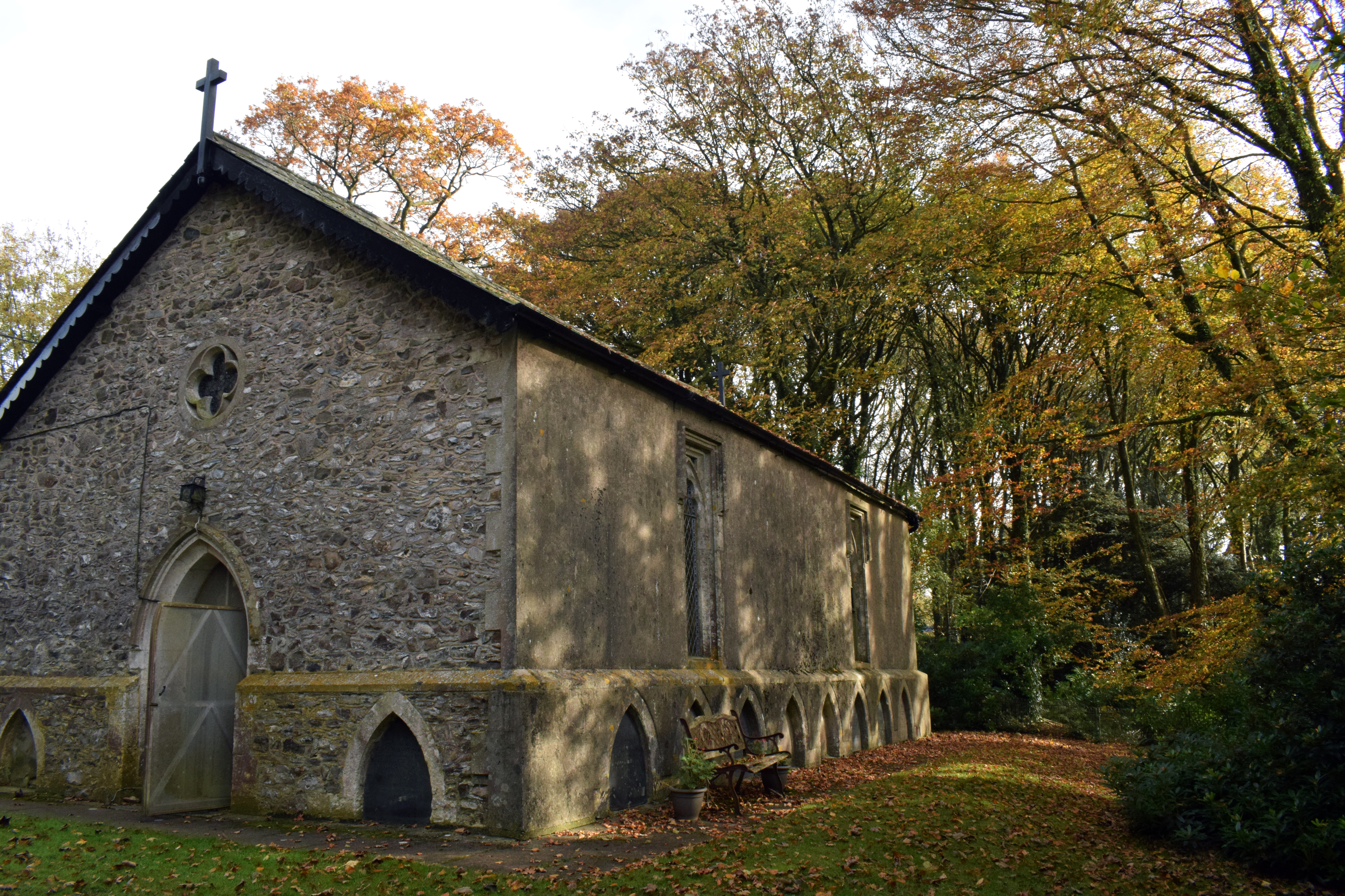
Wolford Chapel

Wolford Chapel in Devon, England, is the burial place of John Graves Simcoe, the first lieutenant governor of Upper Canada. It is the territory of the...
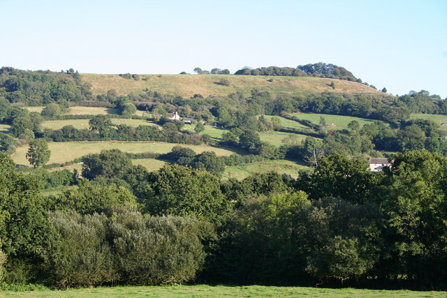
Dumpdon Hill

Dumpdon Hill is an Iron Age Hill Fort near Honiton in Devon. Somewhat overshadowed by its better known neighbour Hembury Fort it is nonetheless as impressive...

Nearby Amenities

Located within 500m of 50.82512,-3.2114646
Power: pole
Source: bing
Lat/Long: 50.8235596/-3.2097057
Power: pole
Source: bing
Lat/Long: 50.8229708/-3.2097673
Power: pole
Source: bing
Lat/Long: 50.8224591/-3.2097982
Power: pole
Source: bing
Lat/Long: 50.8217737/-3.2103051
Power: pole
Source: bing
Lat/Long: 50.821051/-3.2108375
Power: pole
Source: bing
Lat/Long: 50.8206943/-3.2111996
Power: pole
Source: bing
Lat/Long: 50.8274396/-3.2076739
Power: pole
Source: bing
Lat/Long: 50.8274269/-3.2062416
Power: pole
Source: bing
Lat/Long: 50.8274684/-3.210112
Power: pole
Source: bing
Lat/Long: 50.8274735/-3.210973
Power: pole
Source: bing
Lat/Long: 50.827426/-3.2122296
Power: pole
Source: bing
Lat/Long: 50.827038/-3.2159713
Power: pole
Source: bing
Lat/Long: 50.8273057/-3.2149172
Power: pole
Source: bing
Lat/Long: 50.8273752/-3.2135426
Power: pole
Source: bing
Lat/Long: 50.8266916/-3.2173526
The data included in this document is from www.openstreetmap.org. The data is made available under ODbL.

Have you been to Little Silver Plantation?

Leave your review of Little Silver Plantation below (or comments, questions and feedback).