Square Plantation
Wood, Forest in Devon East Devon
England
Square Plantation
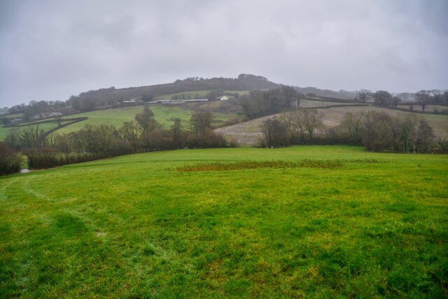
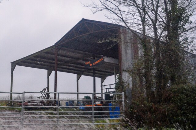
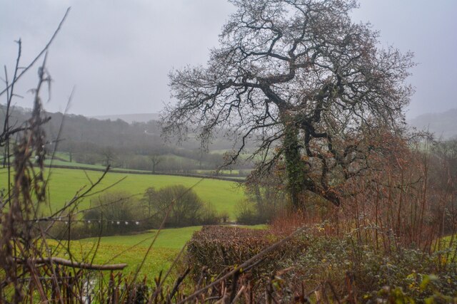
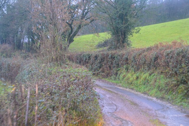
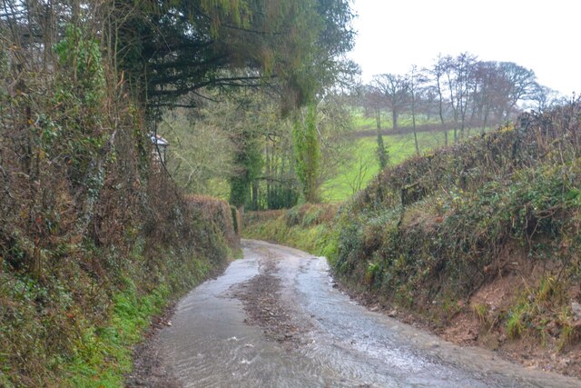
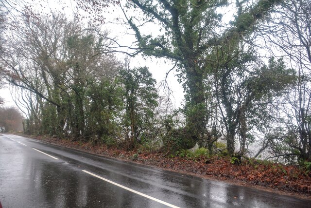
Square Plantation is a picturesque woodland located in the county of Devon, in the southwestern part of England. Situated near the village of Wood, the plantation covers an area of approximately 50 acres and is known for its diverse range of trees and tranquil atmosphere.
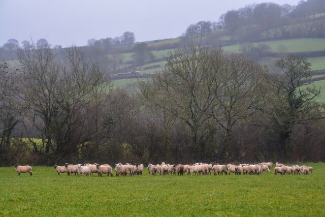
The woodland is primarily composed of native broadleaf trees, including oak, ash, beech, and birch, creating a dense and lush forest canopy. These trees provide a habitat for a variety of wildlife, such as birds, squirrels, and deer, making Square Plantation a popular spot for nature enthusiasts and birdwatchers.
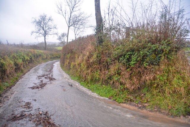
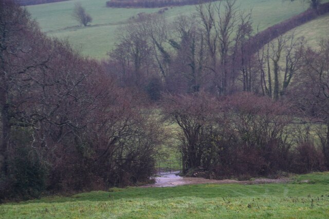
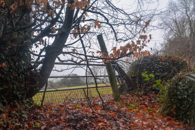
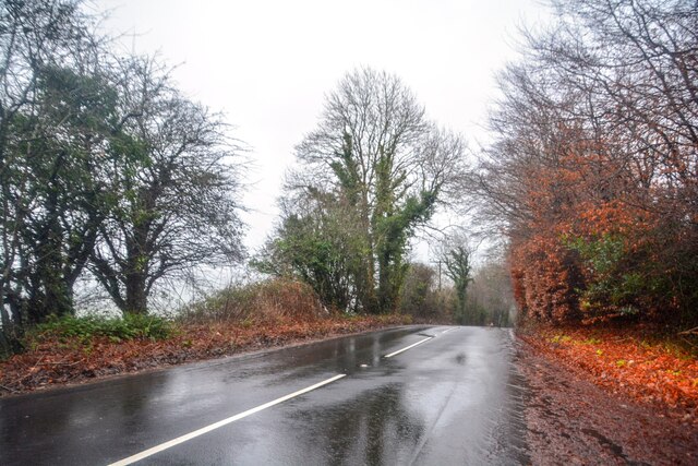
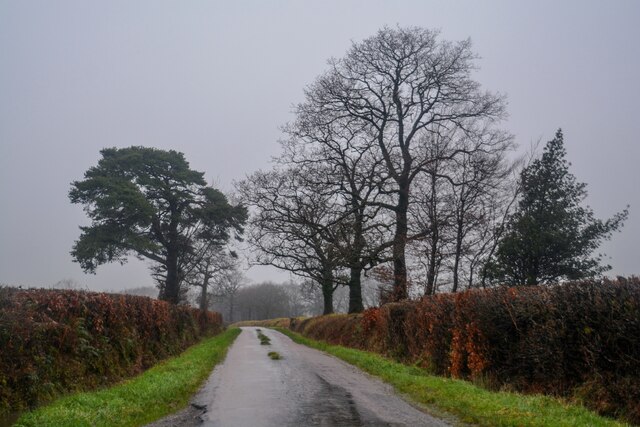
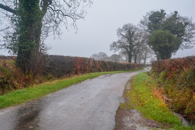
The plantation is crisscrossed by a network of well-maintained footpaths, allowing visitors to explore the woodland at their own pace. These paths lead to various features within the plantation, including a small pond and a meandering stream, adding to the charm and natural beauty of the area.
Square Plantation also offers a tranquil setting for recreational activities such as walking, jogging, and picnicking. The peaceful atmosphere, combined with the abundance of flora and fauna, makes it an ideal escape from the hustle and bustle of everyday life.
Managed by the local authorities, Square Plantation is regularly maintained to preserve its natural beauty and provide a safe environment for visitors. The plantation is open to the public throughout the year, free of charge, and has limited parking facilities available nearby.
Overall, Square Plantation is a delightful woodland retreat in Devon, offering a serene and immersive experience in the heart of nature.
If you have any feedback on the listing, please let us know in the comments section below.
Square Plantation Images
Images are sourced within 2km of 50.826431/-3.209099 or Grid Reference ST1403. Thanks to Geograph Open Source API. All images are credited.


Square Plantation is located at Grid Ref: ST1403 (Lat: 50.826431, Lng: -3.209099)
Administrative County: Devon
District: East Devon
Police Authority: Devon and Cornwall
What 3 Words
///linen.gadget.cadet. Near Honiton, Devon
Related Wikis

Combe Raleigh
Combe Raleigh () is a village and civil parish in the county of Devon, England. The village lies about 1.5 miles north of the town of Honiton, and the...
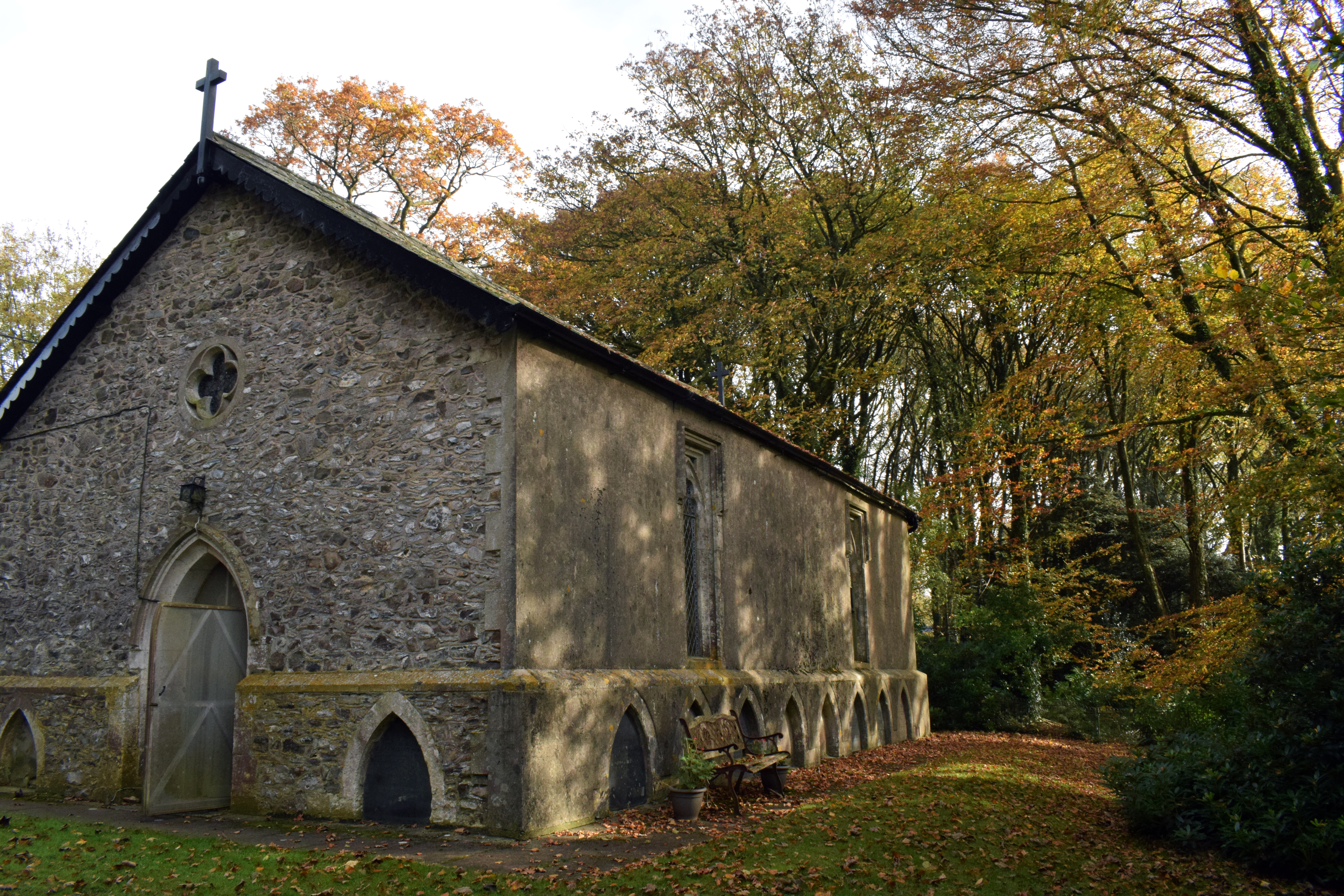
Wolford Chapel
Wolford Chapel in Devon, England, is the burial place of John Graves Simcoe, the first lieutenant governor of Upper Canada. It is the territory of the...

Awliscombe
Awliscombe is a village and civil parish in the East Devon district of Devon, England. The village is about two miles west of Honiton. The 2011 census...
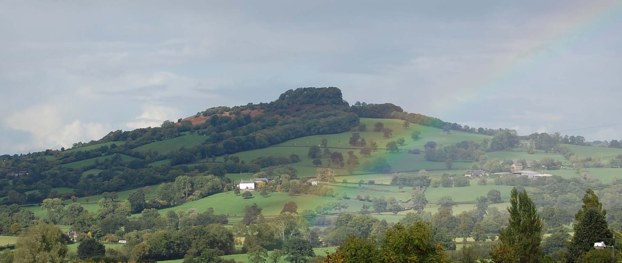
Dumpdon Hill
Dumpdon Hill is an Iron Age Hill Fort near Honiton in Devon. Somewhat overshadowed by its better known neighbour Hembury Fort it is nonetheless as impressive...
Related Videos
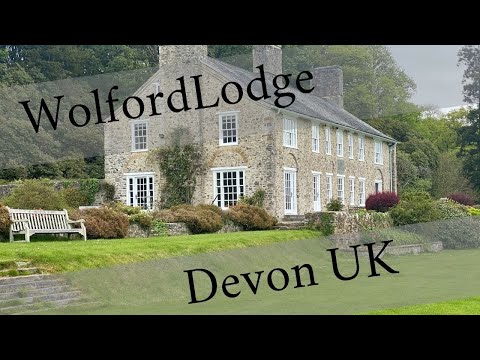
The Best Devon AirB&B - Wolford Lodge snuggled in the English Countryside
We took a big family trip out to Devon Uk at Wolford Lodge via AirB&B. This is a bit of what I was able to capture of one of the best ...

The Canadian Connection
Flo and Petra decide to go and visit Wolford chapel, historical landmark in Honiton full of quirks and history, all served with a ...

A super skydive above beautiful Devon
HUGE well done and special thanks to all our fabulous skydivers for taking to the skies above a very glorious-looking Devon on ...
Nearby Amenities
Located within 500m of 50.826431,-3.209099Have you been to Square Plantation?
Leave your review of Square Plantation below (or comments, questions and feedback).