Wadhays Plantation

Wood, Forest in Devon East Devon

England

Wadhays Plantation

A stream from Pulshaynes hill A small stream runs past Iveden Copse and emerges into a culvert running parallel to the road.
A stream from Pulshaynes hill Credit: Anthony Vosper

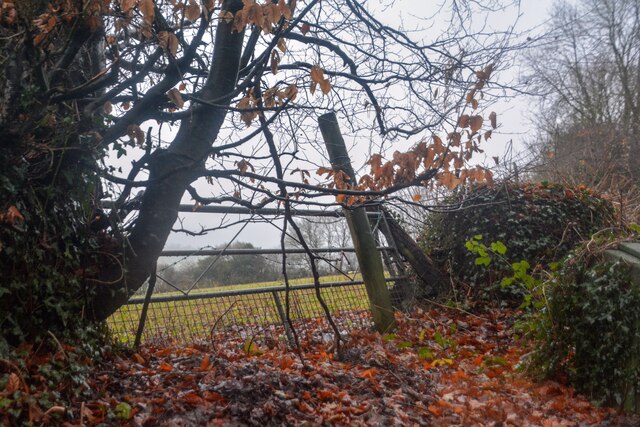
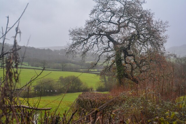
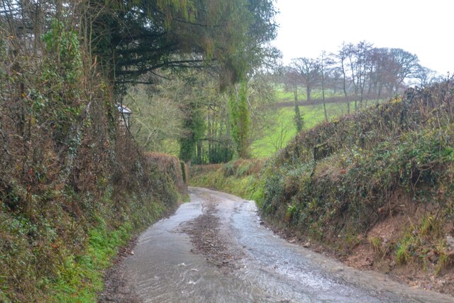
Wadhays Plantation is a picturesque woodland located in Devon, England. Situated near the village of Wood, this plantation covers a vast area of approximately 200 acres. The plantation is known for its dense forest, which is home to a diverse range of flora and fauna.

The woodland is predominantly composed of native tree species such as oak, beech, and birch, providing a rich habitat for various wildlife species. It is a popular destination for nature enthusiasts, hikers, and birdwatchers who come to explore the tranquil surroundings and observe the abundant birdlife.

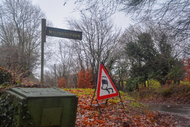
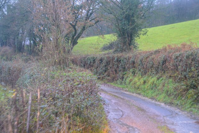
Wadhays Plantation offers several well-maintained walking trails, allowing visitors to immerse themselves in the natural beauty of the area. These trails wind through the forest, leading visitors to discover hidden streams, small ponds, and breathtaking viewpoints.

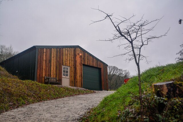
The plantation is managed by the local authorities, who ensure the preservation of the natural environment while also providing amenities for visitors. There are picnic areas and benches strategically placed throughout the woodland, offering visitors a chance to relax and enjoy the peaceful atmosphere.

In addition to its natural beauty, Wadhays Plantation also holds historical significance. It has been part of the local landscape for centuries and has witnessed various events and changes over time. The plantation provides a glimpse into the history and heritage of the region, making it an intriguing destination for those interested in the past.

Overall, Wadhays Plantation in Devon is a haven for nature lovers, offering a serene and idyllic setting to explore the wonders of the natural world.

If you have any feedback on the listing, please let us know in the comments section below.

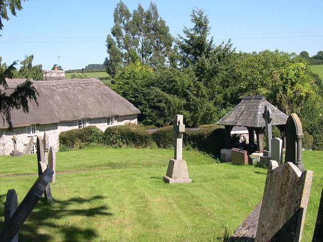
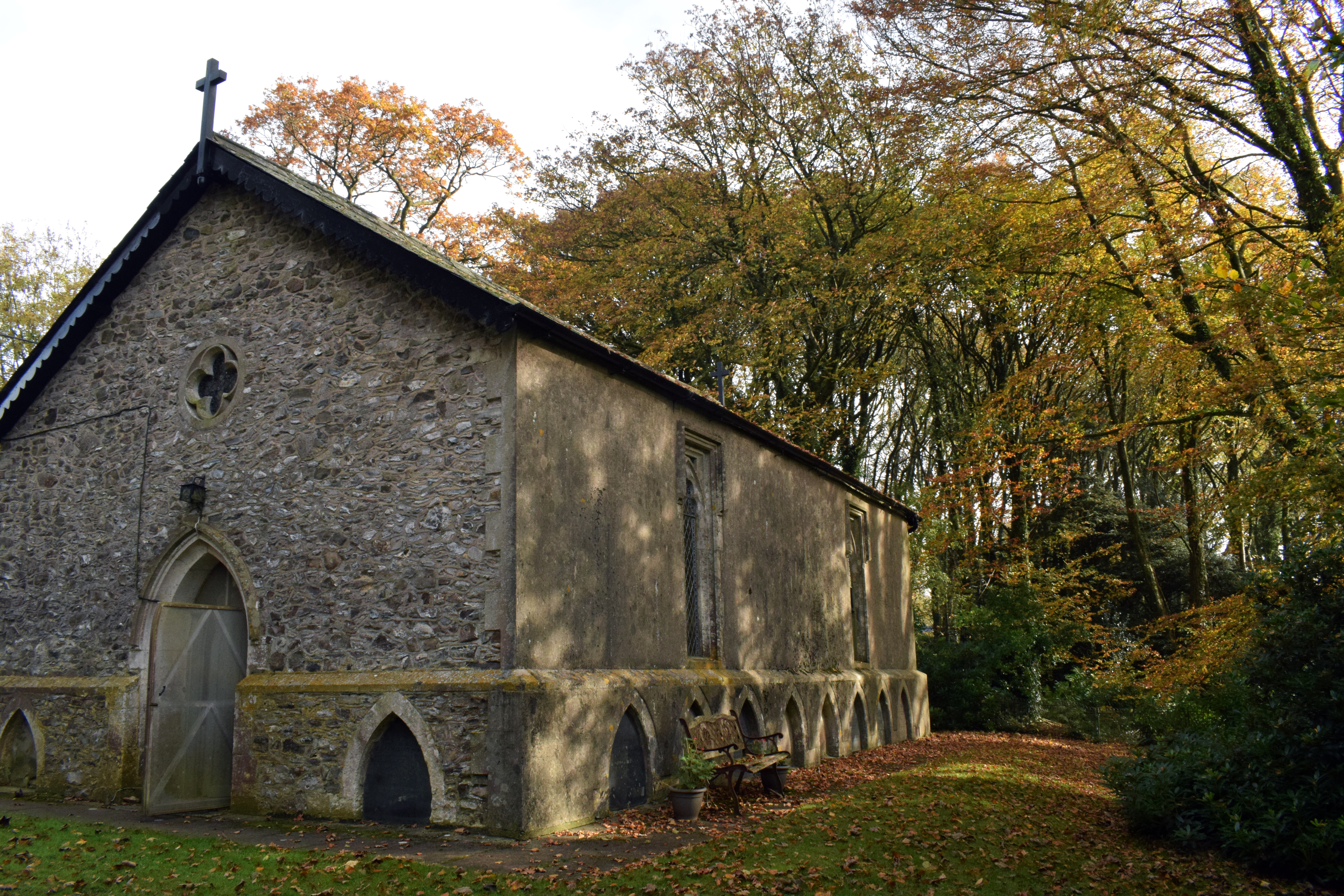
Wadhays Plantation Images

Images are sourced within 2km of 50.82182/-3.2209196 or Grid Reference ST1403. Thanks to Geograph Open Source API. All images are credited.

A stream from Pulshaynes hill A small stream runs past Iveden Copse and emerges into a culvert running parallel to the road.
A stream from Pulshaynes hill
A small stream runs past Iveden Copse and emerges into a culvert running parallel to the road.
Gates to Awliscombe Lodge
Footbridge over the river Wolf The River Wolf feeds into the River Otter.
Footbridge over the river Wolf
The River Wolf feeds into the River Otter.
Awliscombe from Bushy Knap looking towards St Cyres hill in the distance.
Awliscombe from Bushy Knap
looking towards St Cyres hill in the distance.
Combe Raleigh : Field & Gate A field beyond the gate.
Combe Raleigh : Field & Gate
A field beyond the gate.
Combe Raleigh : Road A road seen at the junction from Windgate Farm.
Combe Raleigh : Road
A road seen at the junction from Windgate Farm.
Combe Raleigh : Countryside Scenery Looking out across the countryside.
Combe Raleigh : Countryside Scenery
Looking out across the countryside.
Combe Raleigh : Country Lane A small lane.
Combe Raleigh : Country Lane
A small lane.
Combe Raleigh : Country Lane A small lane leading to Shapcombe Farm.
Combe Raleigh : Country Lane
A small lane leading to Shapcombe Farm.
Combe Raleigh : Barn A barn building seen off the lane.
Combe Raleigh : Barn
A barn building seen off the lane.
Combe Raleigh : Road A road heads through the countryside.
Combe Raleigh : Road
A road heads through the countryside.
Combe Raleigh : Road A road heads through the countryside.
Combe Raleigh : Road
A road heads through the countryside.
On the A373 heading east, sign for A. R. Boland Ltd
Houses next to the A373 near Awliscombe
Nap View joins the A373 in Awliscombe
Land Rover Experience sign and houses on the east side of Awliscombe, on the A373
Combe Raleigh churchyard Also showing a thatched cottage adjacent to the churchyard.
Combe Raleigh churchyard
Also showing a thatched cottage adjacent to the churchyard.
Awliscombe: south to Honiton The western end of the town seen from the road that climbs St Cyres’ Hill
Awliscombe: south to Honiton
The western end of the town seen from the road that climbs St Cyres’ Hill
Show me another place!

Wadhays Plantation is located at Grid Ref: ST1403 (Lat: 50.82182, Lng: -3.2209196)

Administrative County: Devon

District: East Devon

Police Authority: Devon and Cornwall

What 3 Words

///delighted.surnames.trickle. Near Honiton, Devon

Related Wikis

Awliscombe

Awliscombe is a village and civil parish in the East Devon district of Devon, England. The village is about two miles west of Honiton. The 2011 census...

Combe Raleigh

Combe Raleigh () is a village and civil parish in the county of Devon, England. The village lies about 1.5 miles north of the town of Honiton, and the...

Wolford Chapel

Wolford Chapel in Devon, England, is the burial place of John Graves Simcoe, the first lieutenant governor of Upper Canada. It is the territory of the...

Hembury

Hembury is a Neolithic causewayed enclosure and Iron Age hillfort near Honiton in Devon. Its history stretches from the late fifth and early fourth millennia...

Nearby Amenities

Located within 500m of 50.82182,-3.2209196
Power: pole
Source: bing
Lat/Long: 50.8208883/-3.2140119
Power: pole
Source: bing
Lat/Long: 50.8207384/-3.214661
Power: pole
Source: bing
Lat/Long: 50.8205342/-3.2155716
Power: pole
Source: bing
Lat/Long: 50.8195997/-3.2161443
Power: pole
Source: bing
Lat/Long: 50.8205113/-3.2170871
Power: pole
Source: bing
Lat/Long: 50.8209324/-3.2175498
Power: pole
Source: bing
Lat/Long: 50.8214712/-3.2180983
Power: pole
Source: bing
Lat/Long: 50.8223854/-3.2190692
Power: pole
Source: bing
Lat/Long: 50.8232953/-3.2200295
Power: pole
Source: bing
Lat/Long: 50.8243492/-3.2202199
Power: pole
Source: bing
Transformer: distribution
Lat/Long: 50.8223032/-3.2269885
Power: pole
Source: bing
Lat/Long: 50.822853/-3.2271601
Power: pole
Source: bing
Lat/Long: 50.823552/-3.2269563
Power: pole
Source: bing
Lat/Long: 50.8240366/-3.2268155
Power: pole
Source: bing
Lat/Long: 50.8253624/-3.2203956
The data included in this document is from www.openstreetmap.org. The data is made available under ODbL.

Have you been to Wadhays Plantation?

Leave your review of Wadhays Plantation below (or comments, questions and feedback).