Hutchingshayes Plantation
Wood, Forest in Devon East Devon
England
Hutchingshayes Plantation
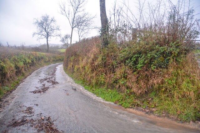
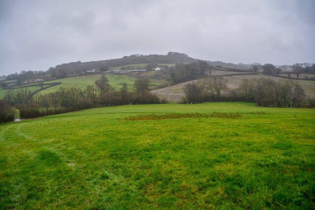
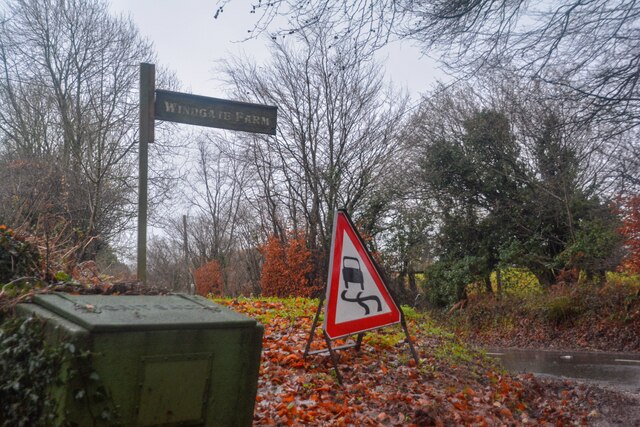
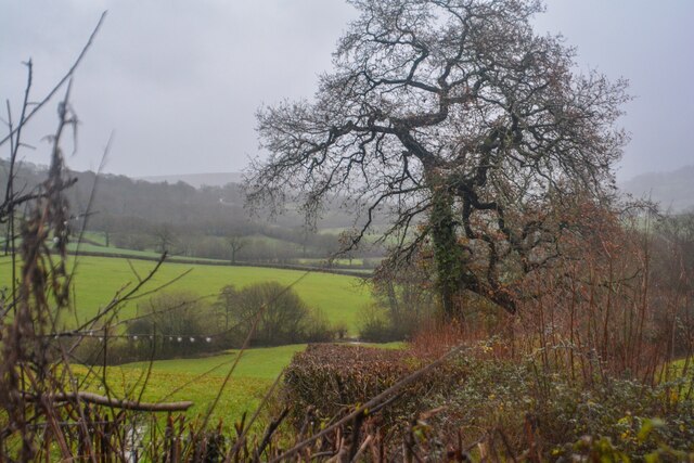
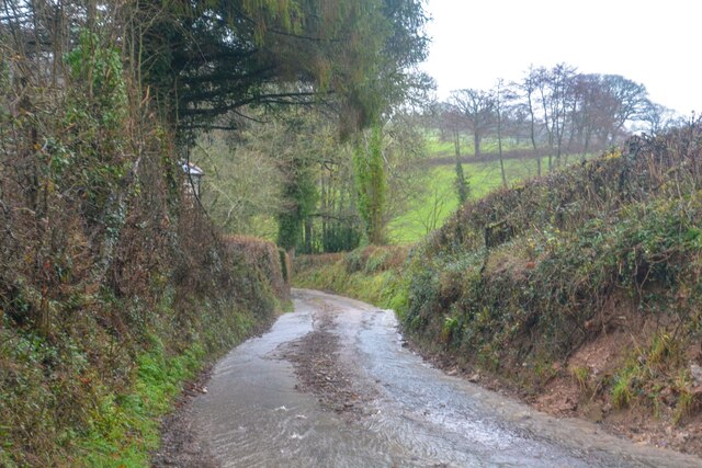
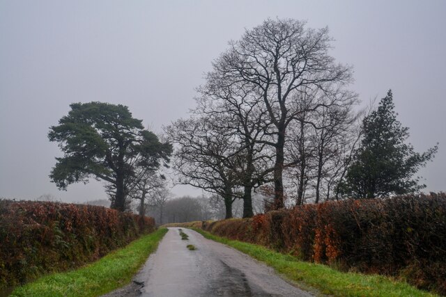
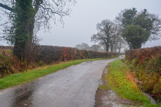
Hutchingshayes Plantation is a picturesque woodland located in Devon, England. Spread across a sprawling area, the plantation is known for its stunning natural beauty and rich biodiversity. It is situated near the town of Woodbury and is easily accessible to visitors.
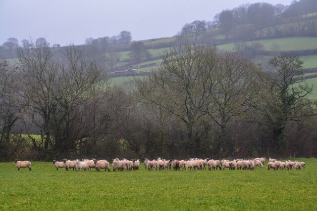
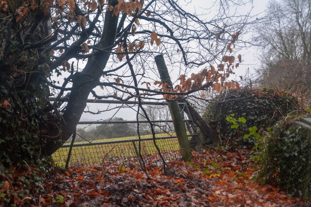
The woodland consists of a diverse range of trees, including oak, beech, pine, and birch. These trees create a dense canopy, providing a habitat for various species of birds, mammals, and insects. Hutchingshayes Plantation is renowned for its wildlife, making it a popular destination for nature enthusiasts and birdwatchers.
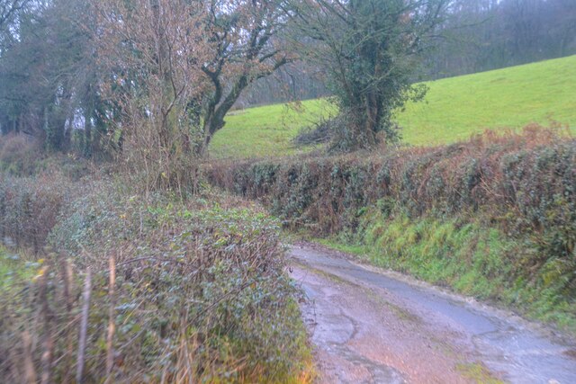
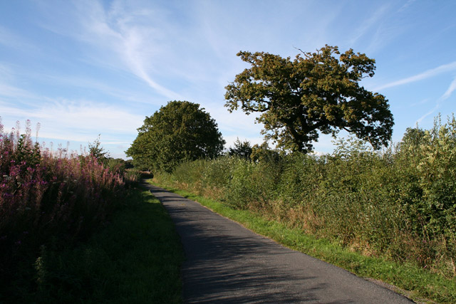
The plantation offers a network of well-maintained trails, allowing visitors to explore the area at their own pace. Walking through the woodland, one can witness the changing colors of the seasons and the vibrant flora and fauna. The trails are suitable for all ages and provide a tranquil and peaceful environment to unwind and connect with nature.
Hutchingshayes Plantation is not only a natural haven but also has historical significance. It is believed to have been used for timber production in the past, providing resources for the local community. Today, it stands as a symbol of the region's natural heritage and is carefully managed to preserve its ecological value.
Visiting Hutchingshayes Plantation offers a chance to escape the hustle and bustle of city life and immerse oneself in the beauty of nature. Whether it's a leisurely stroll, birdwatching, or simply enjoying a picnic amidst the trees, this woodland sanctuary in Devon provides an enchanting experience for all who visit.
If you have any feedback on the listing, please let us know in the comments section below.
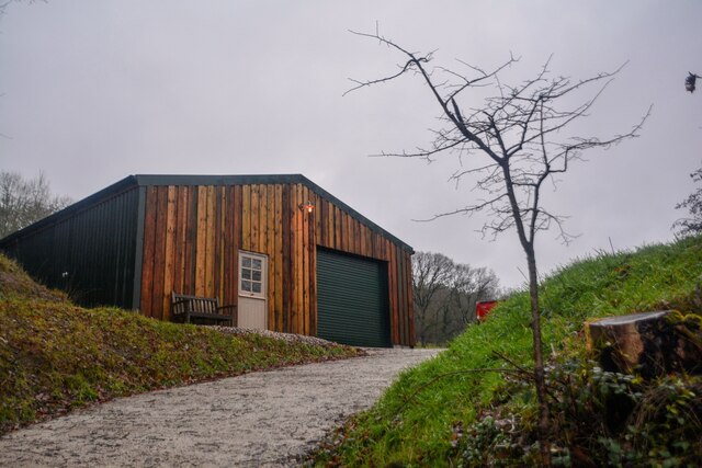
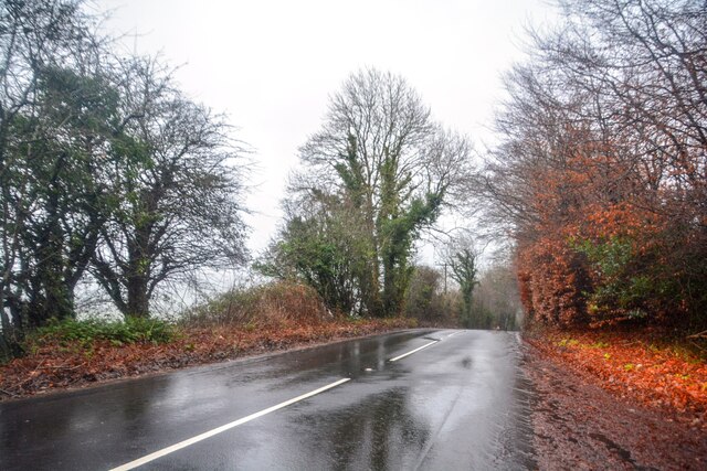
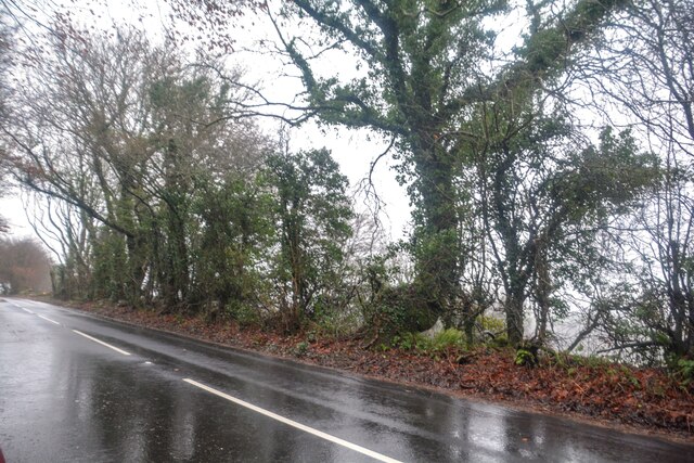
Hutchingshayes Plantation Images
Images are sourced within 2km of 50.826705/-3.212102 or Grid Reference ST1403. Thanks to Geograph Open Source API. All images are credited.


Hutchingshayes Plantation is located at Grid Ref: ST1403 (Lat: 50.826705, Lng: -3.212102)
Administrative County: Devon
District: East Devon
Police Authority: Devon and Cornwall
What 3 Words
///fairy.approvals.open. Near Honiton, Devon
Related Wikis

Combe Raleigh
Combe Raleigh () is a village and civil parish in the county of Devon, England. The village lies about 1.5 miles north of the town of Honiton, and the...
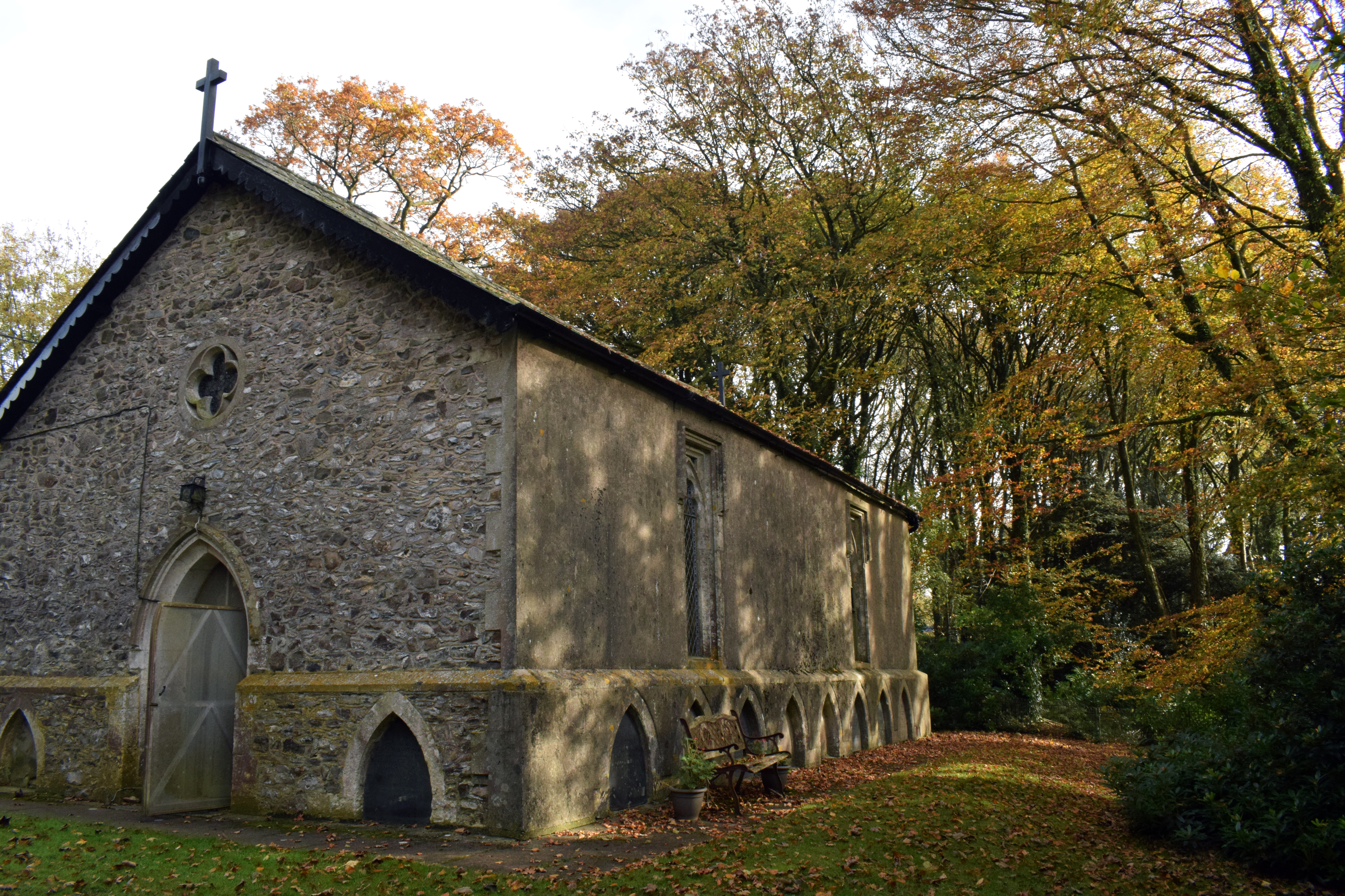
Wolford Chapel
Wolford Chapel in Devon, England, is the burial place of John Graves Simcoe, the first lieutenant governor of Upper Canada. It is the territory of the...

Awliscombe
Awliscombe is a village and civil parish in the East Devon district of Devon, England. The village is about two miles west of Honiton. The 2011 census...
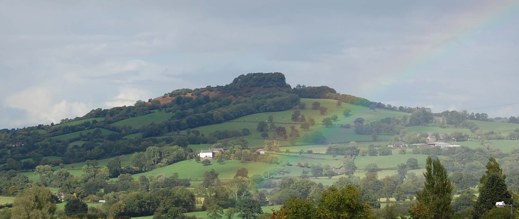
Dumpdon Hill
Dumpdon Hill is an Iron Age Hill Fort near Honiton in Devon. Somewhat overshadowed by its better known neighbour Hembury Fort it is nonetheless as impressive...

Honiton Community College
Honiton Community College is a comprehensive academy school located in Honiton, Devon, England. It was originally established as Honiton Secondary School...

Honiton Town F.C.
Honiton Town Football Club is a football club based in Honiton, Devon, England. They are currently members of the South West Peninsula League Premier Division...
Honiton
Honiton () is a market town and civil parish in East Devon, situated close to the River Otter, 17 miles (27 km) north east of Exeter in the county of Devon...

Hembury
Hembury is a Neolithic causewayed enclosure and Iron Age hillfort near Honiton in Devon. Its history stretches from the late fifth and early fourth millennia...
Nearby Amenities
Located within 500m of 50.826705,-3.212102Have you been to Hutchingshayes Plantation?
Leave your review of Hutchingshayes Plantation below (or comments, questions and feedback).