Allerbeare Copse
Wood, Forest in Devon East Devon
England
Allerbeare Copse
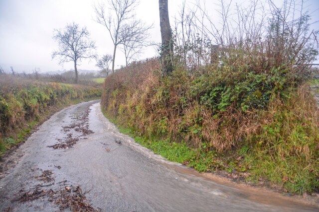
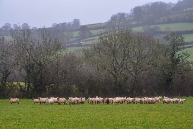
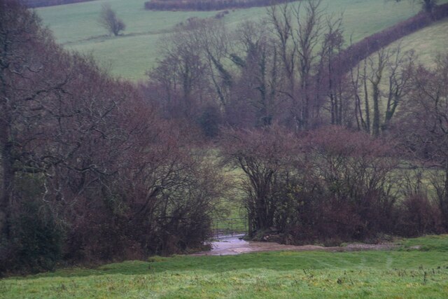
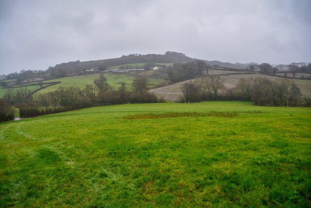
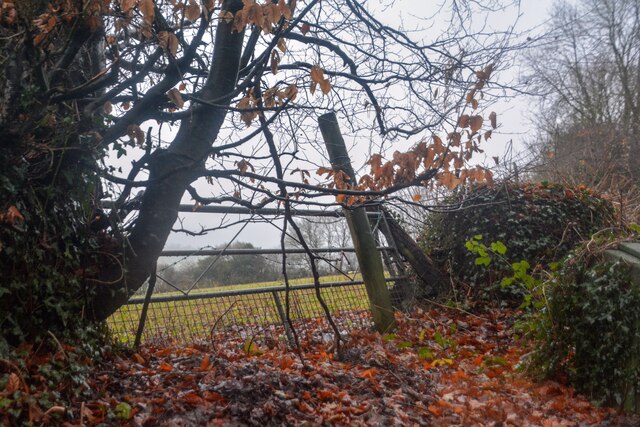
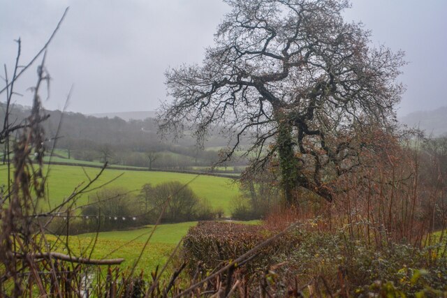
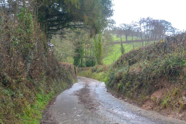
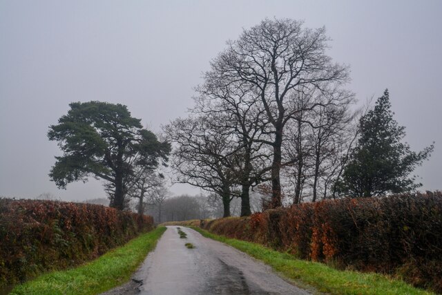
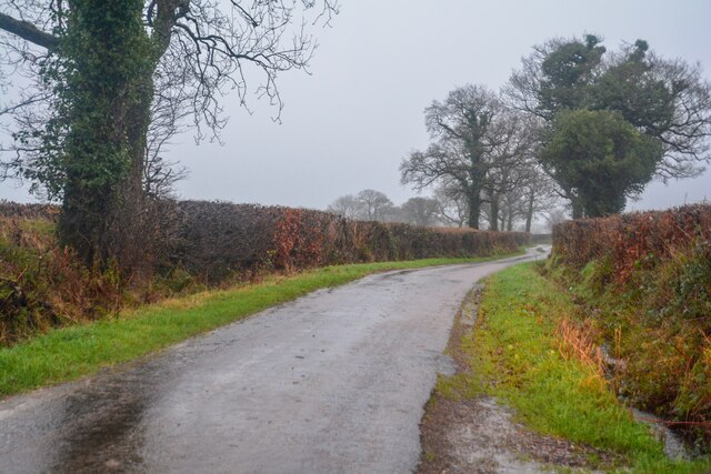
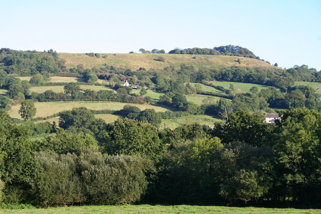
Allerbeare Copse, located in Devon, England, is a captivating woodland area that offers visitors a serene and natural retreat. Covering approximately 15 hectares, this enchanting copse is nestled in the picturesque countryside, providing a haven for both wildlife and nature enthusiasts.
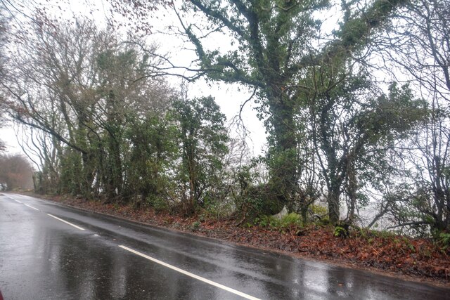
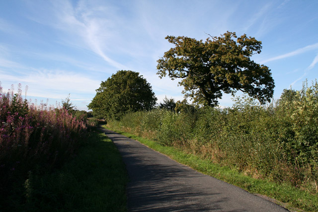
The copse is predominantly composed of native broadleaf trees, such as oak, beech, and ash, creating a diverse and vibrant woodland ecosystem. The dense canopy of leaves allows only dappled sunlight to filter through, resulting in a cool and shaded environment. The forest floor is adorned with a rich carpet of mosses, ferns, and wildflowers, adding to the copse's ethereal charm.
Allerbeare Copse is home to a plethora of wildlife species, making it a prime spot for nature lovers. Birdwatchers can catch sight of various feathered inhabitants, including woodpeckers, thrushes, and owls. The copse also serves as a habitat for small mammals, such as badgers, foxes, and deer, who roam freely throughout the woodland.
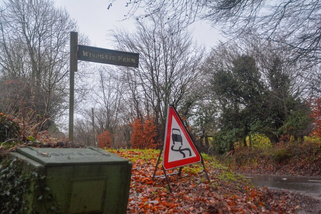
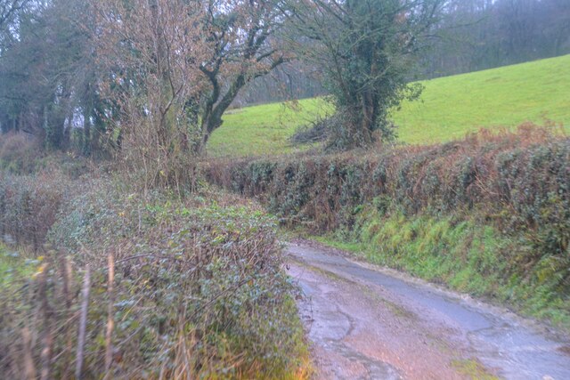
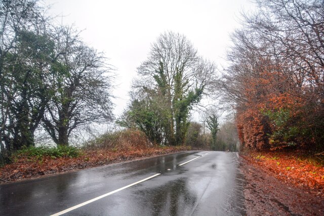
Visitors to Allerbeare Copse can explore the copse's network of trails, allowing them to immerse themselves in its natural beauty. The tranquility of the surroundings provides an ideal setting for leisurely walks, picnics, or simply taking in the peaceful ambiance.
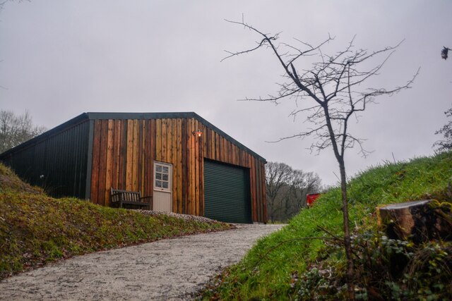
Managed by local conservation organizations, Allerbeare Copse is a testament to the importance of preserving and protecting natural habitats. The copse offers a unique opportunity for individuals to reconnect with nature and experience the wonders of a truly captivating woodland environment.
If you have any feedback on the listing, please let us know in the comments section below.
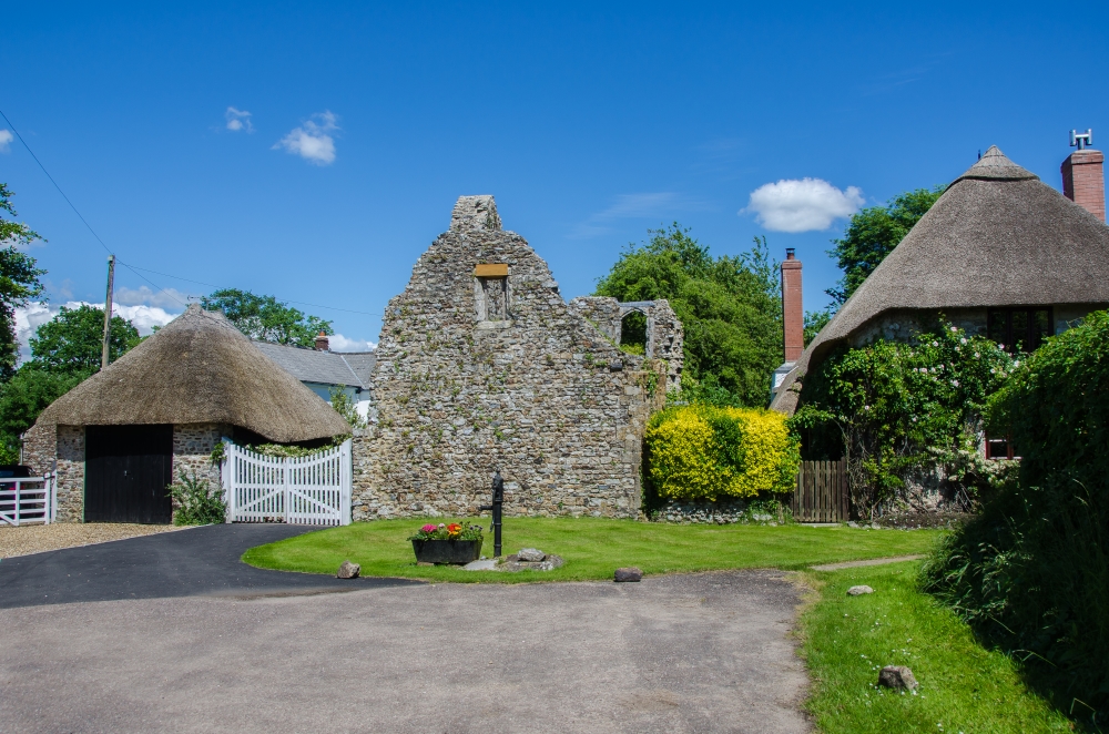
Allerbeare Copse Images
Images are sourced within 2km of 50.832199/-3.2122443 or Grid Reference ST1404. Thanks to Geograph Open Source API. All images are credited.


Allerbeare Copse is located at Grid Ref: ST1404 (Lat: 50.832199, Lng: -3.2122443)
Administrative County: Devon
District: East Devon
Police Authority: Devon and Cornwall
What 3 Words
///plump.drips.vitals. Near Dunkeswell, Devon
Nearby Locations
Related Wikis
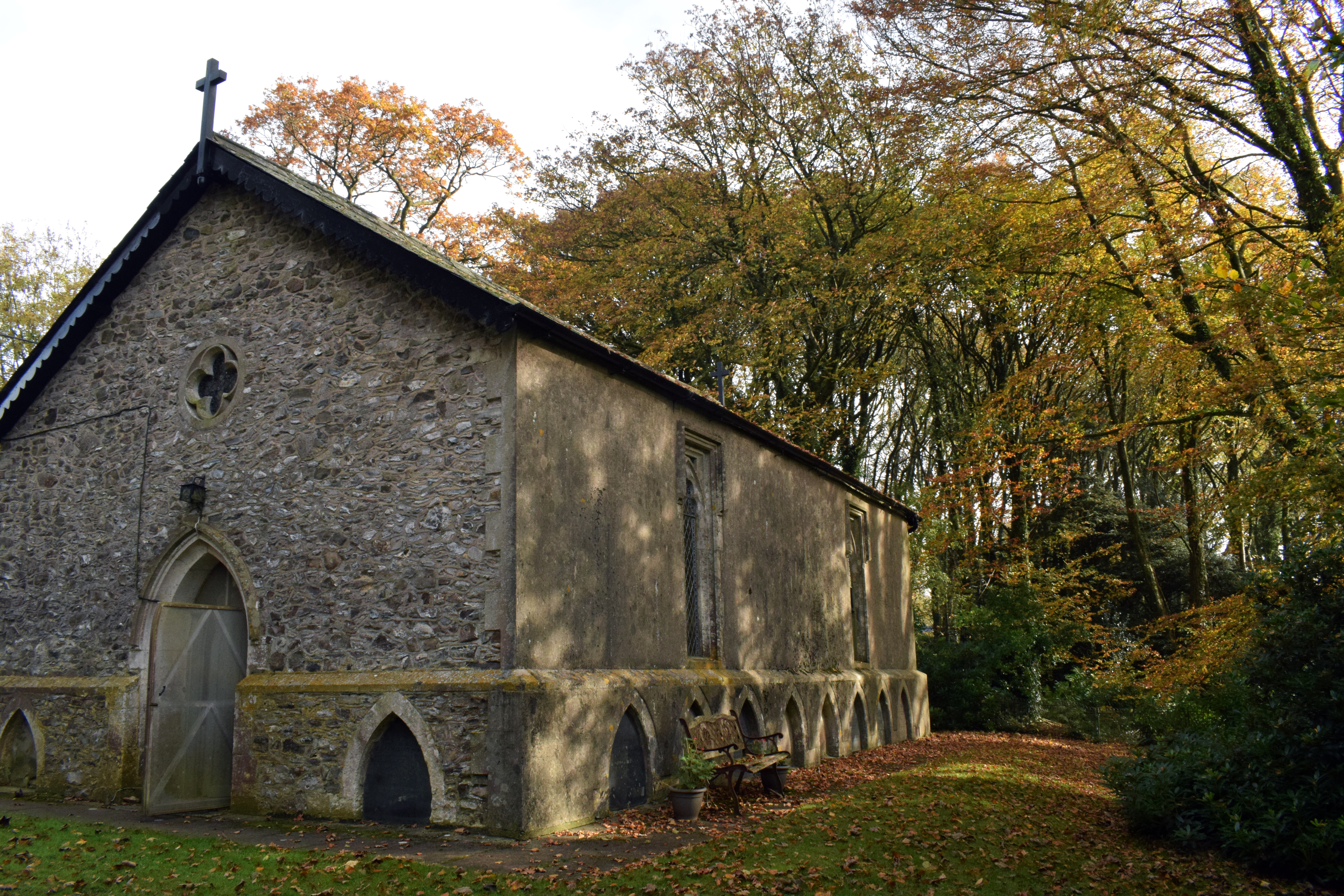
Wolford Chapel
Wolford Chapel in Devon, England, is the burial place of John Graves Simcoe, the first lieutenant governor of Upper Canada. It is the territory of the...

Awliscombe
Awliscombe is a village and civil parish in the East Devon district of Devon, England. The village is about two miles west of Honiton. The 2011 census...

Combe Raleigh
Combe Raleigh () is a village and civil parish in the county of Devon, England. The village lies about 1.5 miles north of the town of Honiton, and the...
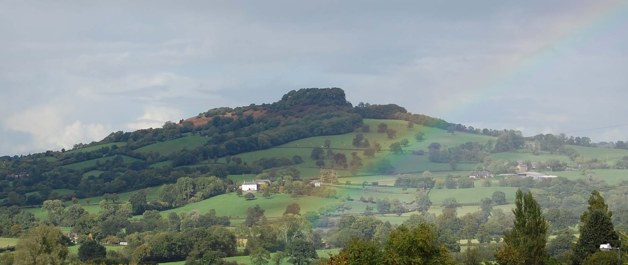
Dumpdon Hill
Dumpdon Hill is an Iron Age Hill Fort near Honiton in Devon. Somewhat overshadowed by its better known neighbour Hembury Fort it is nonetheless as impressive...

Luppitt
Luppitt is a village and civil parish in East Devon situated about 6 kilometres (4 mi) due north of Honiton. The historian William Harris was preacher...
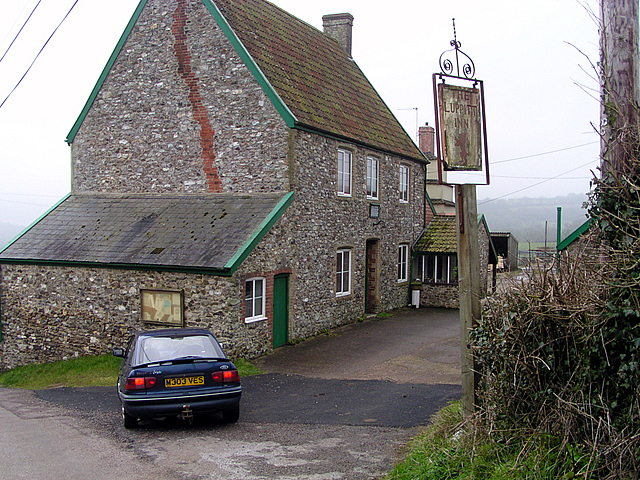
Luppitt Inn
The Luppitt Inn is the only public house at Luppitt, Devon. Located in the front rooms of a farmhouse, the building is constructed from stone, rendered...
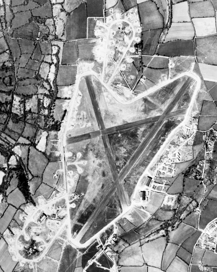
Dunkeswell Aerodrome
Dunkeswell Aerodrome (ICAO: EGTU) is an airfield in East Devon, England. It is located approximately 5 mi (8.0 km) north of the town of Honiton and 14...
Dunkeswell
Dunkeswell is a village and civil parish in East Devon, England, located about 5 miles (8.0 km) north of the town of Honiton. At the 2001 census, the...
Nearby Amenities
Located within 500m of 50.832199,-3.2122443Have you been to Allerbeare Copse?
Leave your review of Allerbeare Copse below (or comments, questions and feedback).