Mountain Copse

Wood, Forest in Devon East Devon

England

Mountain Copse

Combe Raleigh : Field & Gate A field beyond the gate.
Combe Raleigh : Field & Gate Credit: Lewis Clarke

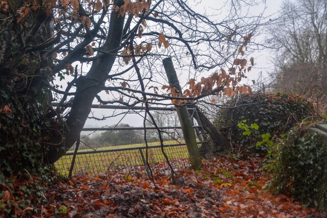
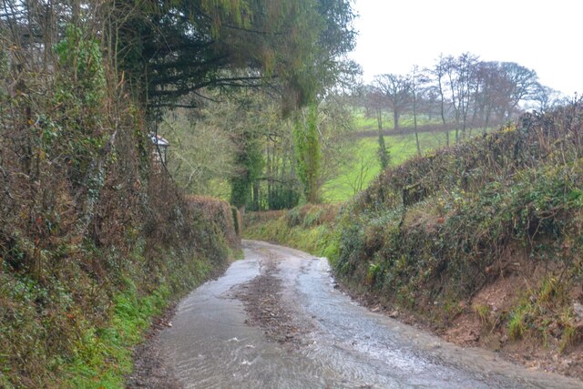
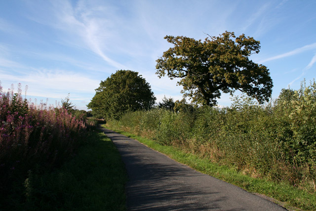
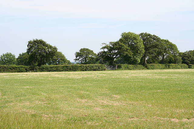
Mountain Copse is a picturesque woodland located in the county of Devon, England. Situated in the southwestern part of the country, this beautiful forest covers an area of approximately 500 acres. With its dense vegetation and towering trees, Mountain Copse is a haven for nature enthusiasts and a popular destination for hikers, birdwatchers, and photographers.

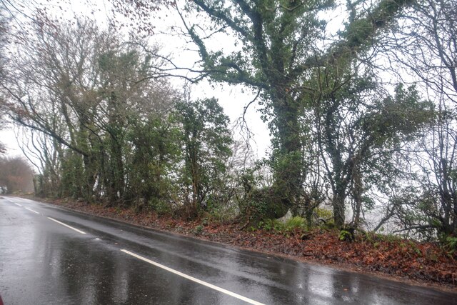
The woodland is characterized by its diverse range of tree species, including oak, beech, birch, and pine. These majestic trees form a dense canopy that provides shade and shelter for a variety of wildlife. Visitors to Mountain Copse can expect to encounter a plethora of fauna, such as deer, rabbits, squirrels, and a wide array of bird species, including woodpeckers and owls.

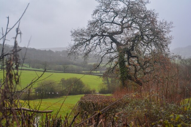
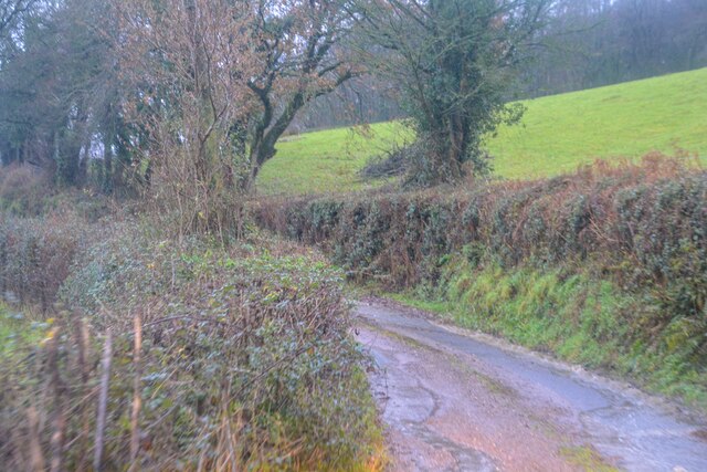
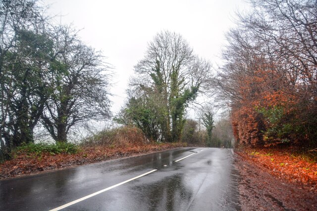
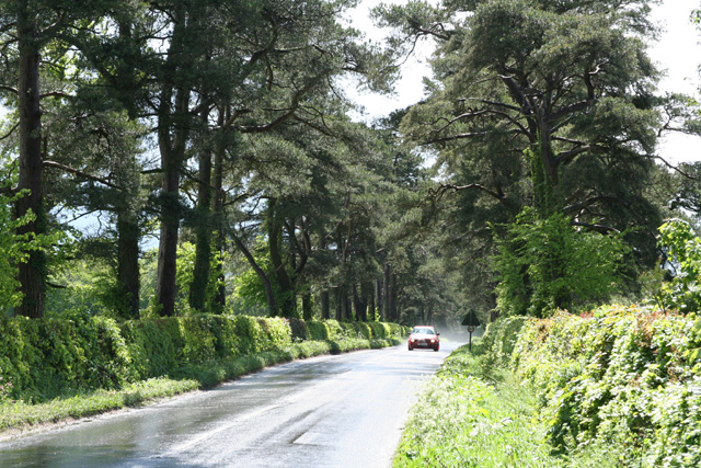
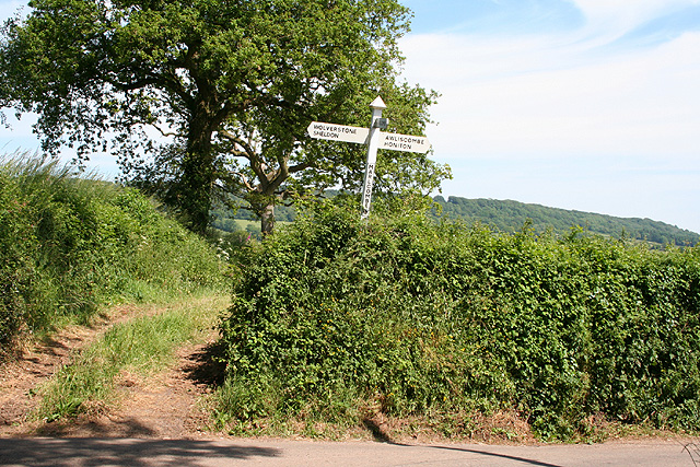
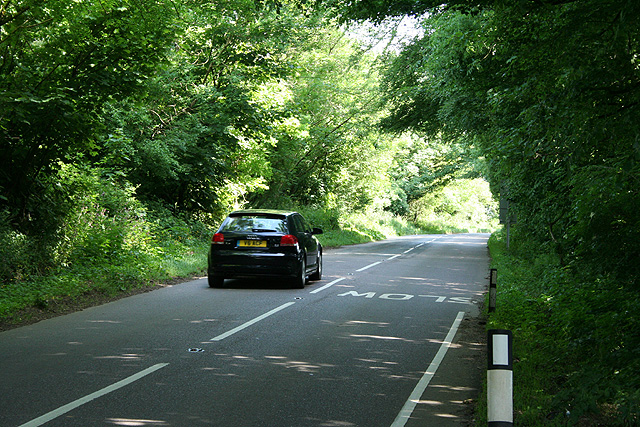
The forest is crisscrossed by a network of well-maintained trails, allowing visitors to explore its natural beauty and enjoy the tranquility of the surroundings. One of the highlights of Mountain Copse is the stunning panoramic views it offers from its higher elevations, showcasing the rolling hills and valleys of the Devon countryside.

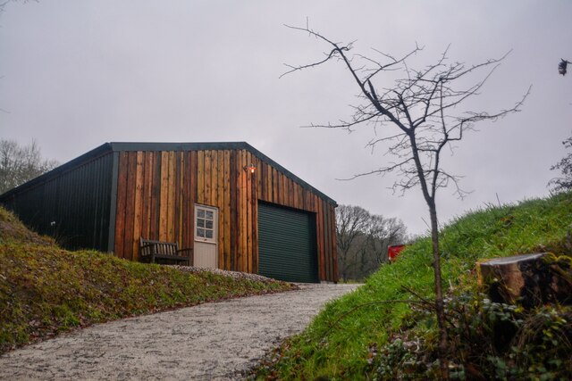
For those seeking a peaceful retreat, Mountain Copse provides several picnic areas and benches where visitors can relax and soak in the serene atmosphere. Additionally, the forest is home to a small visitor center, which provides information about the local flora and fauna, as well as the history and conservation efforts of the woodland.

In conclusion, Mountain Copse in Devon is a remarkable woodland that offers an immersive experience in nature. With its diverse range of trees, abundant wildlife, and breathtaking views, it is a true gem for both locals and tourists alike.

If you have any feedback on the listing, please let us know in the comments section below.

Mountain Copse Images

Images are sourced within 2km of 50.827771/-3.2220546 or Grid Reference ST1403. Thanks to Geograph Open Source API. All images are credited.

Combe Raleigh : Field & Gate A field beyond the gate.
Combe Raleigh : Field & Gate
A field beyond the gate.
Combe Raleigh : Road A road seen at the junction from Windgate Farm.
Combe Raleigh : Road
A road seen at the junction from Windgate Farm.
Combe Raleigh : Countryside Scenery Looking out across the countryside.
Combe Raleigh : Countryside Scenery
Looking out across the countryside.
Combe Raleigh : Country Lane A small lane.
Combe Raleigh : Country Lane
A small lane.
Combe Raleigh : Country Lane A small lane leading to Shapcombe Farm.
Combe Raleigh : Country Lane
A small lane leading to Shapcombe Farm.
Combe Raleigh : Barn A barn building seen off the lane.
Combe Raleigh : Barn
A barn building seen off the lane.
Combe Raleigh : Road A road heads through the countryside.
Combe Raleigh : Road
A road heads through the countryside.
Combe Raleigh : Road A road heads through the countryside.
Combe Raleigh : Road
A road heads through the countryside.
Awliscombe: boundary with Combe Raleigh Looking north along the lane on the hill that separates the two parishes. Rose bay willow herb, known by some as fireweed, still flowers in the bank
Awliscombe: boundary with Combe Raleigh
Looking north along the lane on the hill that separates the two parishes. Rose bay willow herb, known by some as fireweed, still flowers in the bank
Dunkeswell: Limers Lane Looking south-south-east on the road from Dunkeswell to Honiton, near Wolford Cross
Dunkeswell: Limers Lane
Looking south-south-east on the road from Dunkeswell to Honiton, near Wolford Cross
Awliscombe: on St Cyres Hill By the turning to Awliscombe village – Greenway Lane – which descends steeply to the valley of the river Wolf
Awliscombe: on St Cyres Hill
By the turning to Awliscombe village – Greenway Lane – which descends steeply to the valley of the river Wolf
Awliscombe: towards the village Seen from Greenway Lane, looking south west. The church and village nestle below Buckerell Knap. On the right of this view rain obscures the distant hills and will fall in Honiton 15 minutes later
Awliscombe: towards the village
Seen from Greenway Lane, looking south west. The church and village nestle below Buckerell Knap. On the right of this view rain obscures the distant hills and will fall in Honiton 15 minutes later
Awliscombe: Pomhayes Farm Looking north-north-east. The bridleway runs on to Grange Farm and ultimately The Chase and Limers Lane
Awliscombe: Pomhayes Farm
Looking north-north-east. The bridleway runs on to Grange Farm and ultimately The Chase and Limers Lane
Awliscombe: near Pomhayes Farm The Wolf valley, looking north-north-west. Hilly ground hides the settlement at Wolverstone
Awliscombe: near Pomhayes Farm
The Wolf valley, looking north-north-west. Hilly ground hides the settlement at Wolverstone
Awliscombe: Marlcombe Cross A lane from Marlcombe meets the route from Awliscombe to Wolverstone here. Looking east-south-east
Awliscombe: Marlcombe Cross
A lane from Marlcombe meets the route from Awliscombe to Wolverstone here. Looking east-south-east
Awliscombe: Culverhayes A Wolverstone farm. Looking east-north-east
Awliscombe: Culverhayes
A Wolverstone farm. Looking east-north-east
Dunkeswell: Limers Lane Looking south east on the Dunkeswell-Honiton road
Dunkeswell: Limers Lane
Looking south east on the Dunkeswell-Honiton road
Combe Raleigh: field near Hill Farm Looking east
Combe Raleigh: field near Hill Farm
Looking east
Show me another place!

Mountain Copse is located at Grid Ref: ST1403 (Lat: 50.827771, Lng: -3.2220546)

Administrative County: Devon

District: East Devon

Police Authority: Devon and Cornwall

What 3 Words

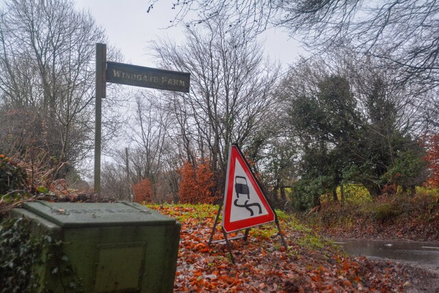
///boast.ruffling.register. Near Dunkeswell, Devon

Related Wikis

Wolford Chapel

Wolford Chapel in Devon, England, is the burial place of John Graves Simcoe, the first lieutenant governor of Upper Canada. It is the territory of the...

Awliscombe

Awliscombe is a village and civil parish in the East Devon district of Devon, England. The village is about two miles west of Honiton. The 2011 census...

Combe Raleigh

Combe Raleigh () is a village and civil parish in the county of Devon, England. The village lies about 1.5 miles north of the town of Honiton, and the...

Hembury

Hembury is a Neolithic causewayed enclosure and Iron Age hillfort near Honiton in Devon. Its history stretches from the late fifth and early fourth millennia...

Nearby Amenities

Located within 500m of 50.827771,-3.2220546
Power: pole
Source: bing
Lat/Long: 50.8243492/-3.2202199
Power: pole
Source: bing
Lat/Long: 50.827038/-3.2159713
Power: pole
Source: bing
Lat/Long: 50.8266916/-3.2173526
Power: pole
Source: bing
Lat/Long: 50.8267542/-3.2279594
Power: pole
Source: bing
Lat/Long: 50.8247634/-3.2266009
Power: pole
Source: bing
Lat/Long: 50.8256767/-3.2263193
Power: pole
Source: bing
Lat/Long: 50.8269084/-3.2248226
Power: pole
Source: bing
Lat/Long: 50.8268522/-3.2259671
Power: pole
Source: bing
Lat/Long: 50.8268059/-3.2268919
Power: pole
Source: bing
Lat/Long: 50.8269847/-3.2233205
Power: pole
Source: bing
Lat/Long: 50.827299/-3.2215235
Power: pole
Source: bing
Lat/Long: 50.8263764/-3.2196137
Power: pole
Source: bing
Lat/Long: 50.8253624/-3.2203956
Power: pole
Source: bing
Lat/Long: 50.8264086/-3.2205807
Power: pole
Source: bing
Lat/Long: 50.8274963/-3.2207738
Power: pole
Source: bing
Lat/Long: 50.8285849/-3.2209548
Power: pole
Source: bing
Lat/Long: 50.8296183/-3.2211439
Power: pole
Source: bing
Lat/Long: 50.8315208/-3.218978
Power: pole
Source: bing
Lat/Long: 50.8317698/-3.220413
Power: pole
Source: bing
Lat/Long: 50.8306636/-3.2213263
Power: pole
Source: bing
Lat/Long: 50.831669/-3.2215194
The data included in this document is from www.openstreetmap.org. The data is made available under ODbL.

Have you been to Mountain Copse?

Leave your review of Mountain Copse below (or comments, questions and feedback).