Low Coppice
Wood, Forest in Cumberland Copeland
England
Low Coppice
Low Coppice, Cumberland, is a wood located in the county of Cumberland, England. Spread over an area of approximately 100 hectares, it is nestled within the picturesque landscape of the Cumberland region, which is renowned for its natural beauty and rich flora and fauna.
The wood is primarily composed of coppiced trees, which are regularly cut at the base to stimulate new growth. This traditional technique not only ensures a continuous supply of timber but also promotes biodiversity by creating a diverse range of habitats for various wildlife species.
The forest is predominantly populated by deciduous trees, including oak, beech, ash, and birch, which provide a stunning display of colors during autumn. The lush undergrowth is home to a variety of plant species, such as bluebells, wood anemones, and wild garlic, which carpet the forest floor in a vibrant tapestry of colors during spring.
Low Coppice is not only a haven for nature enthusiasts but also a popular destination for recreational activities. It features a network of well-maintained walking trails that wind through the woodland, allowing visitors to explore its beauty at their own pace. The tranquil atmosphere, coupled with the soothing sounds of chirping birds and rustling leaves, offers a serene escape from the hustle and bustle of everyday life.
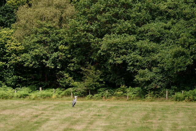
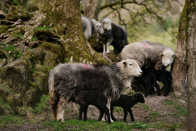
The wood is also home to a diverse range of wildlife, including deer, foxes, badgers, and a plethora of bird species. Birdwatchers can spot woodland birds such as woodpeckers, nuthatches, and treecreepers, among others.
Overall, Low Coppice, Cumberland, is a cherished natural gem that showcases the beauty of the English countryside and offers visitors a tranquil retreat to immerse themselves in nature's wonders.
If you have any feedback on the listing, please let us know in the comments section below.
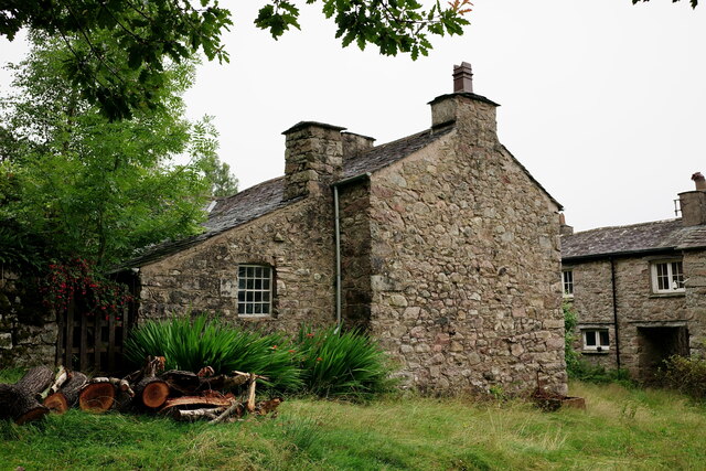
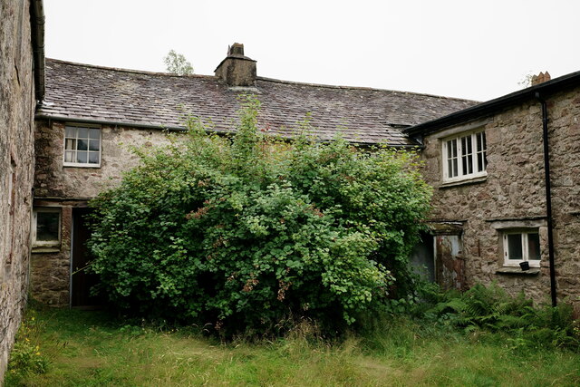
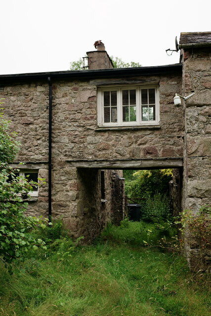
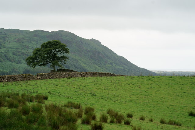
Low Coppice Images
Images are sourced within 2km of 54.386215/-3.3152137 or Grid Reference SD1499. Thanks to Geograph Open Source API. All images are credited.


Low Coppice is located at Grid Ref: SD1499 (Lat: 54.386215, Lng: -3.3152137)
Administrative County: Cumbria
District: Copeland
Police Authority: Cumbria
What 3 Words
///instincts.lifestyle.variously. Near Seascale, Cumbria
Nearby Locations
Related Wikis
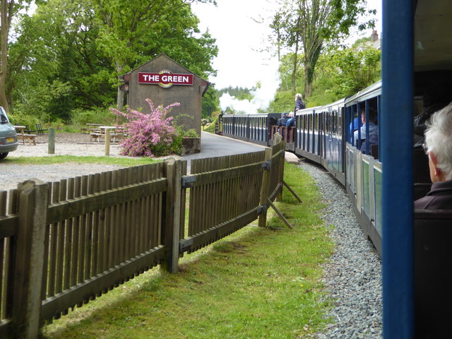
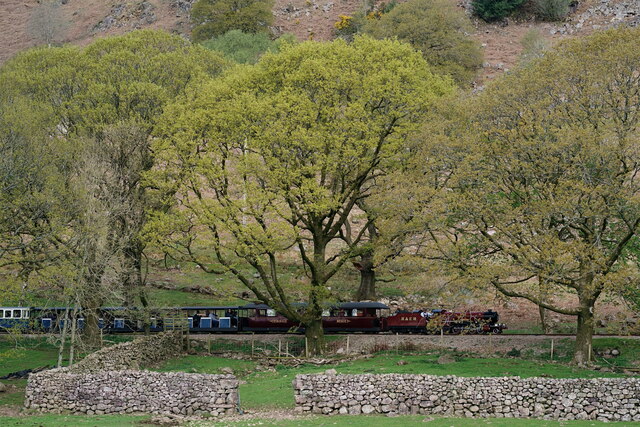
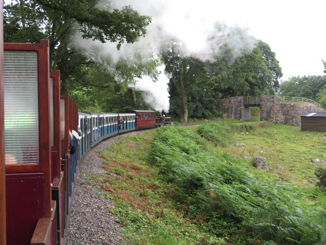
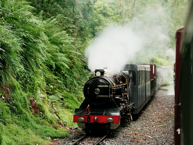
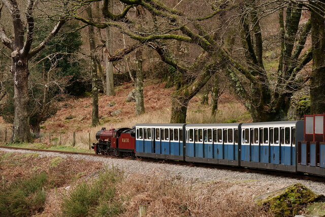
The Green railway station
The Green is a railway station on the 15-inch gauge Ravenglass & Eskdale Railway in the Lake District National Park and the English county of Cumbria....

Gate House, Eskdale Green
Gate House or Gatehouse is a country house in Eskdale Green, Cumbria, England. The house became a Grade II listed building on 8 September 1967.Built in...
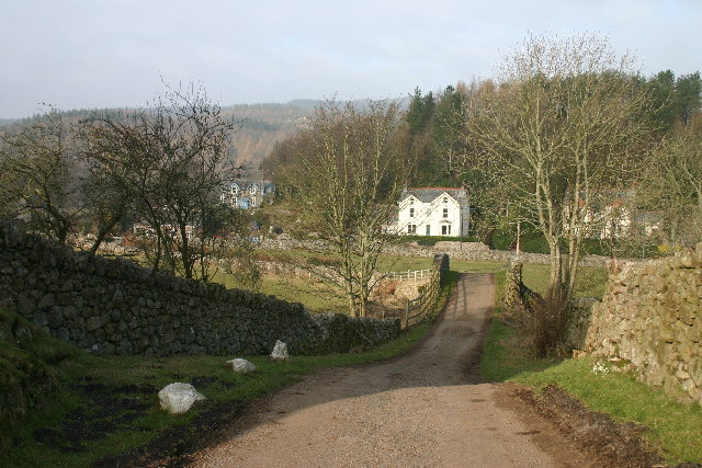
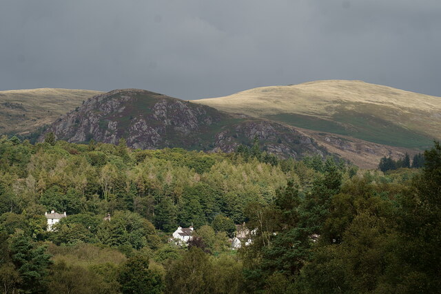
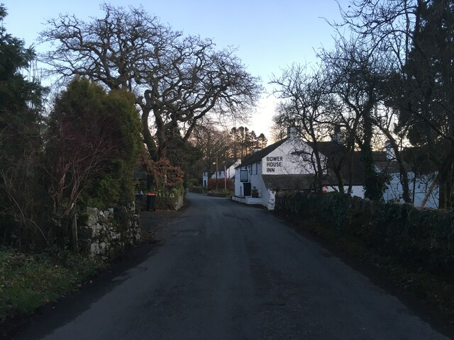
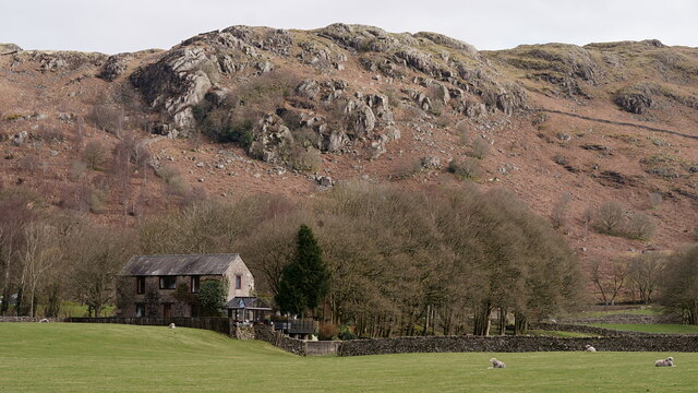
Eskdale Green
Eskdale Green is a village in Cumbria, England, 10 miles west of Coniston. Historically in Cumberland, it lies off the A595 road and is one of the few...
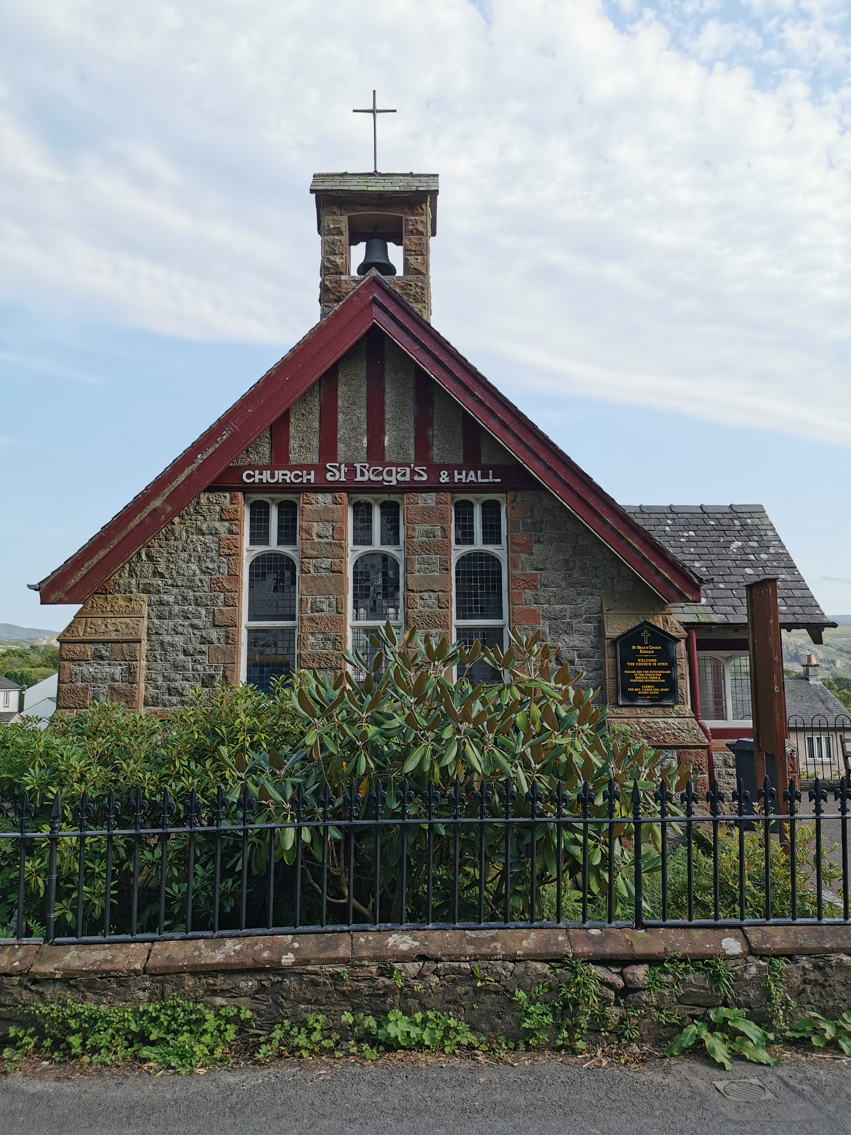
St Bega, Eskdale
St Bega is in Eskdale, Cumbria, England. It is an active Anglican parish church in the deanery of Calder, and the diocese of Carlisle. Its benefice is...
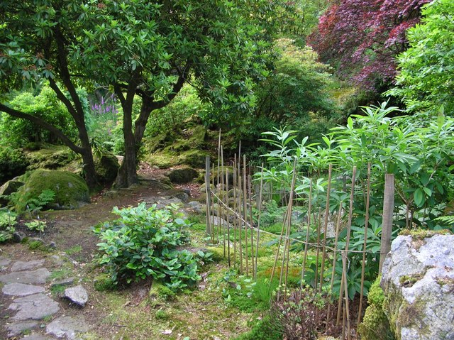
Giggle Alley
Giggle Alley is a woodland in Eskdale Green, Cumbria, England. It was formerly part of the Gate House estate. The wood includes the ruins of a Japanese...

Irton Road railway station
Irton Road railway station is a railway station on the 15 in gauge Ravenglass & Eskdale Railway in the Lake District National Park and the English county...

Fisherground railway station
Fisherground railway station, also known as Fisherground Halt, is on the 15-inch (380 mm) gauge Ravenglass & Eskdale Railway in Cumbria, England. Its main...

Beckfoot railway station
Beckfoot railway station is a railway station on the 15" gauge Ravenglass & Eskdale Railway in Cumbria. It is situated within a 1⁄2 mile (0.80 km) walk...
Nearby Amenities
Located within 500m of 54.386215,-3.3152137Have you been to Low Coppice?
Leave your review of Low Coppice below (or comments, questions and feedback).