High Coppice
Wood, Forest in Cumberland Copeland
England
High Coppice
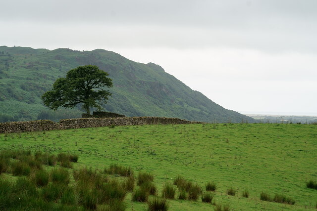
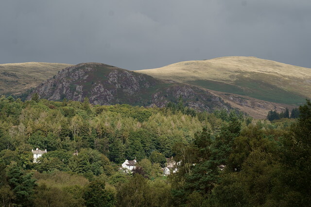
High Coppice is a well-preserved woodland located in the county of Cumberland, England. Spanning over a vast area, it is considered one of the most significant forests in the region. The forest is situated in a picturesque setting, surrounded by rolling hills and serene landscapes, making it a popular destination for nature enthusiasts and tourists alike.
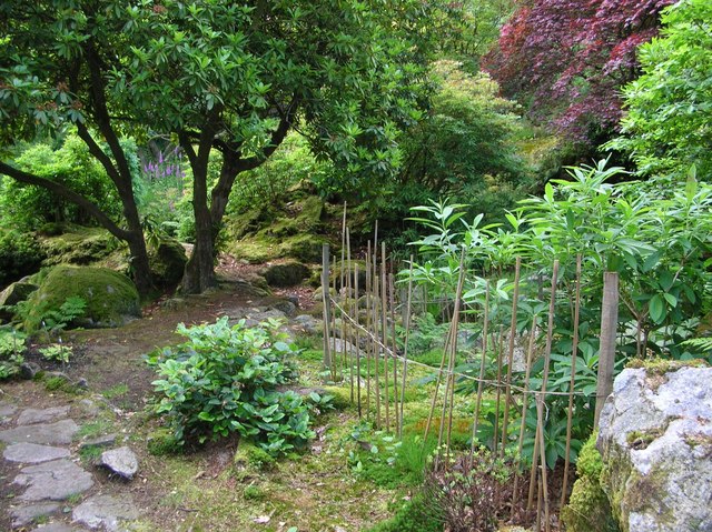
The woodland is primarily composed of indigenous tree species, including oak, ash, birch, and beech. These trees provide a lush canopy that filters sunlight, creating a cool and tranquil atmosphere within the forest. The forest floor is blanketed by a diverse array of flora, such as bluebells, ferns, and mosses, adding to the overall beauty and biodiversity of the area.
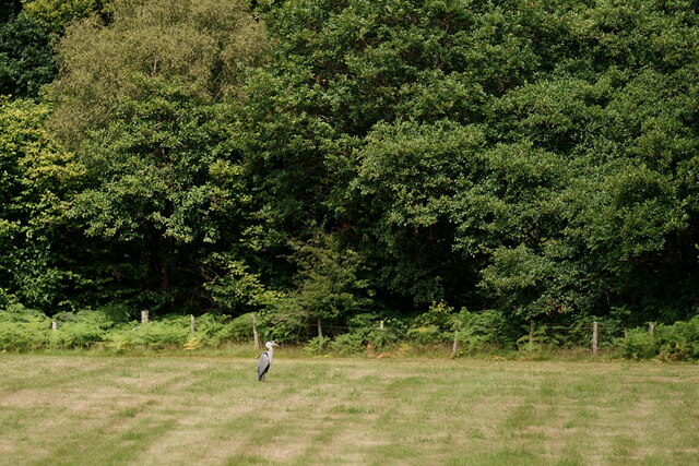
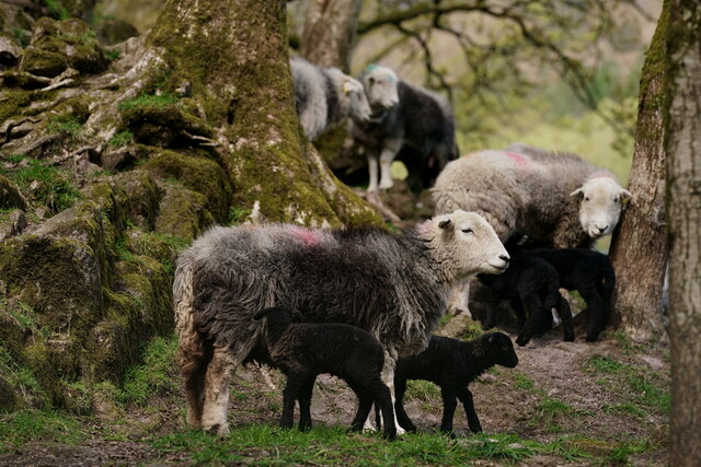
High Coppice is home to a variety of wildlife, including several species of birds, mammals, and insects. Visitors may spot woodland creatures such as red squirrels, deer, and foxes, as well as a plethora of bird species, including woodpeckers and owls. The forest is also a haven for insect life, with butterflies, dragonflies, and beetles among the many species that can be observed.
The woodland offers numerous walking trails and paths, allowing visitors to explore the forest's wonders at their own pace. These trails are well-maintained and provide breathtaking views of the surrounding countryside. High Coppice also offers designated picnic areas and camping spots, making it an ideal destination for families and outdoor enthusiasts.
Preservation efforts have been undertaken to protect the unique ecosystem of High Coppice. The forest is managed by local authorities, who ensure that the delicate balance between conservation and public access is maintained. Overall, High Coppice is a treasure trove of natural beauty, offering visitors a chance to immerse themselves in the tranquility and splendor of the Cumberland woodlands.
If you have any feedback on the listing, please let us know in the comments section below.
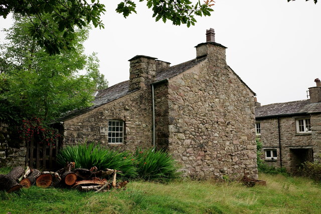
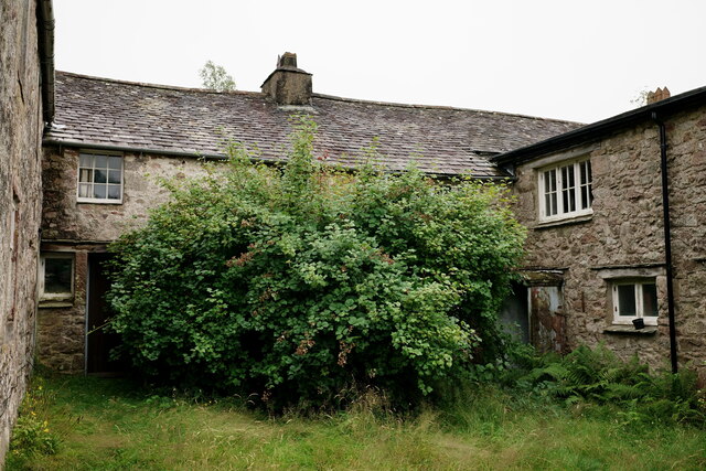
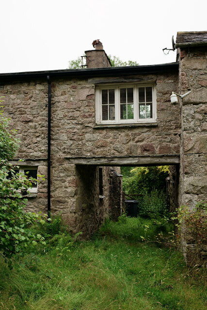
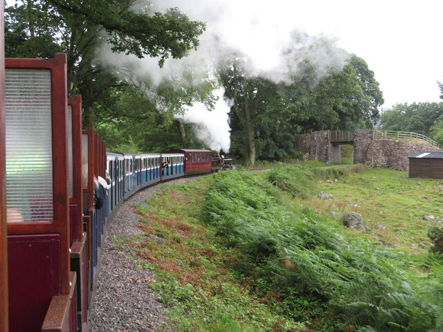
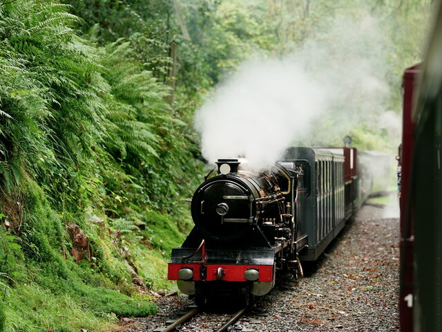
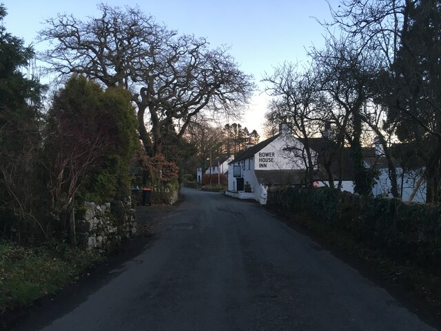
High Coppice Images
Images are sourced within 2km of 54.38732/-3.3144944 or Grid Reference SD1499. Thanks to Geograph Open Source API. All images are credited.


High Coppice is located at Grid Ref: SD1499 (Lat: 54.38732, Lng: -3.3144944)
Administrative County: Cumbria
District: Copeland
Police Authority: Cumbria
What 3 Words
///faded.churn.pairings. Near Seascale, Cumbria
Nearby Locations
Related Wikis
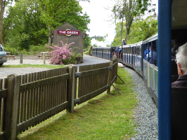
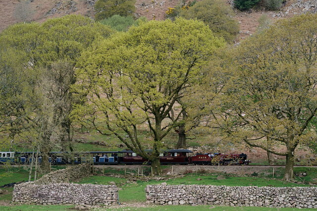
The Green railway station
The Green is a railway station on the 15-inch gauge Ravenglass & Eskdale Railway in the Lake District National Park and the English county of Cumbria....

Gate House, Eskdale Green
Gate House or Gatehouse is a country house in Eskdale Green, Cumbria, England. The house became a Grade II listed building on 8 September 1967.Built in...
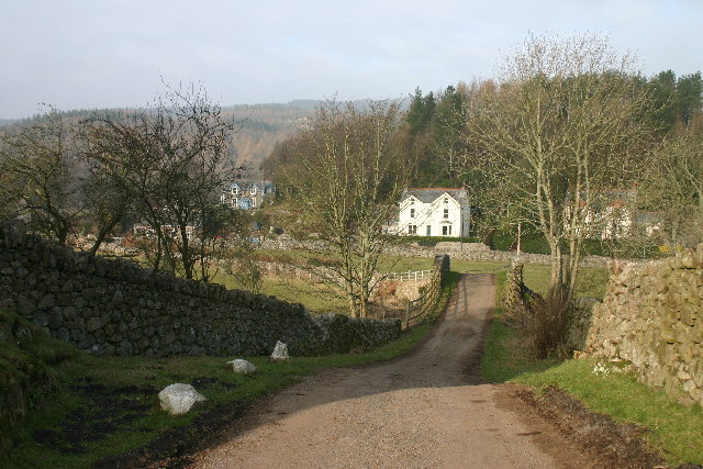
Eskdale Green
Eskdale Green is a village in Cumbria, England, 10 miles west of Coniston. Historically in Cumberland, it lies off the A595 road and is one of the few...
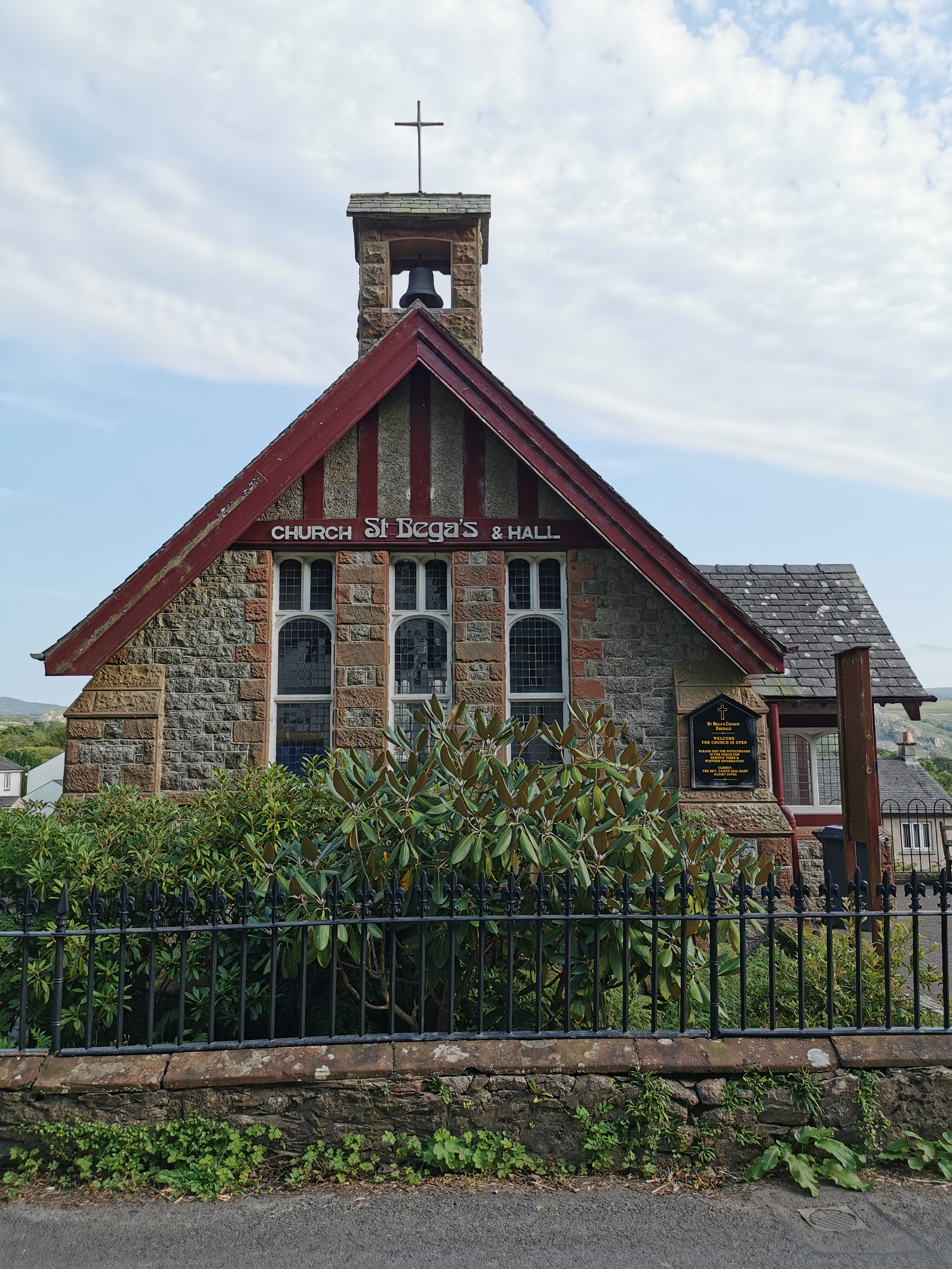
St Bega, Eskdale
St Bega is in Eskdale, Cumbria, England. It is an active Anglican parish church in the deanery of Calder, and the diocese of Carlisle. Its benefice is...
Giggle Alley
Giggle Alley is a woodland in Eskdale Green, Cumbria, England. It was formerly part of the Gate House estate. The wood includes the ruins of a Japanese...

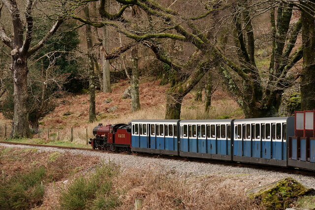
Fisherground railway station
Fisherground railway station, also known as Fisherground Halt, is on the 15-inch (380 mm) gauge Ravenglass & Eskdale Railway in Cumbria, England. Its main...

Irton Road railway station
Irton Road railway station is a railway station on the 15 in gauge Ravenglass & Eskdale Railway in the Lake District National Park and the English county...

Beckfoot railway station
Beckfoot railway station is a railway station on the 15" gauge Ravenglass & Eskdale Railway in Cumbria. It is situated within a 1⁄2 mile (0.80 km) walk...
Nearby Amenities
Located within 500m of 54.38732,-3.3144944Have you been to High Coppice?
Leave your review of High Coppice below (or comments, questions and feedback).