Forge Wood

Wood, Forest in Cumberland Copeland

England

Forge Wood

'River Irt' Passing the site of a disused quarry, just down the line from Beckfoot.
'River Irt' Credit: Peter Trimming

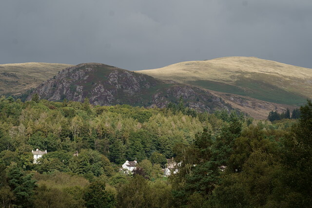
Forge Wood is a picturesque woodland located in the Cumberland region of England. Covering an area of approximately 200 acres, it is known for its dense forest, abundant wildlife, and tranquil atmosphere. The wood is situated near the small village of Cumberland, making it easily accessible to both locals and visitors.

The woodland consists primarily of deciduous trees, such as oak, beech, and birch, which create a stunning display of vibrant colors during the autumn season. Walking through the wood, one can admire the towering trees, providing a sense of peace and tranquility. The forest floor is covered in a thick carpet of fallen leaves, creating a rustling sound as visitors wander through the paths.

Forge Wood is home to a rich variety of wildlife. Numerous bird species can be spotted among the treetops, including woodpeckers, owls, and various songbirds. Squirrels can be seen scurrying up and down tree trunks, while rabbits and deer occasionally make appearances in the early morning or late evening. The wood also supports a diverse range of insects, contributing to the overall biodiversity of the area.

For outdoor enthusiasts, Forge Wood offers several walking trails, allowing visitors to immerse themselves in the natural beauty of the surroundings. The paths are well-maintained and provide opportunities for leisurely strolls or more challenging hikes. With its idyllic setting, Forge Wood is a popular destination for nature lovers, photographers, and those seeking a peaceful retreat in the heart of the Cumberland countryside.

If you have any feedback on the listing, please let us know in the comments section below.
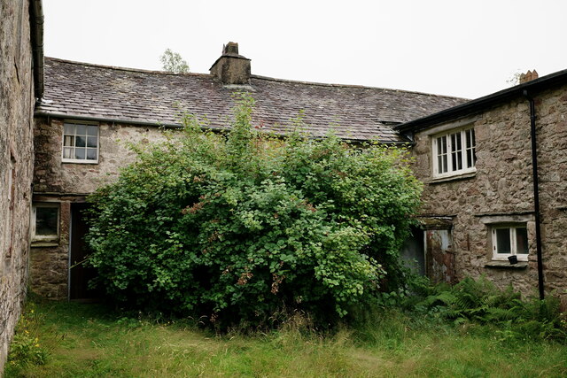
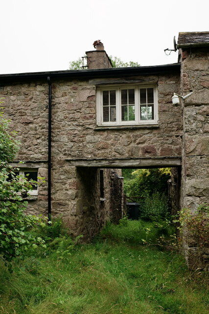
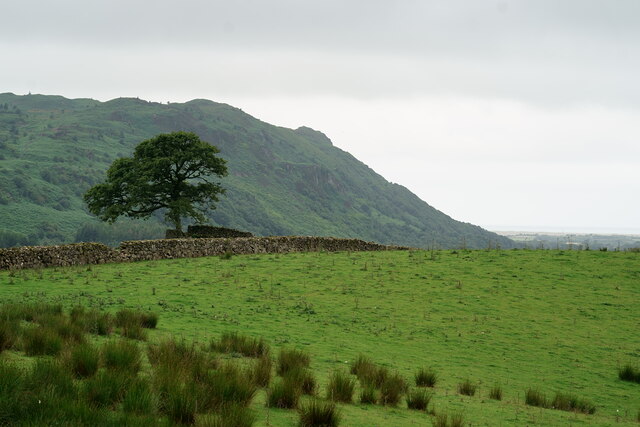
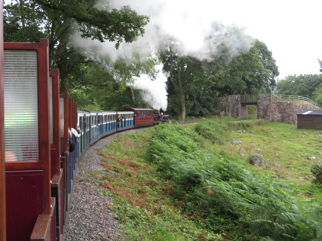
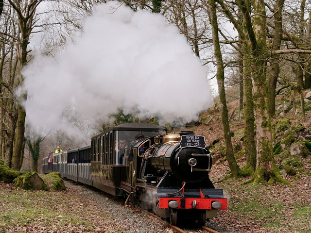
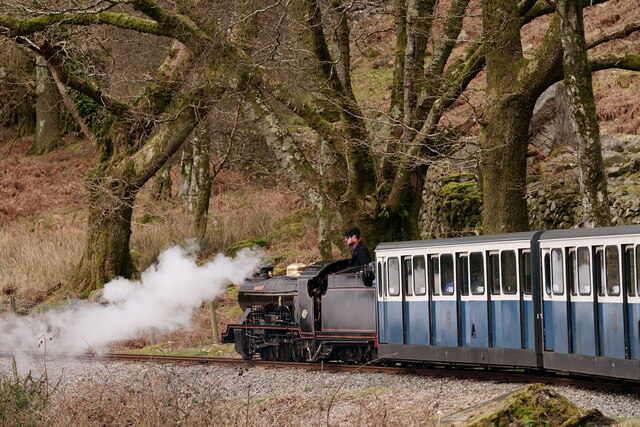
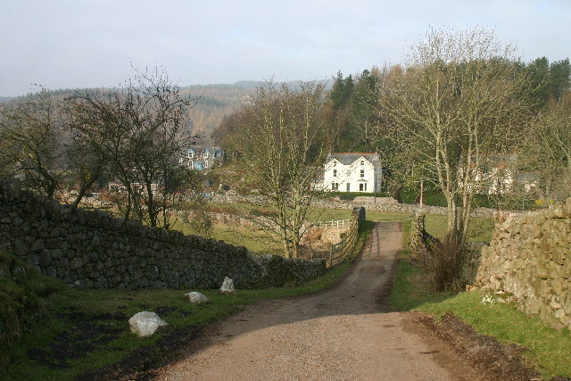
Forge Wood Images

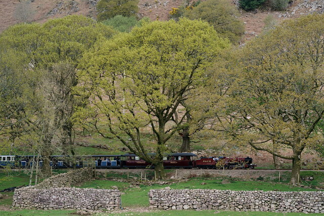
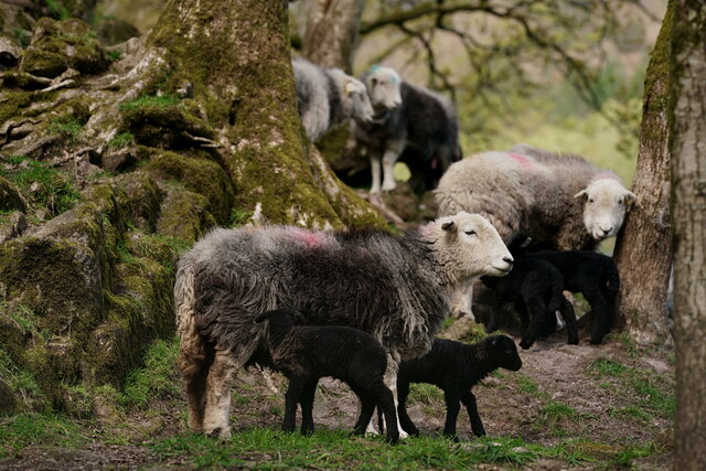
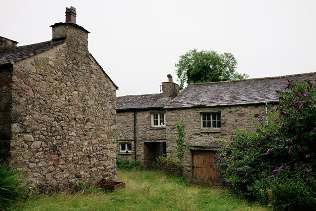
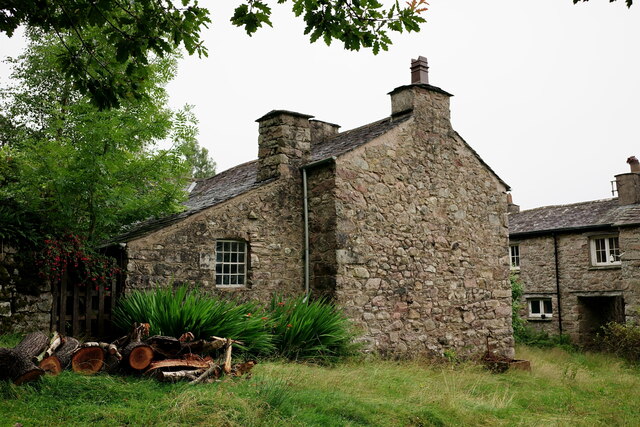
Images are sourced within 2km of 54.38221/-3.3124063 or Grid Reference SD1499. Thanks to Geograph Open Source API. All images are credited.

'River Irt' Passing the site of a disused quarry, just down the line from Beckfoot.
'River Irt'
Passing the site of a disused quarry, just down the line from Beckfoot.
'River Mite' Near Hollin Head Cottage, on the journey up to Dalegarth.
'River Mite'
Near Hollin Head Cottage, on the journey up to Dalegarth.
Herdwicks in Eskdale Seen at Fisherground Farm.
Herdwicks in Eskdale
Seen at Fisherground Farm.
Low Holme Isolated farm, at the edge of Eskdale Green.
Low Holme
Isolated farm, at the edge of Eskdale Green.
Low Holme Isolated farm, at the edge of Eskdale Green.
Low Holme
Isolated farm, at the edge of Eskdale Green.
Low Holme Isolated farm, at the edge of Eskdale Green.
Low Holme
Isolated farm, at the edge of Eskdale Green.
Low Holme Isolated farm, at the edge of Eskdale Green.
Low Holme
Isolated farm, at the edge of Eskdale Green.
View Towards Muncaster Fell Seen from Smithybrow Lane. In the far distance, the coastline can be seen.
View Towards Muncaster Fell
Seen from Smithybrow Lane. In the far distance, the coastline can be seen.
Ravenglass & Eskdale Railway near Fisherground River Esk heads its train for Dalegarth past the farm.
Ravenglass & Eskdale Railway near Fisherground
River Esk heads its train for Dalegarth past the farm.
Ravenglass & Eskdale Railway and road near Beckfoot
Eskdale Green Great Bank is in the middle distance.
Eskdale Green
Great Bank is in the middle distance.
'River Esk' Passing in the Fisherground loop, just down the valley from Fisherground station.
'River Esk'
Passing in the Fisherground loop, just down the valley from Fisherground station.
Shed on the Ravenglass and Eskdale railway
'River Mite' Seen with a service for Ravenglass, having just passed Spout House Farm. The stump from a huge oak tree is in the bottom right of the photograph.
'River Mite'
Seen with a service for Ravenglass, having just passed Spout House Farm. The stump from a huge oak tree is in the bottom right of the photograph.
Eskdale View towards the Old Joiners Shop, with Hollinghead Crag in the background.
Eskdale
View towards the Old Joiners Shop, with Hollinghead Crag in the background.
'River Esk' Passing the disused quarry, just down the valley from Beckfoot.
'River Esk'
Passing the disused quarry, just down the valley from Beckfoot.
'River Esk' Passing the disused quarry, just down the valley from Beckfoot.
'River Esk'
Passing the disused quarry, just down the valley from Beckfoot.
'River Esk' Heading down the valley, with a train for Ravenglass. The train had just passed Spout House Farm.
'River Esk'
Heading down the valley, with a train for Ravenglass. The train had just passed Spout House Farm.
Show me another place!

Forge Wood is located at Grid Ref: SD1499 (Lat: 54.38221, Lng: -3.3124063)

Administrative County: Cumbria

District: Copeland

Police Authority: Cumbria

What 3 Words

///paler.takeovers.pampered. Near Seascale, Cumbria

Related Wikis

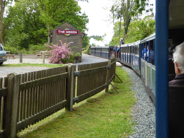
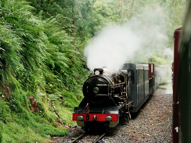
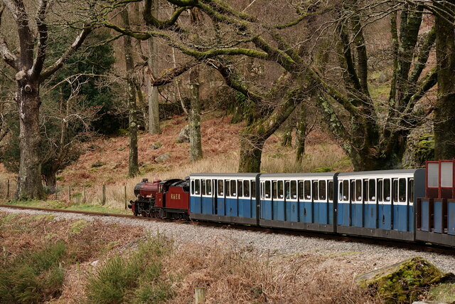
The Green railway station

The Green is a railway station on the 15-inch gauge Ravenglass & Eskdale Railway in the Lake District National Park and the English county of Cumbria....

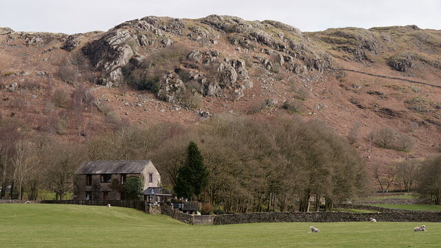
Gate House, Eskdale Green

Gate House or Gatehouse is a country house in Eskdale Green, Cumbria, England. The house became a Grade II listed building on 8 September 1967. Built in...

Eskdale Green

Eskdale Green is a village in Cumbria, England, 10 miles west of Coniston. Historically in Cumberland, it lies off the A595 road and is one of the few...
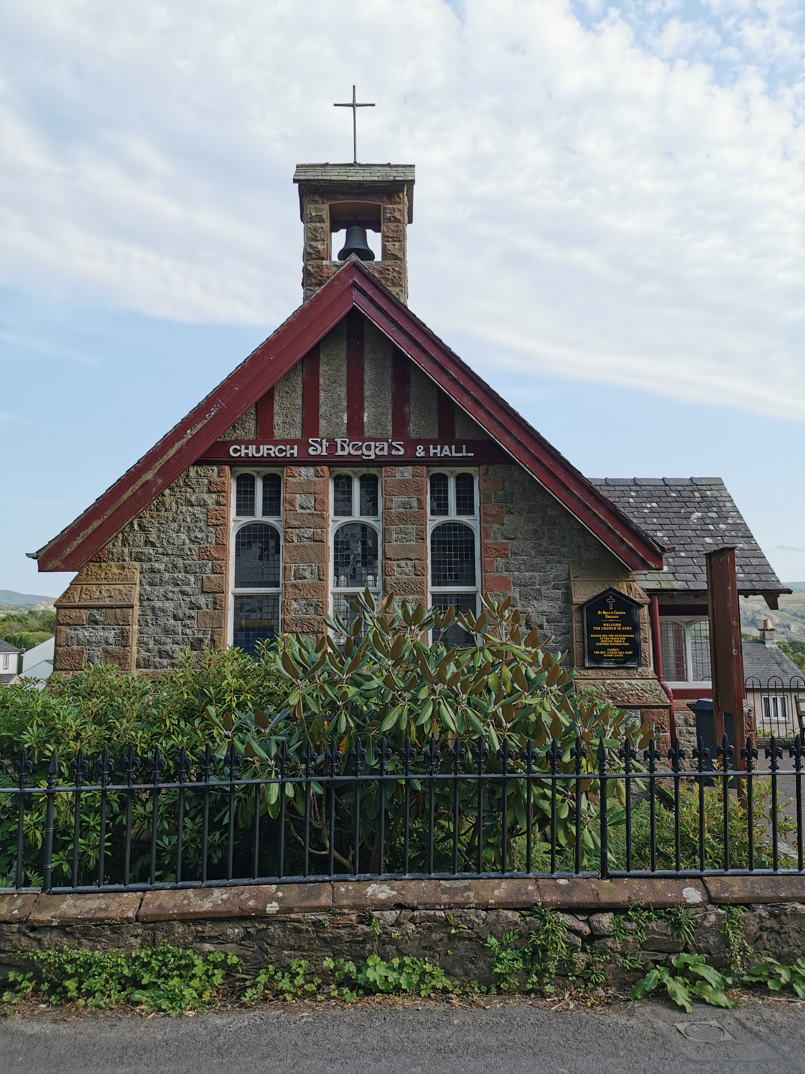
St Bega, Eskdale

St Bega is in Eskdale, Cumbria, England. It is an active Anglican parish church in the deanery of Calder, and the diocese of Carlisle. Its benefice is...

Nearby Amenities

Located within 500m of 54.38221,-3.3124063
Barrier: cattle_grid
Lat/Long: 54.384567/-3.3094656
Low Copice
Natural: wood
Lat/Long: 54.3862077/-3.3152785
Access: permissive
Barrier: stile
Bicycle: no
Foot: yes
Horse: no
Material: stone
Motor Vehicle: no
Stile: squeezer
Lat/Long: 54.3839861/-3.3119067
Power: pole
Lat/Long: 54.380323/-3.3189745
Power: pole
Lat/Long: 54.380596/-3.3181208
Power: pole
Lat/Long: 54.3811076/-3.3167774
Power: pole
Lat/Long: 54.3816115/-3.3154397
Power: pole
Lat/Long: 54.3817202/-3.3151177
Power: pole
Lat/Long: 54.381526/-3.3177321
Power: pole
Lat/Long: 54.382264/-3.3178407
Power: pole
Lat/Long: 54.3830563/-3.317936
Power: pole
Lat/Long: 54.384075/-3.3180694
Power: pole
Lat/Long: 54.3847686/-3.3174977
Power: pole
Lat/Long: 54.3855831/-3.3168289
The data included in this document is from www.openstreetmap.org. The data is made available under ODbL.

Have you been to Forge Wood?

Leave your review of Forge Wood below (or comments, questions and feedback).