Fore Close Copse

Wood, Forest in Devon Mid Devon

England

Fore Close Copse

Hemyock: bluebell walk In the private grounds of Pikes Cottage at Madford where 19 acres of woods and 6 acres of cultivated garden are open to members of the public on certain summer weekends under The National Gardens Scheme - gardens open for charity. The Times featured the estate in 2004. Looking south
Hemyock: bluebell walk Credit: Martin Bodman

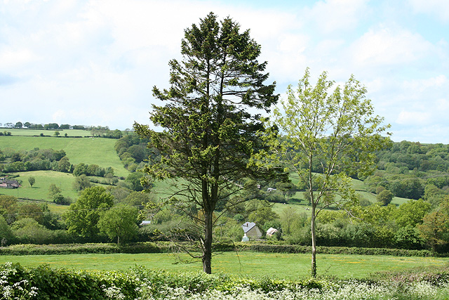
Fore Close Copse is a picturesque woodland located in Devon, England. Nestled in the heart of the county, this copse is a haven for nature enthusiasts and those seeking tranquility amidst the beauty of the outdoors.

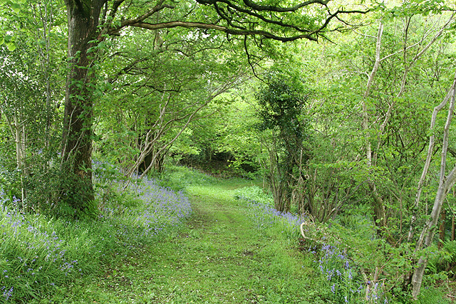
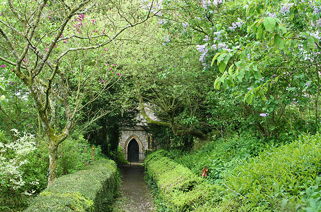
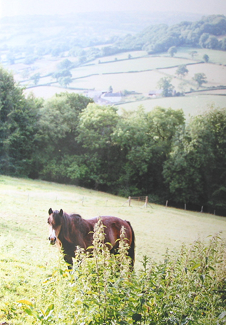
Covering an area of approximately 10 acres, Fore Close Copse is characterized by its dense canopy of trees, predominantly consisting of oak, birch, and beech. The copse is known for its rich biodiversity, housing a variety of plant species such as bluebells, wild garlic, and wood sorrel. These plants create a vibrant carpet of colors during the spring and summer months, attracting a myriad of insects and birds.

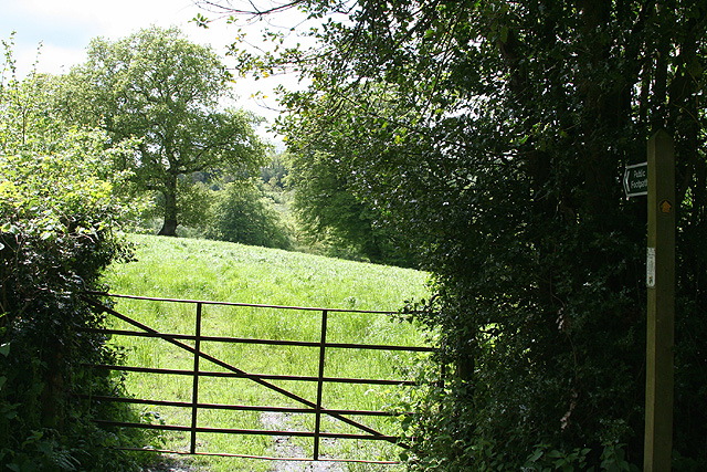
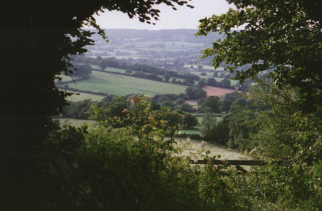
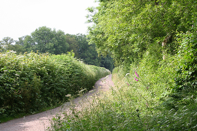
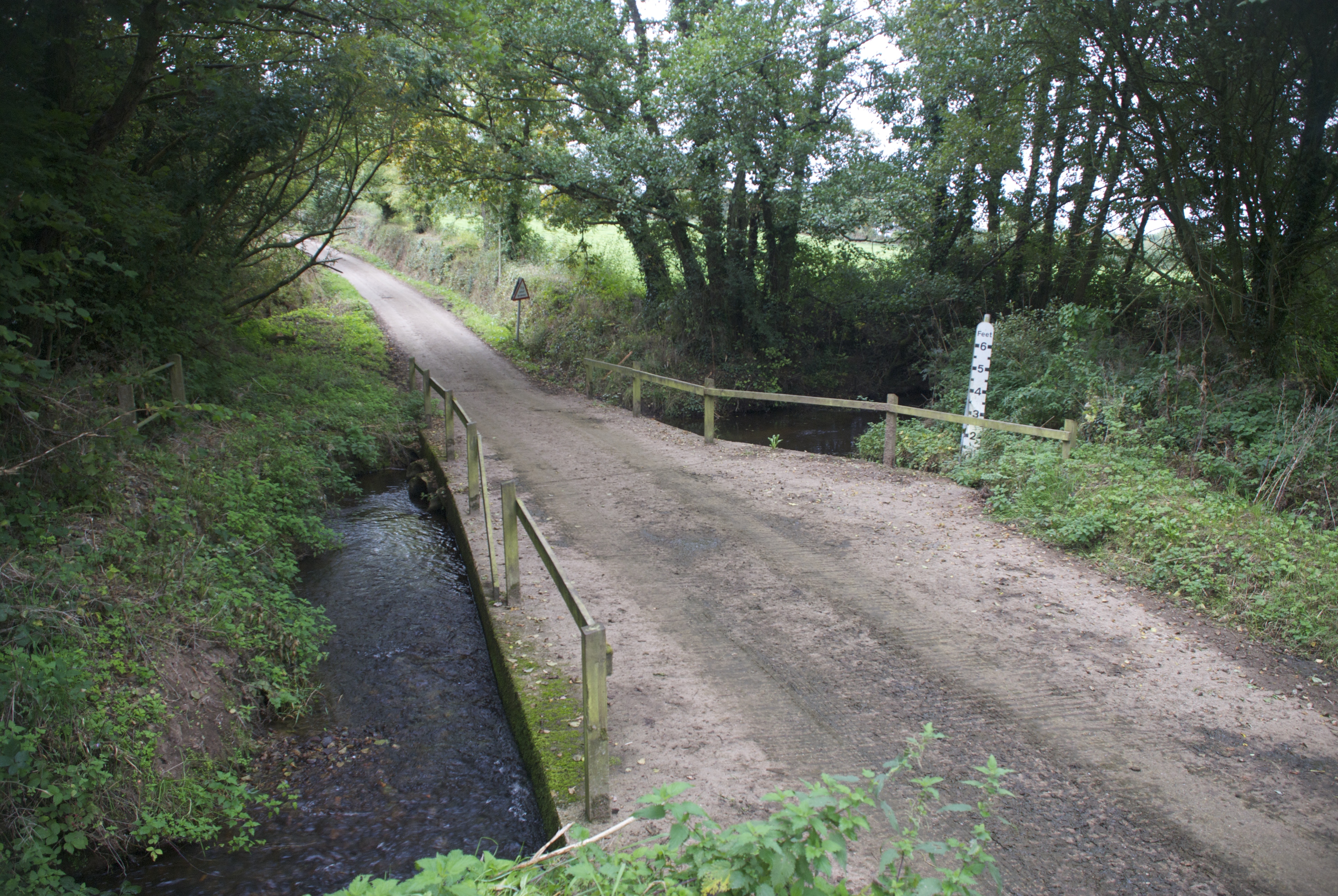
The copse is crisscrossed by several walking trails, allowing visitors to explore its natural wonders at their own pace. The trails wind through the towering trees, offering glimpses of sunlight filtering through the foliage and creating a dappled effect on the forest floor. Along the way, visitors may encounter small streams and hidden clearings, perfect for a peaceful picnic or a moment of reflection.

Fore Close Copse is also home to a diverse range of wildlife. Squirrels and rabbits can often be spotted darting among the trees, while birdwatchers may have the chance to observe species such as woodpeckers, thrushes, and owls. The copse's tranquil atmosphere makes it an ideal habitat for these creatures, providing them with a safe and undisturbed environment.

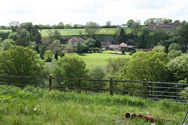
Overall, Fore Close Copse is a natural gem in the Devon countryside, offering a serene retreat from the hustle and bustle of everyday life. Its lush vegetation, well-maintained trails, and abundant wildlife make it a must-visit destination for nature lovers and those seeking a peaceful connection with the great outdoors.

If you have any feedback on the listing, please let us know in the comments section below.

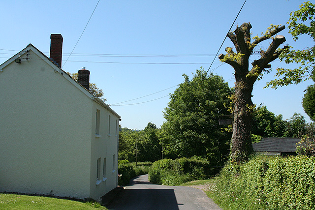
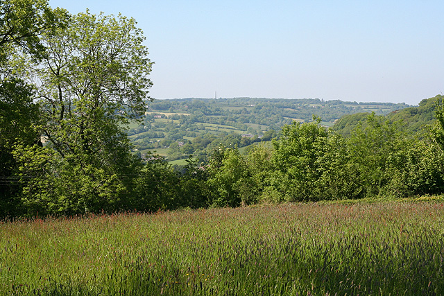
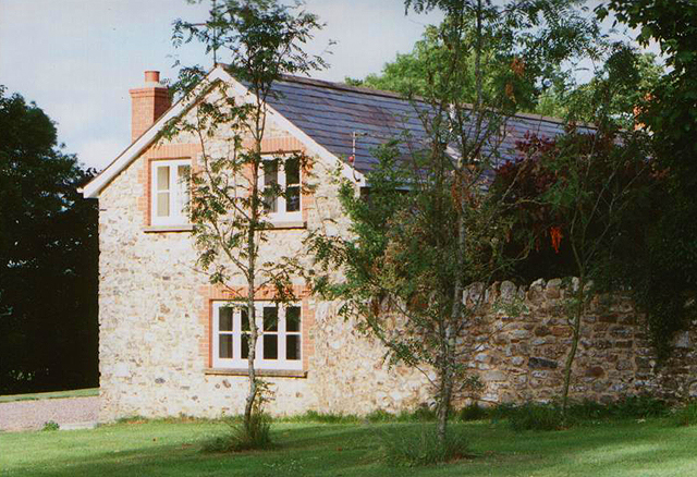
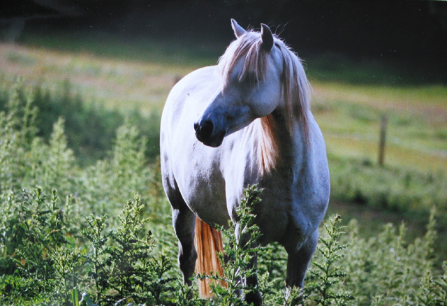
Fore Close Copse Images

Images are sourced within 2km of 50.891405/-3.2142218 or Grid Reference ST1410. Thanks to Geograph Open Source API. All images are credited.
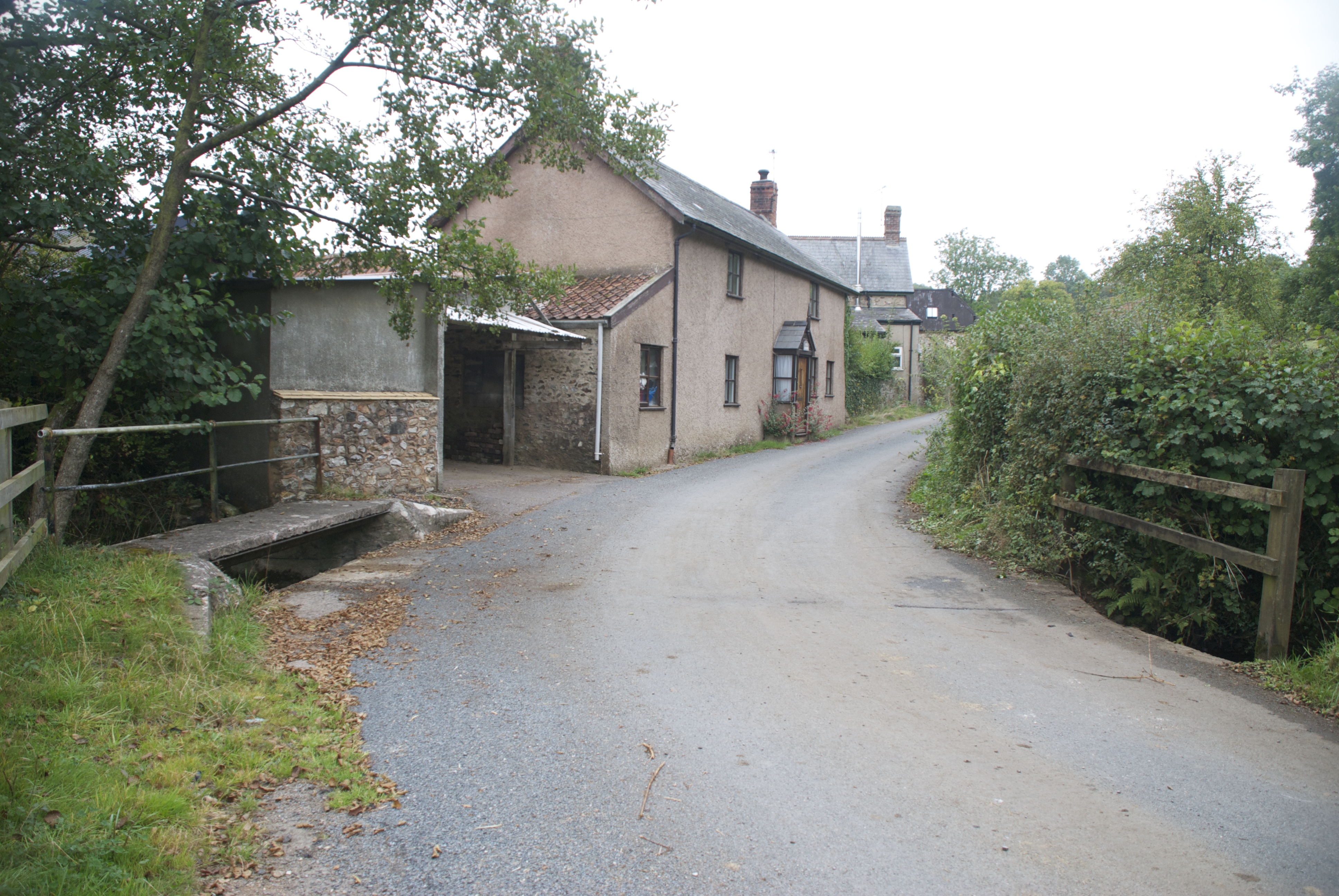
Hemyock: bluebell walk In the private grounds of Pikes Cottage at Madford where 19 acres of woods and 6 acres of cultivated garden are open to members of the public on certain summer weekends under The National Gardens Scheme - gardens open for charity. The Times featured the estate in 2004. Looking south
Hemyock: bluebell walk
In the private grounds of Pikes Cottage at Madford where 19 acres of woods and 6 acres of cultivated garden are open to members of the public on certain summer weekends under The National Gardens Scheme - gardens open for charity. The Times featured the estate in 2004. Looking south
Hemyock: Scaddings Prings and Scaddings was site of an 18th century tannery:
‘Devonshire. To be Let for a Term of 7 or 14 years, and entered upon immediately, all that Meffuage and Tenement called by the name of Prings and Scaddings, lately in the possession of Mr Clement Waldron, fituate at Madford, in the parifh of Hemiock .. comprifing of a Dwelling-houfe, Barn, and Outbuildings, and about twenty five acres of very good Orchard, Meadow and Pasture Land, well fituated for a Tannery, that Bufinefs having recently been carried on there ..’
[Exeter Flying Post 2 June 1796 p 2 col 3]. Situated by the Madford Water, a tributary of the Culm, and just downstream from Dunkeswell Abbey, it is very possible that there was originally a medieval tannery associated with the abbey here. Looking west-north-west
Hemyock: Scaddings
Prings and Scaddings was site of an 18th century tannery: ‘Devonshire. To be Let for a Term of 7 or 14 years, and entered upon immediately, all that Meffuage and Tenement called by the name of Prings and Scaddings, lately in the possession of Mr Clement Waldron, fituate at Madford, in the parifh of Hemiock .. comprifing of a Dwelling-houfe, Barn, and Outbuildings, and about twenty five acres of very good Orchard, Meadow and Pasture Land, well fituated for a Tannery, that Bufinefs having recently been carried on there ..’ [Exeter Flying Post 2 June 1796 p 2 col 3]. Situated by the Madford Water, a tributary of the Culm, and just downstream from Dunkeswell Abbey, it is very possible that there was originally a medieval tannery associated with the abbey here. Looking west-north-west
Dunkeswell: Madford valley Looking west-north-west from an entrance to Abbotsford Farm. The Dunkeswell Abbey site lies a little upstream to the left of shot
Dunkeswell: Madford valley
Looking west-north-west from an entrance to Abbotsford Farm. The Dunkeswell Abbey site lies a little upstream to the left of shot
Dunkeswell: on Madford Hill Looking south west. Typical landscape on the Blackdown Hills
Dunkeswell: on Madford Hill
Looking south west. Typical landscape on the Blackdown Hills
Dunkeswell: Abbey With remains of the Cistercian abbey beyond the MPV. Beyond the white gates a path leads to the church of the Holy Trinity
Dunkeswell: Abbey
With remains of the Cistercian abbey beyond the MPV. Beyond the white gates a path leads to the church of the Holy Trinity
Dunkeswell: church path By the site of Dunkeswell Abbey, the path leads to the church of the Holy Trinity. Looking east-north-east
Dunkeswell: church path
By the site of Dunkeswell Abbey, the path leads to the church of the Holy Trinity. Looking east-north-east
Dunkeswell: footpath to Stentwood Looking south west from the lane between Dunkeswell Abbey and Dunkeswell village
Dunkeswell: footpath to Stentwood
Looking south west from the lane between Dunkeswell Abbey and Dunkeswell village
Dunkeswell: on Collard Hill Gathering hay for silage. The tractor is pulling a new trailer with its own feed device. Useful. But it means that the tractor needs to empty the trailer after no more than a lap of an average-sized field, which is fine if the silage storage facility is near at hand. Looking east-south-east with Abbey Hill – above Dunkeswell Abbey – on the skyline
Dunkeswell: on Collard Hill
Gathering hay for silage. The tractor is pulling a new trailer with its own feed device. Useful. But it means that the tractor needs to empty the trailer after no more than a lap of an average-sized field, which is fine if the silage storage facility is near at hand. Looking east-south-east with Abbey Hill – above Dunkeswell Abbey – on the skyline
Hemyock: the Madford valley Seen from the entrance to Jewell’s Farm. Looking south-south-west
Hemyock: the Madford valley
Seen from the entrance to Jewell’s Farm. Looking south-south-west
Hemyock: towards Bolham Farm Seen from the lane by Five Bridges Farm. Looking north east
Hemyock: towards Bolham Farm
Seen from the lane by Five Bridges Farm. Looking north east
Hemyock: Five Bridges Farm Looking north west. Note the TV aerial positioned in the tree across the road for better reception
Hemyock: Five Bridges Farm
Looking north west. Note the TV aerial positioned in the tree across the road for better reception
Hemyock: near Crockers Farm Looking north-north-west over the Culm valley to the Wellington Monument, just visible on the skyline
Hemyock: near Crockers Farm
Looking north-north-west over the Culm valley to the Wellington Monument, just visible on the skyline
Medlar Cottage, Lemons Hill Farm One of 3 cottages in this lovely spot near Hemyock.
Medlar Cottage, Lemons Hill Farm
One of 3 cottages in this lovely spot near Hemyock.
White coat I don't think the horses see too many people - this one always came to have a nosey when we walked past on our way to Lemons Hill Farm.
White coat
I don't think the horses see too many people - this one always came to have a nosey when we walked past on our way to Lemons Hill Farm.
Grazing land near Lemons Hill Farm A steep slope but the horse would come up and see us every day.
Grazing land near Lemons Hill Farm
A steep slope but the horse would come up and see us every day.
View from Lemons Hill Farm
Dunkeswell: towards Stentwood Seen from the lane by Higher Musgrove. Looking west across the upper Madford valley
Dunkeswell: towards Stentwood
Seen from the lane by Higher Musgrove. Looking west across the upper Madford valley
Dunkeswell: the lane to Dunkeswell Abbey Looking north in the direction of Park Farm
Dunkeswell: the lane to Dunkeswell Abbey
Looking north in the direction of Park Farm
Show me another place!

Fore Close Copse is located at Grid Ref: ST1410 (Lat: 50.891405, Lng: -3.2142218)

Administrative County: Devon

District: Mid Devon

Police Authority: Devon and Cornwall

What 3 Words

///trackers.hairpin.oppose. Near Hemyock, Devon

Related Wikis

Abbey, Devon

Abbey is a hamlet in the English county of Devon. It is located in the Blackdown Hills, a group of hills that border both Devon and Somerset. Dunkeswell...
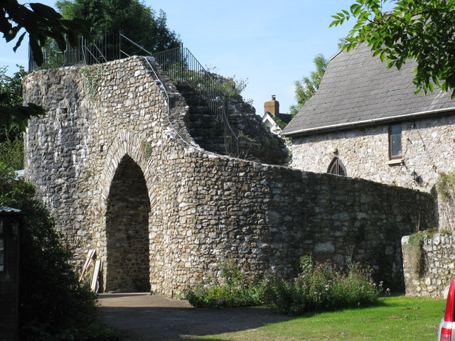
Hemyock Castle

Hemyock Castle is a ruined 14th-century castle in the village of Hemyock, Devon, England. It was built by Sir William Asthorpe after 1380 to a quadrangular...

Hemyock

Hemyock () is a village and civil parish in Devon, England. It is about 8 miles north-west of Honiton and 5 miles (8 km) south of the Somerset town of...

Goodleigh, Mid Devon

Goodleigh is a village about 1 km northeast of Bodmiscombe in the county of Devon, England.The origin of the place-name is from the Old English words Goda...

Related Videos

Vegan Irish Tea Brack

You wont believe this cake is so quick to make, tastes so good and has no dairy, eggs, oil/butter or even sugar added, just fruit, ...

Rites of Passage for Teenagers

Life is full of major milestones, from birth to death, and everything in between. That's where Rites of Passage come in!

Exploring - Merry Harriers Pub

Today we head to The Merry Harriers Pub . Closing suspiciously in 2016 with no notice. One month later the pub was ablaze with ...

Nearby Amenities

Located within 500m of 50.891405,-3.2142218
Power: pole
Source: bing
Transformer: distribution
Lat/Long: 50.8932068/-3.2172869
Power: pole
Source: bing
Lat/Long: 50.8937642/-3.2169798
Power: pole
Source: bing
Lat/Long: 50.8951575/-3.2165989
Power: pole
Source: bing
Lat/Long: 50.8923676/-3.2078429
Power: pole
Source: bing
Lat/Long: 50.891811/-3.2081768
Power: pole
Source: bing
Lat/Long: 50.8915208/-3.2088272
Power: pole
Source: bing
Lat/Long: 50.8912239/-3.2094683
Power: pole
Source: bing
Lat/Long: 50.8901216/-3.2093409
Power: pole
Source: bing
Lat/Long: 50.8907687/-3.2104942
Power: pole
Source: bing
Lat/Long: 50.8913956/-3.2115966
Power: pole
Source: bing
Lat/Long: 50.891959/-3.2126038
Power: pole
Source: bing
Transformer: distribution
Lat/Long: 50.892102/-3.2141072
Power: pole
Source: bing
Lat/Long: 50.8922102/-3.2152444
Power: pole
Source: bing
Lat/Long: 50.8922965/-3.2161389
Power: pole
Source: bing
Lat/Long: 50.8924361/-3.2176785
Power: pole
Source: bing
Lat/Long: 50.8923456/-3.2201475
Power: pole
Source: bing
Switch: yes
Lat/Long: 50.8922111/-3.2194394
Power: pole
Source: bing
Lat/Long: 50.8928159/-3.2174854
Power: pole
Source: bing
Lat/Long: 50.8919412/-3.2179414
Power: pole
Source: bing
Lat/Long: 50.8888027/-3.2198645
Power: pole
Source: bing
Lat/Long: 50.8911308/-3.2183558
Power: pole
Source: bing
Lat/Long: 50.8901055/-3.2185167
Power: pole
Source: bing
Transformer: distribution
Lat/Long: 50.888383/-3.2163066
Power: pole
Source: bing
Lat/Long: 50.8880505/-3.2175913
Power: pole
Source: bing
Lat/Long: 50.8891191/-3.2186776
Power: pole
Source: bing
Lat/Long: 50.8881411/-3.2188131
Power: pole
Source: bing
Lat/Long: 50.8954205/-3.2147442
Power: pole
Source: bing
Lat/Long: 50.8952166/-3.2162033
Power: pole
Source: bing
Lat/Long: 50.8944875/-3.2167317
The data included in this document is from www.openstreetmap.org. The data is made available under ODbL.

Have you been to Fore Close Copse?

Leave your review of Fore Close Copse below (or comments, questions and feedback).