Mackham
Settlement in Devon Mid Devon
England
Mackham
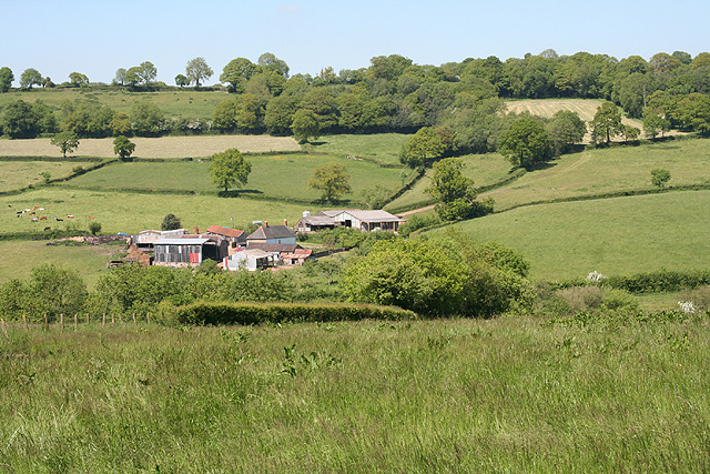
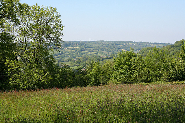
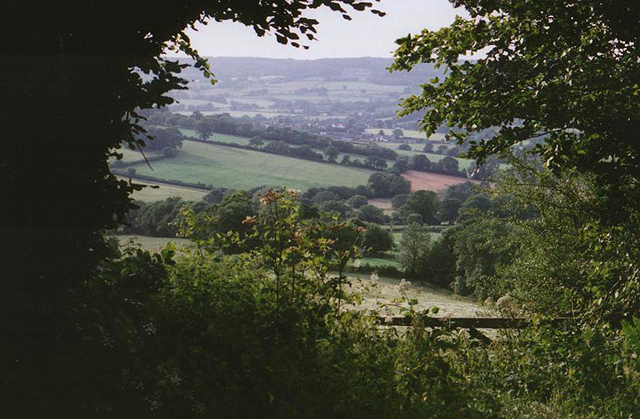
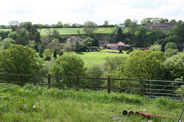
Mackham is a small and picturesque village located in the county of Devon, in the southwest of England. Situated on the banks of the River Otter, the village is surrounded by beautiful countryside and offers a tranquil and idyllic setting for its residents.
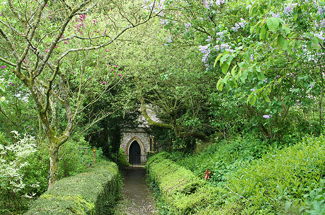
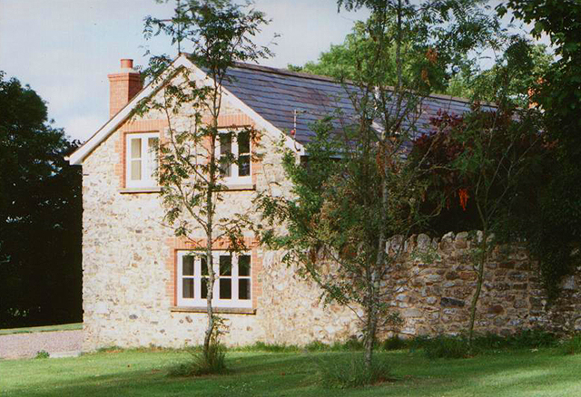
With a population of just over 500 people, Mackham has a close-knit community that takes pride in the village's rich history. The origins of Mackham can be traced back to the medieval period, and many of its charming buildings still retain their traditional architectural features. The village church, St. Mary's, is a prominent landmark, dating back to the 12th century and attracting visitors with its stunning stained glass windows.
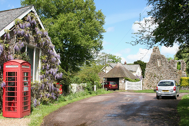
Despite its small size, Mackham offers a range of amenities to its residents. The village boasts a local pub, The Otter's Rest, which serves as a popular gathering spot for both locals and visitors. There is also a village shop, providing essential groceries and other everyday items.
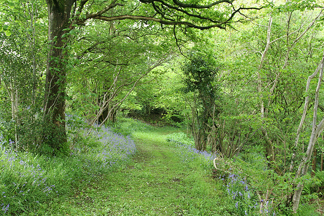
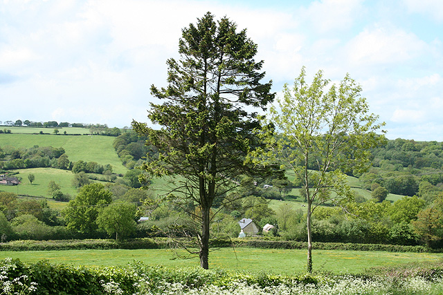
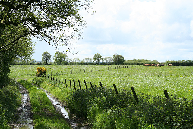
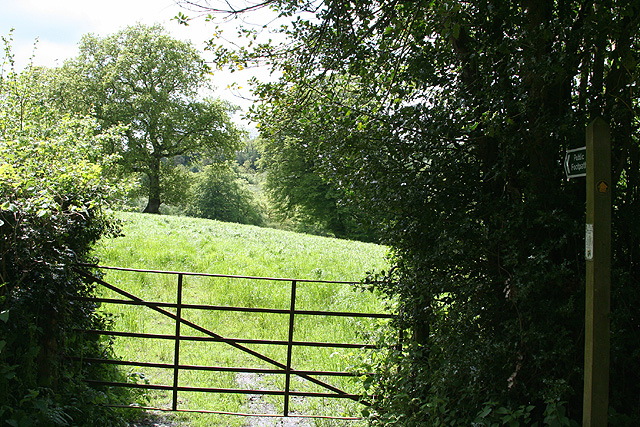
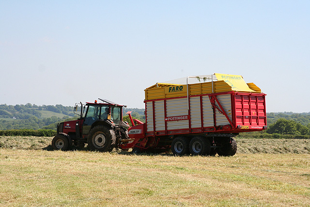
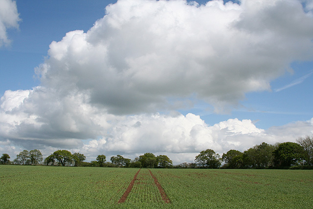
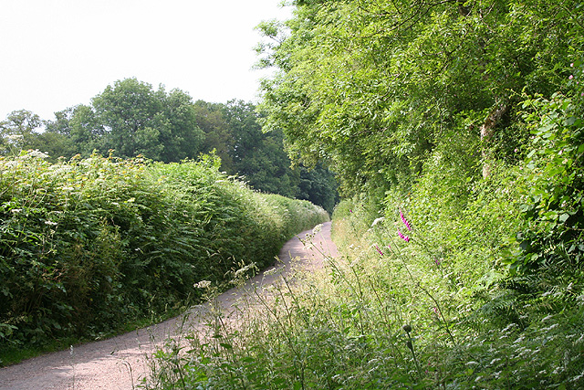
Nature enthusiasts will find themselves in paradise in Mackham, as the village is surrounded by verdant countryside and offers easy access to nearby nature reserves and walking trails. The River Otter, in particular, provides opportunities for fishing and leisurely walks along its banks.
Mackham is well connected to the rest of Devon, with regular bus services connecting it to nearby towns and cities. The village is located approximately 10 miles east of Exeter, making it a convenient place to live for those seeking a quieter rural lifestyle while still having access to urban amenities.
In summary, Mackham is a charming and historic village in Devon, offering a peaceful and picturesque setting for its residents. With its rich history, natural beauty, and close-knit community, Mackham is a hidden gem in the English countryside.
If you have any feedback on the listing, please let us know in the comments section below.
Mackham Images
Images are sourced within 2km of 50.883582/-3.21186 or Grid Reference ST1410. Thanks to Geograph Open Source API. All images are credited.
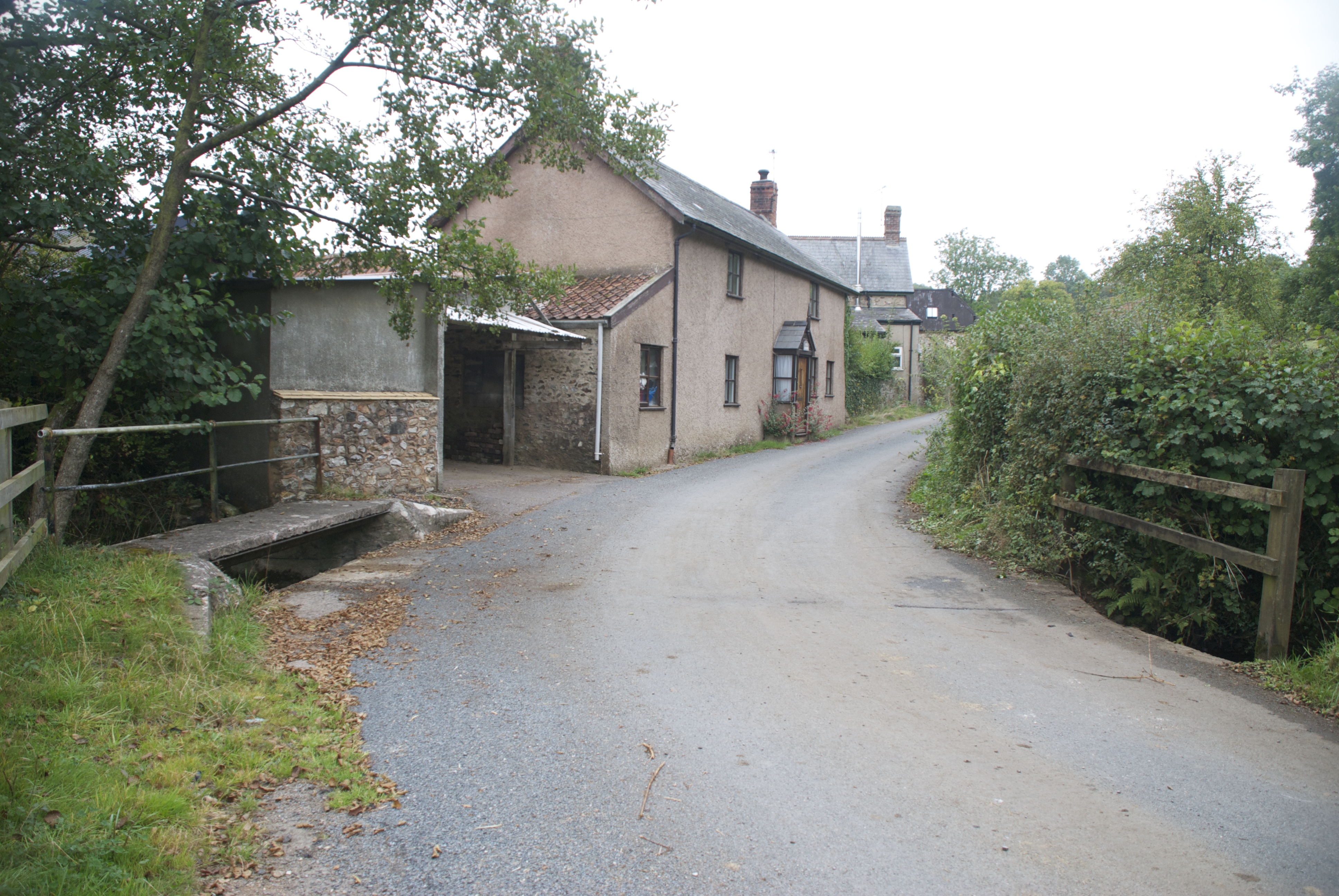
![Hemyock: Scaddings Prings and Scaddings was site of an 18th century tannery:
‘Devonshire. To be Let for a Term of 7 or 14 years, and entered upon immediately, all that Meffuage and Tenement called by the name of Prings and Scaddings, lately in the possession of Mr Clement Waldron, fituate at Madford, in the parifh of Hemiock .. comprifing of a Dwelling-houfe, Barn, and Outbuildings, and about twenty five acres of very good Orchard, Meadow and Pasture Land, well fituated for a Tannery, that Bufinefs having recently been carried on there ..’
[Exeter Flying Post 2 June 1796 p 2 col 3]. Situated by the Madford Water, a tributary of the Culm, and just downstream from Dunkeswell Abbey, it is very possible that there was originally a medieval tannery associated with the abbey here. Looking west-north-west](https://s2.geograph.org.uk/photos/17/31/173150_7234de17.jpg)

Mackham is located at Grid Ref: ST1410 (Lat: 50.883582, Lng: -3.21186)
Administrative County: Devon
District: Mid Devon
Police Authority: Devon and Cornwall
What 3 Words
///manages.patrolled.mailbox. Near Dunkeswell, Devon
Nearby Locations
Related Wikis
Abbey, Devon
Abbey is a hamlet in the English county of Devon. It is located in the Blackdown Hills, a group of hills that border both Devon and Somerset. Dunkeswell...
Dunkeswell
Dunkeswell is a village and civil parish in East Devon, England, located about 5 miles (8.0 km) north of the town of Honiton. At the 2001 census, the...
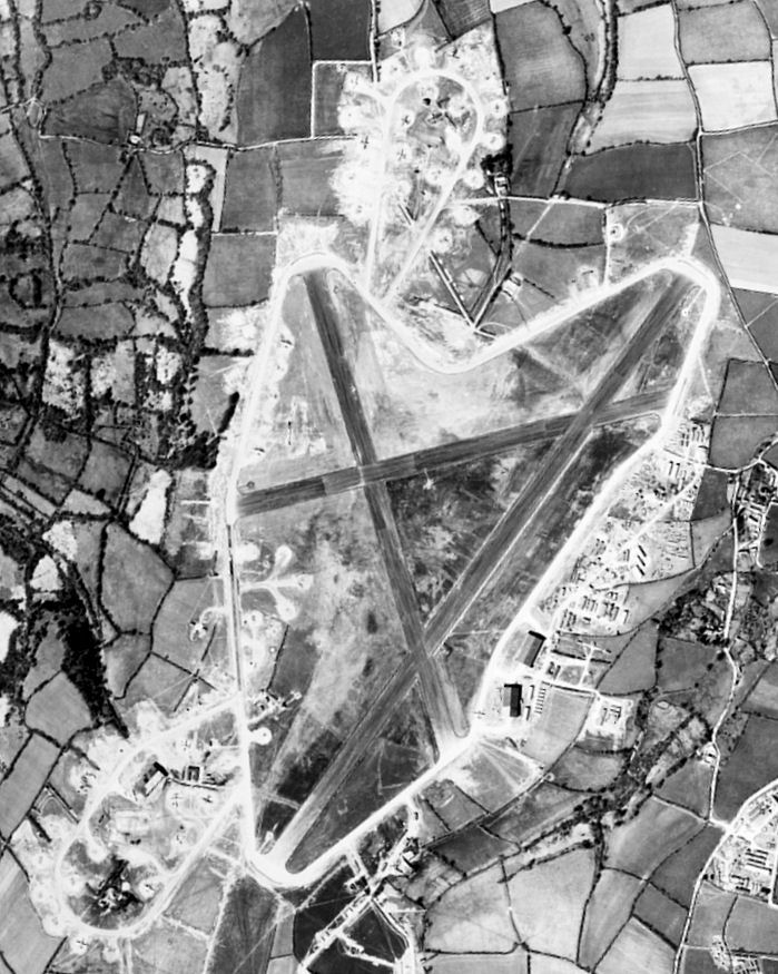
Dunkeswell Aerodrome
Dunkeswell Aerodrome (ICAO: EGTU) is an airfield in East Devon, England. It is located approximately 5 mi (8.0 km) north of the town of Honiton and 14...

Sheldon, Devon
Sheldon is a village and civil parish in the East Devon district of the county of Devon in England. It is located in the Blackdown Hills, 6.5 miles (10...
Related Videos
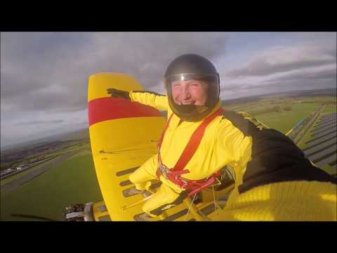
Wing walking Andy Guest author of autobiography TYPE T tries another extreme pursuit
Wing walking has to be said is out of most peoples comfort zone and scary, Andy Guest author of TYPE T has lived a life outside ...
Skydiving Bank holiday Helicopter madness
Incredible scenes at Dunkeswell aerodrome. Skydiving and jumping from helicopter Watch and subscribe Please like and share; ...
Jumping out of a plane... from 15,000ft
Skydive from Dunkeswell Airfield, UK.

Nearby Amenities
Located within 500m of 50.883582,-3.21186Have you been to Mackham?
Leave your review of Mackham below (or comments, questions and feedback).