Mackerye End
Settlement in Hertfordshire St. Albans
England
Mackerye End

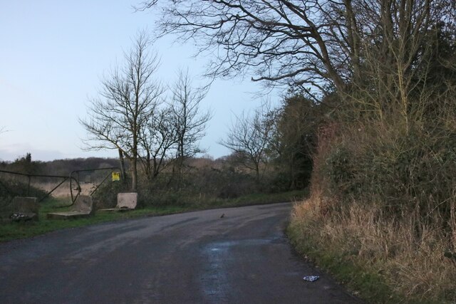
Mackerye End is a small village located in the county of Hertfordshire, England. Situated in the Chiltern Hills, it is surrounded by picturesque countryside and offers a tranquil and idyllic setting for residents and visitors alike. The village is part of the Dacorum borough, approximately 5 miles northeast of the town of Hemel Hempstead.
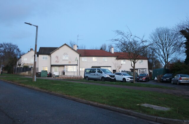
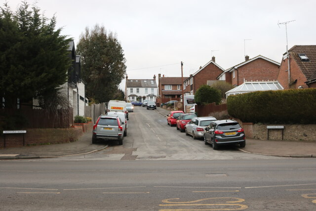
Known for its charming atmosphere and natural beauty, Mackerye End is home to a close-knit community. The village features a mix of architectural styles, with traditional cottages and more modern houses scattered throughout. The local church, St Mary's, dates back to the 12th century and is a notable landmark in the area.
Nature enthusiasts will find plenty to explore in the surrounding countryside. The village is surrounded by rolling hills, meadows, and woodland, offering numerous walking and hiking trails. The nearby Ashridge Estate is a popular destination, known for its expansive woodlands, historic monuments, and stunning gardens.
Despite its rural location, Mackerye End benefits from good transport links. The A41 road connects the village to nearby towns and cities, while Hemel Hempstead train station provides easy access to London and other major destinations.
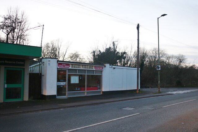
In terms of amenities, the village boasts a local pub, The Red Lion, which serves as a focal point for the community. For additional amenities, residents can easily access nearby towns such as Hemel Hempstead and Berkhamsted, where they will find a wider range of shops, restaurants, and leisure facilities.
Overall, Mackerye End offers a peaceful and picturesque retreat in the heart of Hertfordshire, making it an ideal place for those seeking a rural lifestyle with easy access to modern amenities.
If you have any feedback on the listing, please let us know in the comments section below.
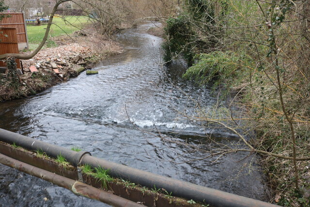
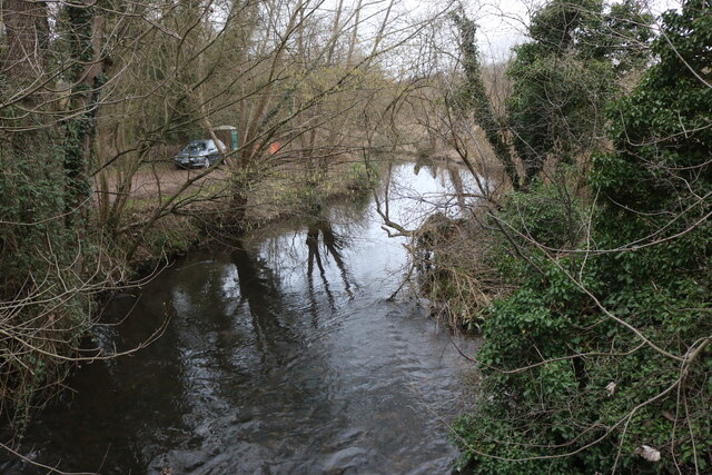
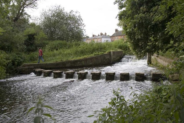
Mackerye End Images
Images are sourced within 2km of 51.828208/-0.32259973 or Grid Reference TL1515. Thanks to Geograph Open Source API. All images are credited.


Mackerye End is located at Grid Ref: TL1515 (Lat: 51.828208, Lng: -0.32259973)
Administrative County: Hertfordshire
District: St. Albans
Police Authority: Hertfordshire
What 3 Words
///canny.suffer.nodded. Near Wheathampstead, Hertfordshire
Nearby Locations
Related Wikis

Marshalls Heath
Marshalls Heath is a hamlet and a 4-hectare (10-acre) Local Nature Reserve in Wheathampstead parish, Hertfordshire, England. The nature reserve is owned...

Bower Heath
Bower Heath is a hamlet in Hertfordshire, England. It is in the civil parish of Harpenden
Batford Springs
Batford Springs is a 3.5-hectare (8.6-acre) Local Nature Reserve in Harpenden in Hertfordshire. It is owned and managed by Harpenden Town Council, and...
Harpenden East railway station
Harpenden East was one of two stations serving the town of Harpenden, the other station which remains open being Harpenden Central. Originally named Harpenden...
Batford
Batford is a village in Hertfordshire, England, located on the River Lea on the outskirts of Harpenden. Batford Springs is a local nature reserve alongside...
Sir John Lawes School
Sir John Lawes School (also known as SJL) is a mixed state secondary school with academy status in Harpenden, United Kingdom. The school has close links...

Aldwickbury School
Aldwickbury School is a 4–13 boys private preparatory school located on the outskirts of Harpenden, Hertfordshire in the United Kingdom. Aldwickbury School...
St George's School, Harpenden
St George's School, Harpenden (also known as St George's) is a non-selective state day and boarding school in Harpenden, Hertfordshire, England, educating...
Nearby Amenities
Located within 500m of 51.828208,-0.32259973Have you been to Mackerye End?
Leave your review of Mackerye End below (or comments, questions and feedback).