Nackerye End
Heritage Site in Hertfordshire St. Albans
England
Nackerye End

Nackerye End is a charming heritage site located in Hertfordshire, England. Situated in the picturesque countryside, it offers visitors a glimpse into the region's rich history and cultural heritage. The site is known for its well-preserved buildings and beautiful surroundings.
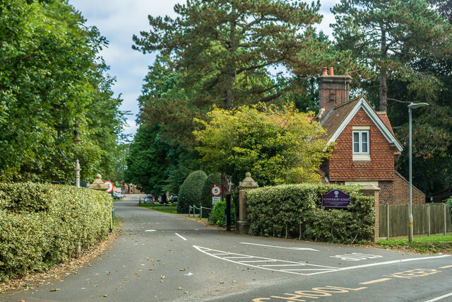
The main feature of Nackerye End is its collection of historic cottages, dating back to the 17th and 18th centuries. These cottages showcase the traditional architecture of the region, with their timber frames and thatched roofs. Visitors can explore the interiors of some of these cottages, which have been furnished to reflect the lifestyle of the past.
Surrounded by lush green fields and rolling hills, Nackerye End provides a peaceful and idyllic setting. The site offers walking trails that allow visitors to fully immerse themselves in the natural beauty of the area. The trails lead to a nearby stream, where visitors can enjoy a picnic or simply relax in the tranquil atmosphere.
In addition to its architectural and natural attractions, Nackerye End also offers educational programs and workshops. These aim to promote an understanding and appreciation of the local heritage, providing visitors with insights into the lives of the people who once lived in the cottages.
Nackerye End is a popular destination for history enthusiasts, nature lovers, and those seeking a peaceful retreat. Its well-preserved cottages, stunning surroundings, and educational activities make it an ideal place to explore and learn about Hertfordshire's heritage.
If you have any feedback on the listing, please let us know in the comments section below.
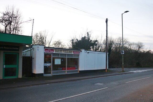
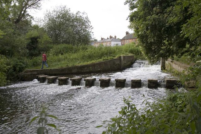
Nackerye End Images
Images are sourced within 2km of 51.825/-0.323 or Grid Reference TL1515. Thanks to Geograph Open Source API. All images are credited.


Nackerye End is located at Grid Ref: TL1515 (Lat: 51.825, Lng: -0.323)
Administrative County: Hertfordshire
District: St. Albans
Police Authority: Hertfordshire
What 3 Words
///hurt.space.toxic. Near Wheathampstead, Hertfordshire
Nearby Locations
Related Wikis

Marshalls Heath
Marshalls Heath is a hamlet and a 4-hectare (10-acre) Local Nature Reserve in Wheathampstead parish, Hertfordshire, England. The nature reserve is owned...
Batford Springs
Batford Springs is a 3.5-hectare (8.6-acre) Local Nature Reserve in Harpenden in Hertfordshire. It is owned and managed by Harpenden Town Council, and...

Bower Heath
Bower Heath is a hamlet in Hertfordshire, England. It is in the civil parish of Harpenden
Batford
Batford is a village in Hertfordshire, England, located on the River Lea on the outskirts of Harpenden. Batford Springs is a local nature reserve alongside...
Harpenden East railway station
Harpenden East was one of two stations serving the town of Harpenden, the other station which remains open being Harpenden Central. Originally named Harpenden...

Aldwickbury School
Aldwickbury School is a 4–13 boys private preparatory school located on the outskirts of Harpenden, Hertfordshire in the United Kingdom. Aldwickbury School...
Sir John Lawes School
Sir John Lawes School (also known as SJL) is a mixed state secondary school with academy status in Harpenden, United Kingdom. The school has close links...
St George's School, Harpenden
St George's School, Harpenden (also known as St George's) is a non-selective state day and boarding school in Harpenden, Hertfordshire, England, educating...
Nearby Amenities
Located within 500m of 51.825,-0.323Have you been to Nackerye End?
Leave your review of Nackerye End below (or comments, questions and feedback).