Oxenlea Copse

Wood, Forest in Devon Mid Devon

England

Oxenlea Copse

Hemyock: bluebell walk In the private grounds of Pikes Cottage at Madford where 19 acres of woods and 6 acres of cultivated garden are open to members of the public on certain summer weekends under The National Gardens Scheme - gardens open for charity. The Times featured the estate in 2004. Looking south
Hemyock: bluebell walk Credit: Martin Bodman

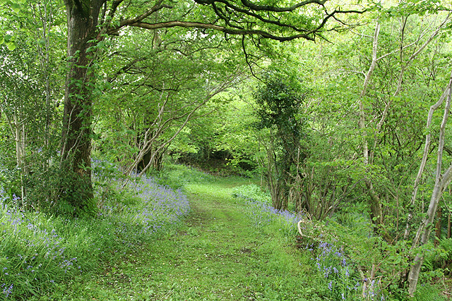
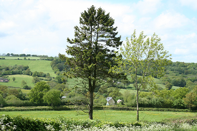
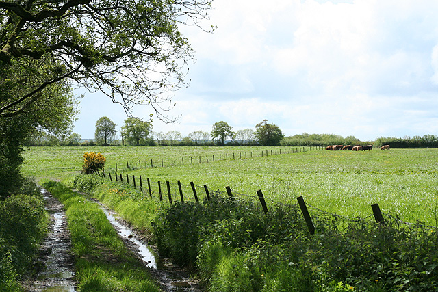
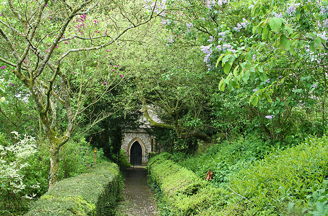
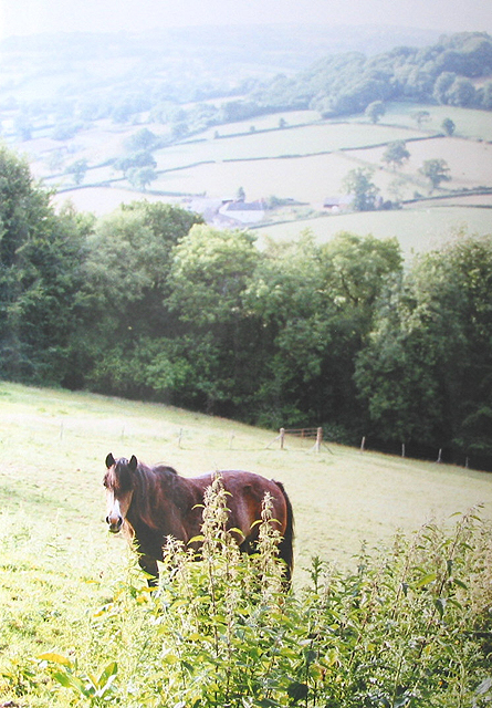
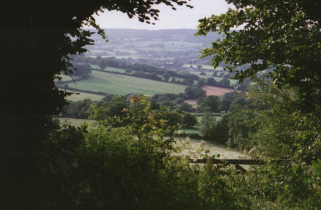
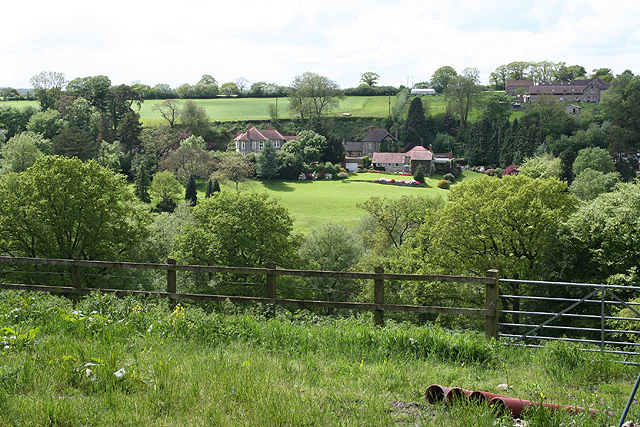
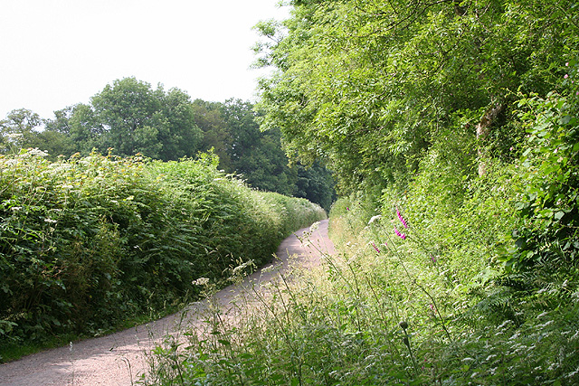
Oxenlea Copse is a picturesque woodland located in Devon, a county in southwestern England. This enchanting forest covers an area of approximately 20 acres and is renowned for its natural beauty and diverse ecosystem. Nestled amidst the rolling hills and valleys of the Devon countryside, it offers a tranquil escape for nature enthusiasts and outdoor adventurers alike.

The copse is predominantly composed of native deciduous trees, including oak, ash, beech, and birch. These towering giants form a dense canopy that filters sunlight, creating a cool and shaded environment below. The forest floor is adorned with a rich carpet of wildflowers, ferns, and mosses, further adding to its ethereal charm.

Various species of wildlife call Oxenlea Copse their home. Birdwatchers can spot a plethora of avian species, such as woodpeckers, thrushes, and owls, flitting amongst the branches. Squirrels scamper along the tree trunks, while small mammals like voles and shrews scurry about the undergrowth. The occasional deer can also be glimpsed gracefully traversing through the woodlands.

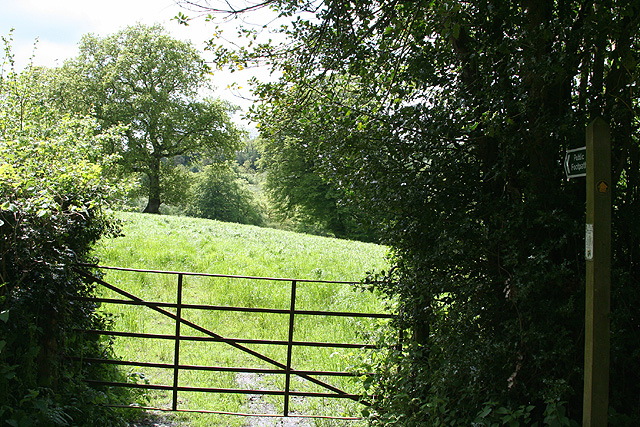
Visitors to Oxenlea Copse can explore its numerous walking trails, which wind through the forest and offer glimpses of breathtaking vistas. The paths are well-maintained, ensuring easy accessibility for all. Nature lovers can immerse themselves in the peaceful ambiance, listen to the melodious songs of the birds, and breathe in the refreshing scent of the woodland.

Oxenlea Copse is a true gem of Devon, showcasing the region's natural wonders and providing a serene retreat for those seeking solace in the beauty of nature.

If you have any feedback on the listing, please let us know in the comments section below.

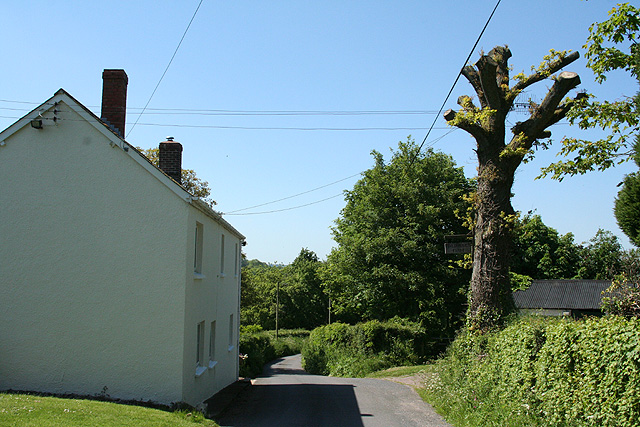
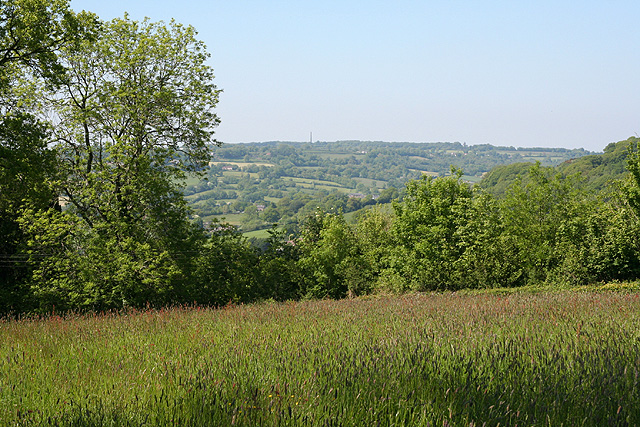
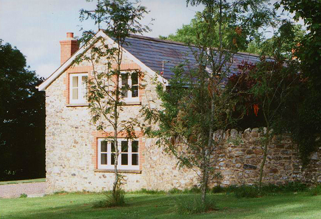
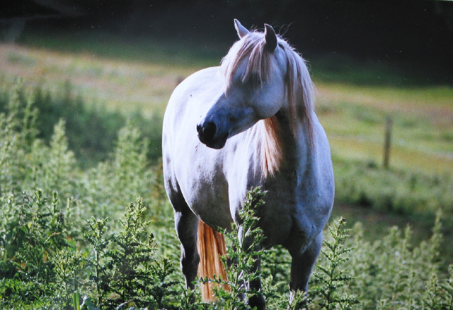
Oxenlea Copse Images

Images are sourced within 2km of 50.887701/-3.2141112 or Grid Reference ST1410. Thanks to Geograph Open Source API. All images are credited.
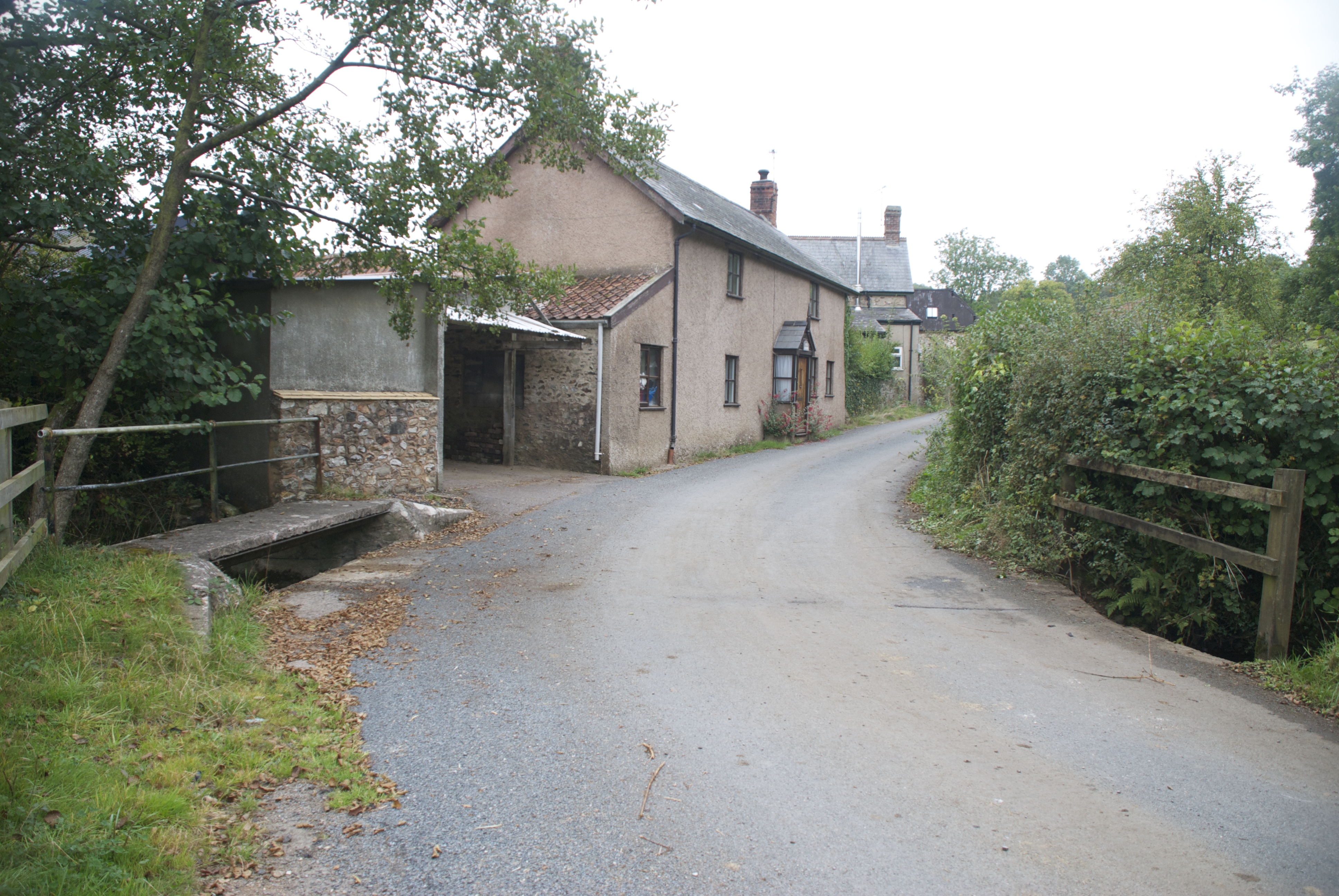
Hemyock: bluebell walk In the private grounds of Pikes Cottage at Madford where 19 acres of woods and 6 acres of cultivated garden are open to members of the public on certain summer weekends under The National Gardens Scheme - gardens open for charity. The Times featured the estate in 2004. Looking south
Hemyock: bluebell walk
In the private grounds of Pikes Cottage at Madford where 19 acres of woods and 6 acres of cultivated garden are open to members of the public on certain summer weekends under The National Gardens Scheme - gardens open for charity. The Times featured the estate in 2004. Looking south
Hemyock: Scaddings Prings and Scaddings was site of an 18th century tannery:
‘Devonshire. To be Let for a Term of 7 or 14 years, and entered upon immediately, all that Meffuage and Tenement called by the name of Prings and Scaddings, lately in the possession of Mr Clement Waldron, fituate at Madford, in the parifh of Hemiock .. comprifing of a Dwelling-houfe, Barn, and Outbuildings, and about twenty five acres of very good Orchard, Meadow and Pasture Land, well fituated for a Tannery, that Bufinefs having recently been carried on there ..’
[Exeter Flying Post 2 June 1796 p 2 col 3]. Situated by the Madford Water, a tributary of the Culm, and just downstream from Dunkeswell Abbey, it is very possible that there was originally a medieval tannery associated with the abbey here. Looking west-north-west
Hemyock: Scaddings
Prings and Scaddings was site of an 18th century tannery: ‘Devonshire. To be Let for a Term of 7 or 14 years, and entered upon immediately, all that Meffuage and Tenement called by the name of Prings and Scaddings, lately in the possession of Mr Clement Waldron, fituate at Madford, in the parifh of Hemiock .. comprifing of a Dwelling-houfe, Barn, and Outbuildings, and about twenty five acres of very good Orchard, Meadow and Pasture Land, well fituated for a Tannery, that Bufinefs having recently been carried on there ..’ [Exeter Flying Post 2 June 1796 p 2 col 3]. Situated by the Madford Water, a tributary of the Culm, and just downstream from Dunkeswell Abbey, it is very possible that there was originally a medieval tannery associated with the abbey here. Looking west-north-west
Dunkeswell: Madford valley Looking west-north-west from an entrance to Abbotsford Farm. The Dunkeswell Abbey site lies a little upstream to the left of shot
Dunkeswell: Madford valley
Looking west-north-west from an entrance to Abbotsford Farm. The Dunkeswell Abbey site lies a little upstream to the left of shot
Dunkeswell: on Madford Hill Looking south west. Typical landscape on the Blackdown Hills
Dunkeswell: on Madford Hill
Looking south west. Typical landscape on the Blackdown Hills
Dunkeswell: Abbey With remains of the Cistercian abbey beyond the MPV. Beyond the white gates a path leads to the church of the Holy Trinity
Dunkeswell: Abbey
With remains of the Cistercian abbey beyond the MPV. Beyond the white gates a path leads to the church of the Holy Trinity
Dunkeswell: church path By the site of Dunkeswell Abbey, the path leads to the church of the Holy Trinity. Looking east-north-east
Dunkeswell: church path
By the site of Dunkeswell Abbey, the path leads to the church of the Holy Trinity. Looking east-north-east
Dunkeswell: footpath to Stentwood Looking south west from the lane between Dunkeswell Abbey and Dunkeswell village
Dunkeswell: footpath to Stentwood
Looking south west from the lane between Dunkeswell Abbey and Dunkeswell village
Dunkeswell: on Collard Hill Gathering hay for silage. The tractor is pulling a new trailer with its own feed device. Useful. But it means that the tractor needs to empty the trailer after no more than a lap of an average-sized field, which is fine if the silage storage facility is near at hand. Looking east-south-east with Abbey Hill – above Dunkeswell Abbey – on the skyline
Dunkeswell: on Collard Hill
Gathering hay for silage. The tractor is pulling a new trailer with its own feed device. Useful. But it means that the tractor needs to empty the trailer after no more than a lap of an average-sized field, which is fine if the silage storage facility is near at hand. Looking east-south-east with Abbey Hill – above Dunkeswell Abbey – on the skyline
Hemyock: towards Bolham Farm Seen from the lane by Five Bridges Farm. Looking north east
Hemyock: towards Bolham Farm
Seen from the lane by Five Bridges Farm. Looking north east
Hemyock: Five Bridges Farm Looking north west. Note the TV aerial positioned in the tree across the road for better reception
Hemyock: Five Bridges Farm
Looking north west. Note the TV aerial positioned in the tree across the road for better reception
Hemyock: near Crockers Farm Looking north-north-west over the Culm valley to the Wellington Monument, just visible on the skyline
Hemyock: near Crockers Farm
Looking north-north-west over the Culm valley to the Wellington Monument, just visible on the skyline
Medlar Cottage, Lemons Hill Farm One of 3 cottages in this lovely spot near Hemyock.
Medlar Cottage, Lemons Hill Farm
One of 3 cottages in this lovely spot near Hemyock.
White coat I don't think the horses see too many people - this one always came to have a nosey when we walked past on our way to Lemons Hill Farm.
White coat
I don't think the horses see too many people - this one always came to have a nosey when we walked past on our way to Lemons Hill Farm.
Grazing land near Lemons Hill Farm A steep slope but the horse would come up and see us every day.
Grazing land near Lemons Hill Farm
A steep slope but the horse would come up and see us every day.
View from Lemons Hill Farm
Dunkeswell: towards Stentwood Seen from the lane by Higher Musgrove. Looking west across the upper Madford valley
Dunkeswell: towards Stentwood
Seen from the lane by Higher Musgrove. Looking west across the upper Madford valley
Dunkeswell: near Bowerhayes Looking east over typical upland Blackdown landscape
Dunkeswell: near Bowerhayes
Looking east over typical upland Blackdown landscape
Dunkeswell: the lane to Dunkeswell Abbey Looking north in the direction of Park Farm
Dunkeswell: the lane to Dunkeswell Abbey
Looking north in the direction of Park Farm
Show me another place!

Oxenlea Copse is located at Grid Ref: ST1410 (Lat: 50.887701, Lng: -3.2141112)

Administrative County: Devon

District: Mid Devon

Police Authority: Devon and Cornwall

What 3 Words

///camera.reset.reefs. Near Dunkeswell, Devon

Related Wikis

Abbey, Devon

Abbey is a hamlet in the English county of Devon. It is located in the Blackdown Hills, a group of hills that border both Devon and Somerset. Dunkeswell...

Dunkeswell

Dunkeswell is a village and civil parish in East Devon, England, located about 5 miles (8.0 km) north of the town of Honiton. At the 2001 census, the...

Hemyock Castle

Hemyock Castle is a ruined 14th-century castle in the village of Hemyock, Devon, England. It was built by Sir William Asthorpe after 1380 to a quadrangular...

Goodleigh, Mid Devon

Goodleigh is a village about 1 km northeast of Bodmiscombe in the county of Devon, England.The origin of the place-name is from the Old English words Goda...

Nearby Amenities

Located within 500m of 50.887701,-3.2141112
Power: pole
Source: bing
Lat/Long: 50.8901216/-3.2093409
Power: pole
Source: bing
Lat/Long: 50.8907687/-3.2104942
Power: pole
Source: bing
Lat/Long: 50.8913956/-3.2115966
Power: pole
Source: bing
Lat/Long: 50.891959/-3.2126038
Power: pole
Source: bing
Transformer: distribution
Lat/Long: 50.892102/-3.2141072
Power: pole
Source: bing
Transformer: distribution
Lat/Long: 50.8884888/-3.2211171
Power: pole
Source: bing
Lat/Long: 50.8888027/-3.2198645
Power: pole
Source: bing
Lat/Long: 50.8911308/-3.2183558
Power: pole
Source: bing
Lat/Long: 50.8901055/-3.2185167
Power: pole
Source: bing
Transformer: distribution
Lat/Long: 50.888383/-3.2163066
Power: pole
Source: bing
Lat/Long: 50.8880505/-3.2175913
Power: pole
Source: bing
Lat/Long: 50.8891191/-3.2186776
Power: pole
Source: bing
Lat/Long: 50.8881411/-3.2188131
Power: pole
Source: bing
Lat/Long: 50.8873187/-3.2188453
Power: pole
Source: bing
Lat/Long: 50.8865235/-3.2188708
Power: pole
Source: bing
Lat/Long: 50.8858077/-3.217763
Power: pole
Source: bing
Transformer: distribution
Lat/Long: 50.8840301/-3.214071
Power: pole
Source: bing
Lat/Long: 50.8848609/-3.2163039
Power: pole
Source: bing
Lat/Long: 50.8852891/-3.2169637
Power: pole
Source: bing
Lat/Long: 50.8844015/-3.2155441
Power: pole
Source: bing
Lat/Long: 50.8837517/-3.2162328
The data included in this document is from www.openstreetmap.org. The data is made available under ODbL.

Have you been to Oxenlea Copse?

Leave your review of Oxenlea Copse below (or comments, questions and feedback).