Collinshayne Copse
Wood, Forest in Devon Mid Devon
England
Collinshayne Copse

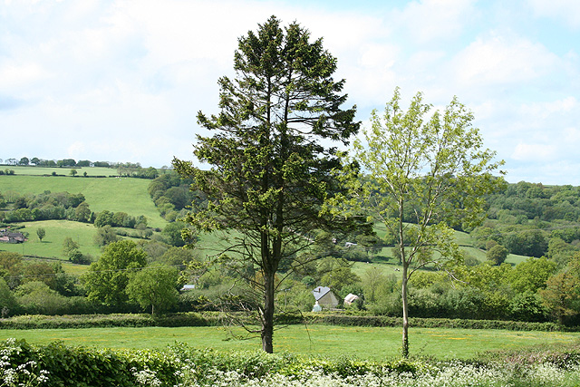
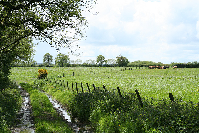
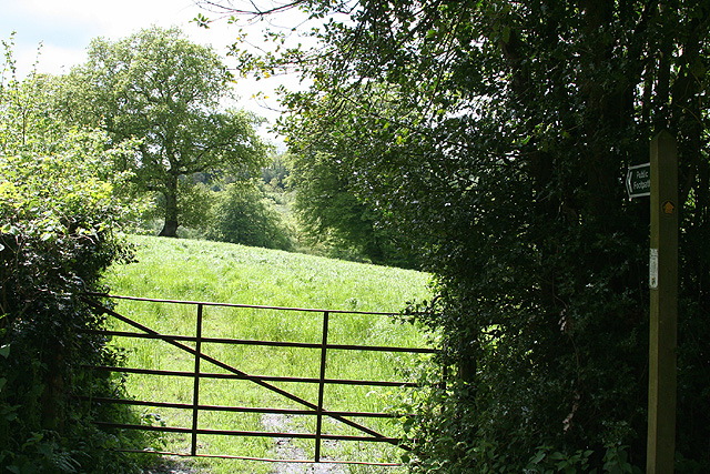
Collinshayne Copse is a picturesque woodland located in Devon, England. Situated just outside the quaint village of Collinshayne, the copse encompasses an area of approximately 50 acres, making it a significant natural feature in the region. The copse is part of a larger forested area and is well-known for its diverse range of flora and fauna.
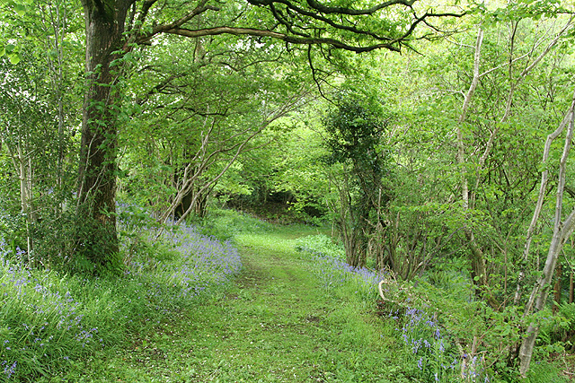
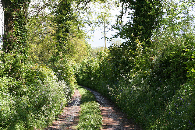
The woodland is predominantly made up of mature oak trees, their towering branches providing a dense canopy that filters the sunlight, creating a tranquil and shaded environment below. The forest floor is covered in a thick carpet of moss, ferns, and wildflowers, adding to the copse's natural beauty. Walking through the copse, visitors can enjoy the peaceful sounds of birdsong and the occasional rustling of small mammals.
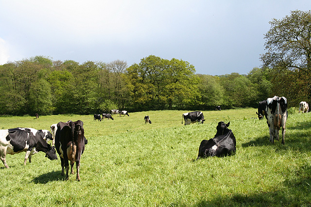
Collinshayne Copse is also home to a variety of wildlife. Deer, foxes, and badgers are frequently spotted, and the copse is a haven for birdwatchers, with species such as woodpeckers, owls, and thrushes making their home in the trees. The copse is also a popular destination for nature enthusiasts and hikers, who can explore the numerous walking trails and experience the copse's tranquil atmosphere.
The copse is accessible through a well-maintained footpath that winds its way through the woodland, offering visitors the opportunity to immerse themselves in the natural surroundings. There are also designated picnic areas and seating scattered throughout the copse, providing a perfect spot for visitors to relax and enjoy the peaceful ambiance.
In conclusion, Collinshayne Copse is a beautiful woodland in Devon, offering visitors a chance to escape the hustle and bustle of daily life and connect with nature. Its diverse range of flora and fauna, combined with its tranquil atmosphere, makes it a must-visit destination for nature lovers and outdoor enthusiasts.
If you have any feedback on the listing, please let us know in the comments section below.
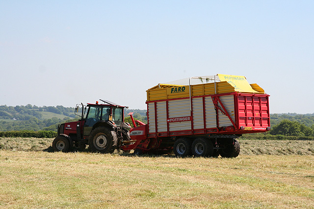
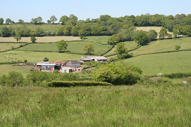
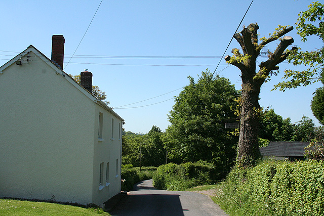
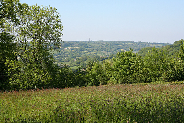
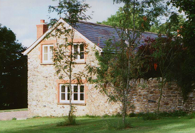
Collinshayne Copse Images
Images are sourced within 2km of 50.897643/-3.211085 or Grid Reference ST1411. Thanks to Geograph Open Source API. All images are credited.
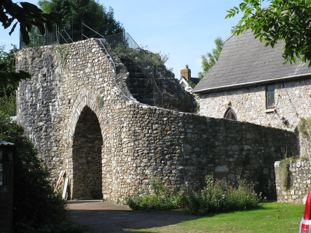
![Hemyock: Scaddings Prings and Scaddings was site of an 18th century tannery:
‘Devonshire. To be Let for a Term of 7 or 14 years, and entered upon immediately, all that Meffuage and Tenement called by the name of Prings and Scaddings, lately in the possession of Mr Clement Waldron, fituate at Madford, in the parifh of Hemiock .. comprifing of a Dwelling-houfe, Barn, and Outbuildings, and about twenty five acres of very good Orchard, Meadow and Pasture Land, well fituated for a Tannery, that Bufinefs having recently been carried on there ..’
[Exeter Flying Post 2 June 1796 p 2 col 3]. Situated by the Madford Water, a tributary of the Culm, and just downstream from Dunkeswell Abbey, it is very possible that there was originally a medieval tannery associated with the abbey here. Looking west-north-west](https://s2.geograph.org.uk/photos/17/31/173150_7234de17.jpg)


Collinshayne Copse is located at Grid Ref: ST1411 (Lat: 50.897643, Lng: -3.211085)
Administrative County: Devon
District: Mid Devon
Police Authority: Devon and Cornwall
What 3 Words
///bronzed.walled.adventure. Near Hemyock, Devon
Nearby Locations
Related Wikis
Abbey, Devon
Abbey is a hamlet in the English county of Devon. It is located in the Blackdown Hills, a group of hills that border both Devon and Somerset. Dunkeswell...
Hemyock Castle
Hemyock Castle is a ruined 14th-century castle in the village of Hemyock, Devon, England. It was built by Sir William Asthorpe after 1380 to a quadrangular...
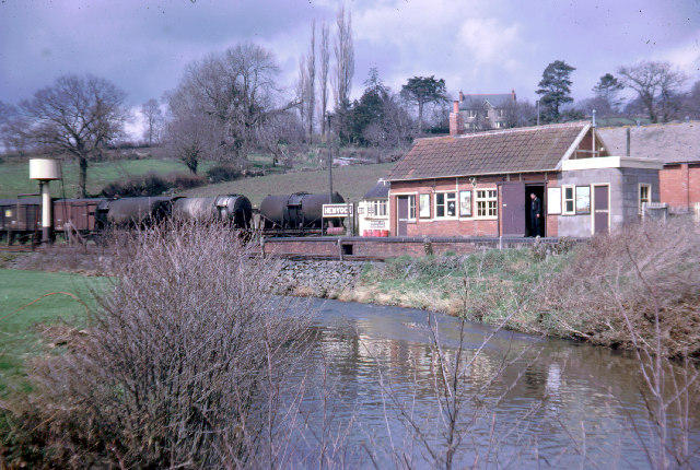
Hemyock railway station
Hemyock railway station served the village of Hemyock, Devon, England, from 1876 to 1963 on the Culm Valley Light Railway. == History == The station was...

Hemyock
Hemyock () is a village and civil parish in Devon, England. It is about 8 miles north-west of Honiton and 5 miles (8 km) south of the Somerset town of...
Nearby Amenities
Located within 500m of 50.897643,-3.211085Have you been to Collinshayne Copse?
Leave your review of Collinshayne Copse below (or comments, questions and feedback).