Gatchell Moor Copse
Wood, Forest in Devon East Devon
England
Gatchell Moor Copse
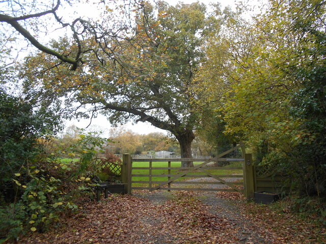
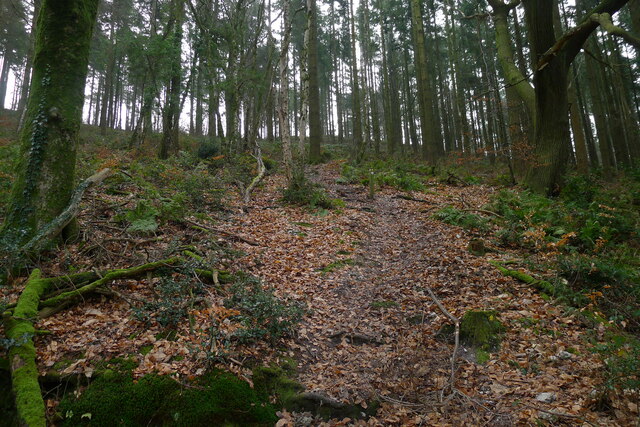
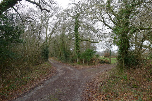
Gatchell Moor Copse is a picturesque woodland located in Devon, England. Situated in the heart of the Devonshire countryside, this copse is a haven for nature enthusiasts and outdoor lovers alike. With its diverse range of flora and fauna, it offers a tranquil and immersive experience for visitors.
Covering an area of approximately 50 acres, Gatchell Moor Copse is primarily made up of deciduous trees such as oak, beech, and birch. The varying shades of green and vibrant autumnal colors make it a visually captivating sight throughout the year. The forest floor is adorned with an array of wildflowers, ferns, and moss, creating a rich tapestry of colors and textures.
The copse is home to a plethora of wildlife, including deer, squirrels, and a wide variety of bird species. Birdwatchers can spot woodpeckers, robins, and thrushes, among others, while explorers may come across the occasional badger sett or rabbit warren.
Several well-maintained trails wind through the copse, allowing visitors to explore its beauty at their own pace. These paths are perfect for leisurely strolls, jogging, or even dog walking. The peaceful atmosphere and the soothing sounds of chirping birds and rustling leaves make it a popular spot for relaxation and mindfulness.
Gatchell Moor Copse is truly a hidden gem in the Devon countryside, offering a delightful escape from the hustle and bustle of modern life. Whether you're a nature lover seeking solace or a family looking for an outdoor adventure, this woodland has something to offer for everyone.
If you have any feedback on the listing, please let us know in the comments section below.
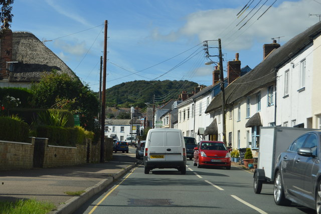
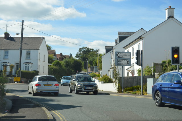
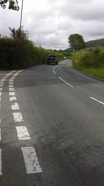
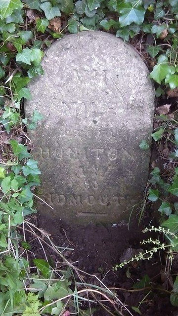
Gatchell Moor Copse Images
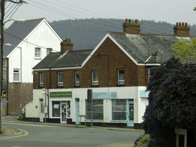
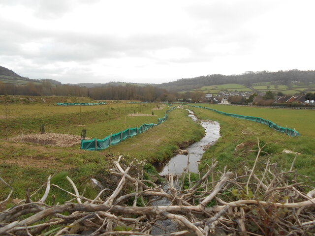
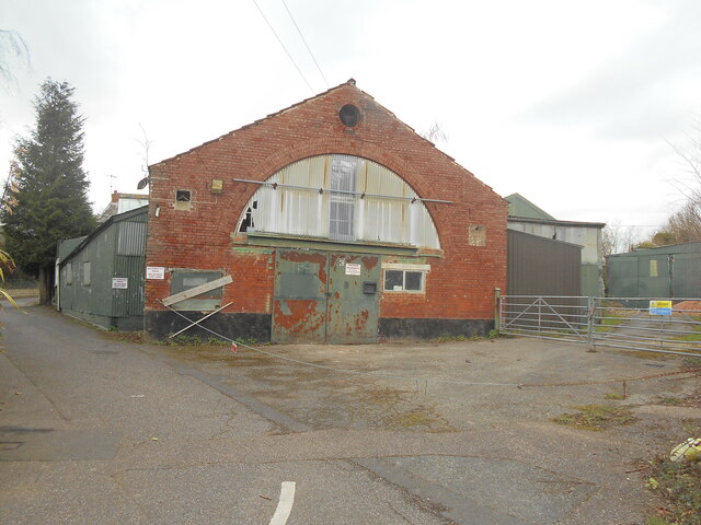
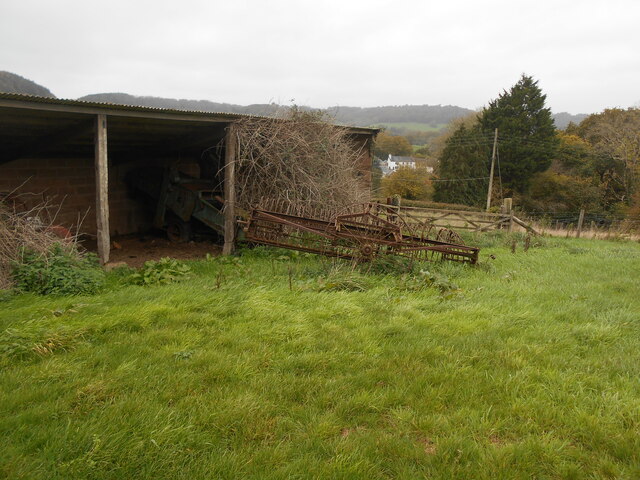
Images are sourced within 2km of 50.702979/-3.2061045 or Grid Reference SY1489. Thanks to Geograph Open Source API. All images are credited.

Gatchell Moor Copse is located at Grid Ref: SY1489 (Lat: 50.702979, Lng: -3.2061045)
Administrative County: Devon
District: East Devon
Police Authority: Devon and Cornwall
What 3 Words
///unite.deals.unspoiled. Near Sidmouth, Devon
Related Wikis

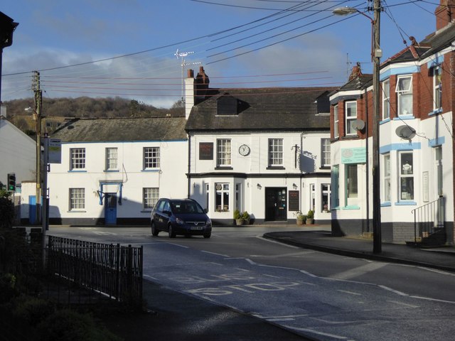
Salcombe Regis
Salcombe Regis is a coastal village and former civil parish, now in the parish of Sidmouth, in the East Devon district, in the county of Devon, England...

The Donkey Sanctuary
The Donkey Sanctuary is a British charitable organisation devoted to the welfare of donkeys. The charity, which is based near Sidmouth in Devon, England...
Sidford
Sidford is a small village in the civil parish of and on the outskirts of the town of Sidmouth in the English county of Devon. It has a population of just...

Norman Lockyer Observatory
The Norman Lockyer Observatory, the Lockyer Technology Centre, and the Planetarium (jointly NLO), is a public access optical observatory 1 mile (1.6 km...
Nearby Amenities
Located within 500m of 50.702979,-3.2061045Have you been to Gatchell Moor Copse?
Leave your review of Gatchell Moor Copse below (or comments, questions and feedback).