Wild Croft Copse
Wood, Forest in Devon Mid Devon
England
Wild Croft Copse

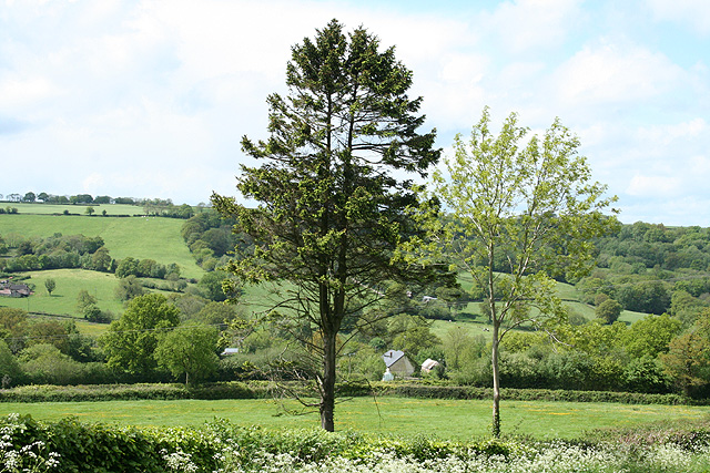
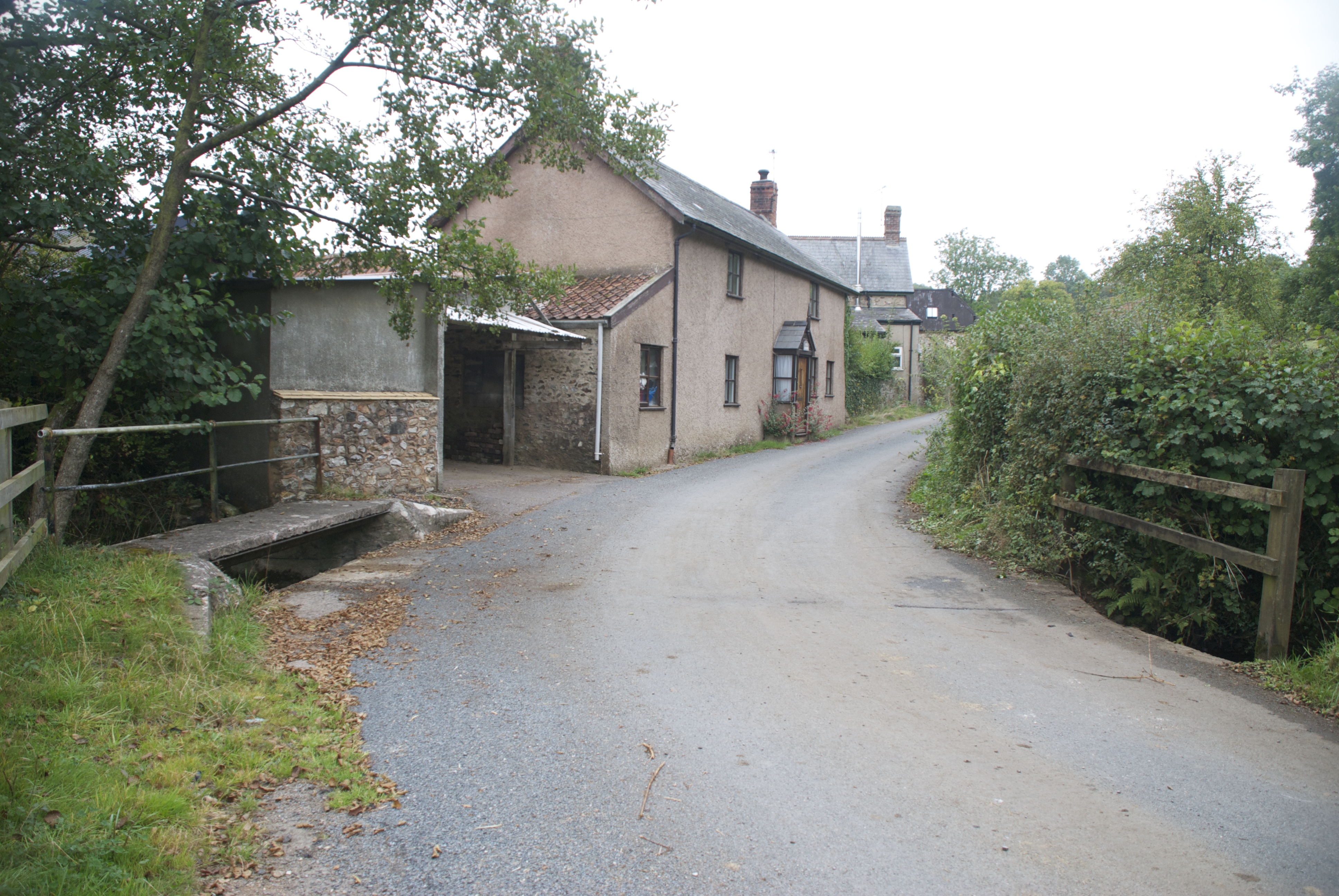
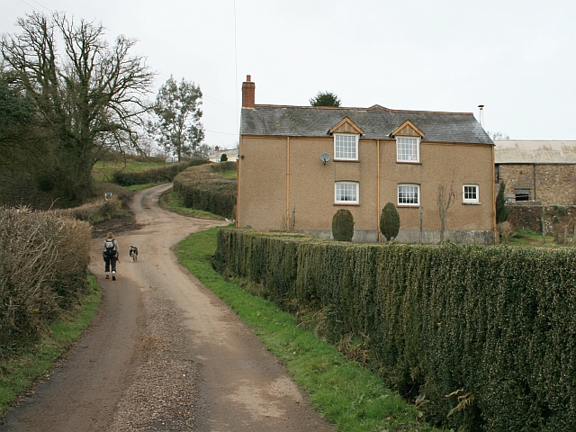
Wild Croft Copse is a picturesque woodland located in Devon, England. Spanning over several acres, this enchanting forest is known for its diverse array of flora and fauna, making it a popular destination for nature lovers and outdoor enthusiasts.
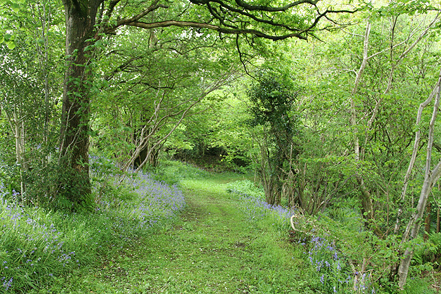
The copse is characterized by its dense canopy of towering trees, including oak, beech, and ash, which provide a cool and shaded environment even on the warmest of days. The forest floor is covered in a thick layer of leaf litter, creating a soft and silent carpet that invites visitors to explore its hidden treasures.
Throughout the copse, there are numerous walking trails and pathways that wind their way through the trees, offering visitors the opportunity to immerse themselves in the natural beauty of the area. Along these trails, one may encounter a variety of wildlife, such as deer, foxes, and a wide range of bird species, including woodpeckers and owls.
One of the highlights of Wild Croft Copse is its vibrant display of wildflowers. During the spring and summer months, the forest comes alive with a riot of colors as bluebells, primroses, and wild orchids bloom in abundance.
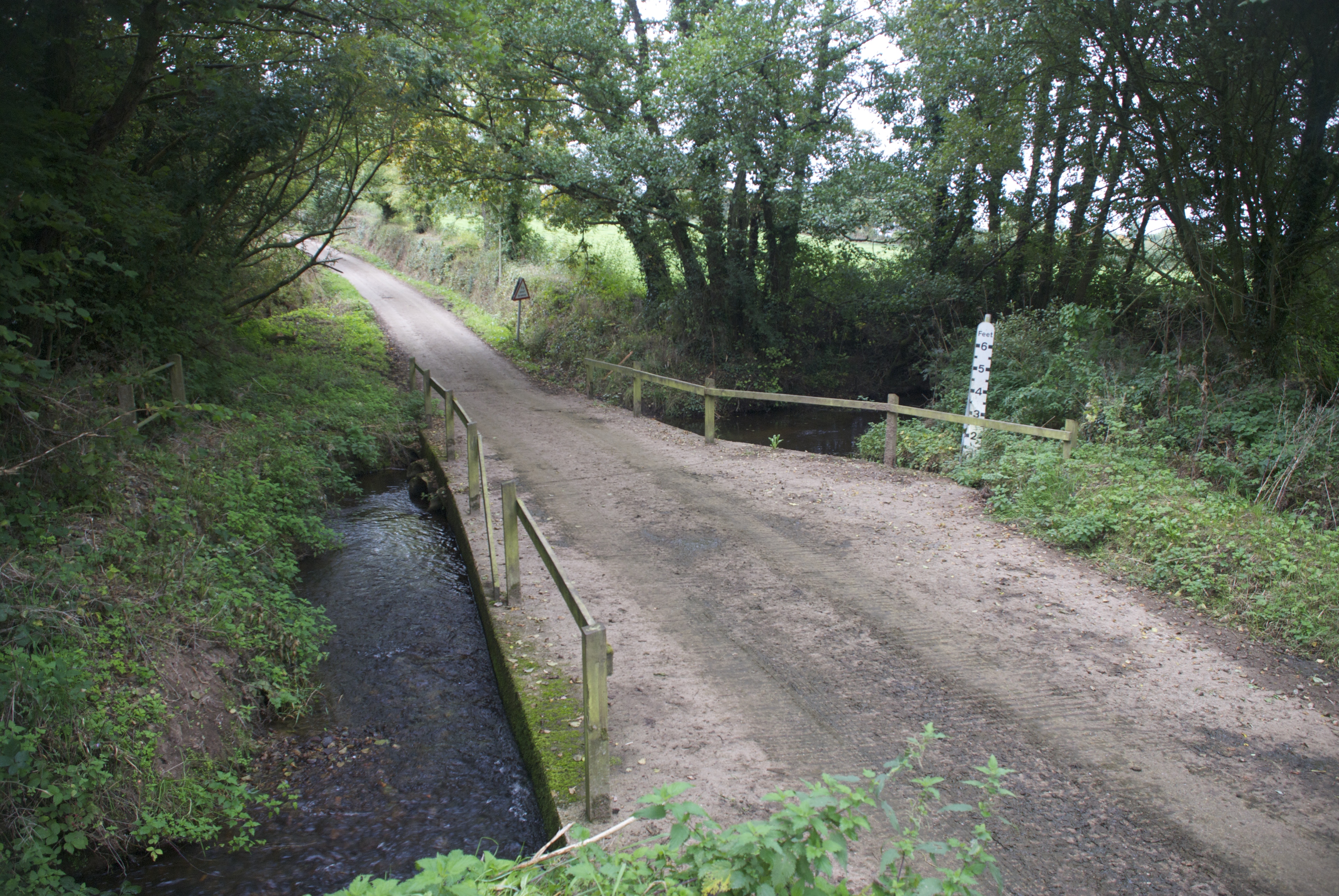
The copse also boasts a small stream that meanders through its heart, adding to its charm and tranquility. The sound of running water creates a soothing atmosphere, providing a perfect backdrop for those seeking a peaceful retreat from the hustle and bustle of everyday life.
Overall, Wild Croft Copse is a hidden gem in Devon, offering visitors a chance to reconnect with nature and discover the wonders of a truly wild and untouched forest.
If you have any feedback on the listing, please let us know in the comments section below.
Wild Croft Copse Images
Images are sourced within 2km of 50.898746/-3.2217079 or Grid Reference ST1411. Thanks to Geograph Open Source API. All images are credited.


![Hemyock: Scaddings Prings and Scaddings was site of an 18th century tannery:
‘Devonshire. To be Let for a Term of 7 or 14 years, and entered upon immediately, all that Meffuage and Tenement called by the name of Prings and Scaddings, lately in the possession of Mr Clement Waldron, fituate at Madford, in the parifh of Hemiock .. comprifing of a Dwelling-houfe, Barn, and Outbuildings, and about twenty five acres of very good Orchard, Meadow and Pasture Land, well fituated for a Tannery, that Bufinefs having recently been carried on there ..’
[Exeter Flying Post 2 June 1796 p 2 col 3]. Situated by the Madford Water, a tributary of the Culm, and just downstream from Dunkeswell Abbey, it is very possible that there was originally a medieval tannery associated with the abbey here. Looking west-north-west](https://s2.geograph.org.uk/photos/17/31/173150_7234de17.jpg)
Wild Croft Copse is located at Grid Ref: ST1411 (Lat: 50.898746, Lng: -3.2217079)
Administrative County: Devon
District: Mid Devon
Police Authority: Devon and Cornwall
What 3 Words
///ditching.flood.recur. Near Hemyock, Devon
Nearby Locations
Related Wikis
Abbey, Devon
Abbey is a hamlet in the English county of Devon. It is located in the Blackdown Hills, a group of hills that border both Devon and Somerset. Dunkeswell...
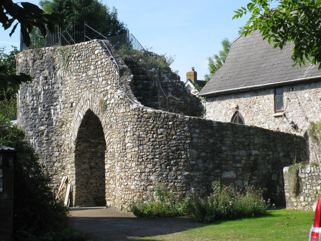
Hemyock Castle
Hemyock Castle is a ruined 14th-century castle in the village of Hemyock, Devon, England. It was built by Sir William Asthorpe after 1380 to a quadrangular...

Hemyock
Hemyock () is a village and civil parish in Devon, England. It is about 8 miles north-west of Honiton and 5 miles (8 km) south of the Somerset town of...
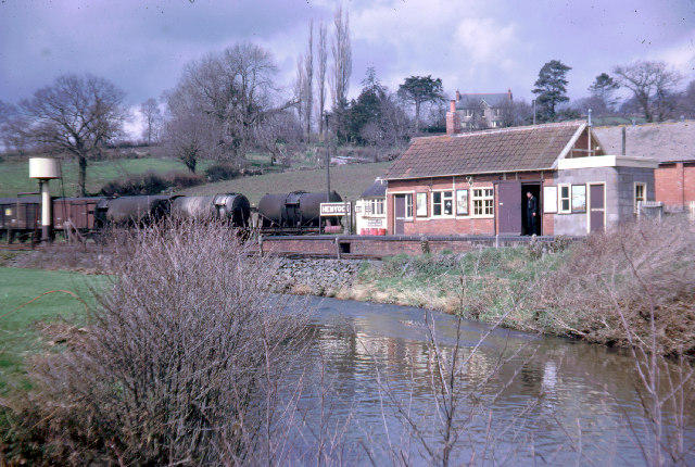
Hemyock railway station
Hemyock railway station served the village of Hemyock, Devon, England, from 1876 to 1963 on the Culm Valley Light Railway. == History == The station was...

Whitehall Halt railway station
Whitehall Halt railway station existed on the Culm Valley Light Railway in Devon, England, from 1933 to 1963. == History == The station was opened on 27...
Goodleigh, Mid Devon
Goodleigh is a village about 1 km northeast of Bodmiscombe in the county of Devon, England.The origin of the place-name is from the Old English words Goda...
Ashculme
Ashculme is a village in Devon, England.

Culm Davy
Culm Davy is a historic manor and present-day hamlet within the parish of Hemyock in Devon. == History == The estate of Cumbe is listed in the Domesday...
Nearby Amenities
Located within 500m of 50.898746,-3.2217079Have you been to Wild Croft Copse?
Leave your review of Wild Croft Copse below (or comments, questions and feedback).