Ash Wood

Wood, Forest in Somerset Somerset West and Taunton

England

Ash Wood

Ash Priors: Ash Common Aid from English Nature’s Wildspace Grant assists the local council manage the common, which was made a Local Nature Reserve in 1995. Plants such as Devil’s Bit Scabious, Heath and Common Spotted Orchid, Lousewort, Milkwort and Purple Moor Grass grow here
Ash Priors: Ash Common Credit: Martin Bodman

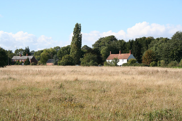
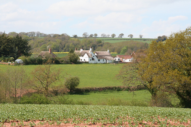
Ash Wood is a picturesque forest located in Somerset, England. It covers an area of approximately 200 acres and is known for its dense growth of ash trees, from which it derives its name. The wood is situated in a rural area, surrounded by rolling hills and fields, creating a tranquil and idyllic setting.

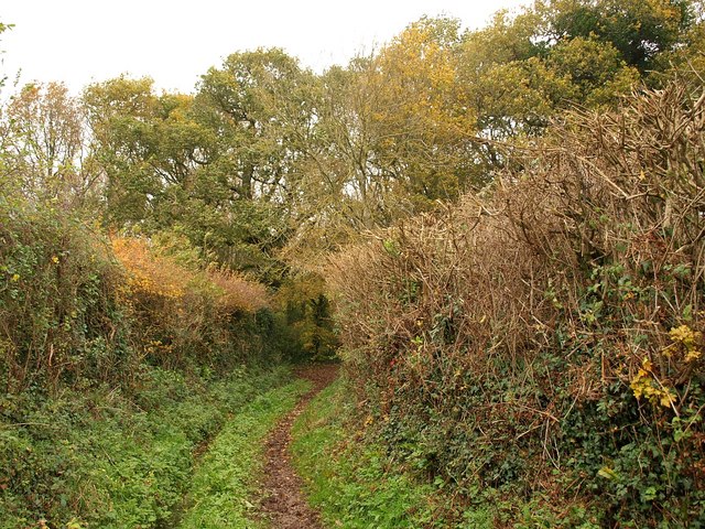
The forest is easily accessible, with several footpaths and trails winding through the trees, making it a popular destination for nature lovers, hikers, and bird watchers. The dense canopy created by the ash trees provides a cool and shaded environment, particularly during the summer months, making it a pleasant place to escape the heat.

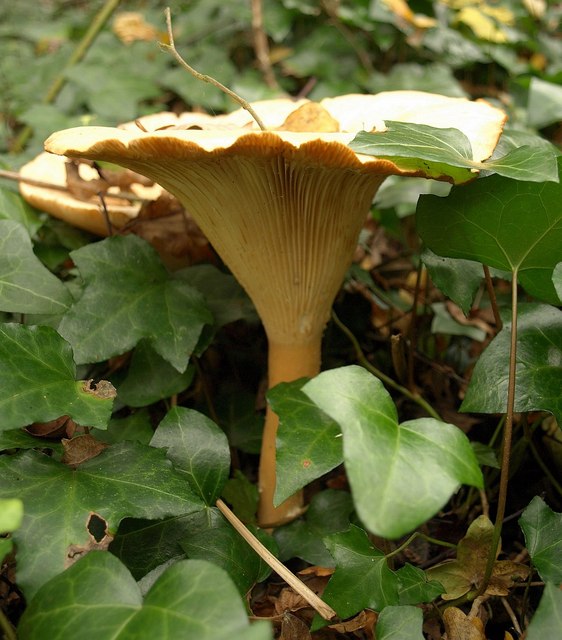
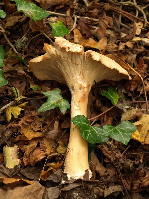
Ash Wood is home to a diverse range of wildlife. Visitors may spot various bird species, including woodpeckers, owls, and songbirds, as well as small mammals such as squirrels and rabbits. The forest floor is also adorned with a carpet of wildflowers during the springtime, adding a burst of color to the surroundings.

The wood has a rich history, with evidence of human activity dating back centuries. It is believed to have been used for timber production in the past, and remnants of old sawmills and charcoal pits can still be found within the forest. Today, however, it is primarily managed for conservation purposes, ensuring the preservation of its natural beauty and biodiversity.

Overall, Ash Wood offers a peaceful retreat from the hustle and bustle of everyday life, allowing visitors to immerse themselves in the beauty of nature and explore the rich history of the area.

If you have any feedback on the listing, please let us know in the comments section below.
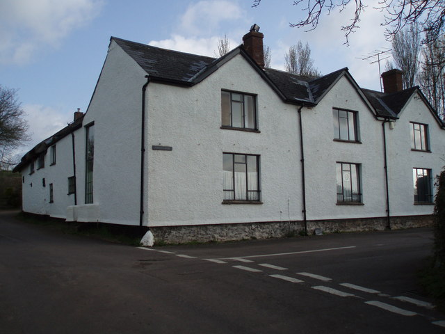
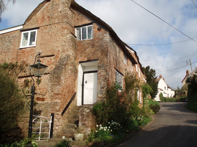
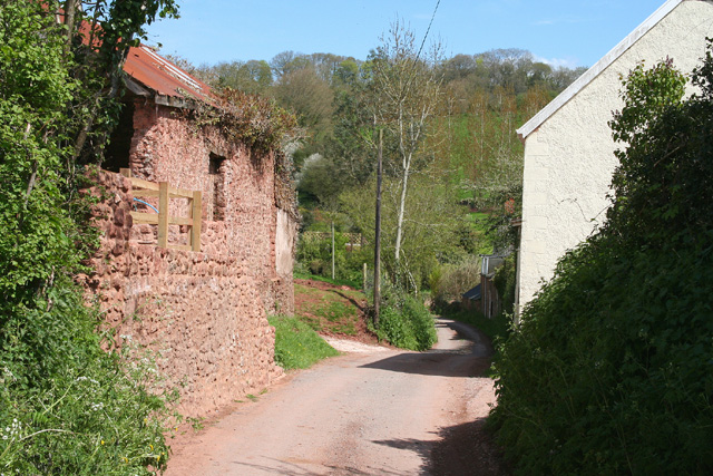
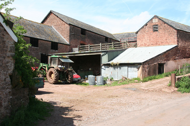
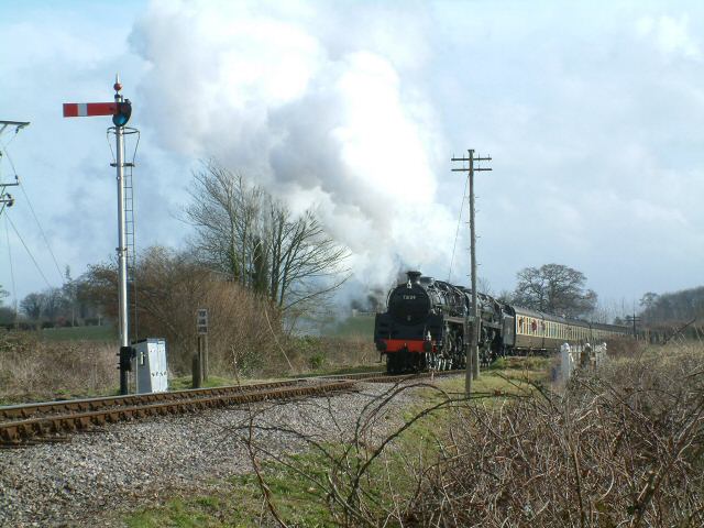
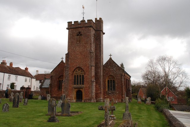
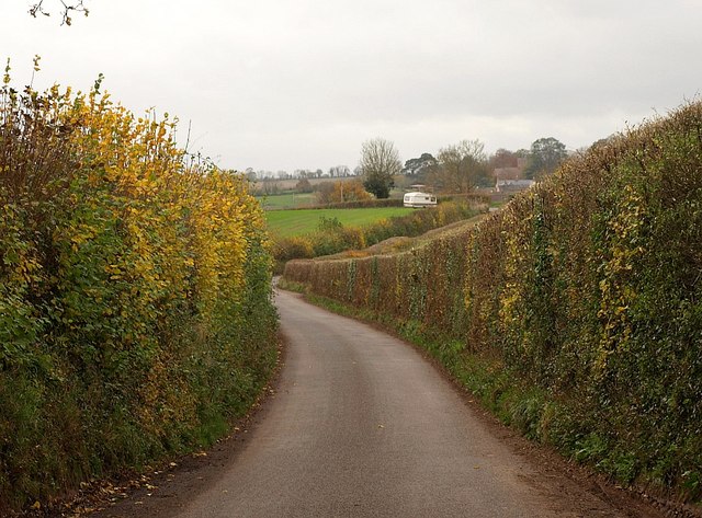
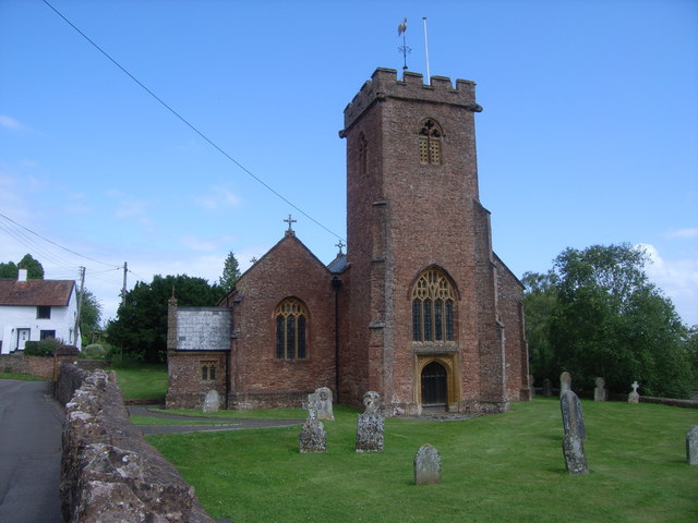
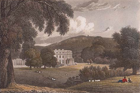
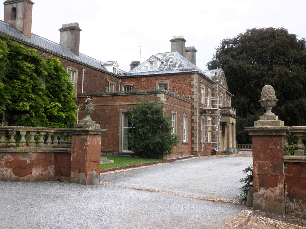
Ash Wood Images

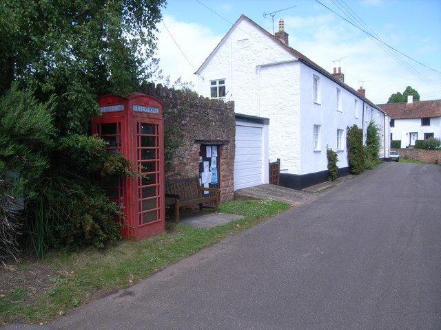
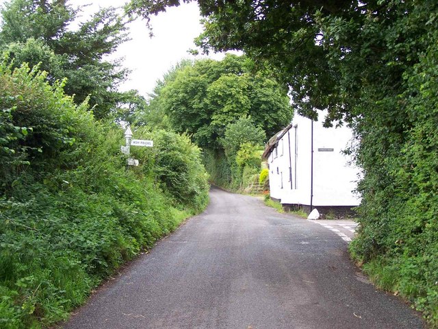
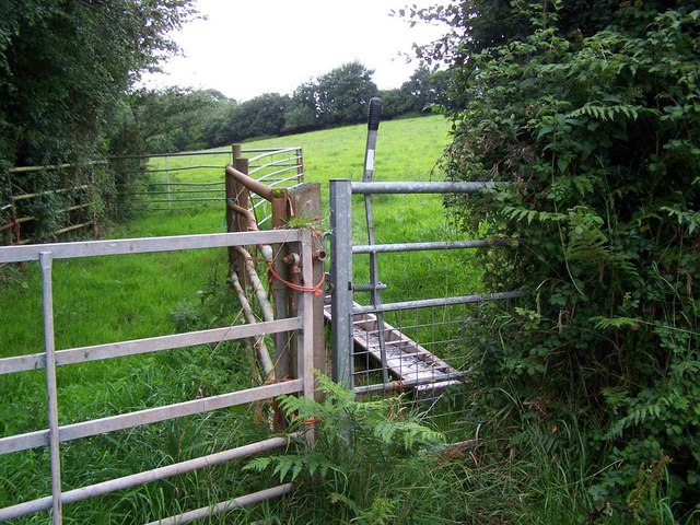
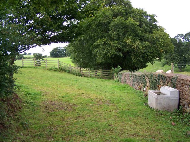
Images are sourced within 2km of 51.064564/-3.2258406 or Grid Reference ST1430. Thanks to Geograph Open Source API. All images are credited.

Ash Priors: Ash Common Aid from English Nature’s Wildspace Grant assists the local council manage the common, which was made a Local Nature Reserve in 1995. Plants such as Devil’s Bit Scabious, Heath and Common Spotted Orchid, Lousewort, Milkwort and Purple Moor Grass grow here
Ash Priors: Ash Common
Aid from English Nature’s Wildspace Grant assists the local council manage the common, which was made a Local Nature Reserve in 1995. Plants such as Devil’s Bit Scabious, Heath and Common Spotted Orchid, Lousewort, Milkwort and Purple Moor Grass grow here
Former Inn? This large house on the edge of Ash Priors could well have been the Inn marked on old maps.
Former Inn?
This large house on the edge of Ash Priors could well have been the Inn marked on old maps.
Ash Priors An idyllic village street scene. Perhaps one day the numerous electricity wires can be buried underground.
Ash Priors
An idyllic village street scene. Perhaps one day the numerous electricity wires can be buried underground.
Bishop’s Lydeard: towards Lower Stoford Looking north west from near the entrance to Hopkins Farm. (Lower Stoford is at ST14452877)
Bishop’s Lydeard: towards Lower Stoford
Looking north west from near the entrance to Hopkins Farm. (Lower Stoford is at ST14452877)
Lydeard St Lawrence: Chapel Leigh Chapel Leigh is a hamlet consisting of two farms and a number of cottages. Looking east-north-east
Lydeard St Lawrence: Chapel Leigh
Chapel Leigh is a hamlet consisting of two farms and a number of cottages. Looking east-north-east
Halse: barns at Northway Farm Looking north-north-west
Halse: barns at Northway Farm
Looking north-north-west
Whiskey Trail Crossing Sandy Lane is a public footpath that links Sandhill Park and Bishops Lydeard. The alternative name of Whiskey Trail came from the American servicemen billeted in the grounds of the Park during WW2. It crosses the West Somerset Railway as shown in the picture.
Whiskey Trail Crossing
Sandy Lane is a public footpath that links Sandhill Park and Bishops Lydeard. The alternative name of Whiskey Trail came from the American servicemen billeted in the grounds of the Park during WW2. It crosses the West Somerset Railway as shown in the picture.
Ash Priors, Holy Trinity Church
Telephone kiosk at Ash Priors This is No 34 of 42 images of BT telephone boxes in Taunton Deane which BT is trying to cull due to their claimed 'lack of use'.
Telephone kiosk at Ash Priors
This is No 34 of 42 images of BT telephone boxes in Taunton Deane which BT is trying to cull due to their claimed 'lack of use'.
Holy Trinity Church, Ash Priors
Lane Junction in Ash Priors
Footpath Near Ash Priors
Footpath, Ash Priors
Byway entering woodland, Ash Priors Common Byway T4/31 twists into woodland as it enters the access land of the common. It then becomes a footpath, T1/12, but Somerset's right of way map indicates that it is to be upgraded to a bridleway.
Byway entering woodland, Ash Priors Common
Byway T4/31 twists into woodland as it enters the access land of the common. It then becomes a footpath, T1/12, but Somerset's right of way map indicates that it is to be upgraded to a bridleway.
Fungus, Ash Priors Common One of several large specimens resembling chanterelles, among ivy near the south edge of the woodland.
Fungus, Ash Priors Common
One of several large specimens resembling chanterelles, among ivy near the south edge of the woodland.
Fungus, Ash Priors Common This uprooted specimen proved an easier subject to photograph than <a href="https://www.geograph.org.uk/photo/1593647">ST1528 : Fungus, Ash Priors Common</a>, although it was in worse condition.
Fungus, Ash Priors Common
This uprooted specimen proved an easier subject to photograph than ST1528 : Fungus, Ash Priors Common, although it was in worse condition.
Signpost, Ash Priors Common Two roads lead to Ash Priors, even though it's not very big. The arm that can't be read, pointing behind the camera, reads "Halse 1 Milverton 3". The post is on a triangle of grass at the southwest corner of the open common. The cottage on the left is in <a href="https://www.geograph.org.uk/gridref/ST1429">ST1429</a>.
Signpost, Ash Priors Common
Two roads lead to Ash Priors, even though it's not very big. The arm that can't be read, pointing behind the camera, reads "Halse 1 Milverton 3". The post is on a triangle of grass at the southwest corner of the open common. The cottage on the left is in ST1429.
Lane to Halse Taken just southwest of West Ash, the lane from Ash Priors Common descends between hedges towards Wick Bridge, where it crosses a tributary of the Halse Water.
Lane to Halse
Taken just southwest of West Ash, the lane from Ash Priors Common descends between hedges towards Wick Bridge, where it crosses a tributary of the Halse Water.
Show me another place!

Ash Wood is located at Grid Ref: ST1430 (Lat: 51.064564, Lng: -3.2258406)

Administrative County: Somerset

District: Somerset West and Taunton

Police Authority: Avon and Somerset

What 3 Words

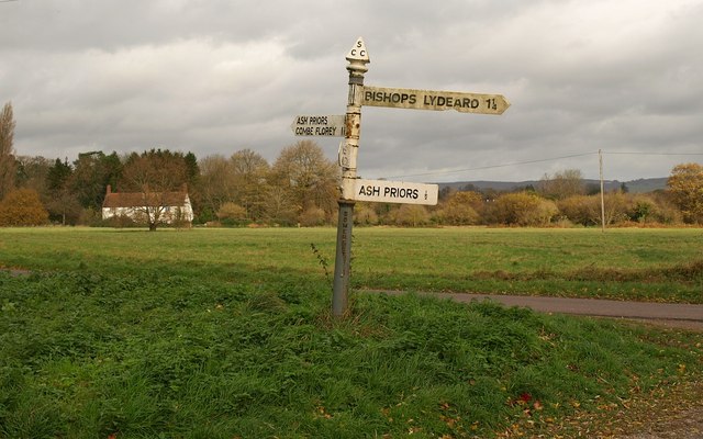
///hiring.radio.lives. Near Bishops Lydeard, Somerset

Nearby Locations

Ash Wood

Related Wikis

Nearby Amenities

Located within 500m of 51.064564,-3.2258406
Brand: National Grid
Brand Wikidata: Q1465461
Colour: gray
Design: three-level
Line Attachment: suspension
Material: metal
Operator: National Grid Electricity Distribution Plc
Operator Old: Western Power Distribution
Operator Wikidata: Q7988183
Owner: National Grid Electricity Distribution (South West) Plc
Owner Wikidata: Q114397866
Power: tower
Source: bing
Structure: lattice
Lat/Long: 51.0619493/-3.2280036
Brand: National Grid
Brand Wikidata: Q1465461
Colour: gray
Design: three-level
Line Attachment: suspension
Material: metal
Operator: National Grid Electricity Distribution Plc
Operator Old: Western Power Distribution
Operator Wikidata: Q7988183
Owner: National Grid Electricity Distribution (South West) Plc
Owner Wikidata: Q114397866
Power: tower
Source: bing
Structure: lattice
Lat/Long: 51.0636706/-3.2307527
Barrier: stile
Lat/Long: 51.0636653/-3.2325325
Brand: National Grid
Brand Wikidata: Q1465461
Material: wood
Operator: National Grid Electricity Distribution Plc
Operator Old: Western Power Distribution
Operator Wikidata: Q7988183
Owner: National Grid Electricity Distribution (South West) Plc
Owner Wikidata: Q114397866
Power: pole
Lat/Long: 51.0658253/-3.2201734
Brand: National Grid
Brand Wikidata: Q1465461
Material: wood
Operator: National Grid Electricity Distribution Plc
Operator Old: Western Power Distribution
Operator Wikidata: Q7988183
Owner: National Grid Electricity Distribution (South West) Plc
Owner Wikidata: Q114397866
Power: pole
Lat/Long: 51.0664402/-3.2216351
Brand: National Grid
Brand Wikidata: Q1465461
Material: wood
Operator: National Grid Electricity Distribution Plc
Operator Old: Western Power Distribution
Operator Wikidata: Q7988183
Owner: National Grid Electricity Distribution (South West) Plc
Owner Wikidata: Q114397866
Power: pole
Lat/Long: 51.0670579/-3.2230828
Brand: National Grid
Brand Wikidata: Q1465461
Design: h-frame
Guyed: yes
Line Management: branch
Material: wood
Operator: National Grid Electricity Distribution Plc
Operator Old: Western Power Distribution
Operator Wikidata: Q7988183
Owner: National Grid Electricity Distribution (South West) Plc
Owner Wikidata: Q114397866
Power: pole
Lat/Long: 51.0676954/-3.224597
Brand: National Grid
Brand Wikidata: Q1465461
Material: wood
Operator: National Grid Electricity Distribution Plc
Operator Old: Western Power Distribution
Operator Wikidata: Q7988183
Owner: National Grid Electricity Distribution (South West) Plc
Owner Wikidata: Q114397866
Power: pole
Lat/Long: 51.0685669/-3.2253549
Brand: National Grid
Brand Wikidata: Q1465461
Material: wood
Operator: National Grid Electricity Distribution Plc
Operator Old: Western Power Distribution
Operator Wikidata: Q7988183
Owner: National Grid Electricity Distribution (South West) Plc
Owner Wikidata: Q114397866
Power: pole
Lat/Long: 51.0688388/-3.2265888
Brand: National Grid
Brand Wikidata: Q1465461
Material: wood
Operator: National Grid Electricity Distribution Plc
Operator Old: Western Power Distribution
Operator Wikidata: Q7988183
Owner: National Grid Electricity Distribution (South West) Plc
Owner Wikidata: Q114397866
Power: pole
Lat/Long: 51.0685102/-3.2263984
Brand: National Grid
Brand Wikidata: Q1465461
Material: wood
Operator: National Grid Electricity Distribution Plc
Operator Old: Western Power Distribution
Operator Wikidata: Q7988183
Owner: National Grid Electricity Distribution (South West) Plc
Owner Wikidata: Q114397866
Power: pole
Lat/Long: 51.0682708/-3.2254154
Brand: National Grid
Brand Wikidata: Q1465461
Line Management: split
Material: wood
Operator: National Grid Electricity Distribution Plc
Operator Old: Western Power Distribution
Operator Wikidata: Q7988183
Owner: National Grid Electricity Distribution (South West) Plc
Owner Wikidata: Q114397866
Power: pole
Lat/Long: 51.0680104/-3.2242808
Brand: National Grid
Brand Wikidata: Q1465461
Material: wood
Operator: National Grid Electricity Distribution Plc
Operator Old: Western Power Distribution
Operator Wikidata: Q7988183
Owner: National Grid Electricity Distribution (South West) Plc
Owner Wikidata: Q114397866
Power: pole
Lat/Long: 51.0680096/-3.2222892
Brand: National Grid
Brand Wikidata: Q1465461
Material: wood
Operator: National Grid Electricity Distribution Plc
Operator Old: Western Power Distribution
Operator Wikidata: Q7988183
Owner: National Grid Electricity Distribution (South West) Plc
Owner Wikidata: Q114397866
Power: pole
Lat/Long: 51.0681284/-3.2249661
The data included in this document is from www.openstreetmap.org. The data is made available under ODbL.

Have you been to Ash Wood?

Leave your review of Ash Wood below (or comments, questions and feedback).