Western Castle Wood
Wood, Forest in Devon Teignbridge
England
Western Castle Wood
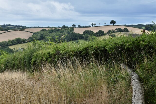
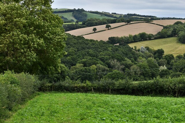
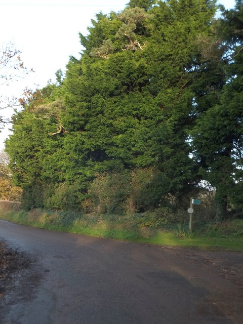
Western Castle Wood is a captivating forest located in the county of Devon, in the southwest of England. This enchanting woodland is nestled in the Dartmoor National Park, renowned for its stunning natural beauty and diverse ecosystems. Spanning over a vast area, Western Castle Wood is home to a variety of flora and fauna, making it a paradise for nature enthusiasts and hikers alike.
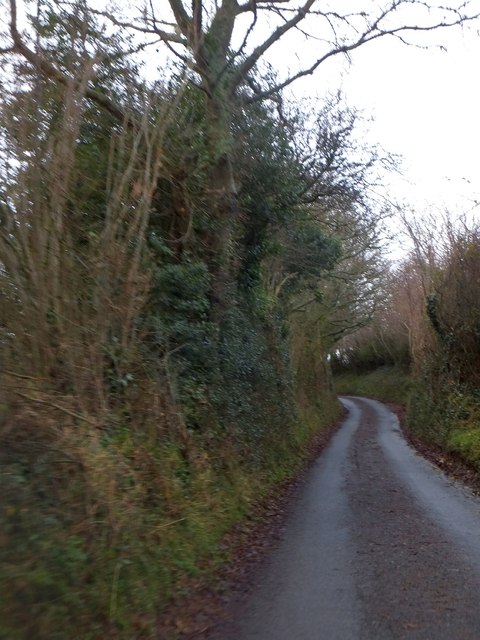
The forest is characterized by its dense canopy of towering oak, beech, and ash trees, which provide shelter to a plethora of woodland creatures such as deer, badgers, and squirrels. The forest floor is carpeted with a rich tapestry of wildflowers, including bluebells, primroses, and wood anemones, creating a picturesque sight during the spring months.
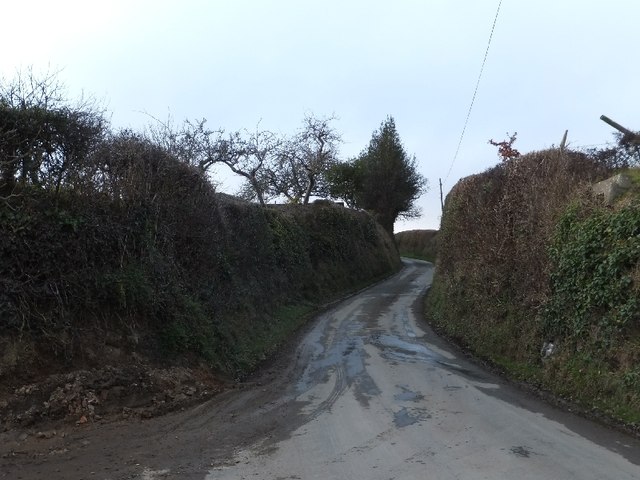
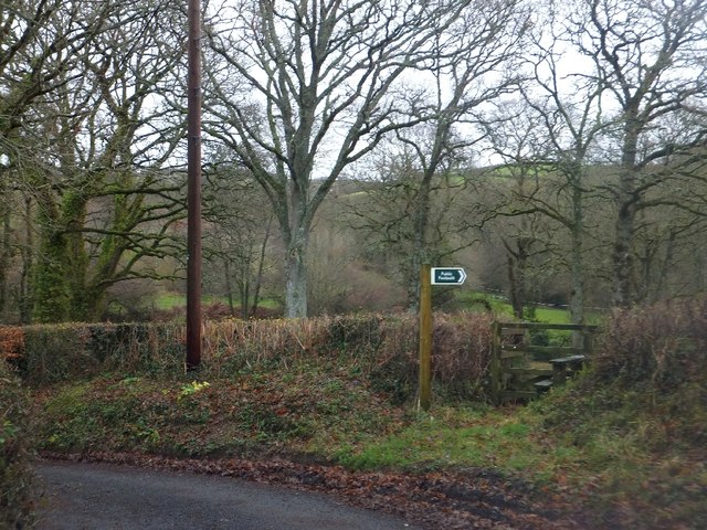
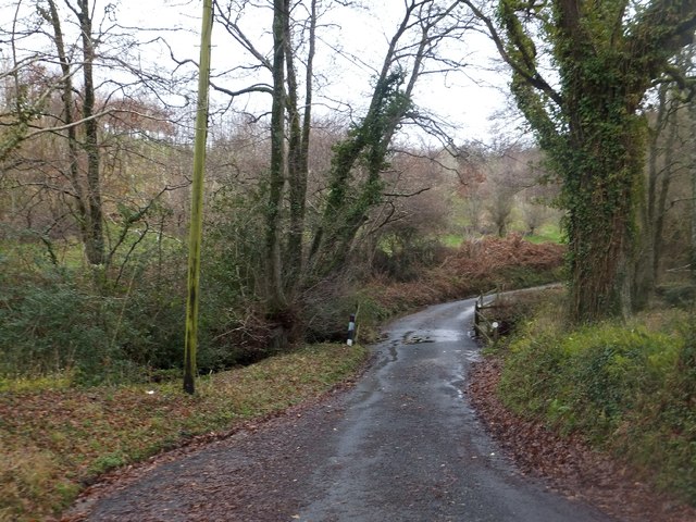
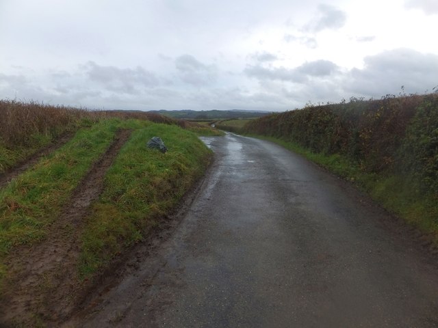
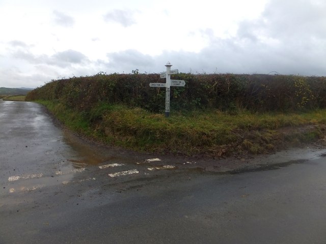
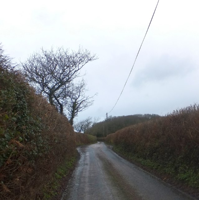
Western Castle Wood is intersected by numerous walking trails, offering visitors the opportunity to explore its hidden treasures. The paths wind through the ancient trees, leading to hidden glades and babbling brooks. The tranquil atmosphere and breathtaking scenery make it a popular destination for those seeking solace in the heart of nature.
In addition to its ecological significance, Western Castle Wood also holds historical importance. The forest is home to the remains of an Iron Age hillfort, known as Western Castle, which offers a glimpse into the region's ancient past. This archaeological site adds another layer of intrigue to the woodland, making it a fascinating destination for history enthusiasts.
Overall, Western Castle Wood in Devon is a captivating and diverse forest that offers a serene escape from the hustle and bustle of everyday life. With its stunning scenery, abundant wildlife, and rich history, it is a must-visit destination for anyone seeking to immerse themselves in the natural wonders of the Dartmoor National Park.
If you have any feedback on the listing, please let us know in the comments section below.
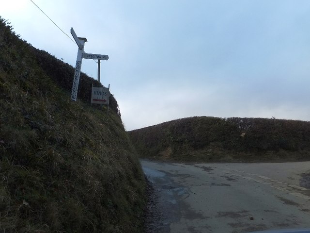
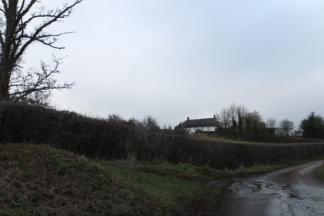
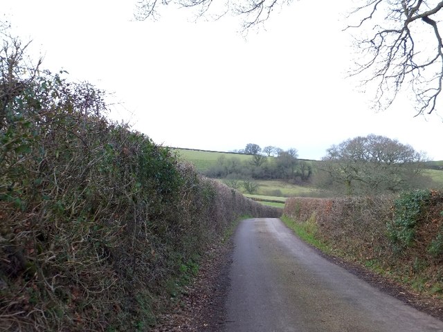
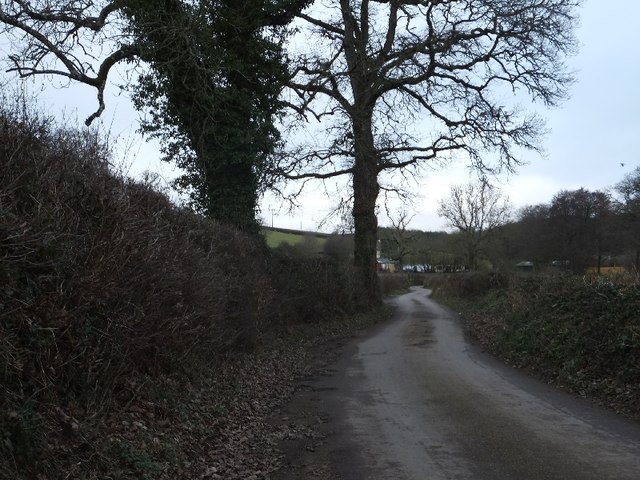
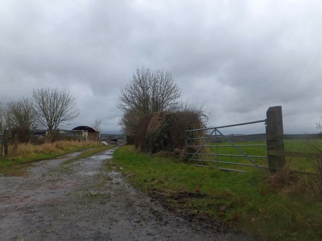
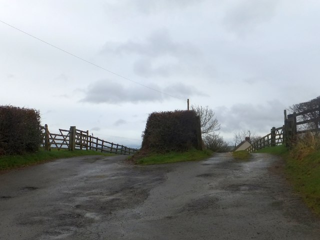
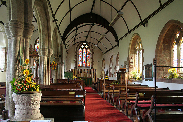
Western Castle Wood Images
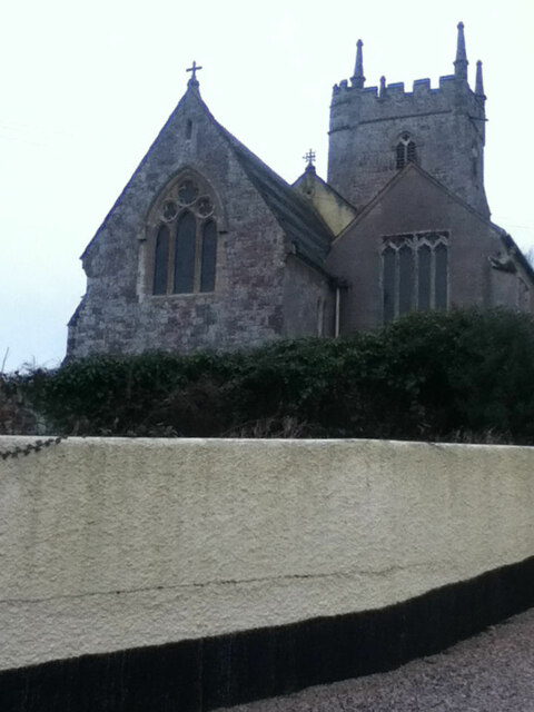
Images are sourced within 2km of 50.748409/-3.7072584 or Grid Reference SX7995. Thanks to Geograph Open Source API. All images are credited.
Western Castle Wood is located at Grid Ref: SX7995 (Lat: 50.748409, Lng: -3.7072584)
Administrative County: Devon
District: Teignbridge
Police Authority: Devon and Cornwall
What 3 Words
///rebirth.beamed.vibrating. Near Crediton, Devon
Related Wikis

Posbury
Posbury is an ancient estate in Devon, now a hamlet, situated about 2 miles south-west of Crediton and 2 miles north of Tedburn St Mary and 1 mile west...

Tedburn St Mary
Tedburn St Mary is a village and civil parish in the Teignbridge district of Devon, England, approximately 8 miles west of Exeter. It has a population...
Cheriton Bishop
Cheriton Bishop is a village and civil parish situated on the northern borders of Dartmoor National park between Exeter and Okehampton, in Devon, England...

Crediton Hamlets
Crediton Hamlets is a civil parish in Mid Devon in the English county of Devon. It has a population of 1,307. == References ==
Nearby Amenities
Located within 500m of 50.748409,-3.7072584Have you been to Western Castle Wood?
Leave your review of Western Castle Wood below (or comments, questions and feedback).