Northern Castle Wood
Wood, Forest in Devon Teignbridge
England
Northern Castle Wood
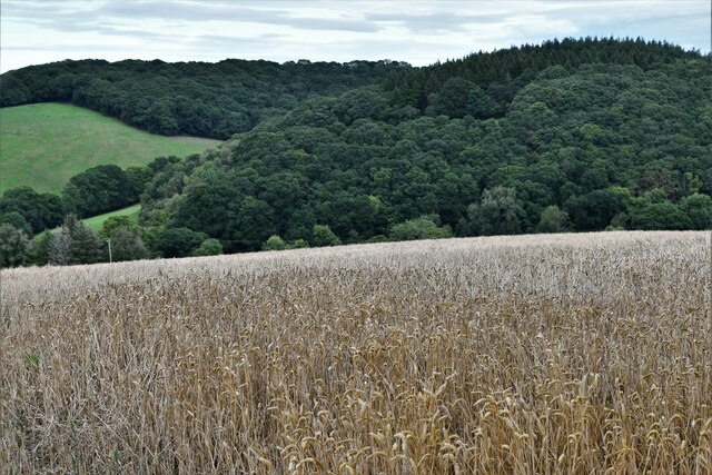
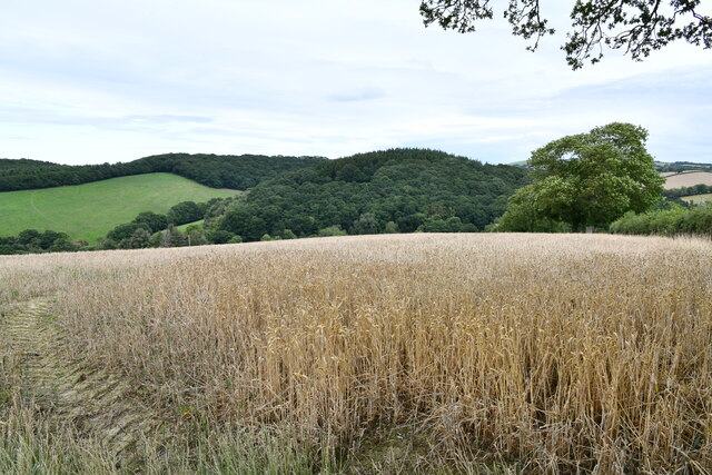
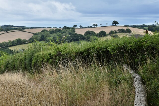
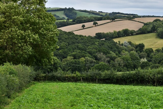
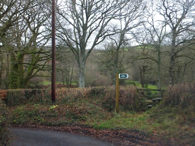
Northern Castle Wood is a picturesque forest located in Devon, England. Spanning over a vast area, it is renowned for its natural beauty and biodiversity. The wood is situated in the northern part of Castle Wood, a larger woodland area that encompasses diverse habitats and ecosystems.
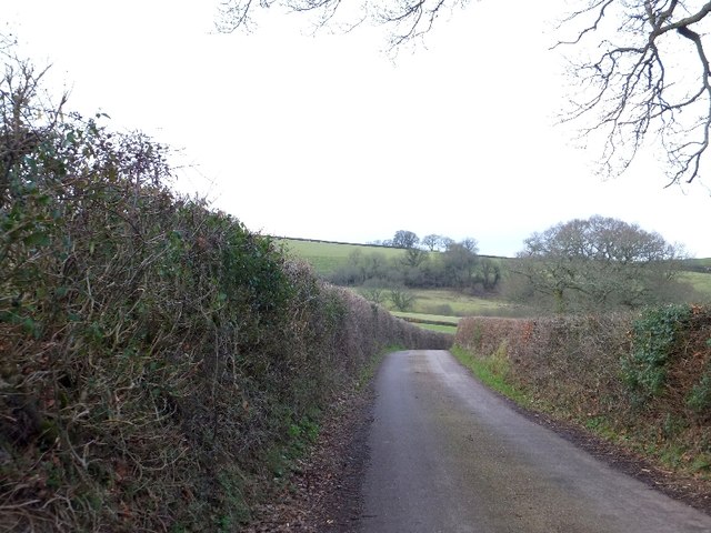
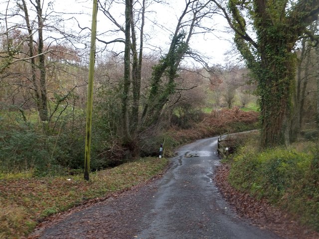
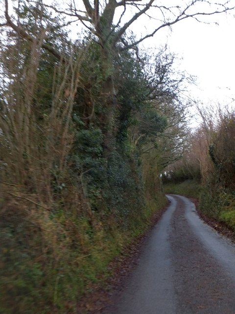
This woodland is characterized by its dense canopy of tall, mature trees, predominantly consisting of oak, beech, and ash. The towering trees provide a sheltered environment, creating a haven for various wildlife species. The forest floor is covered by a rich carpet of wildflowers, ferns, and mosses, adding to the enchanting ambiance of the wood.
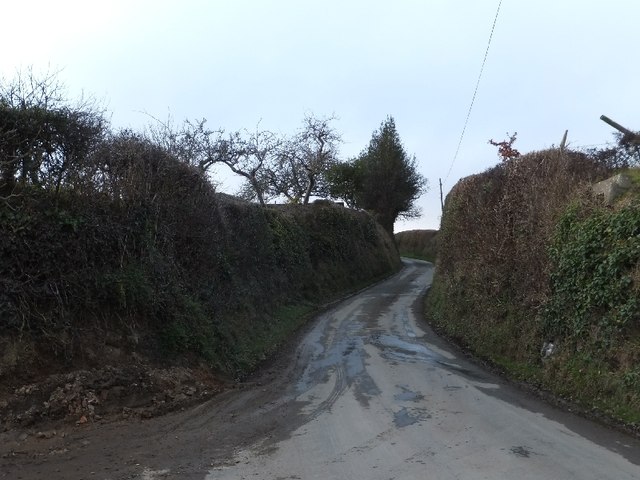
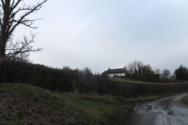
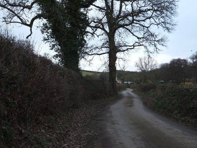
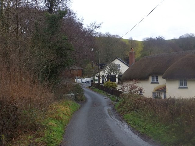
Northern Castle Wood is a popular destination for nature enthusiasts and hikers. The area offers a myriad of walking trails, allowing visitors to explore the wood's serene surroundings while enjoying the sights and sounds of nature. The diverse flora and fauna provide ample opportunities for wildlife spotting, with frequent sightings of deer, squirrels, and a variety of bird species.
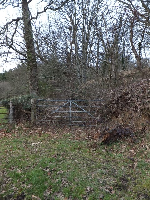
In addition to its natural beauty, Northern Castle Wood also holds historical significance. It is believed that the wood was once part of a medieval hunting ground, and remnants of ancient earthworks can still be found within its boundaries.
Overall, Northern Castle Wood is a captivating woodland that showcases the natural wonders of Devon. It offers a tranquil escape from the hustle and bustle of modern life, allowing visitors to immerse themselves in the beauty of nature and experience the peacefulness of the forest.
If you have any feedback on the listing, please let us know in the comments section below.
Northern Castle Wood Images
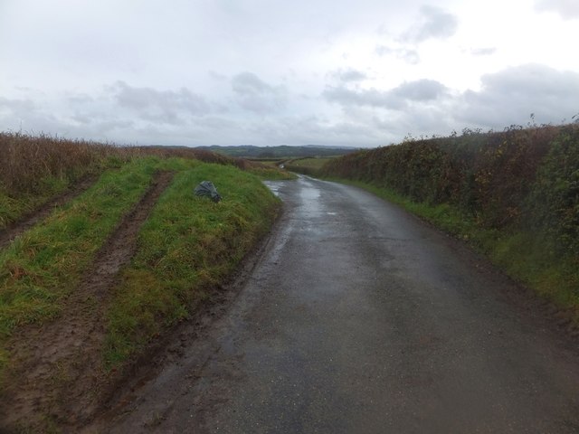
Images are sourced within 2km of 50.74959/-3.7039984 or Grid Reference SX7995. Thanks to Geograph Open Source API. All images are credited.

Northern Castle Wood is located at Grid Ref: SX7995 (Lat: 50.74959, Lng: -3.7039984)
Administrative County: Devon
District: Teignbridge
Police Authority: Devon and Cornwall
What 3 Words
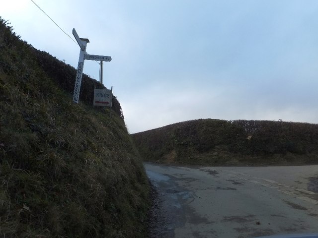
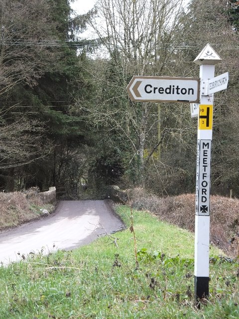
///economies.simulates.barbarian. Near Crediton, Devon
Related Wikis

Posbury
Posbury is an ancient estate in Devon, now a hamlet, situated about 2 miles south-west of Crediton and 2 miles north of Tedburn St Mary and 1 mile west...

Tedburn St Mary
Tedburn St Mary is a village and civil parish in the Teignbridge district of Devon, England, approximately 8 miles west of Exeter. It has a population...
Cheriton Bishop
Cheriton Bishop is a village and civil parish situated on the northern borders of Dartmoor National park between Exeter and Okehampton, in Devon, England...

Crediton Hamlets
Crediton Hamlets is a civil parish in Mid Devon in the English county of Devon. It has a population of 1,307. == References ==
Nearby Amenities
Located within 500m of 50.74959,-3.7039984Have you been to Northern Castle Wood?
Leave your review of Northern Castle Wood below (or comments, questions and feedback).