Down Plantation
Wood, Forest in Devon Teignbridge
England
Down Plantation
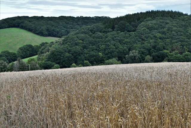
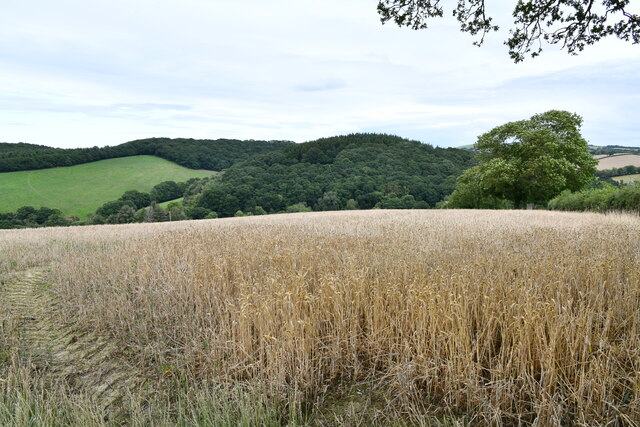
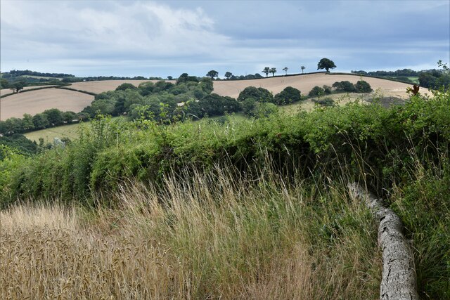
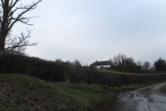
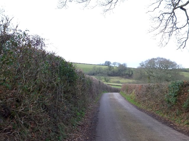
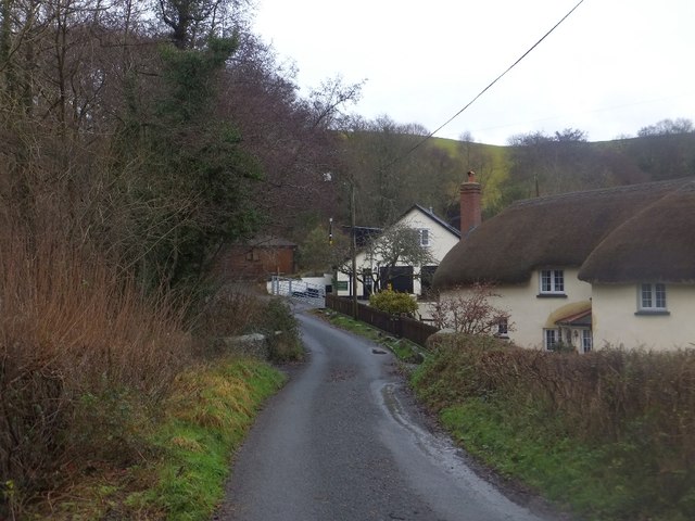
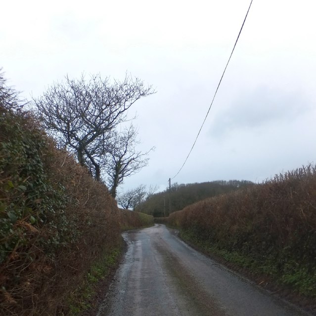
Down Plantation is a captivating woodland located in the county of Devon, England. Covering a vast area of lush greenery, this plantation is a haven for nature enthusiasts and an ideal destination for outdoor activities. Situated within close proximity to the village of Down St Mary, the plantation offers a tranquil escape from the hustle and bustle of daily life.
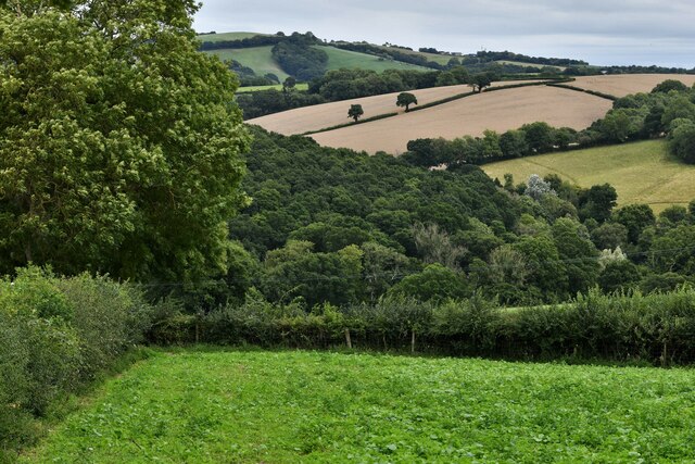
The woodland is characterized by its dense canopy of towering trees, predominantly consisting of oak, beech, and ash. The vibrant and diverse ecosystem provides a home to a wide array of flora and fauna, making it a paradise for wildlife spotting and photography. Visitors can expect to encounter various species of birds, small mammals, and even elusive creatures such as deer.
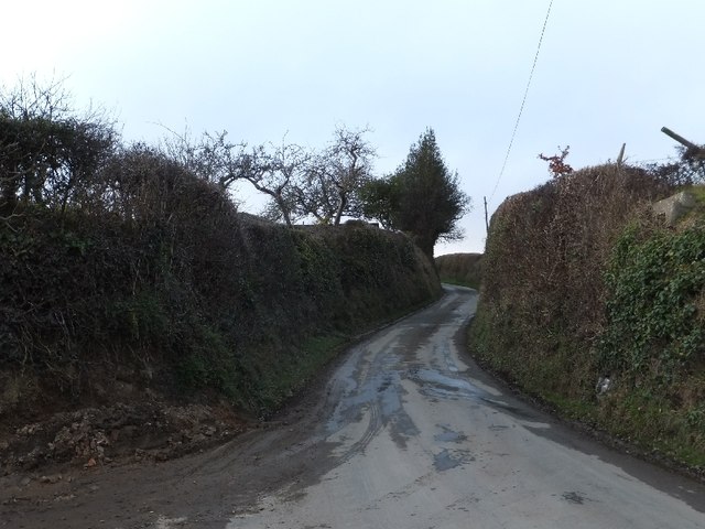
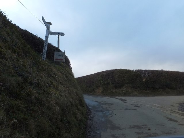
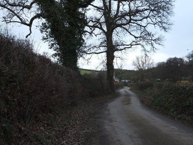
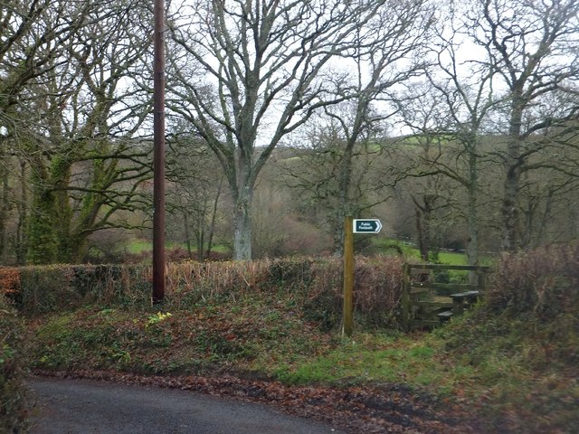
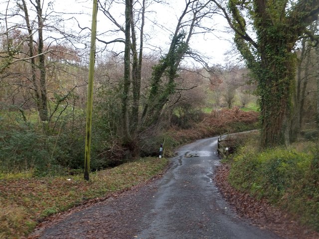
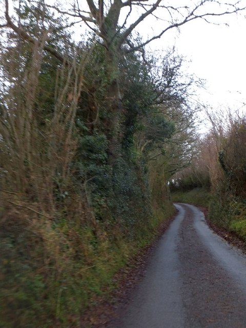
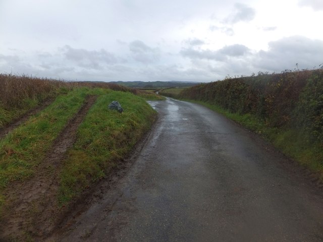
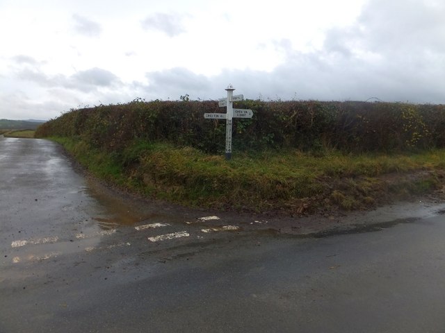
The plantation boasts an extensive network of well-maintained trails, allowing visitors to explore its beauty at their own pace. Hiking, walking, and cycling are popular activities here, with routes suitable for all levels of fitness. The dense foliage and dappled sunlight create a magical atmosphere, while the occasional babbling brook adds to the charm.
In addition to its natural beauty, Down Plantation also holds historical significance. It is believed to have been a part of an ancient forest that covered much of the region during medieval times. The remnants of old boundary markers and the occasional glimpse of ruins hint at the plantation's rich past.
Whether you seek solitude, adventure, or a deeper connection with nature, Down Plantation offers an enchanting experience that is sure to leave a lasting impression.
If you have any feedback on the listing, please let us know in the comments section below.
Down Plantation Images
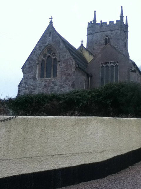
Images are sourced within 2km of 50.746575/-3.7059726 or Grid Reference SX7995. Thanks to Geograph Open Source API. All images are credited.

Down Plantation is located at Grid Ref: SX7995 (Lat: 50.746575, Lng: -3.7059726)
Administrative County: Devon
District: Teignbridge
Police Authority: Devon and Cornwall
What 3 Words
///pedicure.inclines.voltages. Near Crediton, Devon
Related Wikis

Posbury
Posbury is an ancient estate in Devon, now a hamlet, situated about 2 miles south-west of Crediton and 2 miles north of Tedburn St Mary and 1 mile west...

Tedburn St Mary
Tedburn St Mary is a village and civil parish in the Teignbridge district of Devon, England, approximately 8 miles west of Exeter. It has a population...
Cheriton Bishop
Cheriton Bishop is a village and civil parish situated on the northern borders of Dartmoor National park between Exeter and Okehampton, in Devon, England...

Crediton Hamlets
Crediton Hamlets is a civil parish in Mid Devon in the English county of Devon. It has a population of 1,307. == References ==
Nearby Amenities
Located within 500m of 50.746575,-3.7059726Have you been to Down Plantation?
Leave your review of Down Plantation below (or comments, questions and feedback).