Higher Longland Wood
Wood, Forest in Devon Teignbridge
England
Higher Longland Wood
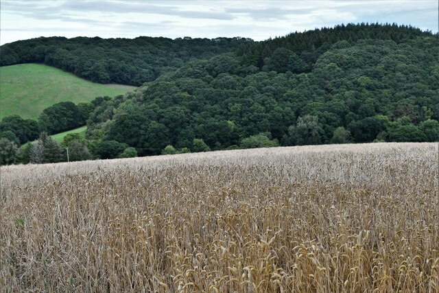
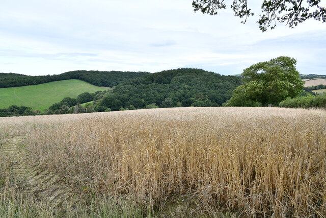
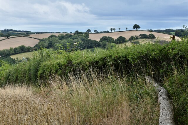
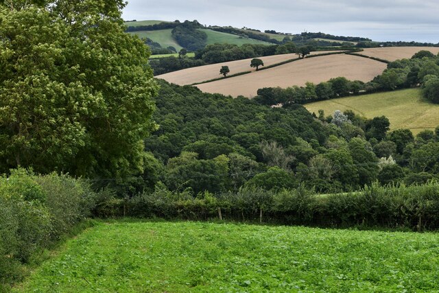
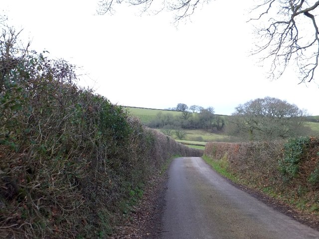
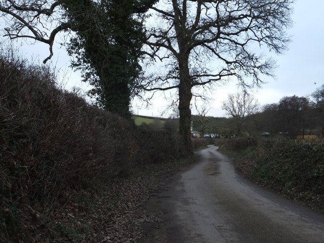
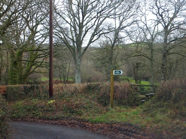
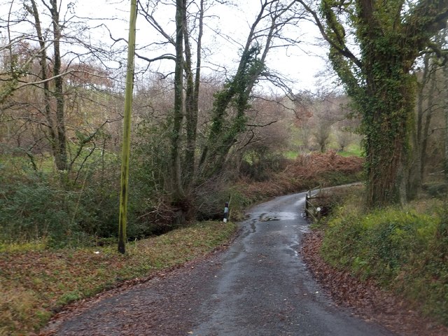
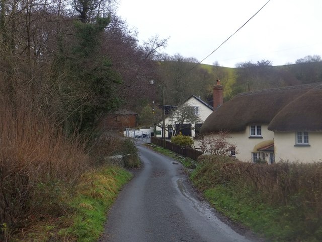
Higher Longland Wood is a picturesque woodland located in Devon, England. Covering an area of approximately 50 acres, it is considered one of the most beautiful and well-preserved forests in the region. The wood is situated in the heart of the countryside, surrounded by rolling hills and stunning natural landscapes.
The woodland is characterized by its diverse range of tree species, including oak, beech, ash, and birch. These trees create a dense canopy, providing shade and shelter for a variety of wildlife that call the wood their home. Visitors to Higher Longland Wood can expect to see an array of birds, such as woodpeckers and song thrushes, as well as small mammals like squirrels and rabbits.
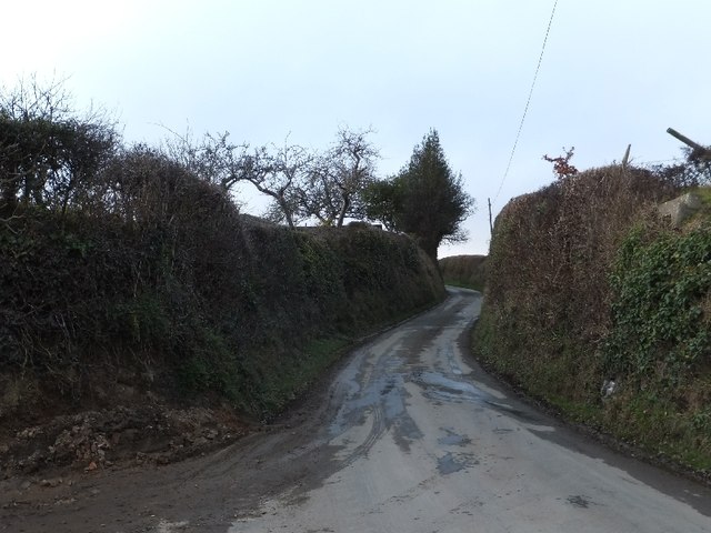
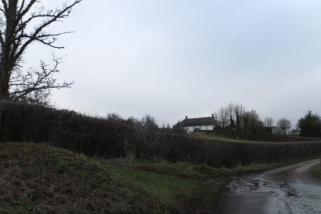
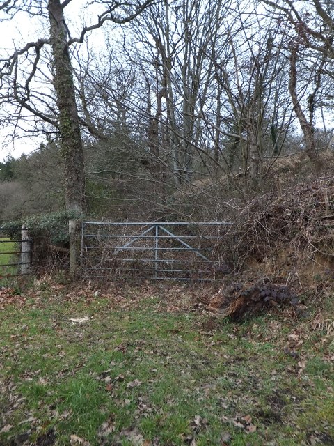
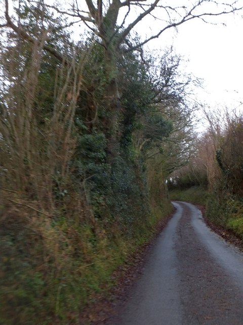
The wood is crisscrossed with a network of well-maintained footpaths, allowing visitors to explore its beauty and tranquility at their own pace. These paths lead to several scenic viewpoints, offering breathtaking vistas of the surrounding countryside. The wood is also home to a small stream, which adds to the peaceful ambiance and provides a refreshing spot for visitors to rest and enjoy the natural surroundings.
Higher Longland Wood is a popular destination for nature enthusiasts, hikers, and photographers alike. Its untouched beauty and peaceful atmosphere make it an ideal place to escape the hustle and bustle of everyday life. Whether it's a leisurely stroll through the woodland or a picnic by the stream, visitors are sure to find solace and serenity in this hidden gem of Devon.
If you have any feedback on the listing, please let us know in the comments section below.
Higher Longland Wood Images
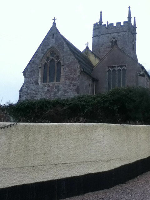
Images are sourced within 2km of 50.749061/-3.7032846 or Grid Reference SX7995. Thanks to Geograph Open Source API. All images are credited.


Higher Longland Wood is located at Grid Ref: SX7995 (Lat: 50.749061, Lng: -3.7032846)
Administrative County: Devon
District: Teignbridge
Police Authority: Devon and Cornwall
What 3 Words
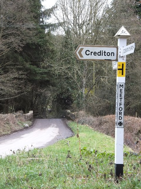
///hobbyists.composer.jousting. Near Crediton, Devon
Related Wikis

Posbury
Posbury is an ancient estate in Devon, now a hamlet, situated about 2 miles south-west of Crediton and 2 miles north of Tedburn St Mary and 1 mile west...

Tedburn St Mary
Tedburn St Mary is a village and civil parish in the Teignbridge district of Devon, England, approximately 8 miles west of Exeter. It has a population...
Cheriton Bishop
Cheriton Bishop is a village and civil parish situated on the northern borders of Dartmoor National park between Exeter and Okehampton, in Devon, England...

Crediton Hamlets
Crediton Hamlets is a civil parish in Mid Devon in the English county of Devon. It has a population of 1,307. == References ==

Yeoford
Yeoford () is a village near the town of Crediton in Devon, England. It is served by Yeoford railway station on the Exeter to Barnstaple railway line,...

River Yeo (tributary of the Creedy)
The River Yeo is a tributary to the River Creedy. It is located in Devon, England, and its headwaters float within two miles of a different River Yeo,...

Yeoford railway station
Yeoford railway station is a rural station serving the village of Yeoford in Devon, England. It is on the Tarka Line to Barnstaple, 11 miles 42 chains...

West Country English
West Country English is a group of English language varieties and accents used by much of the native population of South West England, the area sometimes...
Nearby Amenities
Located within 500m of 50.749061,-3.7032846Have you been to Higher Longland Wood?
Leave your review of Higher Longland Wood below (or comments, questions and feedback).