Higher Bury
Heritage Site in Devon Teignbridge
England
Higher Bury
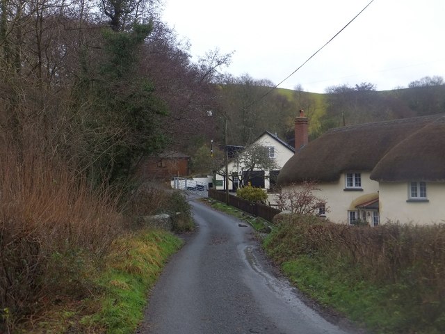
Higher Bury, Devon is a significant heritage site located in the South West of England. Situated in the picturesque county of Devon, this historical site attracts visitors from near and far due to its rich history and cultural significance.
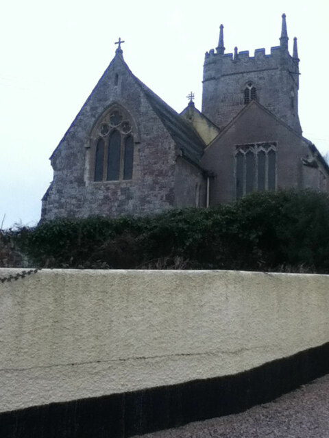
Originally established in the 12th century, Higher Bury was a medieval manor house that served as a residence for the aristocracy. The manor house was built with local stone, creating a stunning architectural structure that still stands today. Over the centuries, Higher Bury underwent several expansions and renovations, adding to its grandeur and charm.
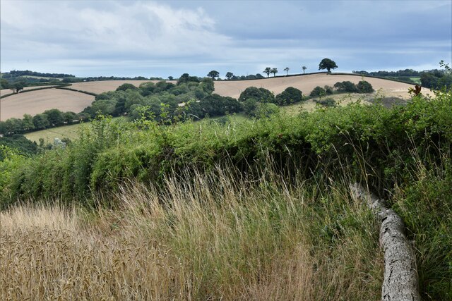
The site is known for its beautifully manicured gardens, which have been meticulously maintained throughout the years. The gardens feature a wide variety of stunning flowers, plants, and trees, creating a tranquil and serene environment for visitors to explore.
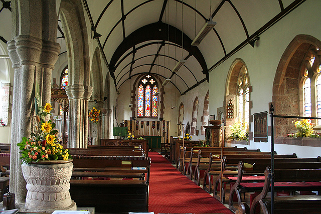
Inside the manor house, visitors can experience the history of Higher Bury firsthand. The interior boasts an impressive collection of antique furniture, artwork, and historical artifacts, providing a glimpse into the lives of the aristocracy who once called this place home.
In addition to its historical significance, Higher Bury also offers a range of amenities for visitors. There is a quaint tea room where visitors can enjoy traditional Devonshire cream teas and refreshments. The site also hosts regular events and exhibitions, showcasing local talents and celebrating the heritage of the area.
Overall, Higher Bury, Devon is a captivating heritage site that combines natural beauty with historical significance. Its well-preserved manor house, stunning gardens, and cultural offerings make it a must-visit destination for history enthusiasts and nature lovers alike.
If you have any feedback on the listing, please let us know in the comments section below.
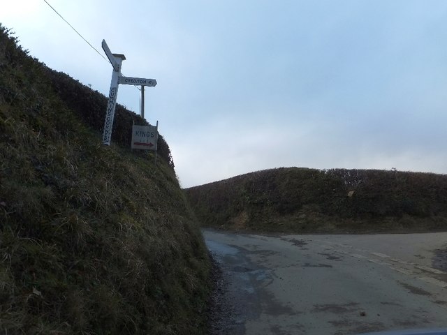
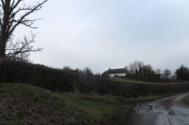
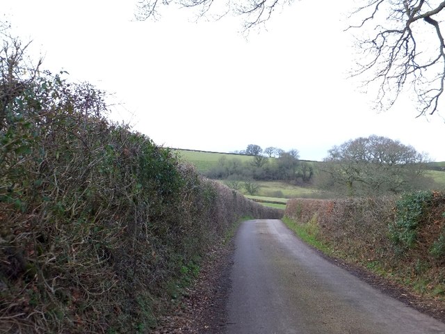
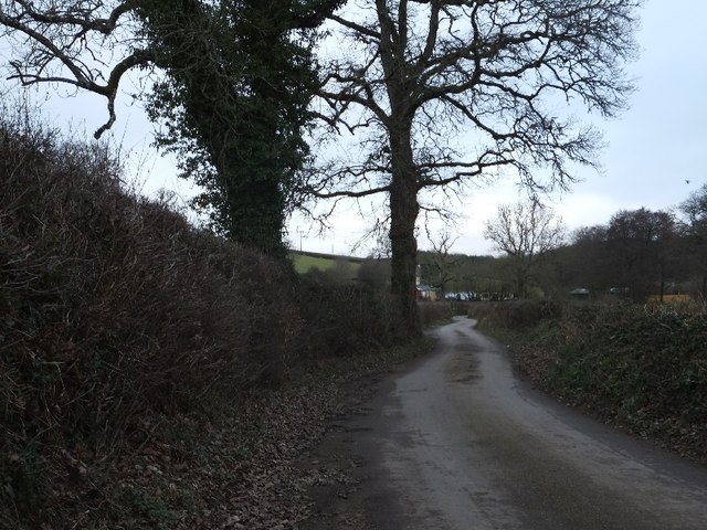
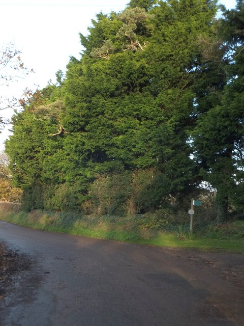
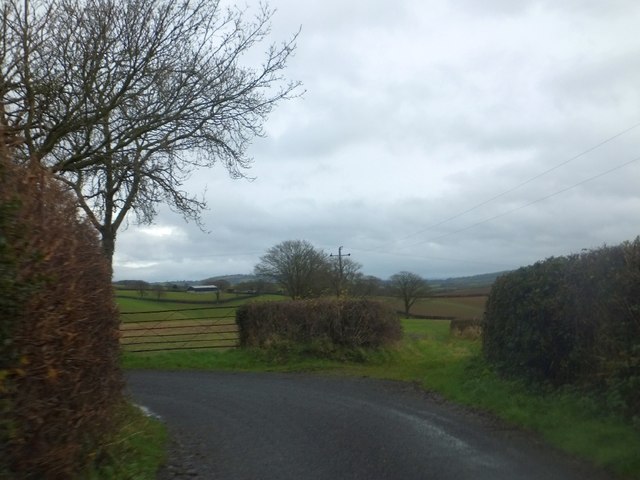
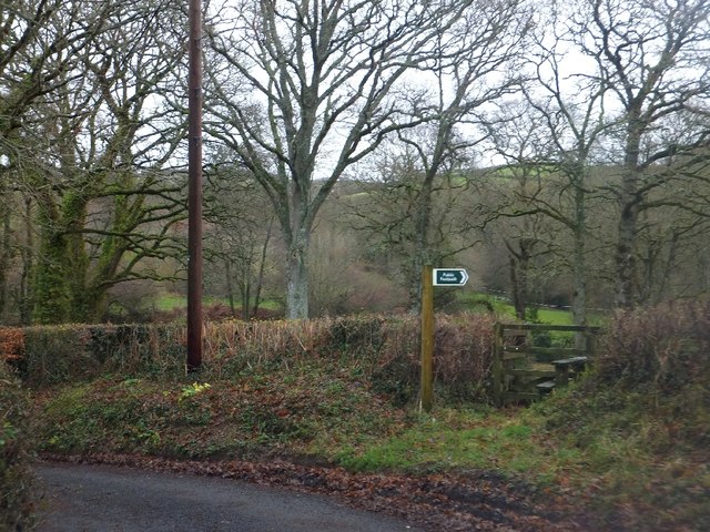
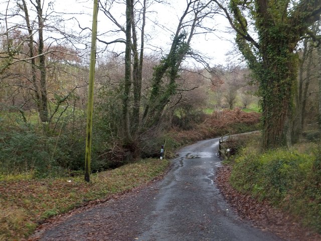
Higher Bury Images
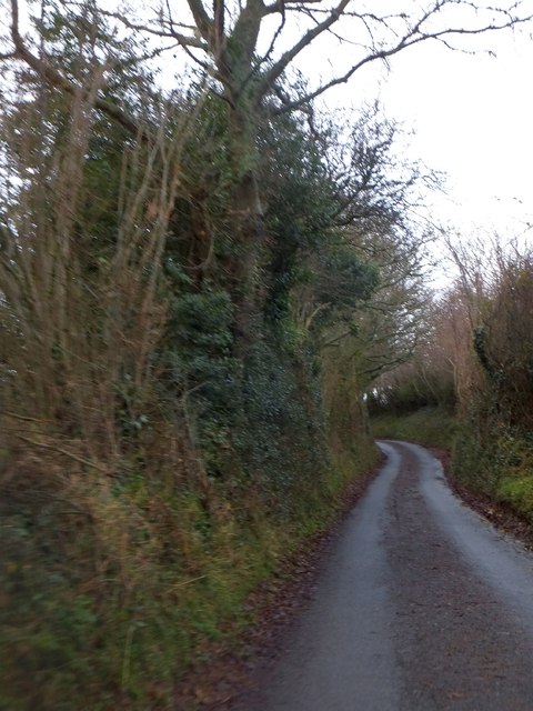
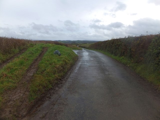
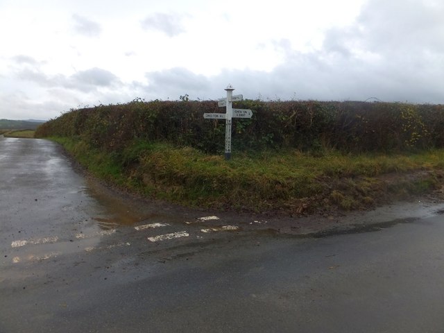
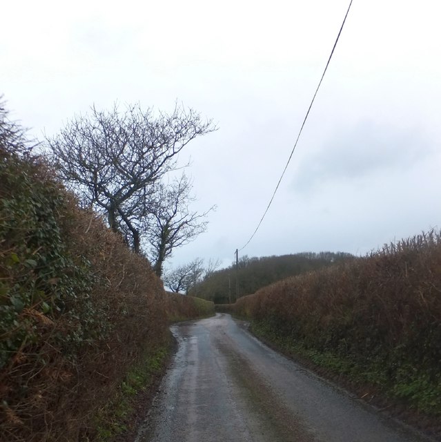
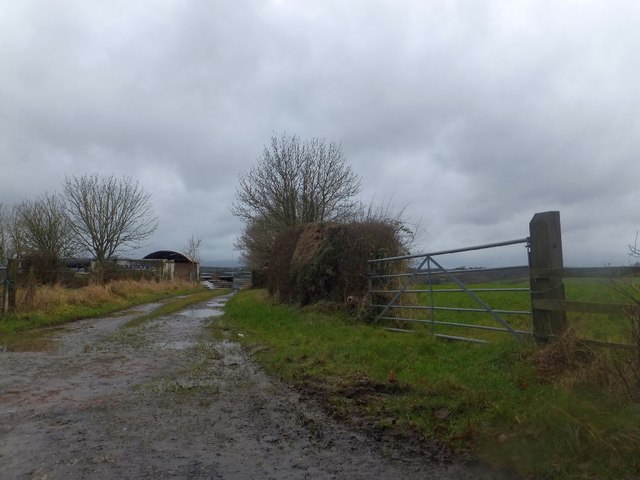
Images are sourced within 2km of 50.747/-3.708 or Grid Reference SX7995. Thanks to Geograph Open Source API. All images are credited.
Higher Bury is located at Grid Ref: SX7995 (Lat: 50.747, Lng: -3.708)
Administrative County: Devon
District: Teignbridge
Police Authority: Devon and Cornwall
What 3 Words
///implore.beanbag.shackles. Near Crediton, Devon
Related Wikis

Posbury
Posbury is an ancient estate in Devon, now a hamlet, situated about 2 miles south-west of Crediton and 2 miles north of Tedburn St Mary and 1 mile west...

Tedburn St Mary
Tedburn St Mary is a village and civil parish in the Teignbridge district of Devon, England, approximately 8 miles west of Exeter. It has a population...
Cheriton Bishop
Cheriton Bishop is a village and civil parish situated on the northern borders of Dartmoor National park between Exeter and Okehampton, in Devon, England...

Crediton Hamlets
Crediton Hamlets is a civil parish in Mid Devon in the English county of Devon. It has a population of 1,307. == References ==

Yeoford
Yeoford () is a village near the town of Crediton in Devon, England. It is served by Yeoford railway station on the Exeter to Barnstaple railway line,...

West Country English
West Country English is a group of English language varieties and accents used by much of the native population of South West England, the area sometimes...

Devon
Devon (/ˈdɛvən/ DEV-ən, historically also known as Devonshire /-ʃɪər, -ʃər/ -sheer, -shər) is a ceremonial county in South West England. It is bordered...

River Yeo (tributary of the Creedy)
The River Yeo is a tributary to the River Creedy. It is located in Devon, England, and its headwaters float within two miles of a different River Yeo,...
Nearby Amenities
Located within 500m of 50.747,-3.708Have you been to Higher Bury?
Leave your review of Higher Bury below (or comments, questions and feedback).