Potato Brake
Wood, Forest in Devon Teignbridge
England
Potato Brake
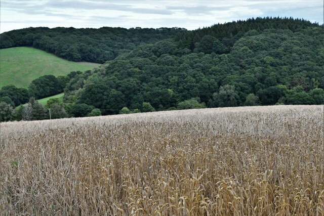
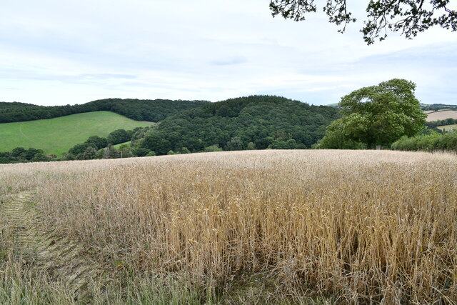
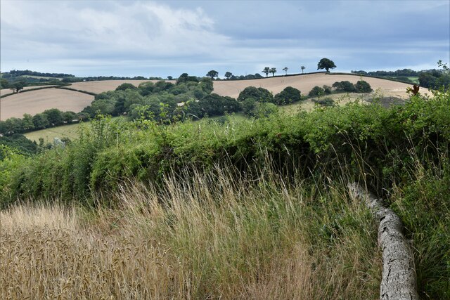
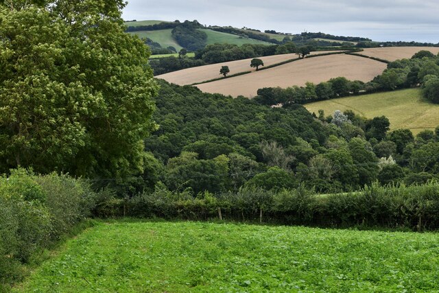
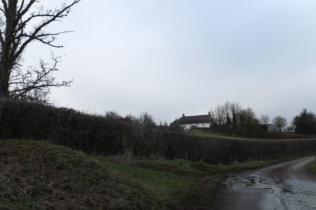
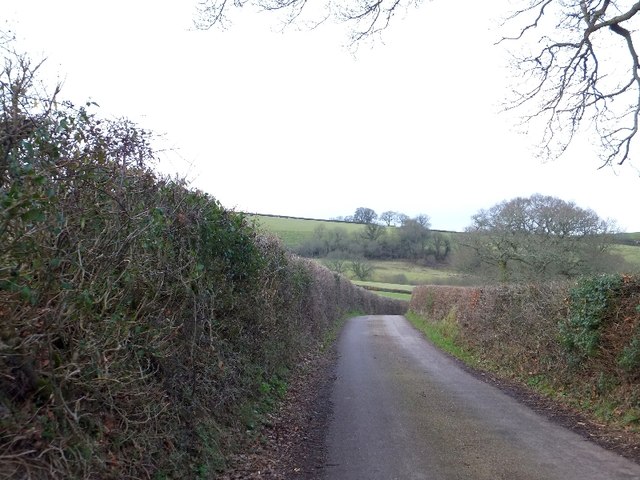
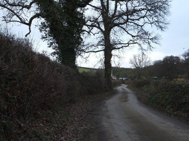
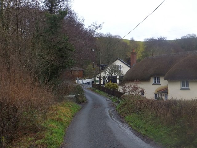
Potato Brake is a beautiful woodland area located in Devon, England. Situated in the heart of the county, it is part of the wider Devon Wood Forest and is known for its natural beauty and tranquility.
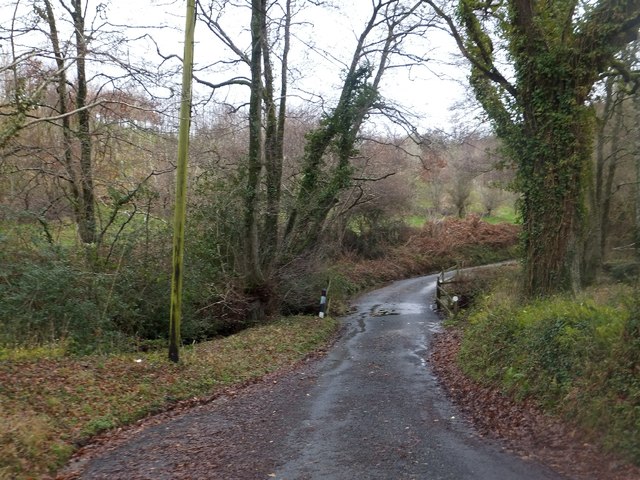
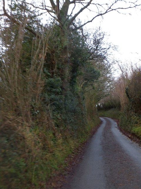
Covering an area of approximately 100 acres, Potato Brake is characterized by its dense woodlands, towering trees, and diverse wildlife. The forest boasts a variety of tree species, including oak, beech, and birch, creating a rich and vibrant ecosystem. Visitors to this enchanting woodland can expect to be greeted by a carpet of bluebells in the spring, adding a touch of color to the already picturesque surroundings.
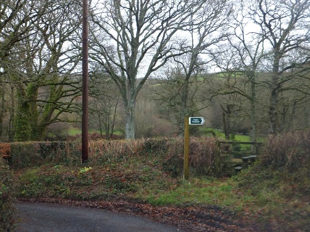
The forest is a popular destination for nature lovers and outdoor enthusiasts, offering an array of activities and amenities. There are well-maintained walking trails that wind through the woods, providing opportunities for leisurely strolls and more challenging hikes. The peaceful atmosphere makes it an ideal place for picnics, birdwatching, and photography.
Potato Brake also provides a habitat for various wildlife species. Birdwatchers can spot numerous bird species, including woodpeckers, owls, and various songbirds. Squirrels and rabbits can be seen darting through the undergrowth, while if you're lucky, you might even catch a glimpse of a deer or a fox.
Overall, Potato Brake is a hidden gem in Devon, offering visitors a chance to escape the hustle and bustle of everyday life and immerse themselves in the natural beauty of the woodlands. It is a place where one can connect with nature, relax, and appreciate the wonders of the great outdoors.
If you have any feedback on the listing, please let us know in the comments section below.
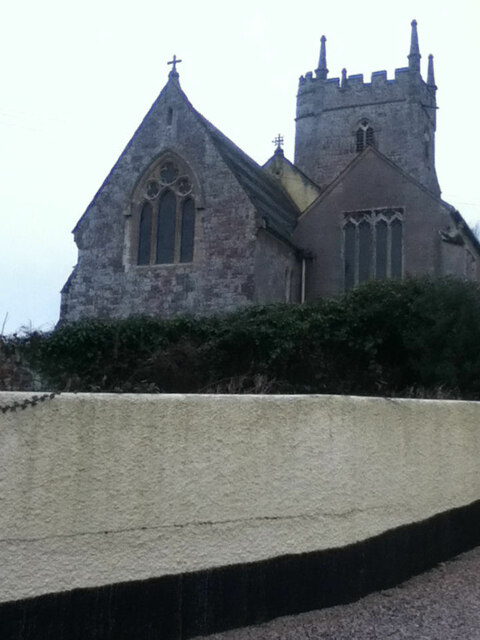
Potato Brake Images
Images are sourced within 2km of 50.745651/-3.7046066 or Grid Reference SX7995. Thanks to Geograph Open Source API. All images are credited.


Potato Brake is located at Grid Ref: SX7995 (Lat: 50.745651, Lng: -3.7046066)
Administrative County: Devon
District: Teignbridge
Police Authority: Devon and Cornwall
What 3 Words
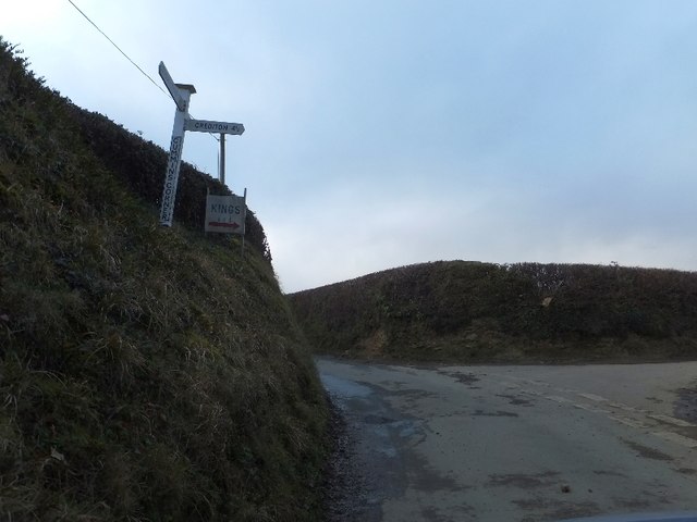
///daydreams.agreed.tinsel. Near Crediton, Devon
Related Wikis

Tedburn St Mary
Tedburn St Mary is a village and civil parish in the Teignbridge district of Devon, England, approximately 8 miles west of Exeter. It has a population...

Posbury
Posbury is an ancient estate in Devon, now a hamlet, situated about 2 miles south-west of Crediton and 2 miles north of Tedburn St Mary and 1 mile west...
Cheriton Bishop
Cheriton Bishop is a village and civil parish situated on the northern borders of Dartmoor National park between Exeter and Okehampton, in Devon, England...

West Country English
West Country English is a group of English language varieties and accents used by much of the native population of South West England, the area sometimes...
Nearby Amenities
Located within 500m of 50.745651,-3.7046066Have you been to Potato Brake?
Leave your review of Potato Brake below (or comments, questions and feedback).