The Wilderness

Wood, Forest in Devon Teignbridge

England

The Wilderness

The A30 west at Woodleigh Junction
The A30 west at Woodleigh Junction Credit: Roy Hughes

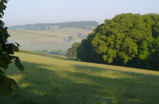
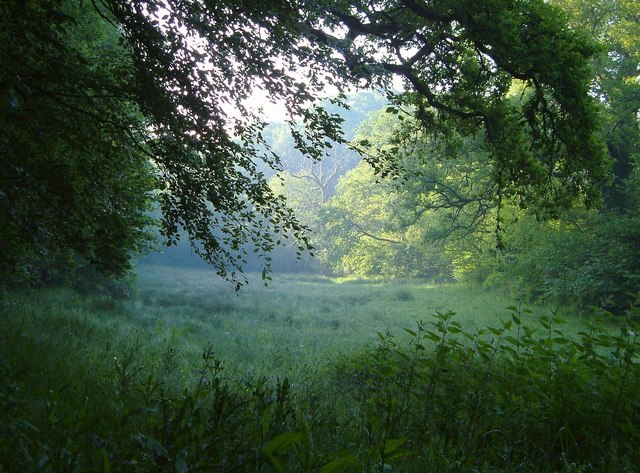
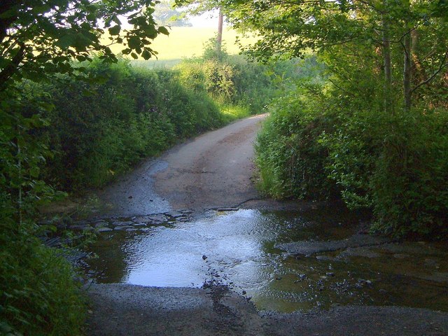
The Wilderness, located in Devon, England, is a breathtaking wood and forest area that spans across a vast stretch of land. Known for its untouched natural beauty, this enchanting wilderness captivates visitors with its diverse flora and fauna, making it a popular destination for nature lovers, hikers, and photographers.

Covering an area of approximately 500 acres, The Wilderness is home to a wide range of tree species, including oak, beech, and birch, creating a rich and vibrant ecosystem. The lush greenery, combined with the gentle sound of birdsong and the sweet scent of wildflowers, provides a serene and tranquil atmosphere for those seeking solace in nature.

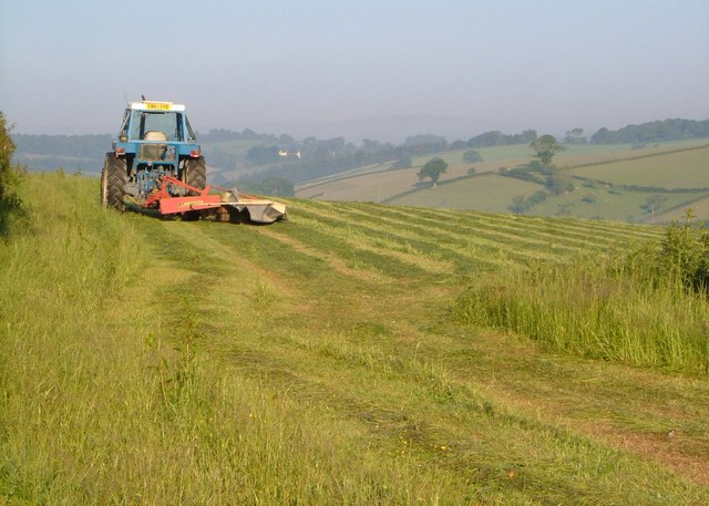
The forest is crisscrossed with well-maintained walking paths and trails, allowing visitors to explore and discover the hidden gems within The Wilderness. As one ventures deeper into the woods, they may come across picturesque streams, babbling brooks, and small ponds, adding to the natural charm of the area.

Wildlife enthusiasts will be delighted by the presence of various animals that call The Wilderness their home. Deer, rabbits, foxes, and a wide variety of bird species can often be spotted, making it a haven for wildlife observation and photography.

The Wilderness is also known for its historical significance, with evidence of human habitation dating back centuries. The remnants of ancient stone structures and burial mounds can be found within the forest, adding an air of mystery and intrigue to the already captivating landscape.

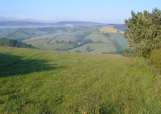
Overall, The Wilderness in Devon is a haven of natural beauty, offering visitors a chance to escape the hustle and bustle of city life and immerse themselves in the tranquility of the woodlands.

If you have any feedback on the listing, please let us know in the comments section below.

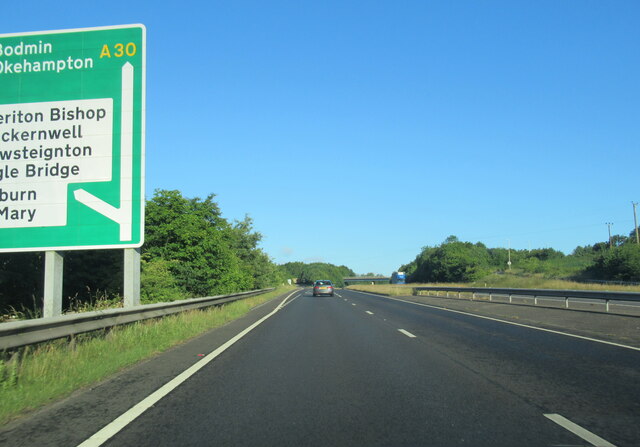
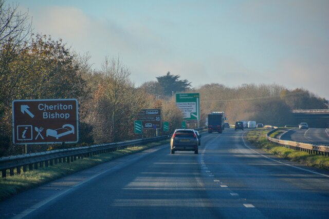
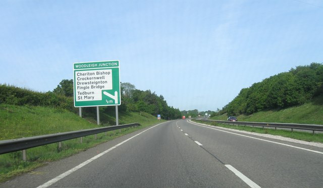
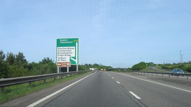
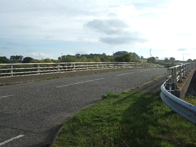
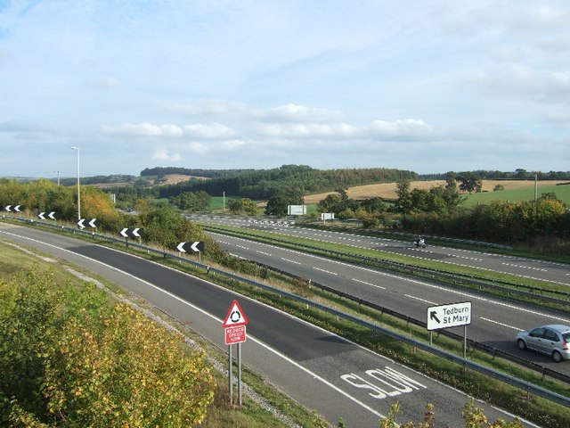
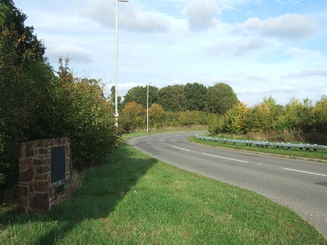
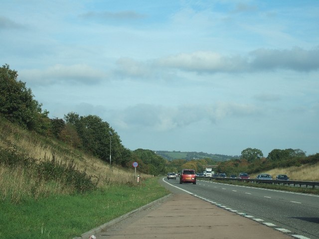
The Wilderness Images

Images are sourced within 2km of 50.719522/-3.7029357 or Grid Reference SX7992. Thanks to Geograph Open Source API. All images are credited.

The A30 west at Woodleigh Junction
Cheriton Bishop : A30 Looking along the A30.
Cheriton Bishop : A30
Looking along the A30.
A30 east of Woodleigh Junction
Woodleigh Junction, A30
Bridge over A30
Bridge over A30
A30 from bridge at Cheriton Bishop
Plaque to mark the opening of bridge over A30 When the A30 dual carriageway was built, traffic at the junction for Cheriton Bishop and other villages had to cross the carriageway; it became an accident black-spot.  Local campaigners persuaded the Highways Agency to build a bridge and make a safer junction.  This plaque also notes the efforts of one local councillor in the campaign.
Plaque to mark the opening of bridge over A30
When the A30 dual carriageway was built, traffic at the junction for Cheriton Bishop and other villages had to cross the carriageway; it became an accident black-spot. Local campaigners persuaded the Highways Agency to build a bridge and make a safer junction. This plaque also notes the efforts of one local councillor in the campaign.
Lay-by on A30 near Hackworthy
Corner of Oxenpark Plantation A view from the lane shown in <a href="https://www.geograph.org.uk/photo/185344">SX8192 : Lane near Halstow, Tedburn St Mary</a>, with the Ducks Brook valley in the background. Mists drifts like smoke.
Corner of Oxenpark Plantation
A view from the lane shown in SX8192 : Lane near Halstow, Tedburn St Mary, with the Ducks Brook valley in the background. Mists drifts like smoke.
Mowing near Halstow A tractor cuts the grass in a field on the other side of the lane from <a href="https://www.geograph.org.uk/photo/2621001">SX8191 : Barn near Halstow</a>.
Mowing near Halstow
A tractor cuts the grass in a field on the other side of the lane from SX8191 : Barn near Halstow.
Field with a view This grass field complements the one shown in <a href="https://www.geograph.org.uk/photo/2621164">SX8191 : Mowing near Halstow</a>, which is on the other side of the lane. The lane (Stadden Road) can be seen on the right, climbing the far side of the Reedy Brook valley, with Westland Farm to its left. Beyond, mist can be seen in the Teign valley.
Field with a view
This grass field complements the one shown in SX8191 : Mowing near Halstow, which is on the other side of the lane. The lane (Stadden Road) can be seen on the right, climbing the far side of the Reedy Brook valley, with Westland Farm to its left. Beyond, mist can be seen in the Teign valley.
Meadow by the Reedy Brook A misty morning in the Reedy Brook valley by Staddon Ford. This looks downstream, with the brook among the trees on the right, and Halstow Wood on the left.
Meadow by the Reedy Brook
A misty morning in the Reedy Brook valley by Staddon Ford. This looks downstream, with the brook among the trees on the right, and Halstow Wood on the left.
Staddon Ford The Reedy Brook crosses Staddon Lane.
Staddon Ford
The Reedy Brook crosses Staddon Lane.
Staddon Ford The ford is at the junction of Staddon and Windout Lanes; here the latter, a farm lane to <a href="https://www.geograph.org.uk/photo/182540">SX8191 : Windout Farm</a>, climbs away in the background.
Staddon Ford
The ford is at the junction of Staddon and Windout Lanes; here the latter, a farm lane to SX8191 : Windout Farm, climbs away in the background.
Staddon Ford Taken from Windout Lane, with the ford at the junction with Staddon Lane, as shown in <a href="https://www.geograph.org.uk/photo/2643424">SX8191 : Staddon Ford</a> and <a href="https://www.geograph.org.uk/photo/2643405">SX8191 : Staddon Ford</a>.
Staddon Ford
Taken from Windout Lane, with the ford at the junction with Staddon Lane, as shown in SX8191 : Staddon Ford and SX8191 : Staddon Ford.
Windout Farm A view of <a href="https://www.geograph.org.uk/photo/182540">SX8191 : Windout Farm</a> from beside Staddon Ford. "An especially nice example of a cob and thatch house of the region with notable plaster work. The house has not been substantially altered this century"  <span class="nowrap"><a title="http://www.britishlistedbuildings.co.uk/en-401607-windout-farmhouse-tedburn-st-mary" rel="nofollow ugc noopener" href="http://www.britishlistedbuildings.co.uk/en-401607-windout-farmhouse-tedburn-st-mary">Link</a><img style="margin-left:2px;" alt="External link" title="External link - shift click to open in new window" src="https://s1.geograph.org.uk/img/external.png" width="10" height="10"/></span> (written last century). The linhay to the right <span class="nowrap"><a title="http://www.britishlistedbuildings.co.uk/en-401610-linhay-about-12-metres-north-of-windout-" rel="nofollow ugc noopener" href="http://www.britishlistedbuildings.co.uk/en-401610-linhay-about-12-metres-north-of-windout-">Link</a><img style="margin-left:2px;" alt="External link" title="External link - shift click to open in new window" src="https://s1.geograph.org.uk/img/external.png" width="10" height="10"/></span> and an unseen barn are also listed.
Windout Farm
A view of SX8191 : Windout Farm from beside Staddon Ford. "An especially nice example of a cob and thatch house of the region with notable plaster work. The house has not been substantially altered this century" LinkExternal link (written last century). The linhay to the right LinkExternal link and an unseen barn are also listed.
Bridge over A30 south of Tedburn St Mary
Lay-by on A30 south-west of Tedburn StMary
Show me another place!

The Wilderness is located at Grid Ref: SX7992 (Lat: 50.719522, Lng: -3.7029357)

Administrative County: Devon

District: Teignbridge

Police Authority: Devon and Cornwall

What 3 Words

///outpost.faces.commander. Near Moretonhampstead, Devon

Related Wikis

West Country English

West Country English is a group of English language varieties and accents used by much of the native population of South West England, the area sometimes...

Devon

Devon (/ˈdɛvən/ DEV-ən, historically also known as Devonshire /-ʃɪər, -ʃər/ -⁠sheer, -⁠shər) is a ceremonial county in South West England. It is bordered...

Great Fulford

Great Fulford is an historic estate in the parish of Dunsford, Devon. The grade I listed manor house, known as Great Fulford House, is about 9 miles west...

Tedburn St Mary

Tedburn St Mary is a village and civil parish in the Teignbridge district of Devon, England, approximately 8 miles west of Exeter. It has a population...

Have you been to The Wilderness?

Leave your review of The Wilderness below (or comments, questions and feedback).