East Lodge Wood

Wood, Forest in Lanarkshire

Scotland

East Lodge Wood

Former Glenmavis gas storage site from the air The site was decommissioned in 2011. See a ground-level photo here <a href="https://www.geograph.org.uk/photo/1449653">NS7468 : Natural Gas Storage Tanks</a>.
Former Glenmavis gas storage site from the air Credit: Thomas Nugent

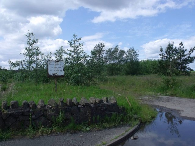
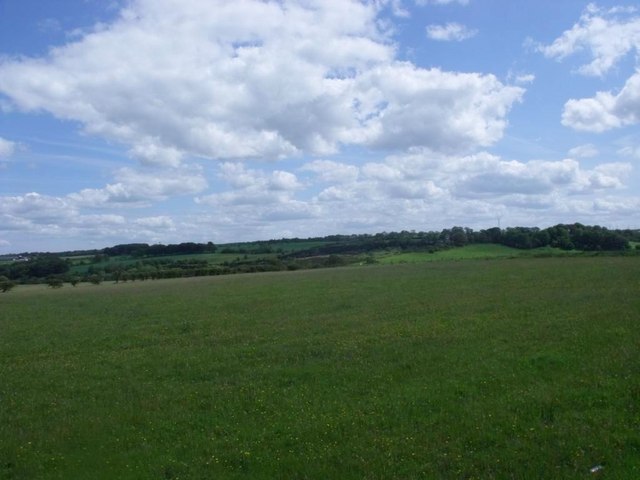
East Lodge Wood is a serene and picturesque woodland located in Lanarkshire, Scotland. Covering a vast area of land, it offers visitors a tranquil escape from the hustle and bustle of everyday life. The wood is abundant in diverse flora and fauna, making it a haven for nature enthusiasts and wildlife lovers.

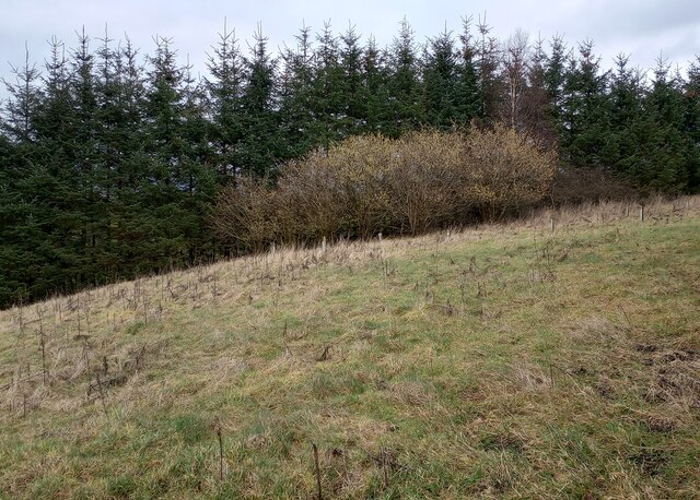
The wood is primarily composed of native deciduous trees such as oak, birch, and beech, which create a dense and vibrant canopy. This lush vegetation provides a habitat for a wide range of animals including deer, squirrels, and a variety of bird species. The wood is also home to numerous wildflowers, adding a splash of color and beauty to the landscape.

Walking trails wind their way through the wood, providing visitors with an opportunity to explore and immerse themselves in the peaceful surroundings. These trails are well-maintained and suitable for all ages and fitness levels, making it an ideal destination for a family outing or a leisurely stroll.

Several picnic areas are scattered throughout the wood, allowing visitors to relax and enjoy a meal amidst the natural beauty. Additionally, there are designated areas for camping and barbecues, making it a popular spot for outdoor enthusiasts.

East Lodge Wood is easily accessible, with ample parking available for visitors. The wood is open year-round, offering different experiences in each season. Whether it's the vibrant colors of autumn, the blooming flowers of spring, or the serene snow-covered landscape in winter, East Lodge Wood never fails to captivate and enchant its visitors.

If you have any feedback on the listing, please let us know in the comments section below.

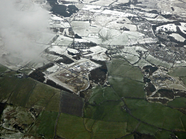
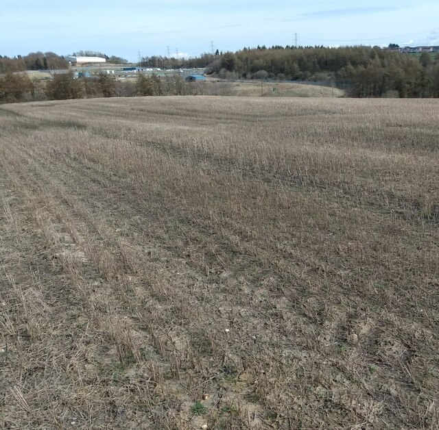
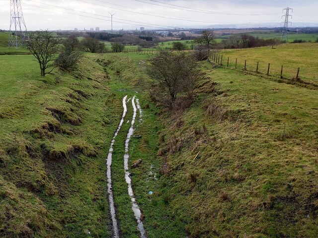
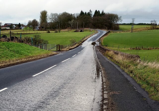
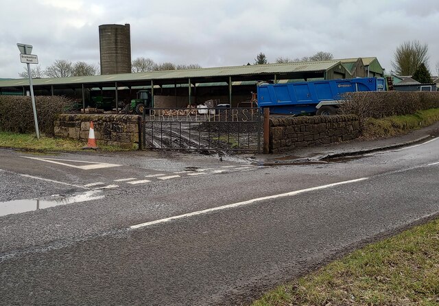
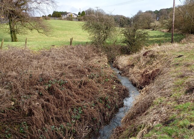
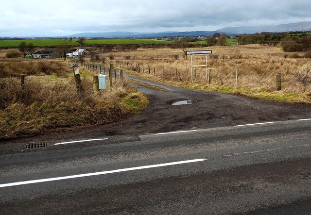
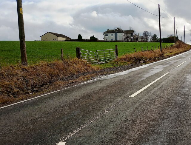
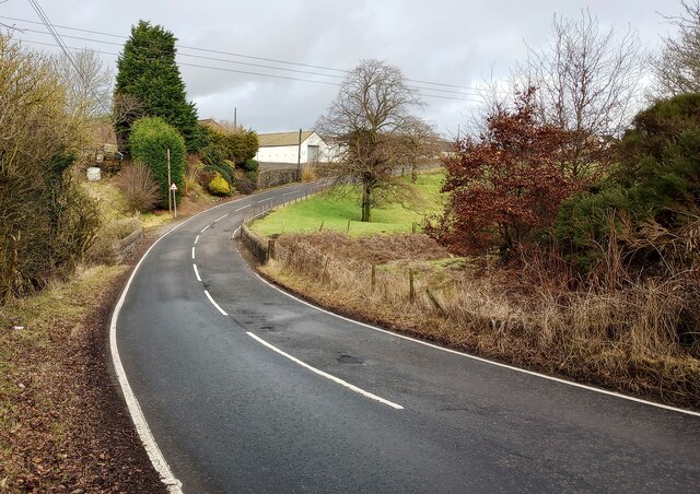
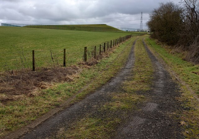
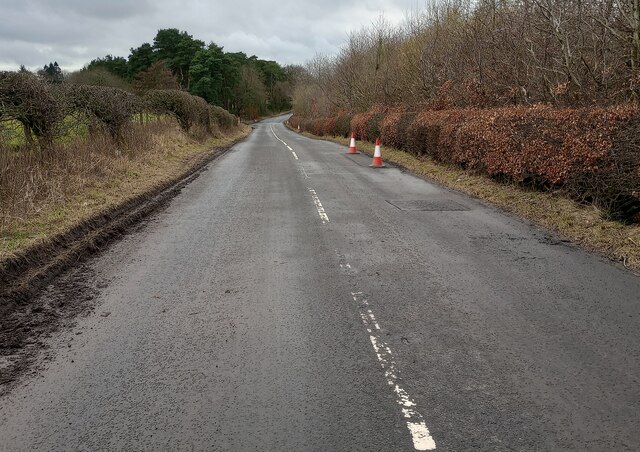
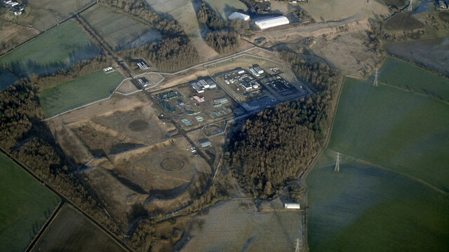
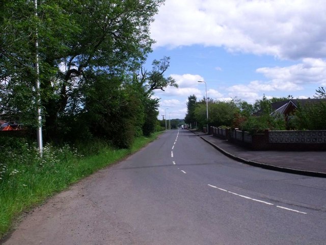
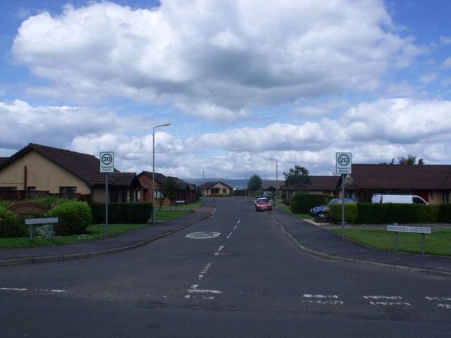
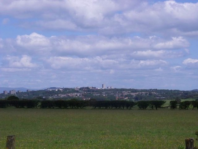
East Lodge Wood Images

Images are sourced within 2km of 55.906761/-4.0085654 or Grid Reference NS7470. Thanks to Geograph Open Source API. All images are credited.

Former Glenmavis gas storage site from the air The site was decommissioned in 2011. See a ground-level photo here <a href="https://www.geograph.org.uk/photo/1449653">NS7468 : Natural Gas Storage Tanks</a>.
Former Glenmavis gas storage site from the air
The site was decommissioned in 2011. See a ground-level photo here NS7468 : Natural Gas Storage Tanks.
Stubble from last year Presumably under sown grass will provide silage this year. Looking to former Glenmavis gas storage site. 
<a href="https://www.geograph.org.uk/photo/3328769">NS7368 : Looking East from Muirdyke Road towards the gas storage depot</a>
Stubble from last year
Presumably under sown grass will provide silage this year. Looking to former Glenmavis gas storage site. NS7368 : Looking East from Muirdyke Road towards the gas storage depot
B802: Condorrat Road The wall beside the puddle seemed to be damaged by water thrown against it over a prolonged period
B802: Condorrat Road
The wall beside the puddle seemed to be damaged by water thrown against it over a prolonged period
Brackenhirst Farm At junction of Condorrat Road and Brackenhirst Road
Brackenhirst Farm
At junction of Condorrat Road and Brackenhirst Road
Shank Burn A tributary of Luggie Water; about to run under Condorrat Road
Shank Burn
A tributary of Luggie Water; about to run under Condorrat Road
Farm entrance off B802 Access to West Gartmillan
Farm entrance off B802
Access to West Gartmillan
Looking up to Arderyth Looking at old maps the house appears to be originally of inter-war date
Looking up to Arderyth
Looking at old maps the house appears to be originally of inter-war date
Entering double bend B802 passing East Gartmillan
Entering double bend
B802 passing East Gartmillan
Track leading to covered reservoir Covered reservoir from another direction <a href="https://www.geograph.org.uk/photo/1625346">NS7568 : Covered reservoir and coal bings at Ryding</a>
Track leading to covered reservoir
Covered reservoir from another direction NS7568 : Covered reservoir and coal bings at Ryding
Signs of Spring Catkins appearing on deciduous trees with darker conifers behind
Signs of Spring
Catkins appearing on deciduous trees with darker conifers behind
Brackenhirst Road Recent patching work evident
Brackenhirst Road
Recent patching work evident
Former Glenmavis gas storage depot from the air The first LNG storage facility of its kind opened here in 1971 as the UK transitioned from coal gas to Liquefied Natural Gas (LNG). The site closed in 2012.
Former Glenmavis gas storage depot from the air
The first LNG storage facility of its kind opened here in 1971 as the UK transitioned from coal gas to Liquefied Natural Gas (LNG). The site closed in 2012.
Annathill View east along Mollinsburn Road.
Annathill
View east along Mollinsburn Road.
Annathill, Annathill Gardens Rejuvenated former coal mining village. 

See RCAHMS photos <span class="nowrap"><a title="http://canmore.rcahms.gov.uk/en/site/176592/details/annathill+village/" rel="nofollow ugc noopener" href="http://canmore.rcahms.gov.uk/en/site/176592/details/annathill+village/">Link</a><img style="margin-left:2px;" alt="External link" title="External link - shift click to open in new window" src="https://s1.geograph.org.uk/img/external.png" width="10" height="10"/></span>
and <span class="nowrap"><a title="http://www.monklands.co.uk/annathill/index.htm" rel="nofollow ugc noopener" href="http://www.monklands.co.uk/annathill/index.htm">Link</a><img style="margin-left:2px;" alt="External link" title="External link - shift click to open in new window" src="https://s1.geograph.org.uk/img/external.png" width="10" height="10"/></span> for historical description and more photos.
Annathill, Annathill Gardens
Rejuvenated former coal mining village. See RCAHMS photos LinkExternal link and LinkExternal link for historical description and more photos.
Annathill, pasture View to north-east with the town of Cumbernauld in the distance.
Annathill, pasture
View to north-east with the town of Cumbernauld in the distance.
Annathill, derelict site Built in 1985 for the travelling people it has been unused and derelict for a long time. See also <a href="https://www.geograph.org.uk/photo/153003">NS7270 : Annathill Travellers Site</a> from five years ago.
Annathill, derelict site
Built in 1985 for the travelling people it has been unused and derelict for a long time. See also NS7270 : Annathill Travellers Site from five years ago.
Annathill, pasture View to south-east towards Gain.
Annathill, pasture
View to south-east towards Gain.
Show me another place!

East Lodge Wood is located at Grid Ref: NS7470 (Lat: 55.906761, Lng: -4.0085654)

Unitary Authority: North Lanarkshire

Police Authority: Lanarkshire

What 3 Words

///hotels.shameless.brings. Near Glenmavis, North Lanarkshire

Related Wikis

Riggend

Riggend is a hamlet in North Lanarkshire, Scotland. It is on the A73 Stirling Road not far from Wattston. == References == == External links == visione...

Glenmavis

Glenmavis is a village in the North Lanarkshire area of Scotland. It is about two miles (three kilometres) northwest of Airdrie on the B802 road. It has...

Stand, North Lanarkshire

Stand is a hamlet in North Lanarkshire, Scotland situated on the A73 near Airdrie. Its Ordnance Survey grid reference is NS7668.The village appeared on...

Glenboig

Glenboig (Scottish Gaelic: An Gleann Bhog) is a village in North Lanarkshire, Scotland lying north of Coatbridge and to the south east of Kirkintilloch...

Nearby Amenities

Located within 500m of 55.906761,-4.0085654
Black Craig
Natural: peak
Lat/Long: 55.9088258/-4.0053165
Power: pole
Lat/Long: 55.9109831/-4.0112194
Power: pole
Lat/Long: 55.9111606/-4.0100841
Power: pole
Lat/Long: 55.9073331/-4.016267
Power: pole
Lat/Long: 55.9086888/-4.0136505
Power: pole
Lat/Long: 55.9091301/-4.014013
Power: pole
Lat/Long: 55.9097186/-4.0145004
Power: pole
Lat/Long: 55.9105394/-4.0096487
Power: pole
Lat/Long: 55.909833/-4.0091195
The data included in this document is from www.openstreetmap.org. The data is made available under ODbL.

Have you been to East Lodge Wood?

Leave your review of East Lodge Wood below (or comments, questions and feedback).