Summerhill Strips

Wood, Forest in Lanarkshire

Scotland

Summerhill Strips

Shank Burn A tributary of Luggie Water; about to run under Condorrat Road
Shank Burn Credit: Jim Smillie

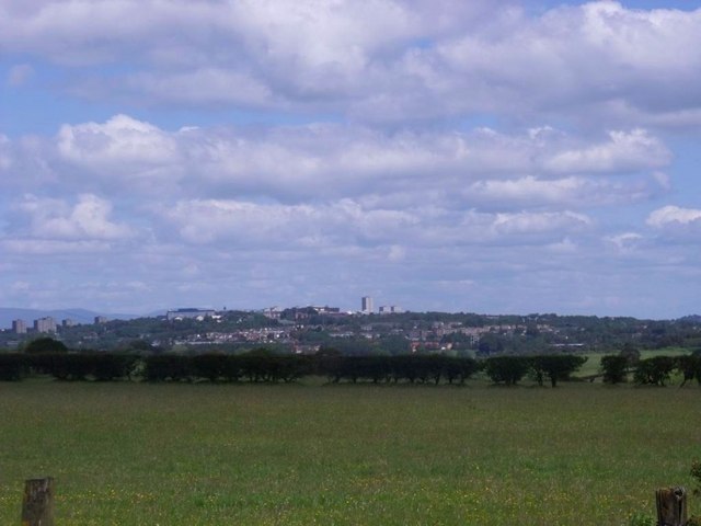
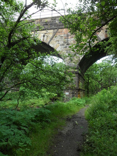
Summerhill Strips, located in Lanarkshire, Scotland, is a picturesque wood and forest area that offers a tranquil escape for nature enthusiasts. Spanning approximately 200 acres, this verdant landscape is a haven for local flora and fauna.

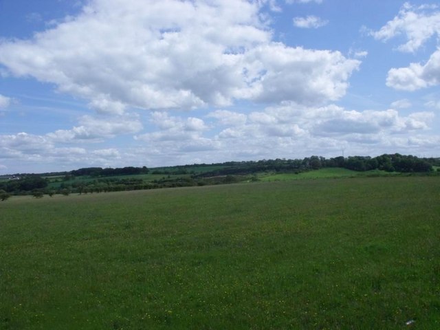
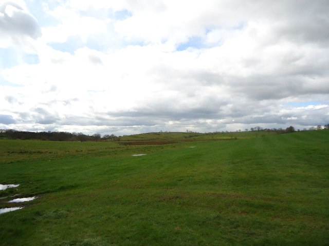
The woodlands at Summerhill Strips are characterized by a diverse array of trees, including oak, birch, beech, and pine, providing a varied and stunning canopy. The forest floor is adorned with a carpet of mosses, wildflowers, and ferns, adding to the enchanting ambiance.

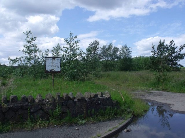
Nature lovers visiting Summerhill Strips can explore its numerous trails, which wind through the woods and offer breathtaking views of the surrounding countryside. The well-maintained paths cater to walkers, joggers, and cyclists, making it an ideal destination for outdoor activities. Along the trails, visitors may encounter a range of wildlife, such as red squirrels, roe deer, and a variety of bird species, creating ample opportunities for wildlife enthusiasts and photographers.

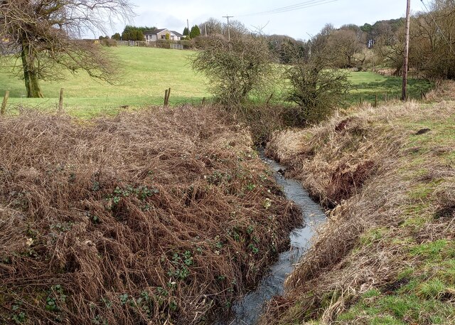
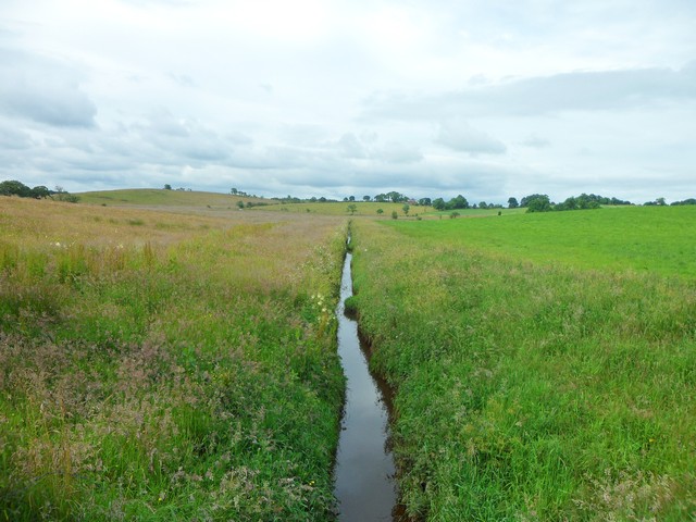
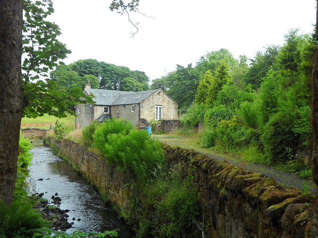
Adding to its appeal, Summerhill Strips boasts a small stream that meanders through the woodlands, adding a sense of serenity to the surroundings. Its babbling waters attract small mammals, birds, and butterflies, creating a vibrant ecosystem.

The woodlands at Summerhill Strips also serve as an educational resource, with guided tours and workshops available to help visitors learn about the local flora and fauna. Additionally, the area is equipped with picnic spots and benches, allowing visitors to relax and enjoy the idyllic surroundings.

Overall, Summerhill Strips in Lanarkshire is a captivating wood and forest area that offers an escape from the hustle and bustle of daily life, providing visitors with a chance to immerse themselves in the beauty of nature.

If you have any feedback on the listing, please let us know in the comments section below.

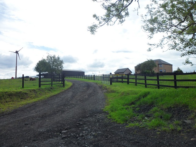
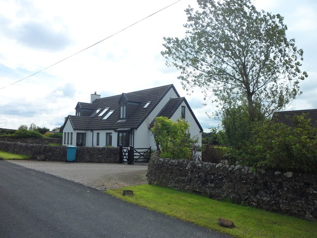
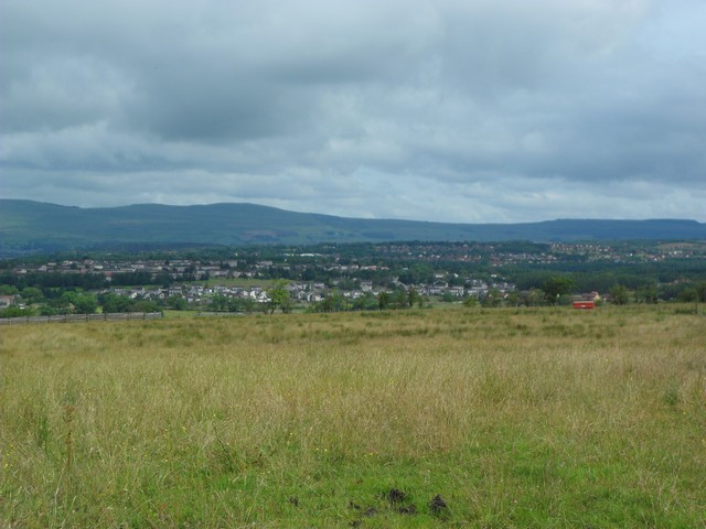
Summerhill Strips Images

Images are sourced within 2km of 55.91555/-4.0058195 or Grid Reference NS7470. Thanks to Geograph Open Source API. All images are credited.

Shank Burn A tributary of Luggie Water; about to run under Condorrat Road
Shank Burn
A tributary of Luggie Water; about to run under Condorrat Road
Farm entrance off B802 Access to West Gartmillan
Farm entrance off B802
Access to West Gartmillan
Looking up to Arderyth Looking at old maps the house appears to be originally of inter-war date
Looking up to Arderyth
Looking at old maps the house appears to be originally of inter-war date
Entering double bend B802 passing East Gartmillan
Entering double bend
B802 passing East Gartmillan
Annathill, pasture View to north-east with the town of Cumbernauld in the distance.
Annathill, pasture
View to north-east with the town of Cumbernauld in the distance.
Annathill, derelict site Built in 1985 for the travelling people it has been unused and derelict for a long time. See also <a href="https://www.geograph.org.uk/photo/153003">NS7270 : Annathill Travellers Site</a> from five years ago.
Annathill, derelict site
Built in 1985 for the travelling people it has been unused and derelict for a long time. See also NS7270 : Annathill Travellers Site from five years ago.
Annathill, pasture View to south-east towards Gain.
Annathill, pasture
View to south-east towards Gain.
Wester Myvot, grazing The shallow valley lying between Wardhead and Wester Myvot.
Wester Myvot, grazing
The shallow valley lying between Wardhead and Wester Myvot.
Hallbrae, bridgeworks Approaching from the south on Condorrat Road.
Hallbrae, bridgeworks
Approaching from the south on Condorrat Road.
Hallbrae, bridgeworks [2] The old bridge (an accident blackspot) carrying the Airdrie - Condorrat road over the railway has been demolished and is being replaced with a new structure. Traffic is temporarily diverted across the railway via a Bailey bridge. The little bridge in the foreground carries the road over the Gain Burn.
Hallbrae, bridgeworks [2]
The old bridge (an accident blackspot) carrying the Airdrie - Condorrat road over the railway has been demolished and is being replaced with a new structure. Traffic is temporarily diverted across the railway via a Bailey bridge. The little bridge in the foreground carries the road over the Gain Burn.
Riggend A very small hamlet on the A73 with the garage being the major feature of Riggend.
Riggend
A very small hamlet on the A73 with the garage being the major feature of Riggend.
Myvot Avenue, Condorrat, Cumbernauld
A very straight channel of water near Wester Myvot Clearly man-made.
A very straight channel of water near Wester Myvot
Clearly man-made.
Back route into Edengrove Just south of Wardhead Wood.
Back route into Edengrove
Just south of Wardhead Wood.
House on the Gain and Shankburn Road Just to the west of Condorrat Road.
House on the Gain and Shankburn Road
Just to the west of Condorrat Road.
View across Condorrat and Balloch From Summerhill and Garngibbock Road.
View across Condorrat and Balloch
From Summerhill and Garngibbock Road.
Milncroft Mill By the Shank Burn in North Lanarkshire.
Milncroft Mill
By the Shank Burn in North Lanarkshire.
Railway bridge over the Luggie Water In Cumbernauld.
Railway bridge over the Luggie Water
In Cumbernauld.
Show me another place!

Summerhill Strips is located at Grid Ref: NS7470 (Lat: 55.91555, Lng: -4.0058195)

Unitary Authority: North Lanarkshire

Police Authority: Lanarkshire

What 3 Words

///things.statement.origins. Near Glenmavis, North Lanarkshire

Related Wikis

Riggend

Riggend is a hamlet in North Lanarkshire, Scotland. It is on the A73 Stirling Road not far from Wattston. == References == == External links == visione...

Blairlinn

Blairlinn is the site of one of Cumbernauld's several industrial estates built as satellite developments on the periphery of the Scottish town's residential...

Greenfaulds railway station

Greenfaulds railway station serves the Greenfaulds area of Cumbernauld, North Lanarkshire, Scotland. It is also within walking distance of the Lenziemill...

Greenfaulds

Greenfaulds (Scottish Gaelic: A' Bhuaile Ghlas, IPA:[əˈvuələˈɣɫ̪as̪]) is an area of the town of Cumbernauld in Scotland. Greenfaulds was a half council...

Nearby Amenities

Located within 500m of 55.91555,-4.0058195
Summerhill
Corbett: no
Donald: no
Ele: 124
Graham: no
Munro: no
Natural: peak
Lat/Long: 55.9167582/-4.0108252
Power: pole
Lat/Long: 55.9115015/-4.0076467
Power: pole
Lat/Long: 55.9116498/-4.0064239
Power: pole
Lat/Long: 55.9117759/-4.0053115
Power: pole
Lat/Long: 55.9119651/-4.0037574
Power: pole
Lat/Long: 55.9121297/-4.0023658
Power: pole
Lat/Long: 55.9122978/-4.0009534
Power: pole
Lat/Long: 55.9120503/-4.0090216
Power: pole
Lat/Long: 55.9122219/-4.0090133
Power: pole
Lat/Long: 55.91278/-4.009105
Power: pole
Lat/Long: 55.9131746/-4.0091758
Power: pole
Lat/Long: 55.9136019/-4.009432
Power: pole
Lat/Long: 55.9140281/-4.0097674
Power: pole
Lat/Long: 55.9144355/-4.0100882
Power: pole
Lat/Long: 55.9173997/-4.0090633
Power: pole
Lat/Long: 55.9180709/-4.0086862
Power: pole
Lat/Long: 55.918741/-4.0082946
Power: pole
Lat/Long: 55.9194285/-4.00793
The data included in this document is from www.openstreetmap.org. The data is made available under ODbL.

Have you been to Summerhill Strips?

Leave your review of Summerhill Strips below (or comments, questions and feedback).