Blackcraig Wood
Wood, Forest in Lanarkshire
Scotland
Blackcraig Wood
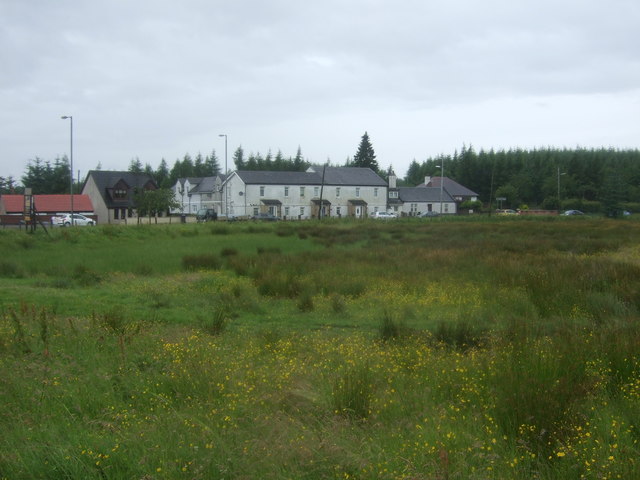
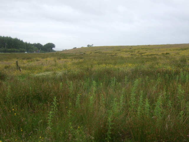
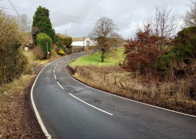
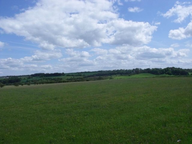
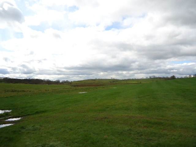
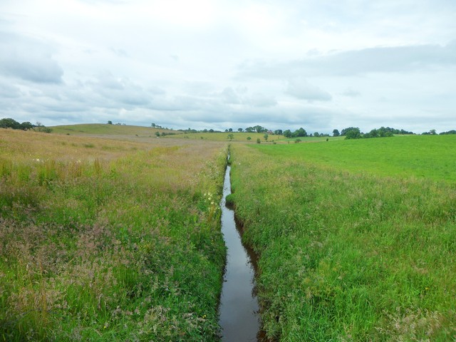
Blackcraig Wood is a serene and picturesque woodland located in Lanarkshire, Scotland. Covering an area of approximately 70 hectares, the wood is renowned for its natural beauty and diverse range of flora and fauna.
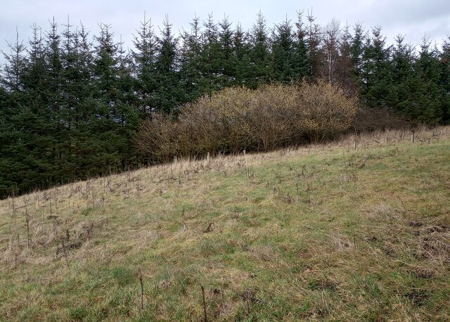
The wood is predominantly composed of native species such as oak, birch, and rowan trees, which create a dense canopy overhead. This provides a sense of tranquility and shade, making it a perfect escape from the hustle and bustle of everyday life.
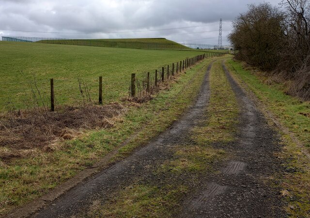
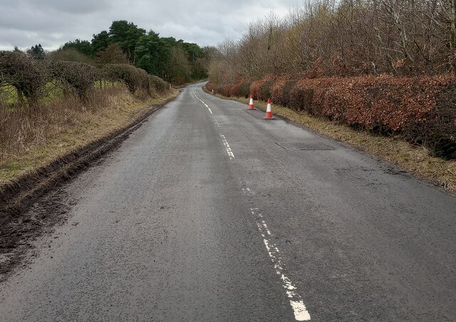
Visitors to Blackcraig Wood can enjoy a variety of activities, including walking, birdwatching, and picnicking. The wood boasts a network of well-maintained trails that wind through the woodland, offering breathtaking views of the surrounding landscape. The trails are suitable for all abilities, and there are also designated paths for cyclists and horse riders.
Wildlife enthusiasts will be delighted by the diverse range of animals and birds that call Blackcraig Wood home. Red squirrels, roe deer, and badgers are frequently spotted, while birdwatchers can expect to see woodpeckers, nuthatches, and various species of owls.
The wood is also rich in history and hosts several archaeological sites, including prehistoric settlements and ancient burial mounds. These historical features add a sense of mystery and intrigue to the wood, making it a fascinating destination for those interested in the region's past.
Overall, Blackcraig Wood is a haven of natural beauty, offering visitors a chance to immerse themselves in the tranquility of nature and explore its rich biodiversity and historical significance.
If you have any feedback on the listing, please let us know in the comments section below.
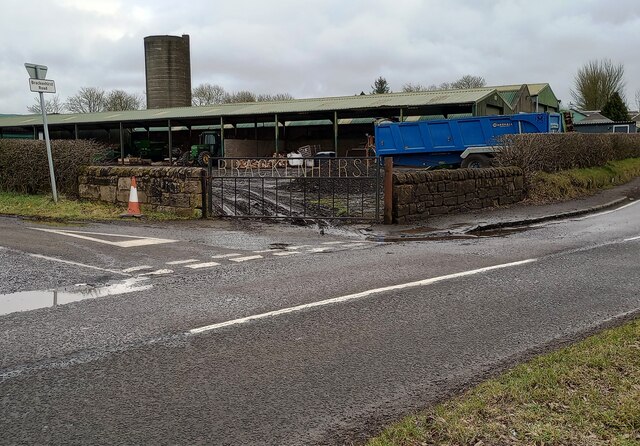
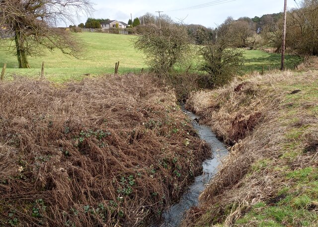
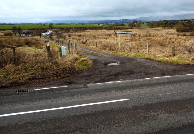
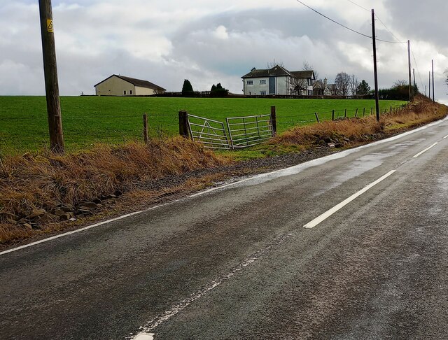
Blackcraig Wood Images
Images are sourced within 2km of 55.90986/-4.0031577 or Grid Reference NS7470. Thanks to Geograph Open Source API. All images are credited.
![Hallbrae, bridgeworks [2] The old bridge (an accident blackspot) carrying the Airdrie - Condorrat road over the railway has been demolished and is being replaced with a new structure. Traffic is temporarily diverted across the railway via a Bailey bridge. The little bridge in the foreground carries the road over the Gain Burn.](https://s2.geograph.org.uk/geophotos/02/89/80/2898026_31747b55.jpg)
Blackcraig Wood is located at Grid Ref: NS7470 (Lat: 55.90986, Lng: -4.0031577)
Unitary Authority: North Lanarkshire
Police Authority: Lanarkshire
What 3 Words
///nation.promoting.point. Near Glenmavis, North Lanarkshire
Related Wikis

Riggend
Riggend is a hamlet in North Lanarkshire, Scotland. It is on the A73 Stirling Road not far from Wattston. == References == == External links == visione...

Blairlinn
Blairlinn is the site of one of Cumbernauld's several industrial estates built as satellite developments on the periphery of the Scottish town's residential...

Stand, North Lanarkshire
Stand is a hamlet in North Lanarkshire, Scotland situated on the A73 near Airdrie. Its Ordnance Survey grid reference is NS7668.The village appeared on...

Glenmavis
Glenmavis is a village in the North Lanarkshire area of Scotland. It is about two miles (three kilometres) northwest of Airdrie on the B802 road. It has...
Revival FM
Revival FM was a British Christian-based community radio station in Scotland, operating under a Community Radio Licence. The station was located in Cumbernauld...
Wattston
Wattston is a village on the B803, west of Greengairs in North Lanarkshire, Scotland. Between them Wattston and Greengairs have about 1,190 residents....

Luggiebank
Luggiebank is a small village to the south of Cumbernauld. Like Condorrat, Castlecary and Dullatur, it predates the new town of Cumbernauld, and of those...
Greenfaulds railway station
Greenfaulds railway station serves the Greenfaulds area of Cumbernauld, North Lanarkshire, Scotland. It is also within walking distance of the Lenziemill...
Nearby Amenities
Located within 500m of 55.90986,-4.0031577Have you been to Blackcraig Wood?
Leave your review of Blackcraig Wood below (or comments, questions and feedback).