Craigneston Strip

Wood, Forest in Dumfriesshire

Scotland

Craigneston Strip

Bowling Hall By the A702 and below Craigneston Hill
Bowling Hall Credit: Leslie Barrie

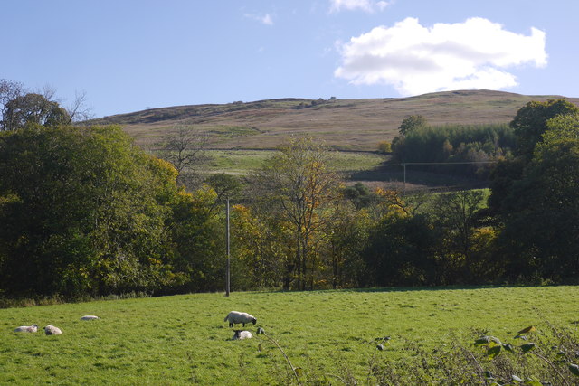
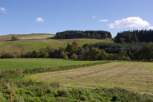
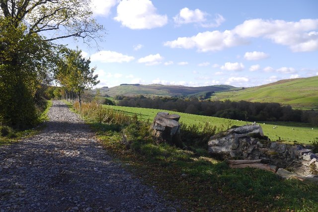
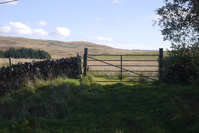
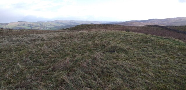
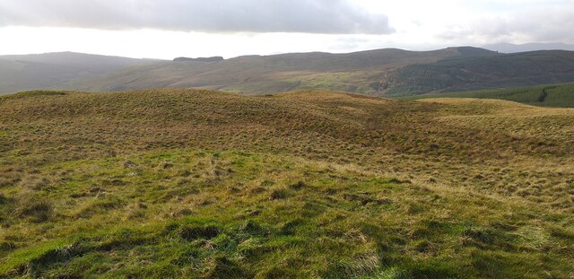
Craigneston Strip, located in Dumfriesshire, Scotland, is a picturesque wooded area that boasts an enchanting forest setting. Covering an expansive area, this woodland is a haven for nature enthusiasts and outdoor adventurers alike.

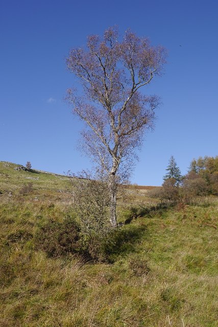
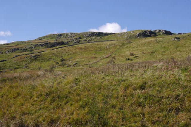
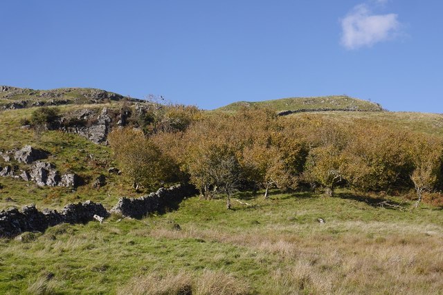
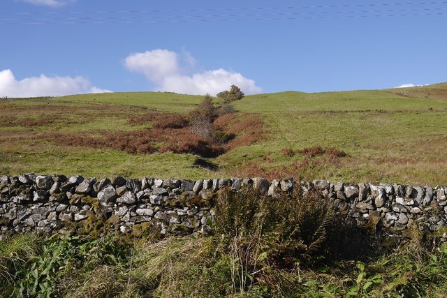
The strip is characterized by its dense foliage, with a diverse range of tree species, including oak, beech, and birch. Towering trees create a serene canopy, providing shade and shelter for an array of flora and fauna. The forest floor is covered in a rich carpet of mosses, wildflowers, and ferns, creating a vibrant and visually appealing landscape.

Tranquil streams and small rivers meander through the strip, enhancing the natural beauty of the surroundings. These water bodies not only contribute to the aesthetics but also provide a habitat for various aquatic creatures, including fish and amphibians.

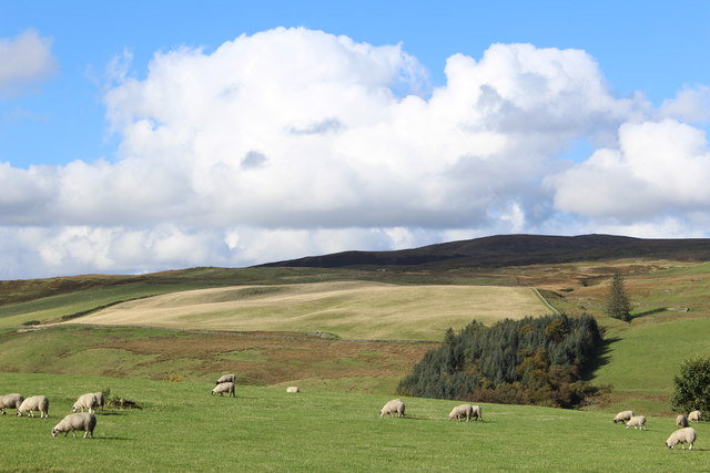
Craigneston Strip is known for its abundant wildlife. Visitors may spot deer, foxes, and rabbits as they explore the area. Birdwatchers will be delighted by the presence of numerous avian species, including woodpeckers and owls. The forest is also home to smaller creatures like squirrels and hedgehogs.

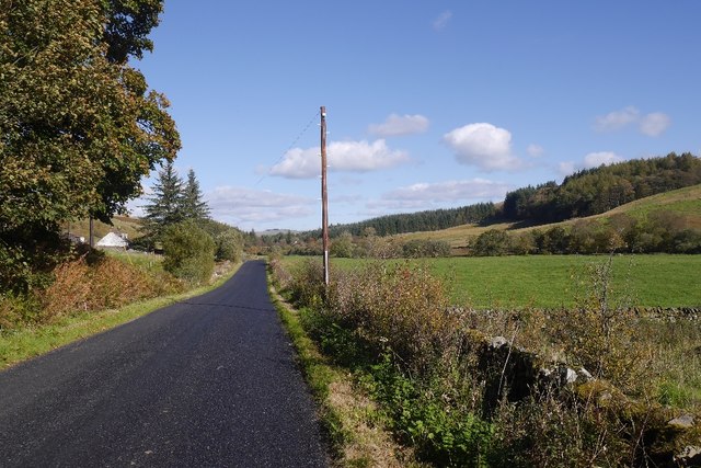
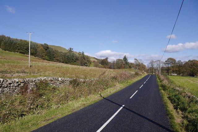
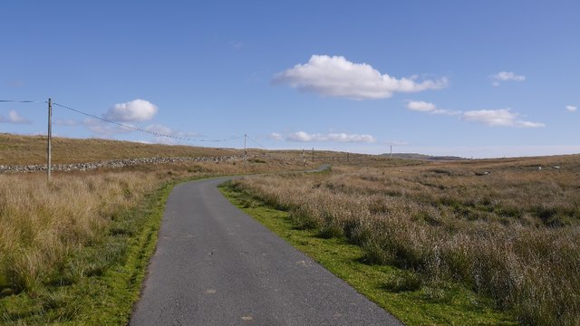
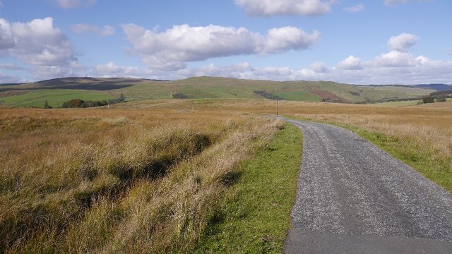
For outdoor enthusiasts, the strip offers a range of recreational activities. Hiking trails wind through the forest, allowing visitors to discover hidden gems and enjoy scenic views. The dense woodland provides an ideal setting for camping and picnicking, immersing visitors in the tranquility of nature.

Craigneston Strip, with its stunning woodland landscape, diverse wildlife, and recreational opportunities, is a must-visit destination for those seeking a connection with nature in Dumfriesshire.

If you have any feedback on the listing, please let us know in the comments section below.

Craigneston Strip Images

Images are sourced within 2km of 55.168757/-3.966113 or Grid Reference NX7487. Thanks to Geograph Open Source API. All images are credited.

Bowling Hall By the A702 and below Craigneston Hill
Bowling Hall
By the A702 and below Craigneston Hill
Road junction near Shankfoot Bridge
View towards Glencrosh Hill
Sheep, Glencrosh Grassland beside the Castlefairn Water.
Sheep, Glencrosh
Grassland beside the Castlefairn Water.
Birch under Craigneston Hill Beside the A702.
Birch under Craigneston Hill
Beside the A702.
Glencrosh Craig Crags under Craigneston Hill.
Glencrosh Craig
Crags under Craigneston Hill.
Slopes of Craigneston Hill Hazel on a craggy hillside, the scenery here is reminiscent of upland Ireland with the vegetation and low rough hills.
Slopes of Craigneston Hill
Hazel on a craggy hillside, the scenery here is reminiscent of upland Ireland with the vegetation and low rough hills.
Opposite Auchencheyne Improved grassland beside the Castlefairn Water. Most of the land away from the river is rough.
Opposite Auchencheyne
Improved grassland beside the Castlefairn Water. Most of the land away from the river is rough.
A702 Newly surfaced with very dark blacktop in the glen upstream of Moniaive.
A702
Newly surfaced with very dark blacktop in the glen upstream of Moniaive.
Opposite Auchencheyne A hillside above the A702. A burn runs down off Brown Hill and the steep sides shelter some trees from the nibblers.
Opposite Auchencheyne
A hillside above the A702. A burn runs down off Brown Hill and the steep sides shelter some trees from the nibblers.
A702 An A road, but very quiet.
A702
An A road, but very quiet.
Road to Craigmuie Newly surfaced with coarse stone. A beech tree has been felled/fallen over recently.
Road to Craigmuie
Newly surfaced with coarse stone. A beech tree has been felled/fallen over recently.
Through the gate Rough grazing and moorland, typical of the area.
Through the gate
Rough grazing and moorland, typical of the area.
Road to Loch Urr A moorland road between the Castlefairn glen and Corsock.
Road to Loch Urr
A moorland road between the Castlefairn glen and Corsock.
Road over Craigmuie Moor A gentle descent over the moors to the Castlefairn Water.
Road over Craigmuie Moor
A gentle descent over the moors to the Castlefairn Water.
Brown Hill summit area The flat summit area of Brown Hill.
Brown Hill summit area
The flat summit area of Brown Hill.
Summit area of Glencrosh Hill Summit area of Glencrosh Hill.
Summit area of Glencrosh Hill
Summit area of Glencrosh Hill.
Show me another place!

Craigneston Strip is located at Grid Ref: NX7487 (Lat: 55.168757, Lng: -3.966113)

Unitary Authority: Dumfries and Galloway

Police Authority: Dumfries and Galloway

What 3 Words

///historic.hang.unloads. Near Thornhill, Dumfries & Galloway

Nearby Locations

Craigneston Strip

Related Wikis

Craigdarroch

"Craigdarroch, An Accessory to Murder" is an expansion set for the board game Kill Doctor Lucky Craigdarroch is a house near Moniaive, Dumfries and Galloway...

Moniaive railway station

Moniaive railway station is the closed station terminus of the Cairn Valley Light Railway (CVR) branch, from Dumfries. It served the rural area of Moniaive...

Moniaive

Moniaive ( 'monny-IVE'; Scottish Gaelic: Am Moine Naomh, "The Holy Moor") is a village in the Parish of Glencairn, in Dumfries and Galloway, southwest...

Crawfordton House

Crawfordton House is a category B listed 19th-century country house, situated close to Moniaive in Dumfriesshire, Scotland. It was operated as Crawfordton...

Nearby Amenities

Located within 500m of 55.168757,-3.966113
Power: pole
Lat/Long: 55.1710806/-3.9595817
Power: pole
Lat/Long: 55.1708818/-3.9605618
Power: pole
Lat/Long: 55.1706916/-3.9614952
Power: pole
Lat/Long: 55.1700495/-3.9621698
Power: pole
Lat/Long: 55.1693055/-3.9629208
Power: pole
Lat/Long: 55.1686669/-3.9635594
Power: pole
Lat/Long: 55.1681459/-3.9640791
Power: pole
Lat/Long: 55.1673425/-3.9648874
Power: pole
Lat/Long: 55.1668663/-3.9660033
Power: pole
Lat/Long: 55.1663744/-3.9671149
Power: pole
Lat/Long: 55.1658775/-3.9682775
Power: pole
Lat/Long: 55.1653644/-3.9694657
Power: pole
Lat/Long: 55.1671487/-3.9644101
Power: pole
Lat/Long: 55.166567/-3.9630035
Power: pole
Lat/Long: 55.1661114/-3.9618898
Power: pole
Lat/Long: 55.1649239/-3.9689351
Power: pole
Lat/Long: 55.1695018/-3.9599253
Power: pole
Lat/Long: 55.1698919/-3.9594862
Power: pole
Lat/Long: 55.1702615/-3.9590534
Ford: yes
Lat/Long: 55.16814/-3.9667642
Ford: yes
Lat/Long: 55.1690933/-3.9706819
The data included in this document is from www.openstreetmap.org. The data is made available under ODbL.

Have you been to Craigneston Strip?

Leave your review of Craigneston Strip below (or comments, questions and feedback).