Wardhead Wood
Wood, Forest in Lanarkshire
Scotland
Wardhead Wood
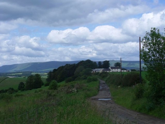
Wardhead Wood is a picturesque forest located in Lanarkshire, Scotland. Covering an area of approximately 100 acres, this woodland is a haven for nature enthusiasts and outdoor lovers alike. Situated near the small village of Kilncadzow, Wardhead Wood is easily accessible by both car and public transportation.
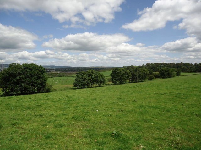
The wood boasts a diverse range of tree species, including oak, birch, and pine, creating a rich and vibrant ecosystem. Visitors can expect to encounter a variety of wildlife such as deer, foxes, and numerous bird species, making it an ideal spot for birdwatching and wildlife photography.
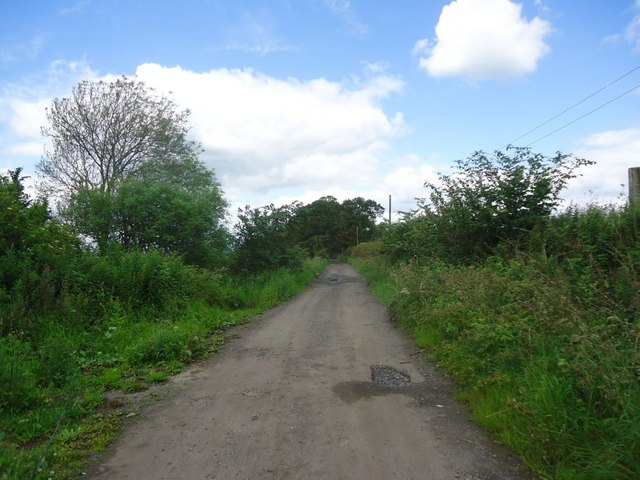
The woodland offers several well-maintained trails that cater to different fitness levels, allowing visitors to explore its beauty at their own pace. These trails wind through the forest, offering stunning views of the surrounding countryside and the nearby Tinto Hill.
Wardhead Wood also features a picnic area, perfect for enjoying a packed lunch amidst the tranquil surroundings. The peaceful ambiance and abundant flora and fauna make it an ideal spot for relaxation and meditation.
Additionally, the forest is popular among locals for recreational activities such as jogging, dog walking, and cycling. Its well-marked paths and gentle terrain make it suitable for families with young children as well.
Overall, Wardhead Wood in Lanarkshire is a cherished natural gem, providing a refreshing escape from the hustle and bustle of daily life. Its enchanting beauty and serene atmosphere make it a must-visit destination for nature lovers and outdoor enthusiasts.
If you have any feedback on the listing, please let us know in the comments section below.
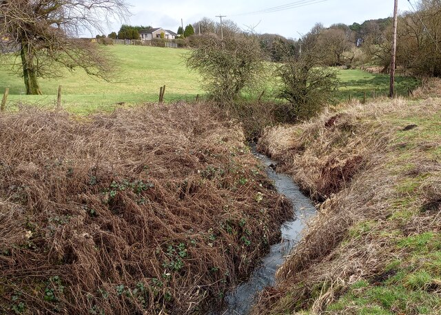
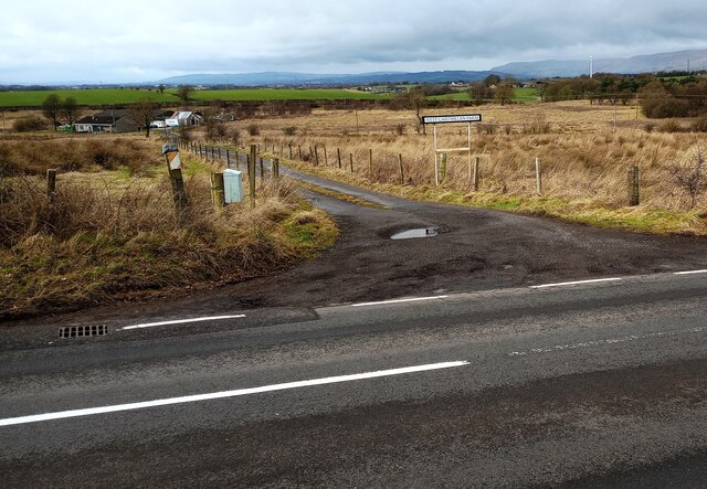
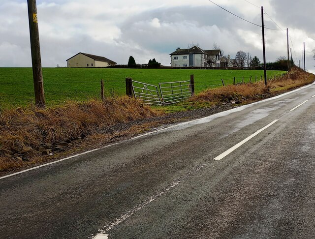
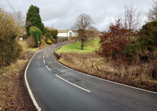
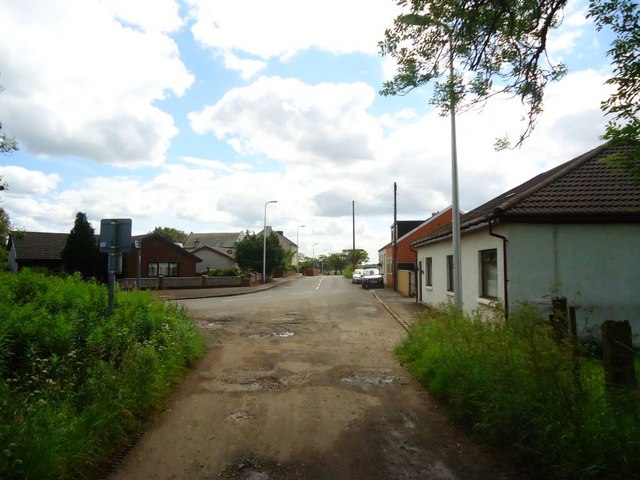
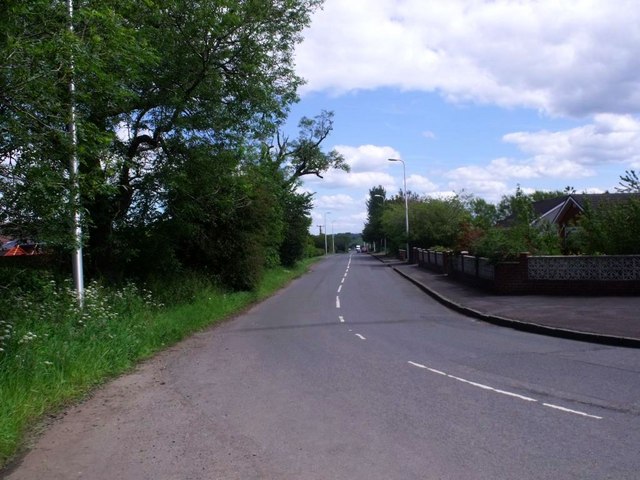
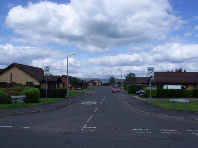
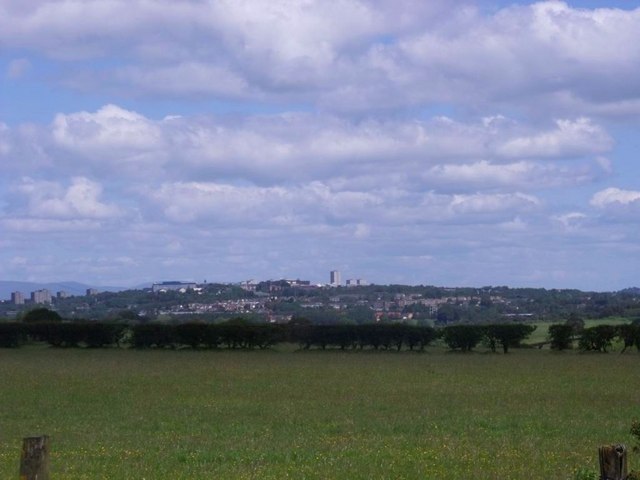
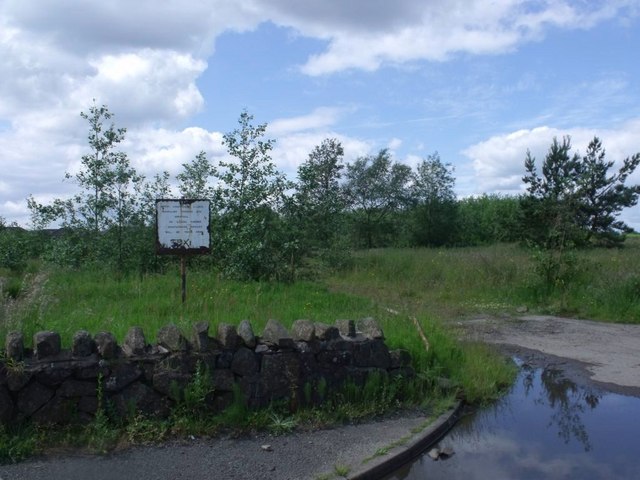
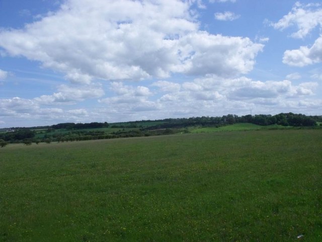
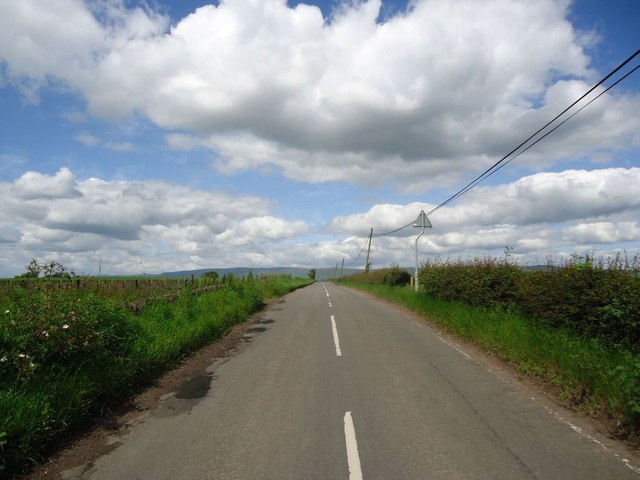
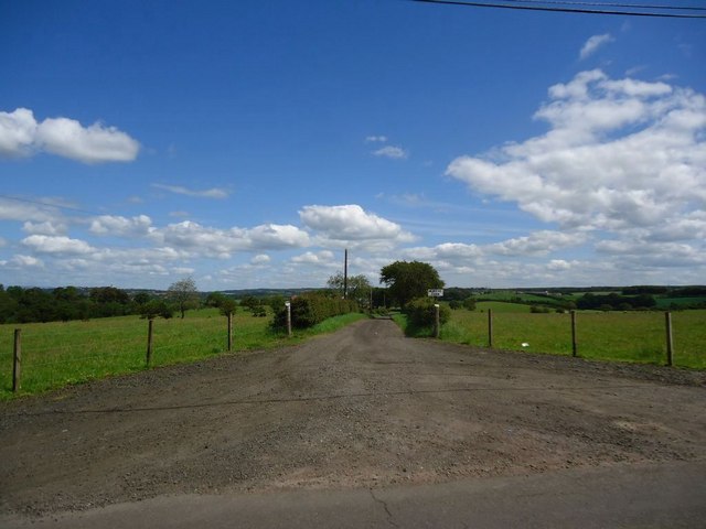
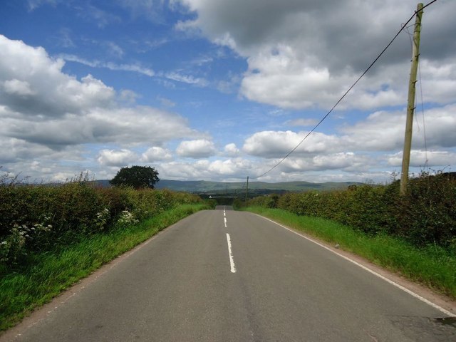
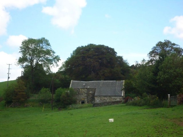
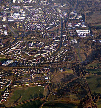
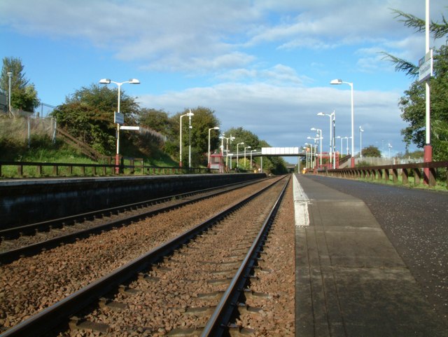
Wardhead Wood Images
Images are sourced within 2km of 55.912914/-4.0164841 or Grid Reference NS7470. Thanks to Geograph Open Source API. All images are credited.
Wardhead Wood is located at Grid Ref: NS7470 (Lat: 55.912914, Lng: -4.0164841)
Unitary Authority: North Lanarkshire
Police Authority: Lanarkshire
What 3 Words
///fearfully.footsteps.listening. Near Glenboig, North Lanarkshire
Related Wikis

Riggend
Riggend is a hamlet in North Lanarkshire, Scotland. It is on the A73 Stirling Road not far from Wattston. == References == == External links == visione...

Mollinsburn
Mollinsburn is a settlement in the North Lanarkshire area of Scotland. It is situated on the A80 road between Condorrat to the east and Moodiesburn to...

Condorrat
Condorrat is a former village in North Lanarkshire, Scotland. Like Luggiebank, Castlecary and Dullatur, it predates the new town of Cumbernauld, but unlike...
Greenfaulds
Greenfaulds (Scottish Gaelic: A' Bhuaile Ghlas, IPA:[əˈvuələˈɣɫ̪as̪]) is an area of the town of Cumbernauld in Scotland. Greenfaulds was a half council...
Blairlinn
Blairlinn is the site of one of Cumbernauld's several industrial estates built as satellite developments on the periphery of the Scottish town's residential...

Greenfaulds High School
Greenfaulds High School is a mixed, non-denominational six-year comprehensive secondary school. The original building was opened in 1971, while the new...

Glenboig
Glenboig (Scottish Gaelic: An Gleann Bhog) is a village in North Lanarkshire, Scotland lying north of Coatbridge and to the south east of Kirkintilloch...
Greenfaulds railway station
Greenfaulds railway station serves the Greenfaulds area of Cumbernauld, North Lanarkshire, Scotland. It is also within walking distance of the Lenziemill...
Related Videos


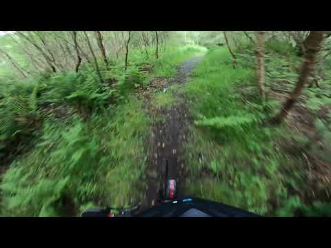
Glenboig MTB mashup
Short sections of trails near Glenboig, some dodgy editing.
Nearby Amenities
Located within 500m of 55.912914,-4.0164841Have you been to Wardhead Wood?
Leave your review of Wardhead Wood below (or comments, questions and feedback).