Summerfield Strip

Wood, Forest in Lanarkshire

Scotland

Summerfield Strip

Shank Burn A tributary of Luggie Water; about to run under Condorrat Road
Shank Burn Credit: Jim Smillie

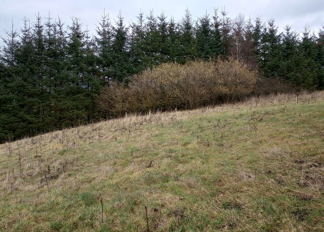
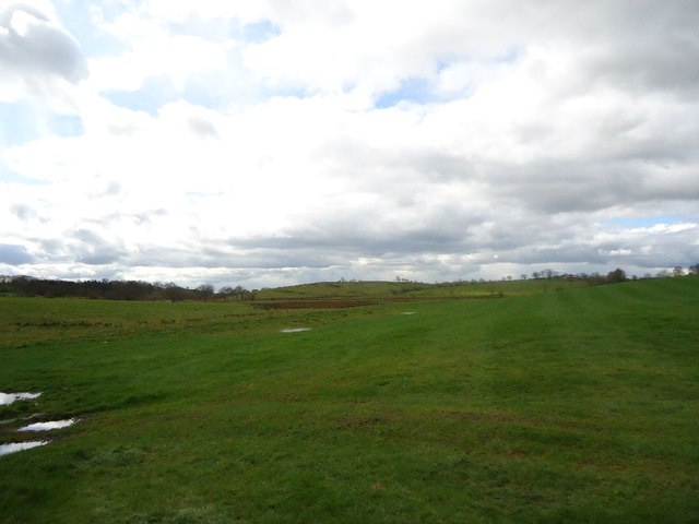
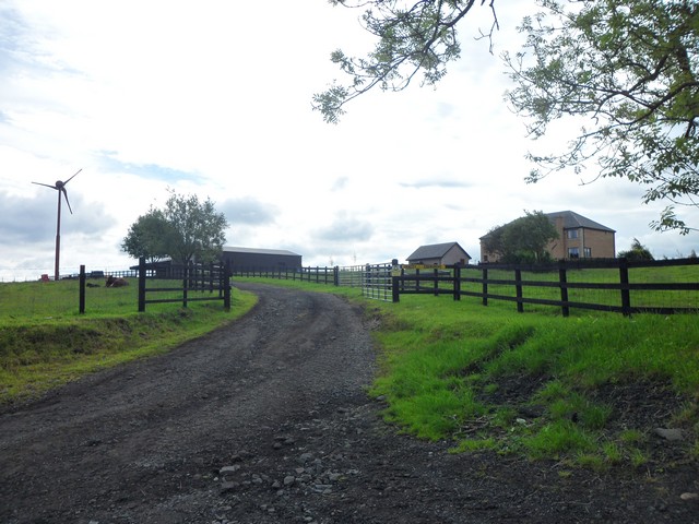
Summerfield Strip is a picturesque woodland area located in Lanarkshire, Scotland. Nestled amidst the breathtaking landscapes of the region, this forested area covers a vast expanse, offering visitors a serene and enchanting experience.

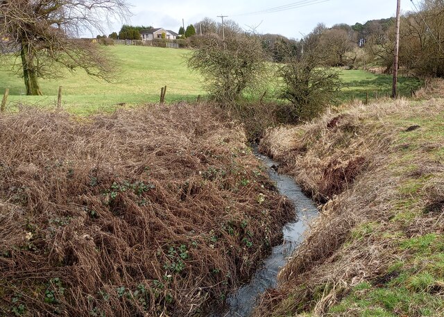
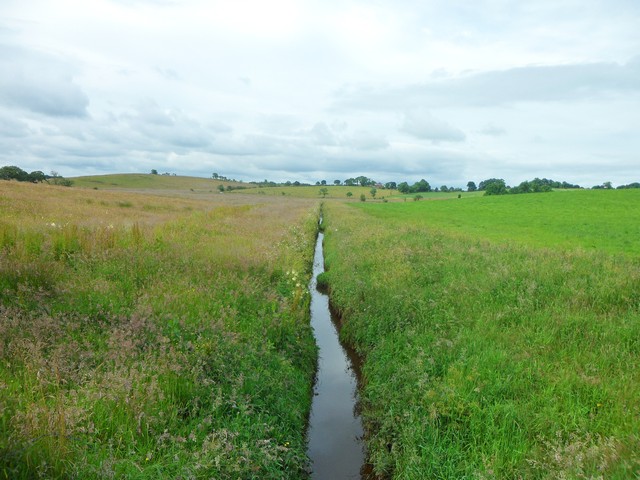
The woodland is known for its dense canopy of trees that provide ample shade and create a tranquil atmosphere. Towering oak, beech, and pine trees dominate the landscape, while the forest floor is adorned with a variety of vibrant wildflowers and ferns. The lush greenery and the symphony of birdsong create a soothing ambiance, making it an ideal destination for nature lovers and outdoor enthusiasts.

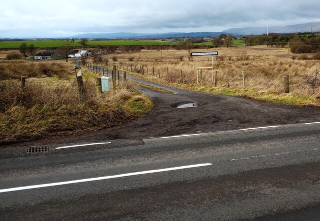
Summerfield Strip is not only a haven for flora and fauna but also a popular spot for recreational activities. Several well-maintained trails wind their way through the forest, offering hikers and walkers the opportunity to explore the area's natural beauty. The trails vary in difficulty, catering to both experienced trekkers and beginners.

The woodland also boasts a diverse range of wildlife, including red squirrels, badgers, and various species of birds. It is not uncommon to catch a glimpse of these creatures as you wander through the forest. Birdwatchers will be delighted by the abundance of avian species that inhabit the area, such as woodpeckers, owls, and finches.

Visitors to Summerfield Strip will find a sense of tranquility in the heart of nature. The forest's captivating beauty and peaceful atmosphere make it a must-visit destination for those seeking solace in the embrace of the great outdoors.

If you have any feedback on the listing, please let us know in the comments section below.

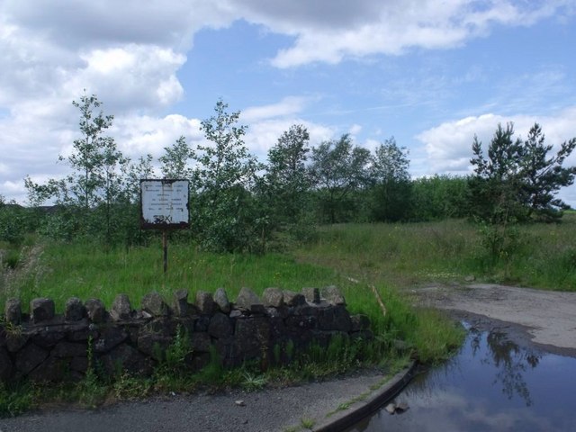
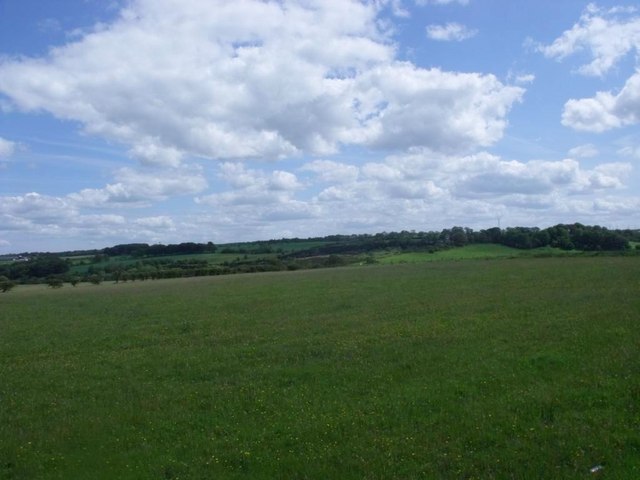
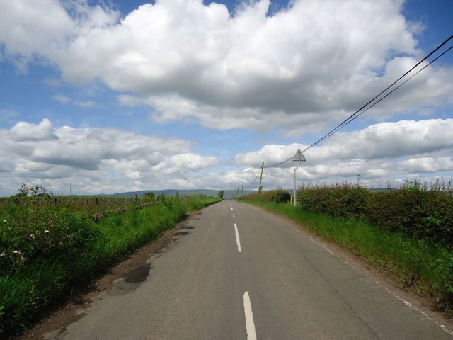
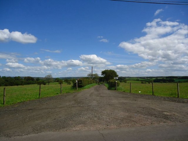
Summerfield Strip Images

Images are sourced within 2km of 55.912668/-4.0078468 or Grid Reference NS7470. Thanks to Geograph Open Source API. All images are credited.

Shank Burn A tributary of Luggie Water; about to run under Condorrat Road
Shank Burn
A tributary of Luggie Water; about to run under Condorrat Road
Farm entrance off B802 Access to West Gartmillan
Farm entrance off B802
Access to West Gartmillan
Looking up to Arderyth Looking at old maps the house appears to be originally of inter-war date
Looking up to Arderyth
Looking at old maps the house appears to be originally of inter-war date
Entering double bend B802 passing East Gartmillan
Entering double bend
B802 passing East Gartmillan
Signs of Spring Catkins appearing on deciduous trees with darker conifers behind
Signs of Spring
Catkins appearing on deciduous trees with darker conifers behind
Brackenhirst Road Recent patching work evident
Brackenhirst Road
Recent patching work evident
Annathill, Annathill Gardens Rejuvenated former coal mining village. 

See RCAHMS photos <span class="nowrap"><a title="http://canmore.rcahms.gov.uk/en/site/176592/details/annathill+village/" rel="nofollow ugc noopener" href="http://canmore.rcahms.gov.uk/en/site/176592/details/annathill+village/">Link</a><img style="margin-left:2px;" alt="External link" title="External link - shift click to open in new window" src="https://s1.geograph.org.uk/img/external.png" width="10" height="10"/></span>
and <span class="nowrap"><a title="http://www.monklands.co.uk/annathill/index.htm" rel="nofollow ugc noopener" href="http://www.monklands.co.uk/annathill/index.htm">Link</a><img style="margin-left:2px;" alt="External link" title="External link - shift click to open in new window" src="https://s1.geograph.org.uk/img/external.png" width="10" height="10"/></span> for historical description and more photos.
Annathill, Annathill Gardens
Rejuvenated former coal mining village. See RCAHMS photos LinkExternal link and LinkExternal link for historical description and more photos.
Annathill, pasture View to north-east with the town of Cumbernauld in the distance.
Annathill, pasture
View to north-east with the town of Cumbernauld in the distance.
Annathill, derelict site Built in 1985 for the travelling people it has been unused and derelict for a long time. See also <a href="https://www.geograph.org.uk/photo/153003">NS7270 : Annathill Travellers Site</a> from five years ago.
Annathill, derelict site
Built in 1985 for the travelling people it has been unused and derelict for a long time. See also NS7270 : Annathill Travellers Site from five years ago.
Annathill, pasture View to south-east towards Gain.
Annathill, pasture
View to south-east towards Gain.
Mollinsburn Road The crest of the hill is 108m ASL.
Mollinsburn Road
The crest of the hill is 108m ASL.
Muirend Farm, road
Muirend Farm, road
Wester Myvot, grazing The shallow valley lying between Wardhead and Wester Myvot.
Wester Myvot, grazing
The shallow valley lying between Wardhead and Wester Myvot.
Hallbrae, bridgeworks Approaching from the south on Condorrat Road.
Hallbrae, bridgeworks
Approaching from the south on Condorrat Road.
Hallbrae, bridgeworks [2] The old bridge (an accident blackspot) carrying the Airdrie - Condorrat road over the railway has been demolished and is being replaced with a new structure. Traffic is temporarily diverted across the railway via a Bailey bridge. The little bridge in the foreground carries the road over the Gain Burn.
Hallbrae, bridgeworks [2]
The old bridge (an accident blackspot) carrying the Airdrie - Condorrat road over the railway has been demolished and is being replaced with a new structure. Traffic is temporarily diverted across the railway via a Bailey bridge. The little bridge in the foreground carries the road over the Gain Burn.
Riggend A very small hamlet on the A73 with the garage being the major feature of Riggend.
Riggend
A very small hamlet on the A73 with the garage being the major feature of Riggend.
A very straight channel of water near Wester Myvot Clearly man-made.
A very straight channel of water near Wester Myvot
Clearly man-made.
Back route into Edengrove Just south of Wardhead Wood.
Back route into Edengrove
Just south of Wardhead Wood.
Show me another place!

Summerfield Strip is located at Grid Ref: NS7470 (Lat: 55.912668, Lng: -4.0078468)

Unitary Authority: North Lanarkshire

Police Authority: Lanarkshire

What 3 Words

///afford.trading.angry. Near Glenmavis, North Lanarkshire

Related Wikis

Riggend

Riggend is a hamlet in North Lanarkshire, Scotland. It is on the A73 Stirling Road not far from Wattston. == References == == External links == visione...

Blairlinn

Blairlinn is the site of one of Cumbernauld's several industrial estates built as satellite developments on the periphery of the Scottish town's residential...

Greenfaulds

Greenfaulds (Scottish Gaelic: A' Bhuaile Ghlas, IPA:[əˈvuələˈɣɫ̪as̪]) is an area of the town of Cumbernauld in Scotland. Greenfaulds was a half council...

Greenfaulds railway station

Greenfaulds railway station serves the Greenfaulds area of Cumbernauld, North Lanarkshire, Scotland. It is also within walking distance of the Lenziemill...

Nearby Amenities

Located within 500m of 55.912668,-4.0078468
Summerhill
Corbett: no
Donald: no
Ele: 124
Graham: no
Munro: no
Natural: peak
Lat/Long: 55.9167582/-4.0108252
Black Craig
Natural: peak
Lat/Long: 55.9088258/-4.0053165
Power: pole
Lat/Long: 55.9105033/-4.0136651
Power: pole
Lat/Long: 55.9107881/-4.0124652
Power: pole
Lat/Long: 55.9109831/-4.0112194
Power: pole
Lat/Long: 55.9111606/-4.0100841
Power: pole
Lat/Long: 55.9113533/-4.0088987
Power: pole
Lat/Long: 55.9115015/-4.0076467
Power: pole
Lat/Long: 55.9116498/-4.0064239
Power: pole
Lat/Long: 55.9117759/-4.0053115
Power: pole
Lat/Long: 55.9119651/-4.0037574
Power: pole
Lat/Long: 55.9121297/-4.0023658
Power: pole
Lat/Long: 55.9122978/-4.0009534
Power: pole
Lat/Long: 55.9113708/-4.0118506
Power: pole
Lat/Long: 55.9113206/-4.0121777
Power: pole
Lat/Long: 55.9112727/-4.0125276
Power: pole
Lat/Long: 55.9105394/-4.0096487
Power: pole
Lat/Long: 55.909833/-4.0091195
Power: pole
Lat/Long: 55.9120503/-4.0090216
Power: pole
Lat/Long: 55.9122219/-4.0090133
Power: pole
Lat/Long: 55.91278/-4.009105
Power: pole
Lat/Long: 55.9131746/-4.0091758
Power: pole
Lat/Long: 55.9136019/-4.009432
Power: pole
Lat/Long: 55.9140281/-4.0097674
Power: pole
Lat/Long: 55.9144355/-4.0100882
The data included in this document is from www.openstreetmap.org. The data is made available under ODbL.

Have you been to Summerfield Strip?

Leave your review of Summerfield Strip below (or comments, questions and feedback).