Broomlee Strip
Wood, Forest in Lanarkshire
Scotland
Broomlee Strip
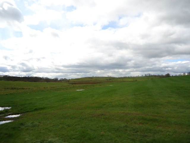
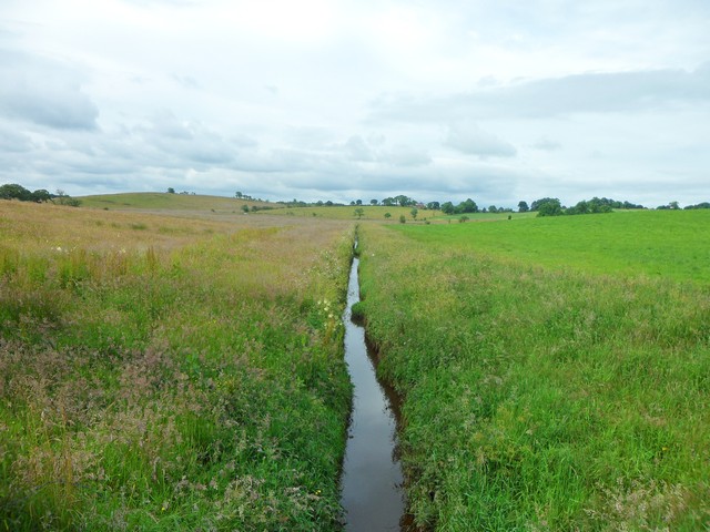
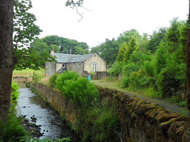
Broomlee Strip is a beautiful wood located in Lanarkshire, Scotland. This forested area covers approximately 1,000 acres and is a popular destination for nature enthusiasts and outdoor adventurers. Its serene atmosphere and diverse flora and fauna make it a haven for those seeking tranquility and a connection with nature.
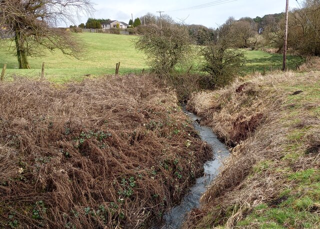
The forest is situated in the heart of the countryside, surrounded by rolling hills and picturesque landscapes. It is primarily composed of deciduous trees such as oak, birch, and beech, which provide a stunning display of colors during the autumn months. The wood is also home to a variety of wildlife, including red deer, foxes, badgers, and a rich bird population, making it a perfect spot for birdwatching and wildlife spotting.
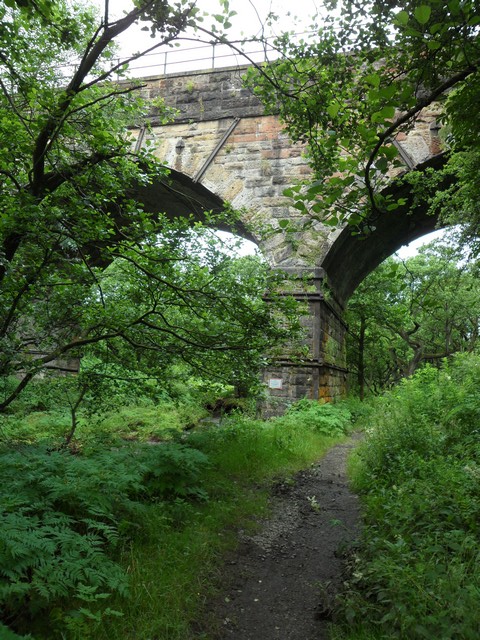
Broomlee Strip offers a network of well-maintained trails that wind through the wood, allowing visitors to explore its beauty on foot or by bike. These trails vary in difficulty, making them suitable for both casual walkers and experienced hikers. The wood also features picnic areas and viewpoints, offering visitors the opportunity to relax and take in the breathtaking surroundings.
In addition to its natural beauty, Broomlee Strip has historical significance. The wood was once part of the ancient Caledonian Forest that covered much of Scotland thousands of years ago. Today, remnants of this ancient forest can still be seen in the form of ancient trees and archaeological sites.
Overall, Broomlee Strip in Lanarkshire is a captivating wood that offers a peaceful retreat into nature. Its combination of stunning landscapes, diverse wildlife, and historical significance make it a must-visit destination for nature lovers and history enthusiasts alike.
If you have any feedback on the listing, please let us know in the comments section below.
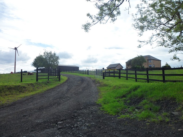
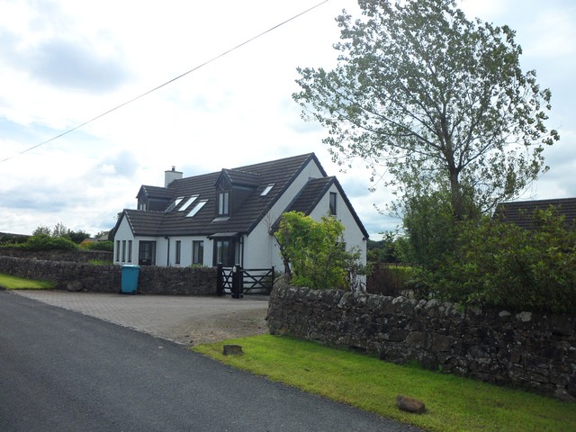
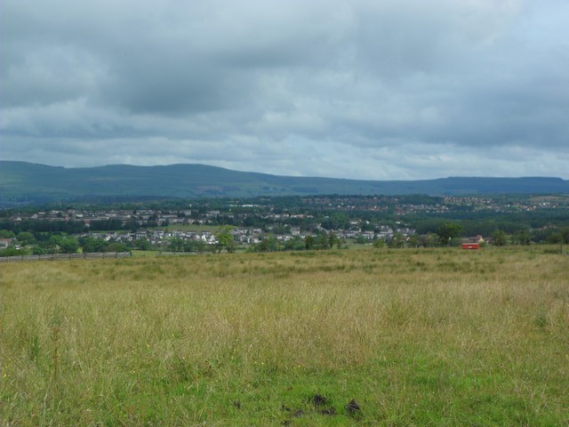
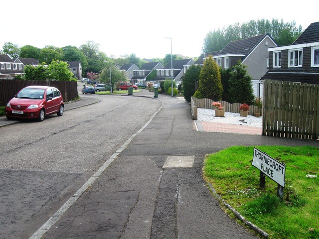
Broomlee Strip Images
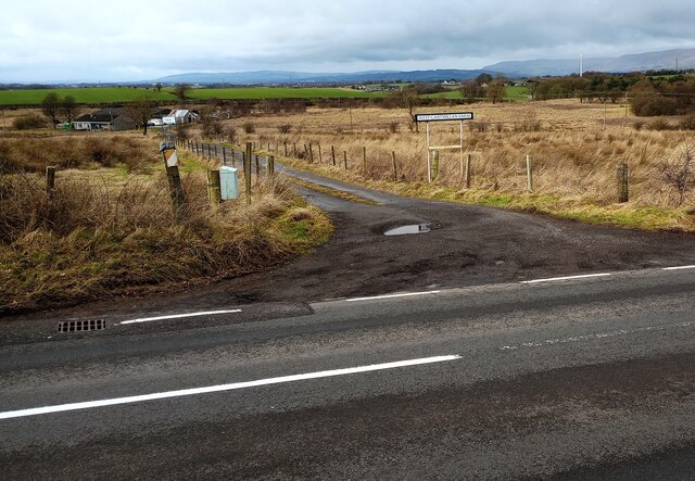
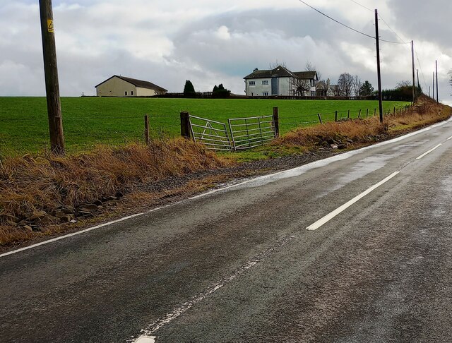
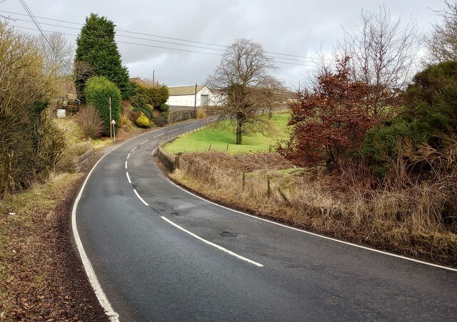
Images are sourced within 2km of 55.915514/-4.0025212 or Grid Reference NS7470. Thanks to Geograph Open Source API. All images are credited.
![Hallbrae, bridgeworks [2] The old bridge (an accident blackspot) carrying the Airdrie - Condorrat road over the railway has been demolished and is being replaced with a new structure. Traffic is temporarily diverted across the railway via a Bailey bridge. The little bridge in the foreground carries the road over the Gain Burn.](https://s2.geograph.org.uk/geophotos/02/89/80/2898026_31747b55.jpg)
Broomlee Strip is located at Grid Ref: NS7470 (Lat: 55.915514, Lng: -4.0025212)
Unitary Authority: North Lanarkshire
Police Authority: Lanarkshire
What 3 Words
///newspaper.extension.civil. Near Glenmavis, North Lanarkshire
Related Wikis

Riggend
Riggend is a hamlet in North Lanarkshire, Scotland. It is on the A73 Stirling Road not far from Wattston. == References == == External links == visione...

Blairlinn
Blairlinn is the site of one of Cumbernauld's several industrial estates built as satellite developments on the periphery of the Scottish town's residential...
Greenfaulds railway station
Greenfaulds railway station serves the Greenfaulds area of Cumbernauld, North Lanarkshire, Scotland. It is also within walking distance of the Lenziemill...

Revival FM
Revival FM was a British Christian-based community radio station in Scotland, operating under a Community Radio Licence. The station was located in Cumbernauld...
Nearby Amenities
Located within 500m of 55.915514,-4.0025212Have you been to Broomlee Strip?
Leave your review of Broomlee Strip below (or comments, questions and feedback).