Oak Wood
Wood, Forest in Ross-shire
Scotland
Oak Wood
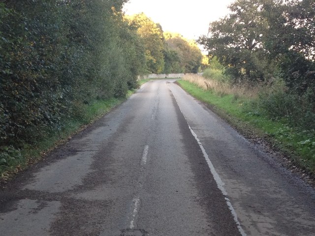
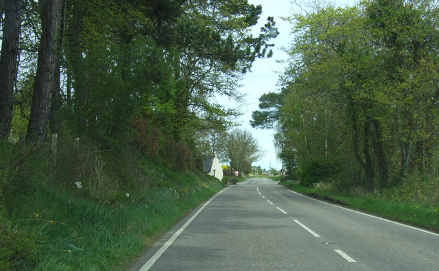
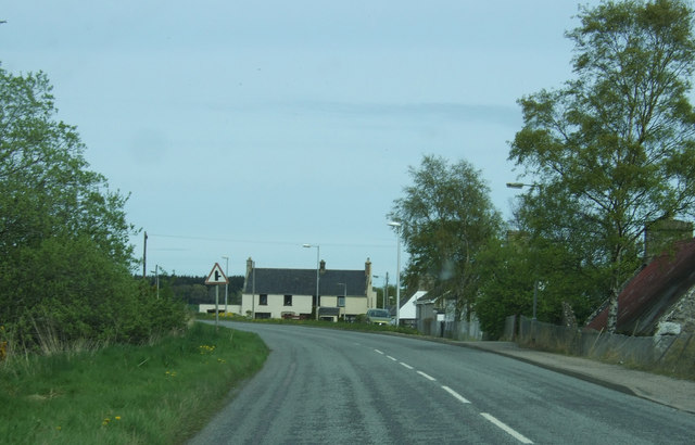
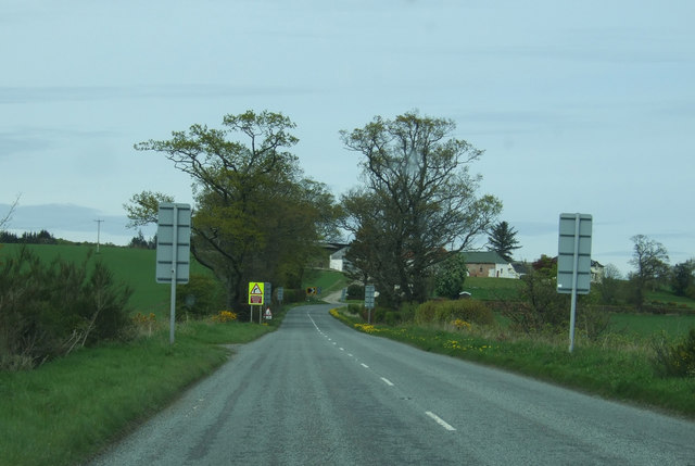
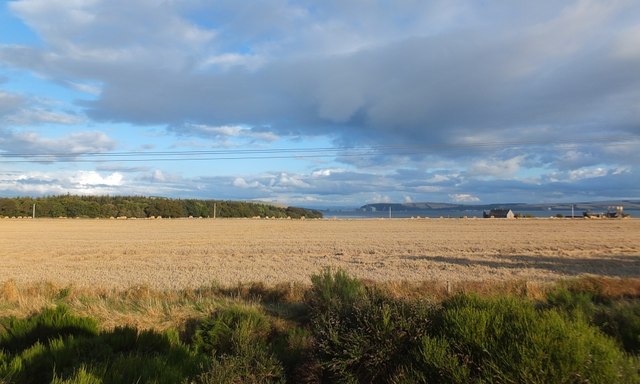
Oak Wood, located in Ross-shire, Scotland, is a picturesque forest known for its abundant oak trees and diverse wildlife. Spread across a vast area, this woodland is a popular destination for nature enthusiasts, hikers, and photographers.
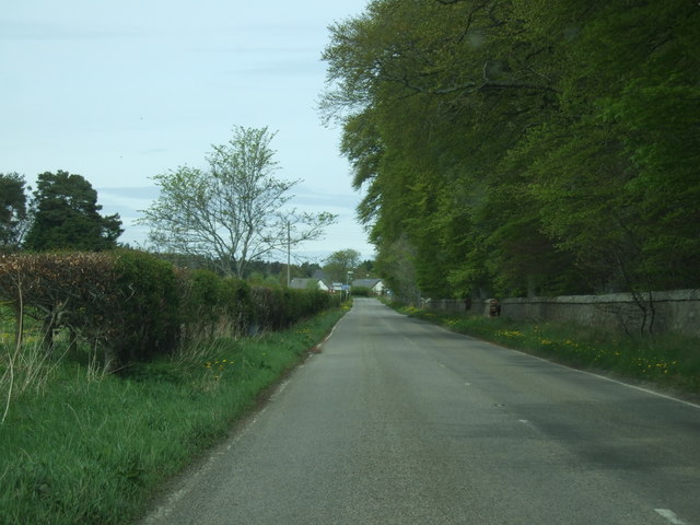
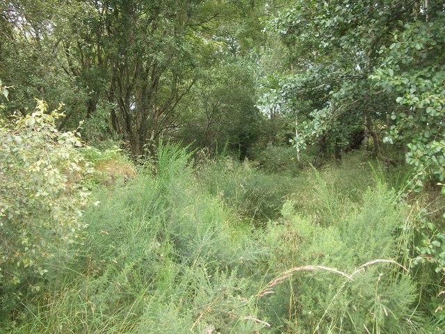
The forest is characterized by its dense canopy of majestic oak trees, which provide shelter and habitat for a variety of flora and fauna. The oaks themselves are of different ages and sizes, ranging from young saplings to ancient giants that have withstood the test of time. Their branches intertwine to form a beautiful green canopy, allowing only slivers of sunlight to filter through to the forest floor.
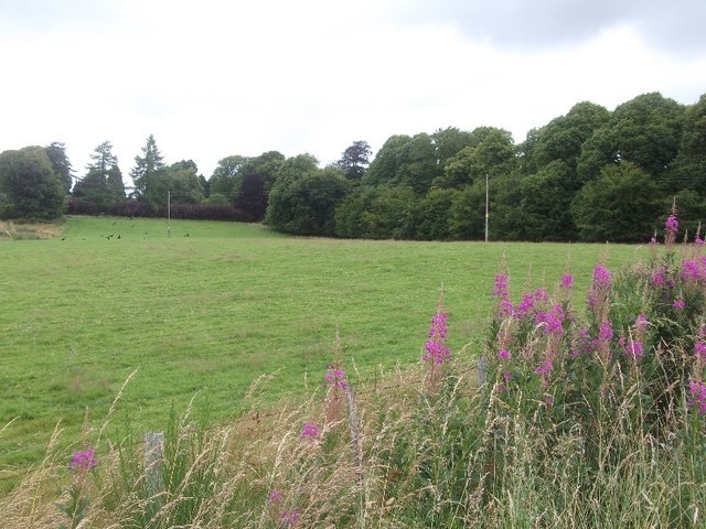
The forest floor is covered in a thick layer of fallen leaves, creating a soft carpet underfoot. This rich leaf litter provides nutrients, shelter, and protection for a wide array of plant and animal species. Mosses, ferns, and wildflowers thrive in the damp, shaded environment, adding pops of color to the otherwise green landscape.
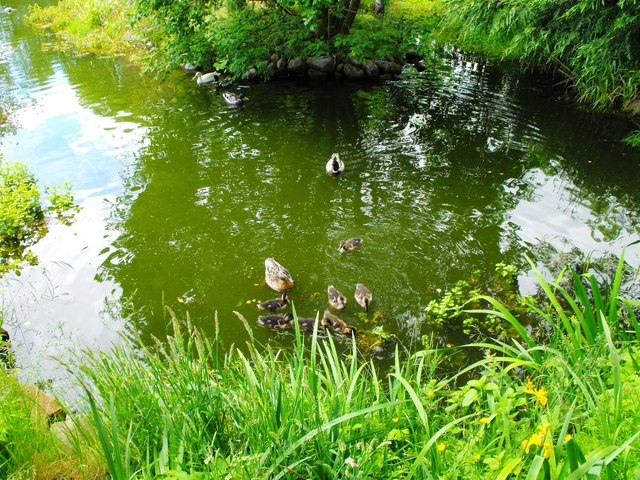
The diverse wildlife found in Oak Wood includes red squirrels, roe deer, and numerous bird species. Birdwatchers can spot woodpeckers, owls, and thrushes among the treetops, while lucky visitors might catch a glimpse of elusive pine martens or badgers.
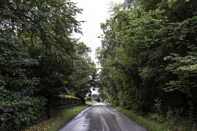
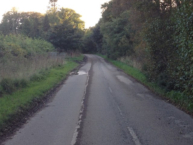
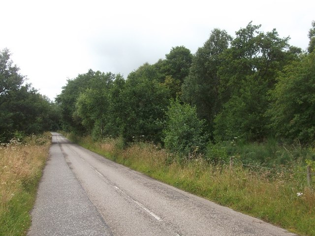
Trails wind their way through Oak Wood, offering visitors the opportunity to explore the forest's hidden gems. These pathways provide a chance to immerse oneself in the tranquil surroundings, breathe in the fresh air, and appreciate the beauty of nature.
Overall, Oak Wood in Ross-shire is a remarkable woodland that showcases the natural beauty of Scotland. With its ancient oaks, diverse wildlife, and scenic trails, it is a must-visit destination for anyone seeking a peaceful and enriching experience in the great outdoors.
If you have any feedback on the listing, please let us know in the comments section below.
Oak Wood Images
Images are sourced within 2km of 57.732894/-4.1017845 or Grid Reference NH7473. Thanks to Geograph Open Source API. All images are credited.


Oak Wood is located at Grid Ref: NH7473 (Lat: 57.732894, Lng: -4.1017845)
Unitary Authority: Highland
Police Authority: Highlands and Islands
What 3 Words
///joyously.exits.delved. Near Invergordon, Highland
Related Wikis

Kilmuir, Easter Ross
Kilmuir is a former fishing village, located on the north eastern shore of Nigg Bay, one mile (1.5 kilometres) southeast of Kildary and four miles (six...

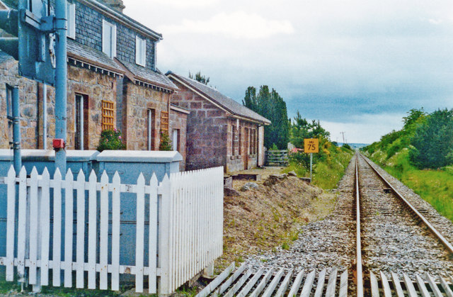
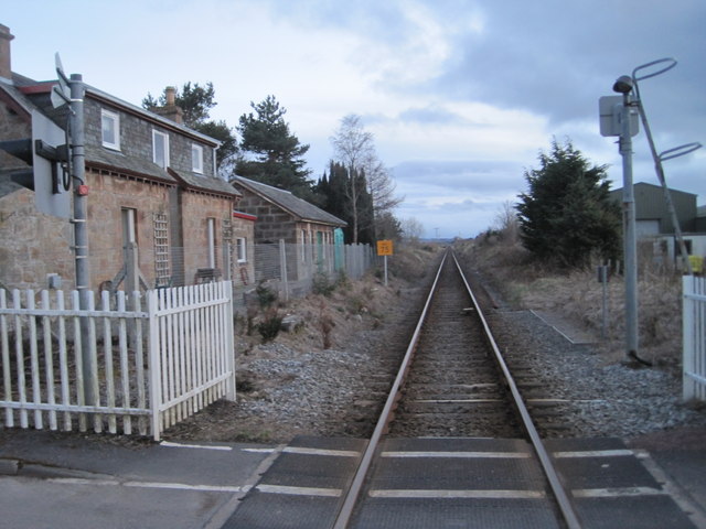
Delny railway station
Delny railway station served the hamlet of Delny, Ross-shire, Scotland from 1864 to 1964 on the Inverness and Ross-shire Railway. == History == The station...

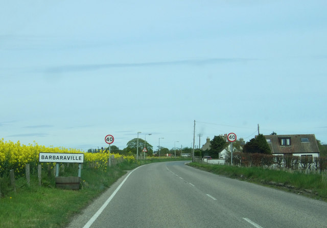
Barbaraville
Barbaraville (Scottish Gaelic: An Cladach) is a small settlement on the north shore of Nigg Bay in the Cromarty Firth in the Highland council area of Scotland...
Milton, Easter Ross
Milton (Scottish Gaelic: Baile Mhuilinn Anndra), known as Milntown of Tarbat until the early 1970s, is a small Easter Ross community between Kildary and...
Nearby Amenities
Located within 500m of 57.732894,-4.1017845Have you been to Oak Wood?
Leave your review of Oak Wood below (or comments, questions and feedback).