Gullet Wood
Wood, Forest in Kirkcudbrightshire
Scotland
Gullet Wood
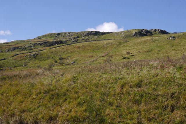
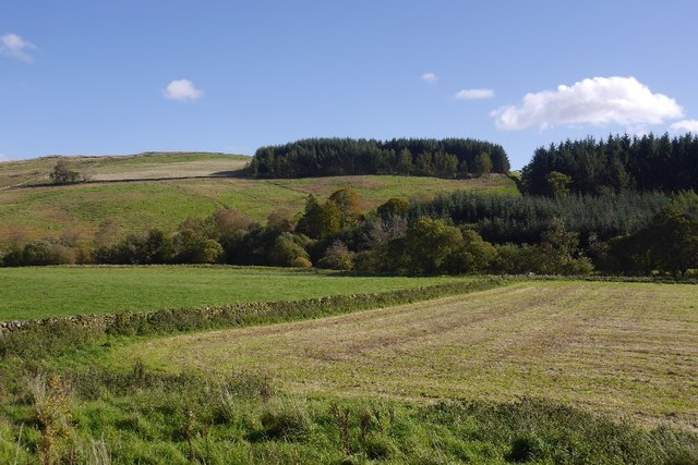
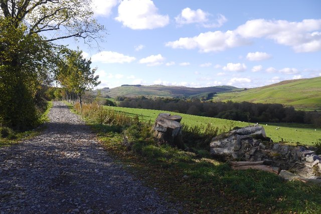
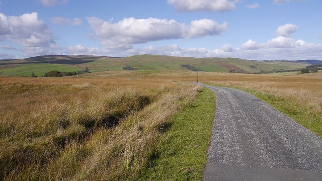
Gullet Wood is a picturesque forest located in the region of Kirkcudbrightshire, Scotland. Situated near the town of Kirkcudbright, this woodland area spans over a vast expanse of approximately 300 acres. The forest is known for its natural beauty and diverse ecosystem, making it a popular destination for nature enthusiasts and hikers alike.
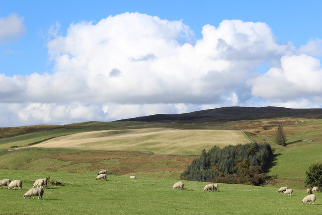
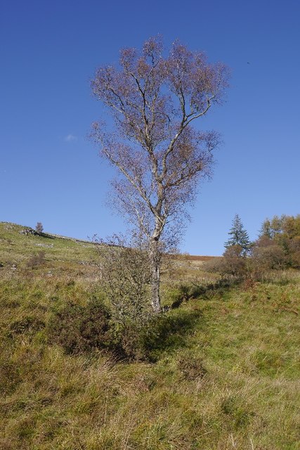
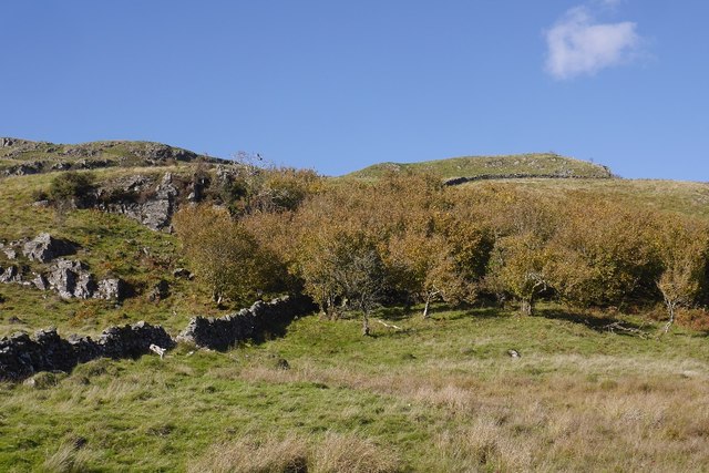
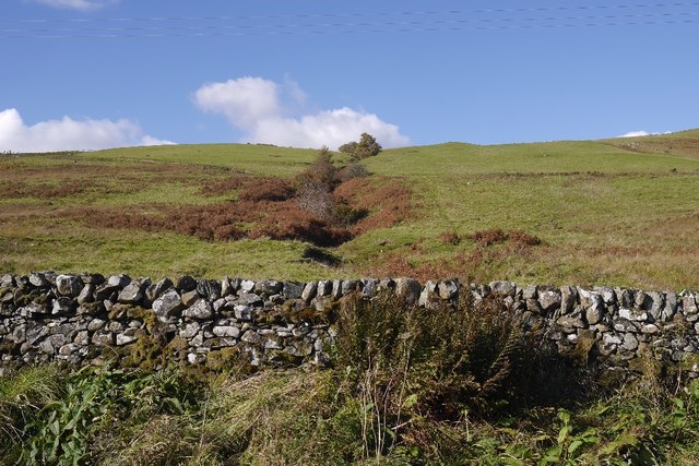
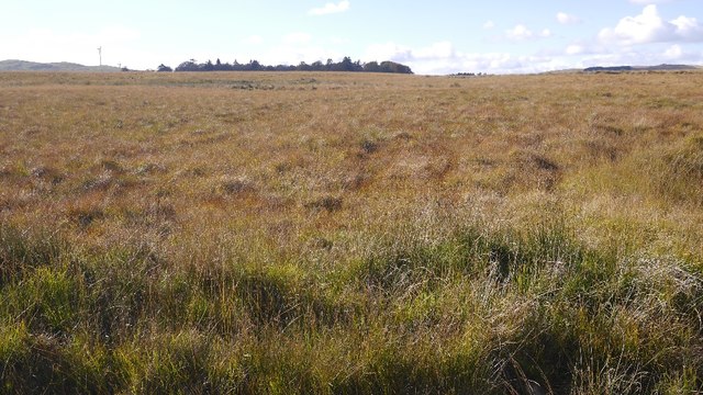
Gullet Wood is primarily composed of native broadleaf trees, including oak, ash, birch, and beech. These trees create a dense canopy that provides a habitat for numerous species of birds, mammals, and insects. The forest floor is adorned with a variety of wildflowers and ferns, adding to the area's scenic charm.
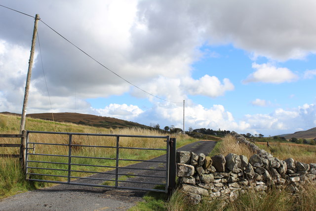
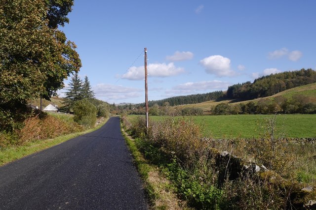
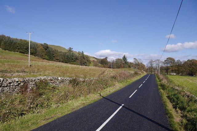
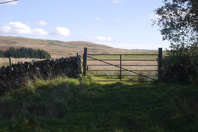
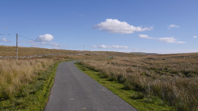
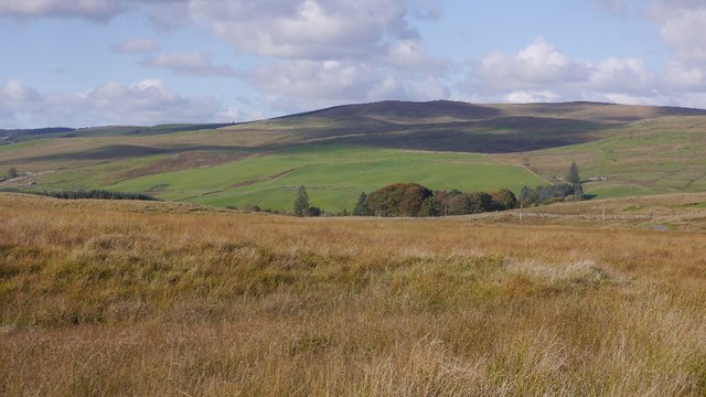
Several well-maintained trails wind through Gullet Wood, allowing visitors to explore the forest at their leisure. These paths cater to different skill levels, ensuring that there are options for both casual walkers and more experienced hikers. Along the way, walkers can enjoy breathtaking views of the surrounding countryside and may even spot some of the local wildlife.
The forest is also home to a small river that meanders through its heart, adding to the tranquility and natural appeal of the area. This river provides a refreshing backdrop and serves as a water source for the creatures that inhabit the woodland.
Gullet Wood offers a peaceful and serene escape from the bustling city life, making it a popular spot for locals and tourists seeking a connection with nature. With its stunning vistas, diverse flora and fauna, and well-maintained trails, Gullet Wood is truly a gem of Kirkcudbrightshire.
If you have any feedback on the listing, please let us know in the comments section below.
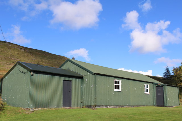
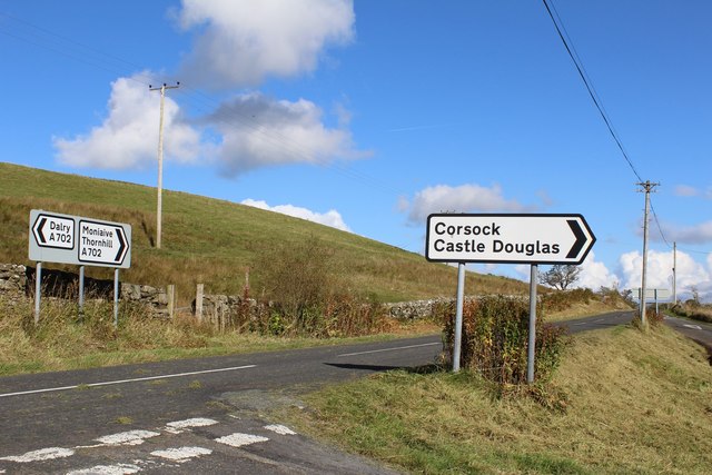
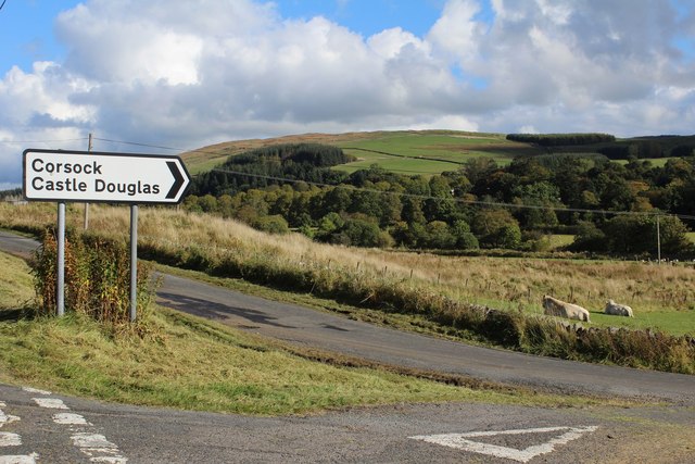
Gullet Wood Images
Images are sourced within 2km of 55.161068/-3.9652636 or Grid Reference NX7486. Thanks to Geograph Open Source API. All images are credited.
Gullet Wood is located at Grid Ref: NX7486 (Lat: 55.161068, Lng: -3.9652636)
Unitary Authority: Dumfries and Galloway
Police Authority: Dumfries and Galloway
What 3 Words
///kinds.committee.cute. Near Thornhill, Dumfries & Galloway
Nearby Locations
Related Wikis

Craigdarroch
"Craigdarroch, An Accessory to Murder" is an expansion set for the board game Kill Doctor Lucky Craigdarroch is a house near Moniaive, Dumfries and Galloway...

Moniaive railway station
Moniaive railway station is the closed station terminus of the Cairn Valley Light Railway (CVR) branch, from Dumfries. It served the rural area of Moniaive...

Moniaive
Moniaive ( 'monny-IVE'; Scottish Gaelic: Am Moine Naomh, "The Holy Moor") is a village in the Parish of Glencairn, in Dumfries and Galloway, southwest...

Loch Skae
Loch Skae is a small, upland freshwater loch to the north of Blackcraig Hill, approximately 18 miles (29 km) west of Dumfries, Scotland, 0.5 mi (0.80 km...

Craigenputtock
Craigenputtock (usually spelled by the Carlyles as Craigenputtoch) is an estate in Scotland where Thomas Carlyle lived from 1828 to 1834. He wrote several...

Crawfordton House
Crawfordton House is a category B listed 19th-century country house, situated close to Moniaive in Dumfriesshire, Scotland. It was operated as Crawfordton...

Cademuir International School
Cademuir International School was a specialist school at Moniaive in Dumfries and Galloway, Scotland. The school, founded by Robert Mulvey in 1990, was...

Loch Howie
Loch Howie is a small, narrow, upland freshwater loch on the north side of Blackcraig Hill, approximately 18 miles (29 km) west of Dumfries, Scotland....
Nearby Amenities
Located within 500m of 55.161068,-3.9652636Have you been to Gullet Wood?
Leave your review of Gullet Wood below (or comments, questions and feedback).