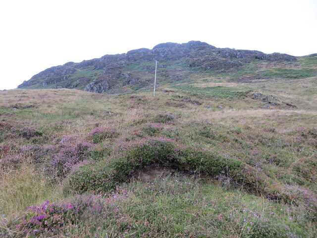
Young Plantation

Wood, Forest in Perthshire

Scotland

Young Plantation

East Lodge, Dunira Former lodge house for the Dunira Estate.

Scanned from an AGFA transparency.
East Lodge, Dunira Credit: Richard Sutcliffe

The requested URL returned error: 429 Too Many Requests

If you have any feedback on the listing, please let us know in the comments section below.

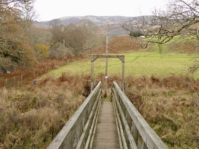
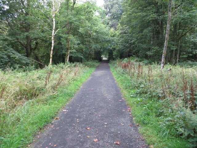
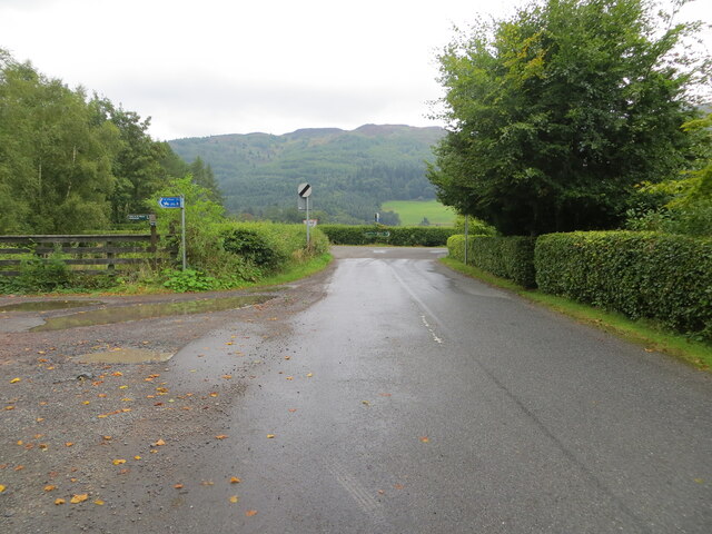
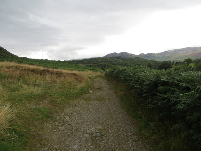
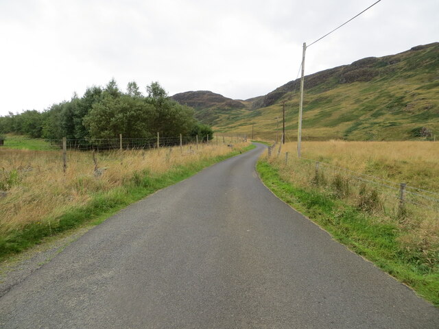
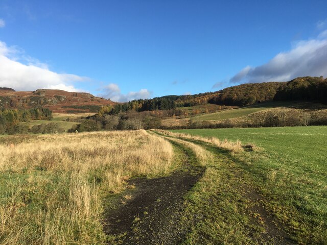
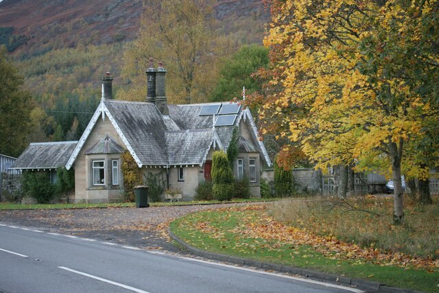
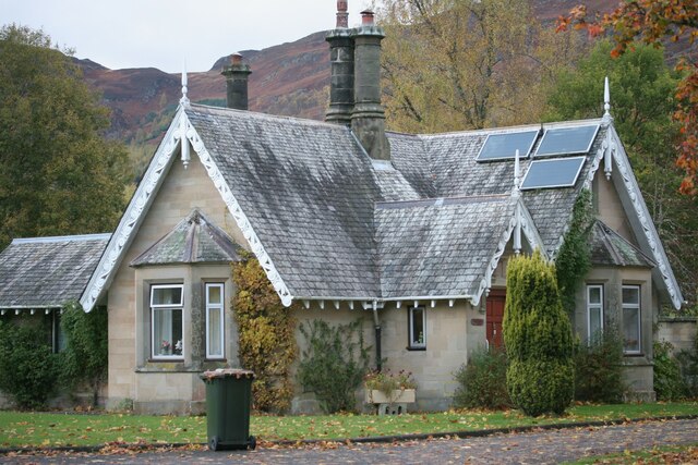
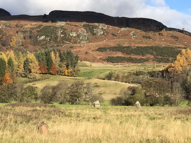
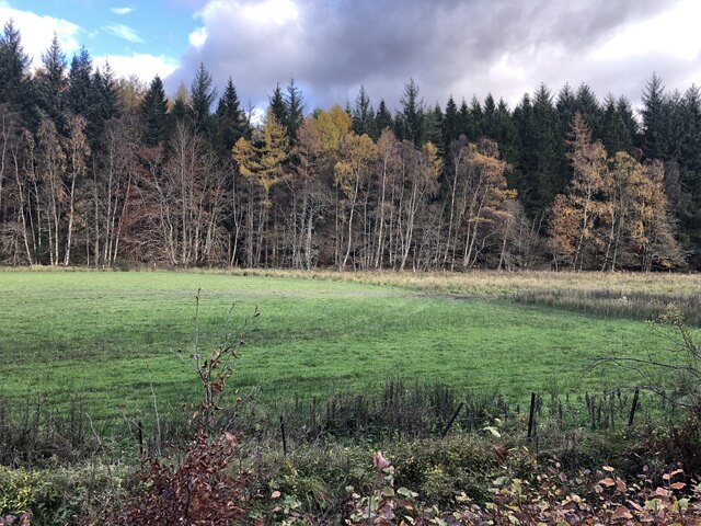
Young Plantation Images

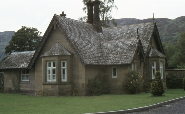
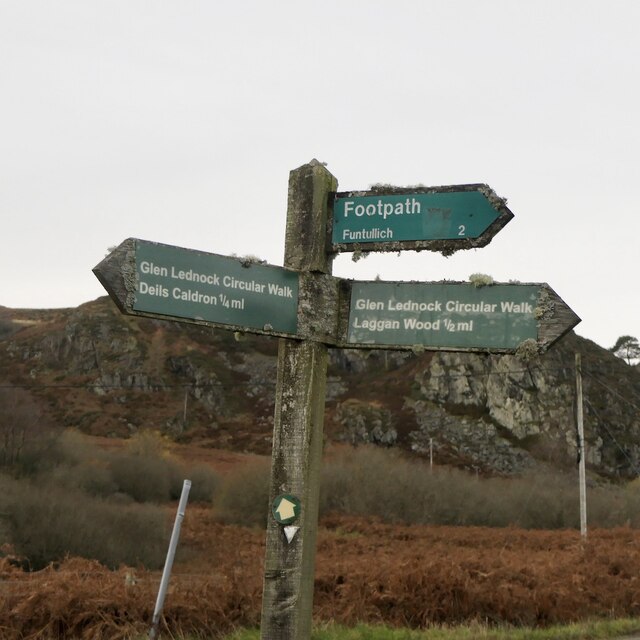
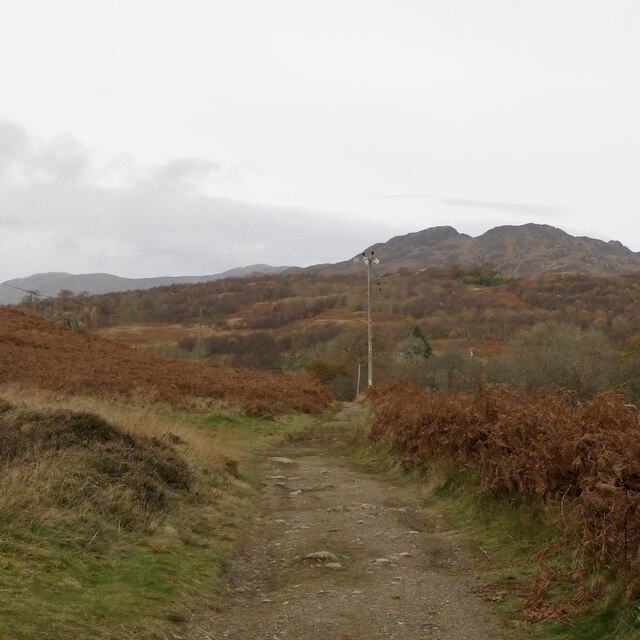
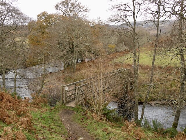
Images are sourced within 2km of 56.392097/-4.0344913 or Grid Reference NN7424. Thanks to Geograph Open Source API. All images are credited.

East Lodge, Dunira Former lodge house for the Dunira Estate.

Scanned from an AGFA transparency.
East Lodge, Dunira
Former lodge house for the Dunira Estate. Scanned from an AGFA transparency.
Signpost, Glen Lednock On the circular walk which goes up one side of the Lednock and down the other, mostly through scenic woodlands.
Signpost, Glen Lednock
On the circular walk which goes up one side of the Lednock and down the other, mostly through scenic woodlands.
Path, Glen Lednock Leading down to Shaky Bridge.
Path, Glen Lednock
Leading down to Shaky Bridge.
Shaky Bridge The sycamore that holds the river left end of the bridge was felled in 2019
Shaky Bridge
The sycamore that holds the river left end of the bridge was felled in 2019
Shaky Bridge Crossing the River Lednock.
Shaky Bridge
Crossing the River Lednock.
Disused Railway finding new life as a Recreational Trail near Dalchonzie Looking westward.
Disused Railway finding new life as a Recreational Trail near Dalchonzie
Looking westward.
River Earn near Dalchonzie Looking eastward from the road bridge.
River Earn near Dalchonzie
Looking eastward from the road bridge.
Minor road from Dalchonzie joining the A85 Looking northward.
Minor road from Dalchonzie joining the A85
Looking northward.
Track used by footpath to Funtullich which is 2 miles hence Looking north-westward.
Track used by footpath to Funtullich which is 2 miles hence
Looking north-westward.
The crags of Sgorr Racaineach Looking southward from the minor road.
The crags of Sgorr Racaineach
Looking southward from the minor road.
Minor road in Glen Lednock Looking southward.
Minor road in Glen Lednock
Looking southward.
Farm track near Tullybannocher
East Lodge, Dunira Situated beside the A85, this is one of the former lodge houses to the Dunira Estate. A drive leads up to the site of the main house (which burnt down in 1948), but is now overgrown in places.
East Lodge, Dunira
Situated beside the A85, this is one of the former lodge houses to the Dunira Estate. A drive leads up to the site of the main house (which burnt down in 1948), but is now overgrown in places.
East Lodge, Dunira One of the former lodge houses to the Dunira Estate. The solar panels on the roof provided hot water, but did not produce electricity.
East Lodge, Dunira
One of the former lodge houses to the Dunira Estate. The solar panels on the roof provided hot water, but did not produce electricity.
Ordnance Survey Cut Mark This mark can be found on Dalchonzie Bridge,
The recorded details give a height of 73.116 metres above sea level.
For more detail see : <span class="nowrap"><a title="https://www.bench-marks.org.uk/bm150465" rel="nofollow ugc noopener" href="https://www.bench-marks.org.uk/bm150465">Link</a><img style="margin-left:2px;" alt="External link" title="External link - shift click to open in new window" src="https://s1.geograph.org.uk/img/external.png" width="10" height="10"/></span>
Ordnance Survey Cut Mark
This mark can be found on Dalchonzie Bridge, The recorded details give a height of 73.116 metres above sea level. For more detail see : LinkExternal link
A85 towards Comrie
A85 towards Comrie
Standing stones, Tullybannocher Remains of a stone circle in Strath Earn.
Standing stones, Tullybannocher
Remains of a stone circle in Strath Earn.
Crappich Wood
Crappich Wood
Show me another place!

Young Plantation is located at Grid Ref: NN7424 (Lat: 56.392097, Lng: -4.0344913)

Unitary Authority: Perth and Kinross

Police Authority: Tayside

What 3 Words

///shadowing.nail.varieties. Near Comrie, Perth & Kinross

Related Wikis

Dunira, Perthshire

Dunira (Scottish Gaelic: Dùn Iar) is an estate of about 350 hectares (860 acres) in Perthshire, Scotland, 3 miles (5 kilometres) northwest of Comrie and...

Dalchonzie Halt railway station

Dalchonzie Halt railway station, Dalchonzie Platform railway station or Dalchonzie Siding in the Parish of Comrie, Perth and Kinross, Scotland was an intermediate...

Dalchonzie

Dalchonzie is a place by the river Earn in Perthshire. Buildings there include a country house, a hydro-electric power station and farms. From 1903 to...

Central Lowlands

The Central Lowlands, sometimes called the Midland Valley or Central Valley, is a geologically defined area of relatively low-lying land in southern Scotland...

Nearby Amenities

Located within 500m of 56.392097,-4.0344913
Power: pole
Lat/Long: 56.3900168/-4.041456
Power: pole
Lat/Long: 56.3906925/-4.0411262
Power: pole
Lat/Long: 56.3912425/-4.0408563
Power: pole
Lat/Long: 56.3917854/-4.0405779
Power: pole
Lat/Long: 56.3920273/-4.0425867
Power: pole
Lat/Long: 56.3918969/-4.0415802
Power: pole
Lat/Long: 56.3916515/-4.0395307
Power: pole
Lat/Long: 56.3915175/-4.0384513
Power: pole
Lat/Long: 56.3910374/-4.0372927
Power: pole
Lat/Long: 56.3906024/-4.0362112
Power: pole
Lat/Long: 56.3901496/-4.0350826
Power: pole
Lat/Long: 56.3893346/-4.0330652
Power: pole
Lat/Long: 56.3889208/-4.0320244
Power: pole
Lat/Long: 56.3885794/-4.0312053
Power: pole
Lat/Long: 56.389727/-4.0340366
The data included in this document is from www.openstreetmap.org. The data is made available under ODbL.

Have you been to Young Plantation?

Leave your review of Young Plantation below (or comments, questions and feedback).