Knockcairnal Plantation
Wood, Forest in Kirkcudbrightshire
Scotland
Knockcairnal Plantation
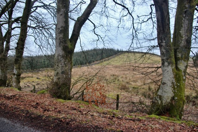
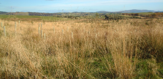
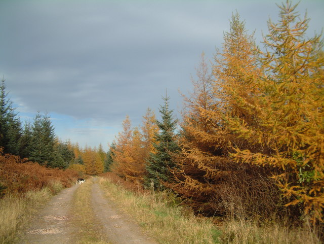
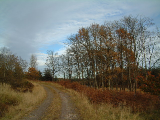
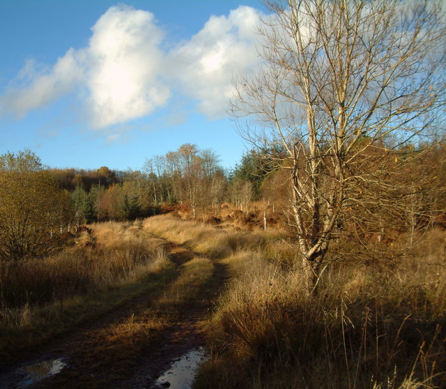
Knockcairnal Plantation is a picturesque woodland located in the region of Kirkcudbrightshire in southwestern Scotland. Stretching across a vast area of approximately 200 acres, this forested area is a haven for nature enthusiasts and outdoor adventurers.
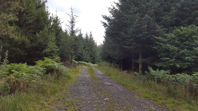
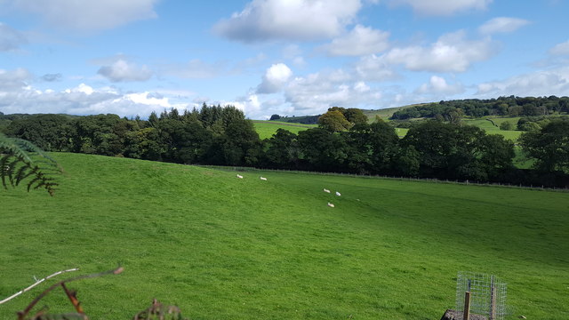
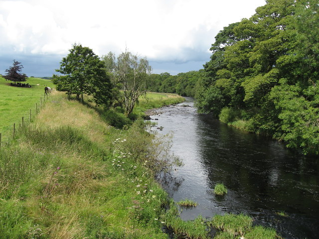
The plantation is characterized by its dense tree cover, primarily consisting of native species such as oak, birch, and pine. These trees create a lush and vibrant environment, providing a habitat for a diverse range of wildlife, including various bird species, mammals, and insects.
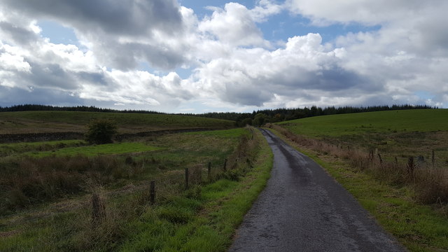
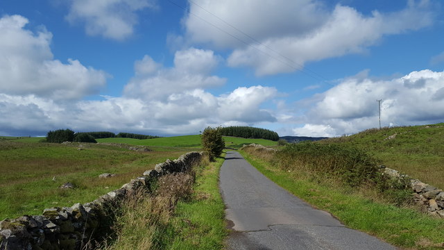
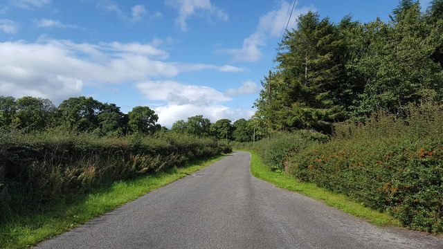
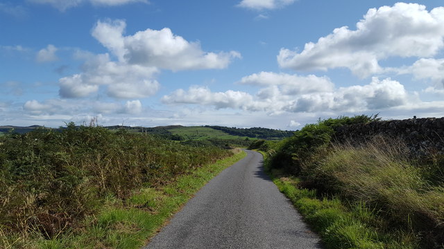
Visitors to Knockcairnal Plantation can explore the numerous trails that wind through the woodland, offering opportunities for walking, hiking, and birdwatching. The well-maintained paths allow visitors to immerse themselves in the natural beauty of the plantation while enjoying the peaceful ambiance.
In addition to its recreational appeal, the plantation also serves as a valuable resource for the local community. The timber harvested from the plantation is used for various purposes, including construction, furniture making, and firewood.
Knockcairnal Plantation is easily accessible, with ample parking facilities available nearby. It is a popular destination for families, nature lovers, and those seeking a tranquil retreat from the hustle and bustle of everyday life.
Overall, Knockcairnal Plantation stands as a testament to the natural splendor of Kirkcudbrightshire, providing visitors with an opportunity to connect with nature and enjoy the tranquility of a Scottish woodland.
If you have any feedback on the listing, please let us know in the comments section below.
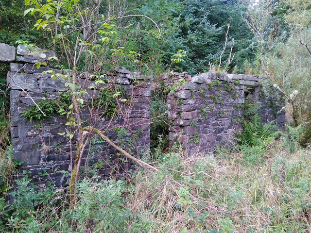
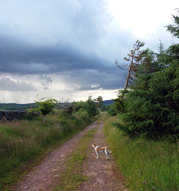
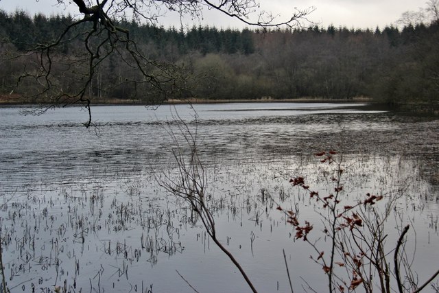
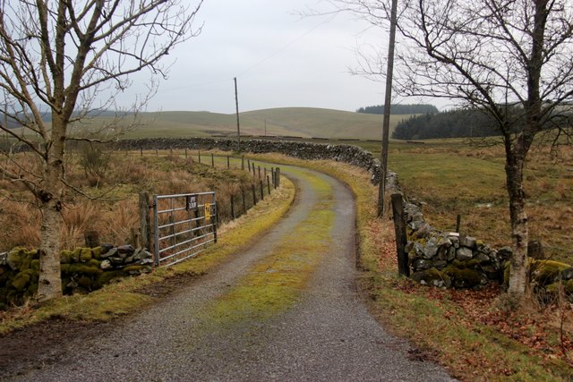
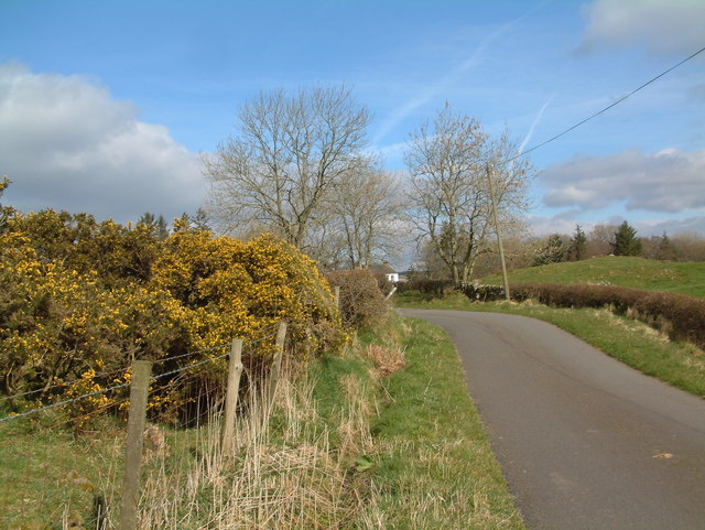
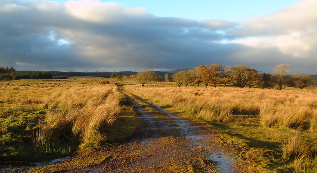
Knockcairnal Plantation Images
Images are sourced within 2km of 55.027727/-3.9650987 or Grid Reference NX7472. Thanks to Geograph Open Source API. All images are credited.
Knockcairnal Plantation is located at Grid Ref: NX7472 (Lat: 55.027727, Lng: -3.9650987)
Unitary Authority: Dumfries and Galloway
Police Authority: Dumfries and Galloway
What 3 Words
///vowel.they.stand. Near Castle Douglas, Dumfries & Galloway
Nearby Locations
Related Wikis

Glenlair House
Glenlair, near the village of Corsock in the historical county of Kirkcudbrightshire, in Dumfries and Galloway, was the home of the physicist James Clerk...

Kilquhanity School
Kilquhanity School was one of several free schools to have been established in the United Kingdom in the twentieth century. Others include Sands School...

Kirkcudbrightshire
Kirkcudbrightshire ( kur-KOO-brish-ər, -eer; Scots: [kərˈku(d)brəʃər]), or the County of Kirkcudbright or the Stewartry of Kirkcudbright is one of the...

Corsock
Corsock (Scottish Gaelic: Corsag) is a village in the historical county of Kirkcudbrightshire, Dumfries and Galloway, south-west Scotland. It is located...
Have you been to Knockcairnal Plantation?
Leave your review of Knockcairnal Plantation below (or comments, questions and feedback).