Scythe Wood
Wood, Forest in Kirkcudbrightshire
Scotland
Scythe Wood
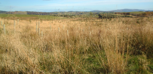
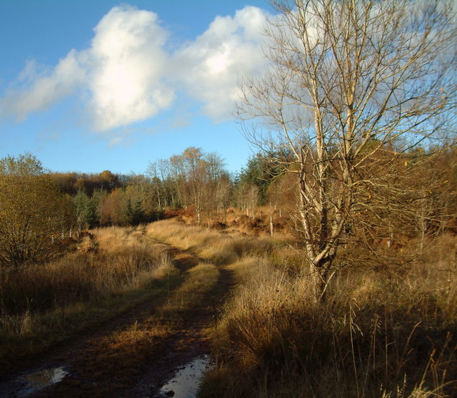
Scythe Wood is a picturesque forest located in Kirkcudbrightshire, a historic county in southwest Scotland. Covering an area of approximately 100 hectares, it is known for its diverse range of flora and fauna, making it a popular destination for nature enthusiasts and hikers.
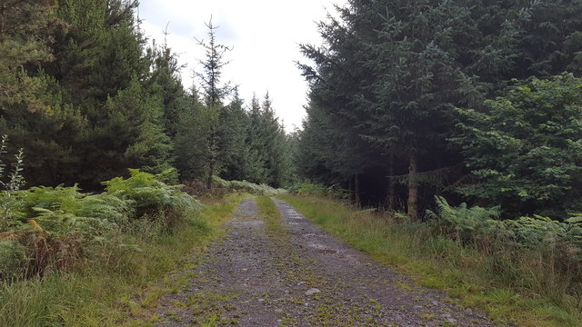
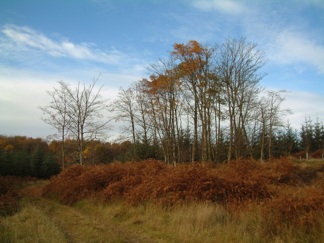
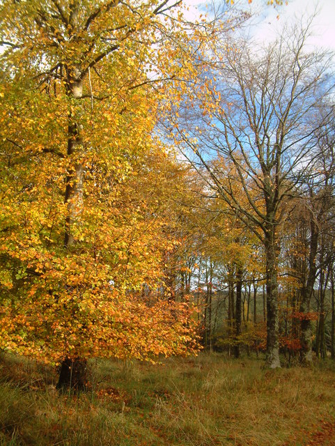
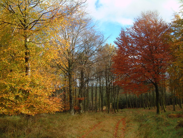
The wood is primarily composed of native broadleaf trees, including oak, birch, and beech, which create a dense and vibrant canopy. These trees provide an ideal habitat for a variety of wildlife, such as red squirrels, roe deer, and a wide array of bird species. The tranquil atmosphere within Scythe Wood also attracts a variety of woodland plants, including bluebells, wood anemones, and wild garlic, which carpet the forest floor during the spring.
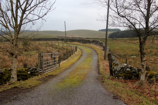
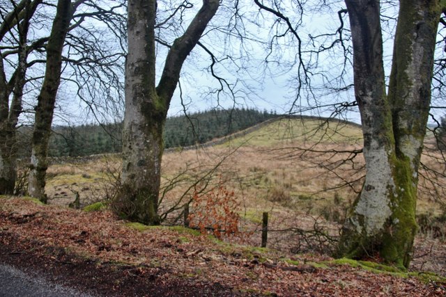
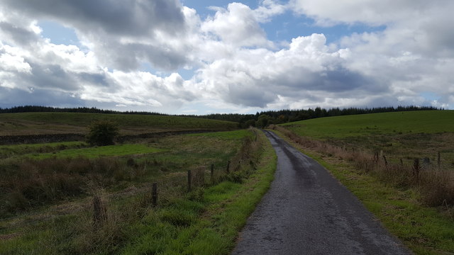
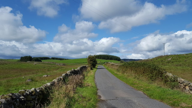
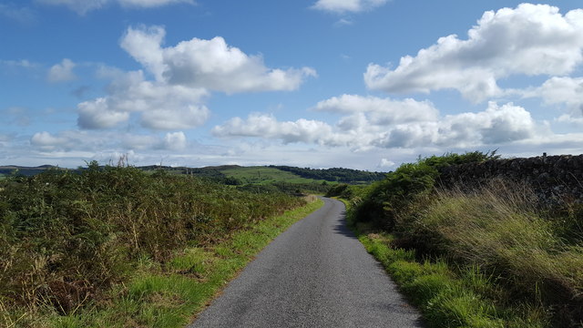
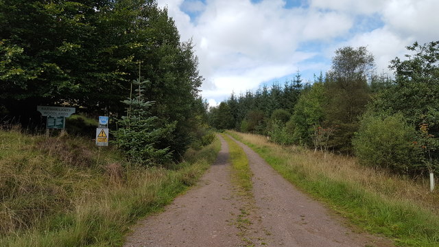
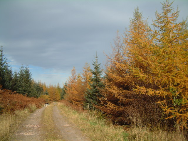
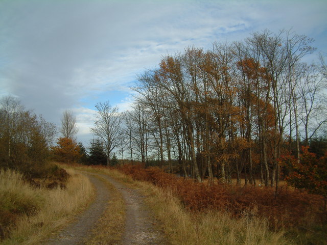
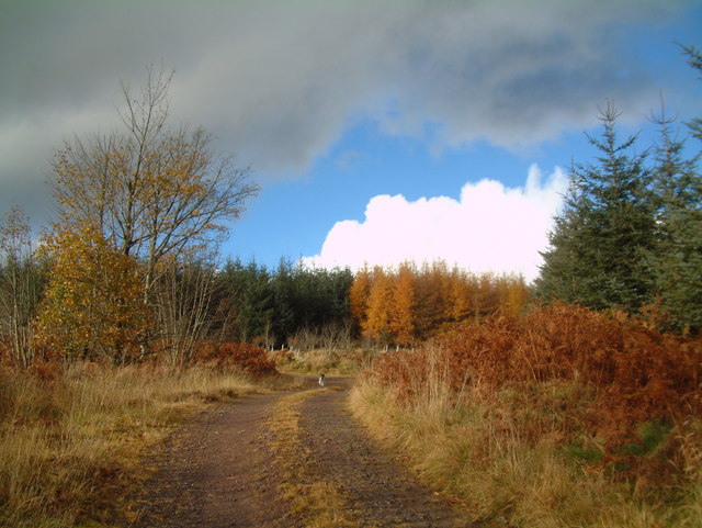
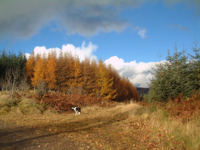
Several well-maintained paths and trails meander through the wood, offering visitors an opportunity to explore its natural beauty. These paths are suitable for both leisurely walks and more challenging hikes, with some routes providing panoramic views of the surrounding countryside.
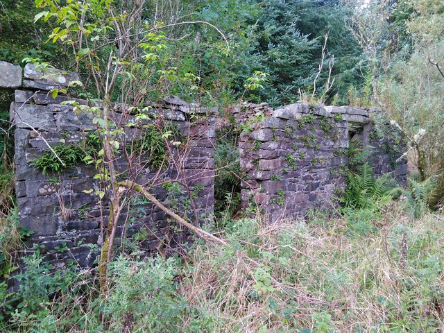
Scythe Wood holds historical significance as well. It is believed that the wood was once part of an ancient royal hunting ground, and remnants of old boundary walls and ditches can still be found within its boundaries. These historical features add an extra layer of interest for those with an appreciation for the area's past.
Overall, Scythe Wood is a captivating forest that offers a serene escape into nature, providing visitors with a chance to immerse themselves in the tranquility of Kirkcudbrightshire's woodlands.
If you have any feedback on the listing, please let us know in the comments section below.
Scythe Wood Images
Images are sourced within 2km of 55.032201/-3.9691045 or Grid Reference NX7472. Thanks to Geograph Open Source API. All images are credited.

Scythe Wood is located at Grid Ref: NX7472 (Lat: 55.032201, Lng: -3.9691045)
Unitary Authority: Dumfries and Galloway
Police Authority: Dumfries and Galloway
What 3 Words
///fool.obligated.incurring. Near Castle Douglas, Dumfries & Galloway
Nearby Locations
Related Wikis

Glenlair House
Glenlair, near the village of Corsock in the historical county of Kirkcudbrightshire, in Dumfries and Galloway, was the home of the physicist James Clerk...

Kilquhanity School
Kilquhanity School was one of several free schools to have been established in the United Kingdom in the twentieth century. Others include Sands School...

Kirkcudbrightshire
Kirkcudbrightshire ( kur-KOO-brish-ər, -eer; Scots: [kərˈku(d)brəʃər]), or the County of Kirkcudbright or the Stewartry of Kirkcudbright is one of the...

Corsock
Corsock (Scottish Gaelic: Corsag) is a village in the historical county of Kirkcudbrightshire, Dumfries and Galloway, south-west Scotland. It is located...
Nearby Amenities
Located within 500m of 55.032201,-3.9691045Have you been to Scythe Wood?
Leave your review of Scythe Wood below (or comments, questions and feedback).