Castle Wood

Wood, Forest in Perthshire

Scotland

Castle Wood

Looking towards Blue Bottle Wood
Looking towards Blue Bottle Wood Credit: Anthony O'Neil

Castle Wood is a picturesque woodland located in the region of Perthshire, Scotland. Situated in the charming village of Castle Douglas, the wood is a haven for nature enthusiasts and those seeking tranquility amidst beautiful surroundings.

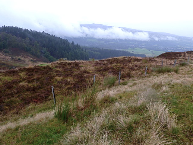
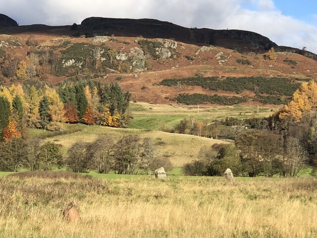
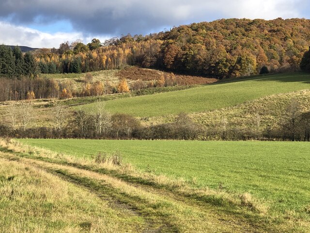
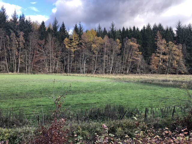
Covering an area of approximately 50 acres, Castle Wood is known for its diverse range of tree species, including oak, beech, birch, and pine. This lush forest offers a stunning display of colors throughout the year, with vibrant greens in the summer and rich hues of gold and crimson in the autumn. The dense canopy provides shelter to a variety of wildlife, including red squirrels, roe deer, and a myriad of bird species.

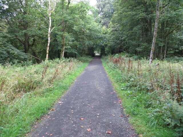
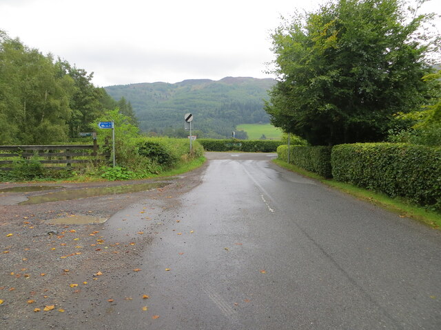
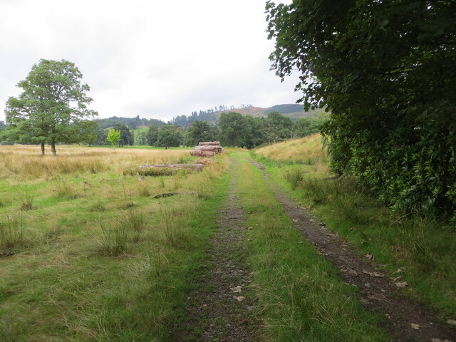
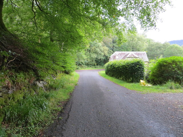
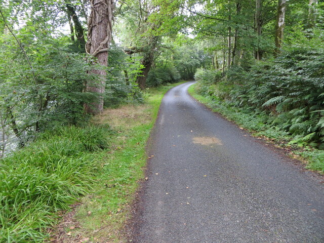
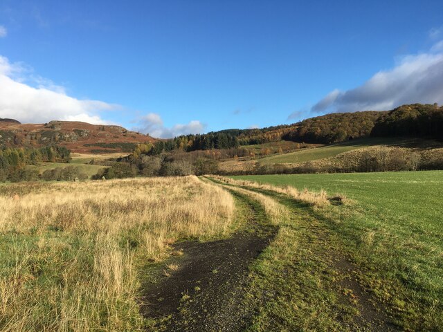
Visitors can explore the wood via a network of well-maintained trails, which wind through the ancient trees and lead to hidden glens and bubbling streams. The paths are suitable for all levels of walkers, offering a gentle stroll or a more challenging hike for the adventurous. Along the way, there are several scenic viewpoints that offer panoramic vistas of the surrounding countryside, including the nearby Castle Douglas and the impressive Galloway Hills.

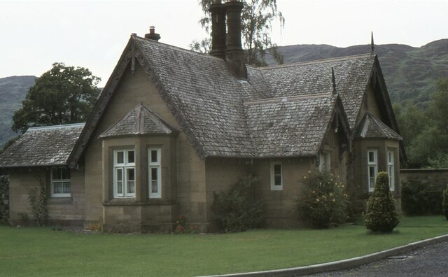
Castle Wood is not only a natural gem but also holds historical significance. Nestled within its boundaries is the ruins of an ancient castle, which dates back to the 16th century. The castle adds a touch of mystery and intrigue to the wood, transporting visitors back in time.

With its enchanting beauty, diverse wildlife, and fascinating history, Castle Wood is a must-visit destination for nature lovers and history enthusiasts alike. Whether it's a leisurely walk or an exploration of the castle ruins, this woodland provides a serene escape from the hustle and bustle of everyday life.

If you have any feedback on the listing, please let us know in the comments section below.

Castle Wood Images

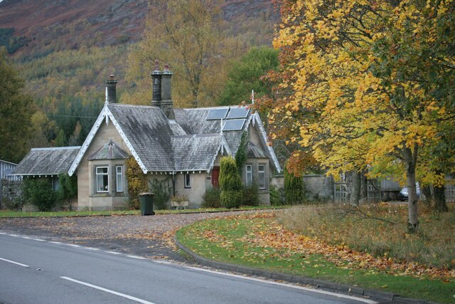
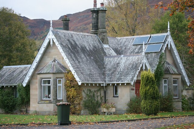
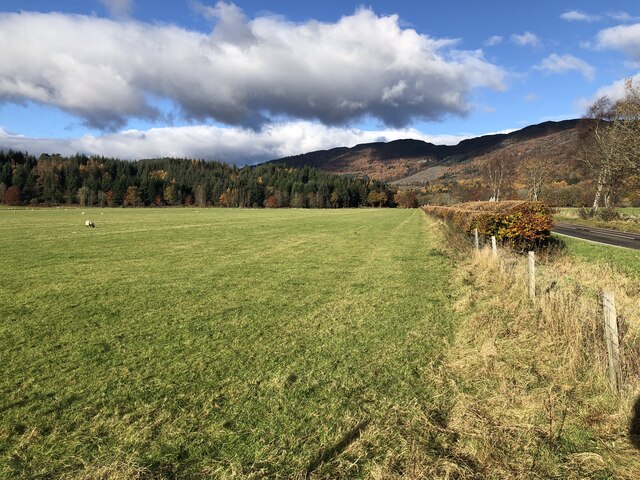
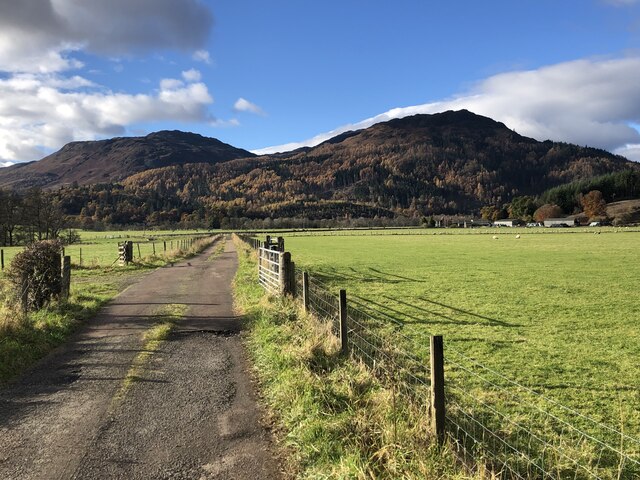
Images are sourced within 2km of 56.36986/-4.0375805 or Grid Reference NN7421. Thanks to Geograph Open Source API. All images are credited.

Looking towards Blue Bottle Wood
East Lodge, Dunira Former lodge house for the Dunira Estate.

Scanned from an AGFA transparency.
East Lodge, Dunira
Former lodge house for the Dunira Estate. Scanned from an AGFA transparency.
Disused Railway finding new life as a Recreational Trail near Dalchonzie Looking westward.
Disused Railway finding new life as a Recreational Trail near Dalchonzie
Looking westward.
River Earn near Dalchonzie Looking eastward from the road bridge.
River Earn near Dalchonzie
Looking eastward from the road bridge.
Minor road from Dalchonzie joining the A85 Looking northward.
Minor road from Dalchonzie joining the A85
Looking northward.
Field track passing stored lumber near Aberuchill Castle Looking southward.
Field track passing stored lumber near Aberuchill Castle
Looking southward.
Minor road at Bobbin Mill Looking south-westward.
Minor road at Bobbin Mill
Looking south-westward.
Minor road beside the River Earn Looking north-eastward in the direction of Comrie.
Minor road beside the River Earn
Looking north-eastward in the direction of Comrie.
Farm track near Tullybannocher
East Lodge, Dunira Situated beside the A85, this is one of the former lodge houses to the Dunira Estate. A drive leads up to the site of the main house (which burnt down in 1948), but is now overgrown in places.
East Lodge, Dunira
Situated beside the A85, this is one of the former lodge houses to the Dunira Estate. A drive leads up to the site of the main house (which burnt down in 1948), but is now overgrown in places.
East Lodge, Dunira One of the former lodge houses to the Dunira Estate. The solar panels on the roof provided hot water, but did not produce electricity.
East Lodge, Dunira
One of the former lodge houses to the Dunira Estate. The solar panels on the roof provided hot water, but did not produce electricity.
Ordnance Survey Cut Mark This mark can be found on Dalchonzie Bridge,
The recorded details give a height of 73.116 metres above sea level.
For more detail see : <span class="nowrap"><a title="https://www.bench-marks.org.uk/bm150465" rel="nofollow ugc noopener" href="https://www.bench-marks.org.uk/bm150465">Link</a><img style="margin-left:2px;" alt="External link" title="External link - shift click to open in new window" src="https://s1.geograph.org.uk/img/external.png" width="10" height="10"/></span>
Ordnance Survey Cut Mark
This mark can be found on Dalchonzie Bridge, The recorded details give a height of 73.116 metres above sea level. For more detail see : LinkExternal link
A85 towards Comrie
A85 towards Comrie
Field, Tullybannocher The very flat floor of Strath Earn with woodland on Drumlochlan Hill in the background.
Field, Tullybannocher
The very flat floor of Strath Earn with woodland on Drumlochlan Hill in the background.
Road to Wester Tullybannocher
Standing stones, Tullybannocher Remains of a stone circle in Strath Earn.
Standing stones, Tullybannocher
Remains of a stone circle in Strath Earn.
Twenty Shilling Wood The western end of the oak wood above Comrie.
Twenty Shilling Wood
The western end of the oak wood above Comrie.
Crappich Wood
Crappich Wood
Show me another place!

Castle Wood is located at Grid Ref: NN7421 (Lat: 56.36986, Lng: -4.0375805)

Unitary Authority: Perth and Kinross

Police Authority: Tayside

What 3 Words

///chatters.shipwreck.sushi. Near Comrie, Perth & Kinross

Related Wikis

Aberuchill Castle

Aberuchill Castle is located 3 kilometres (1.9 mi) west of Comrie in Perthshire, Scotland. It comprises an early 17th-century tower house, which was extended...

Dalchonzie

Dalchonzie is a place by the river Earn in Perthshire. Buildings there include a country house, a hydro-electric power station and farms. From 1903 to...

Dalchonzie Halt railway station

Dalchonzie Halt railway station, Dalchonzie Platform railway station or Dalchonzie Siding in the Parish of Comrie, Perth and Kinross, Scotland was an intermediate...

Dunira, Perthshire

Dunira (Scottish Gaelic: Dùn Iar) is an estate of about 350 hectares (860 acres) in Perthshire, Scotland, 3 miles (5 kilometres) northwest of Comrie and...

Nearby Amenities

Located within 500m of 56.36986,-4.0375805
Power: pole
Source: Bing
Lat/Long: 56.3720663/-4.0308952
Power: pole
Source: Bing
Lat/Long: 56.3727476/-4.0320844
Power: pole
Source: Bing
Lat/Long: 56.3730231/-4.0333446
Power: pole
Source: Bing
Lat/Long: 56.372669/-4.0401971
Power: pole
Source: Bing
Lat/Long: 56.3730308/-4.0395912
Power: pole
Source: Bing
Lat/Long: 56.3732987/-4.0387608
Power: pole
Source: Bing
Lat/Long: 56.3734893/-4.0378357
Power: pole
Source: Bing
Lat/Long: 56.37399/-4.0373904
Generator Method: water-storage
Generator Source: hydro
Power: generator
Lat/Long: 56.3732542/-4.0408675
Power: pole
Lat/Long: 56.3658313/-4.0345097
Power: pole
Lat/Long: 56.3663603/-4.033591
Power: pole
Lat/Long: 56.3668502/-4.0327793
Power: pole
Lat/Long: 56.3674611/-4.0317749
Power: pole
Lat/Long: 56.3679996/-4.030869
Power: pole
Lat/Long: 56.368531/-4.030475
Power: pole
Lat/Long: 56.3690647/-4.0301023
Power: pole
Lat/Long: 56.3696151/-4.0297104
The data included in this document is from www.openstreetmap.org. The data is made available under ODbL.

Have you been to Castle Wood?

Leave your review of Castle Wood below (or comments, questions and feedback).