Crofts Plantation

Wood, Forest in Kirkcudbrightshire

Scotland

Crofts Plantation

Glenlochar Barrage At the bottom of Loch Ken, the barrage controls the volume of water feeding into Tongland Loch further downstream, the daily storage for Tongland Power Station, the last in the chain of the Galloway Hydros.  The barrage is operated remotely from the control centre at Glenlee Power Station.
Glenlochar Barrage Credit: Paul Hookway

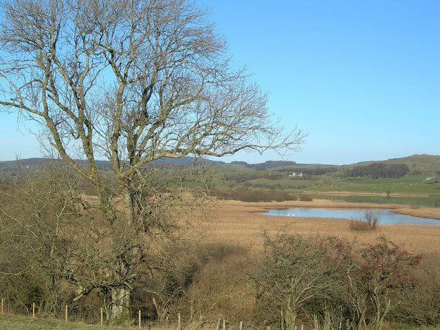
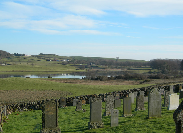
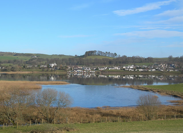
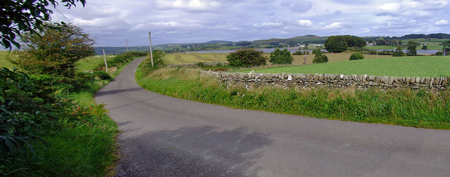
Crofts Plantation is a woodland area located in Kirkcudbrightshire, Scotland. Covering an extensive area, the plantation is known for its diverse range of trees and natural beauty. It is situated near the town of Kirkcudbright, surrounded by picturesque landscapes and scenic views.

The plantation features a mixture of deciduous and evergreen trees, including oak, birch, beech, and pine, creating a rich and varied woodland habitat. The dense canopy provides shade and shelter for a wide range of wildlife, making it a popular spot for nature enthusiasts and birdwatchers. The plantation also boasts several well-maintained walking trails that allow visitors to explore the area and appreciate its natural wonders.

Crofts Plantation is managed by the local forestry commission, ensuring the preservation and sustainable use of the woodland. The plantation plays a vital role in carbon sequestration, helping to combat climate change by absorbing carbon dioxide from the atmosphere. It also contributes to the local economy through timber production and recreational activities.

Visitors to Crofts Plantation can enjoy a peaceful and tranquil environment, away from the hustle and bustle of urban life. The plantation offers opportunities for walking, picnicking, and wildlife spotting, allowing visitors to connect with nature and appreciate the beauty of the Scottish countryside.

Overall, Crofts Plantation is a valuable natural asset in Kirkcudbrightshire, offering both ecological and recreational benefits to locals and tourists alike.

If you have any feedback on the listing, please let us know in the comments section below.

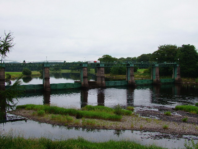
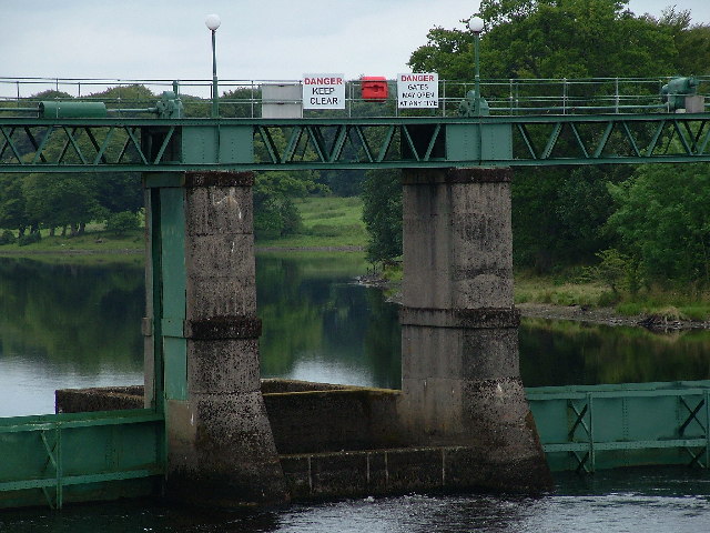
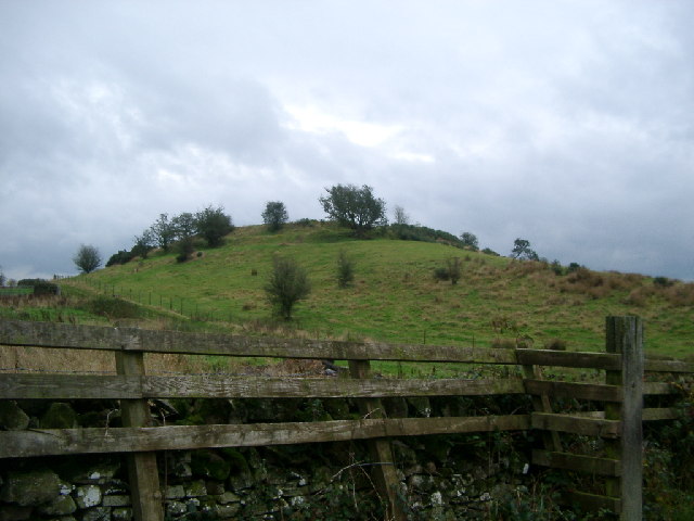
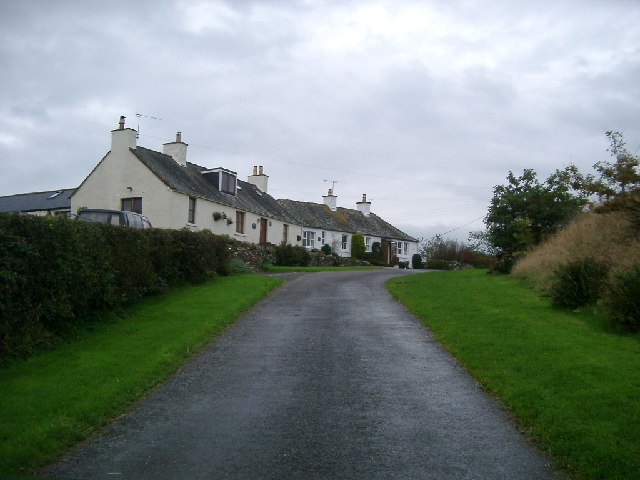
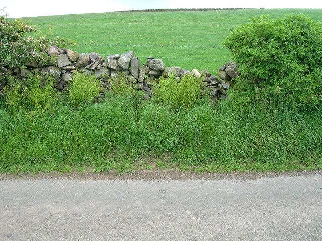
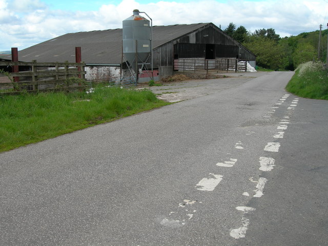
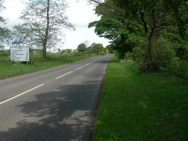
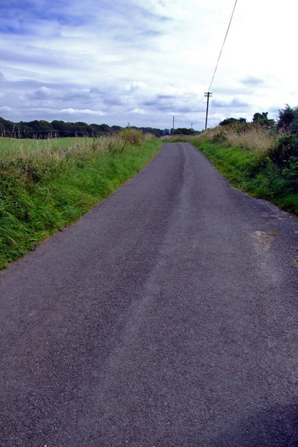
Crofts Plantation Images

Images are sourced within 2km of 54.975325/-3.9663505 or Grid Reference NX7466. Thanks to Geograph Open Source API. All images are credited.

Glenlochar Barrage At the bottom of Loch Ken, the barrage controls the volume of water feeding into Tongland Loch further downstream, the daily storage for Tongland Power Station, the last in the chain of the Galloway Hydros.  The barrage is operated remotely from the control centre at Glenlee Power Station.
Glenlochar Barrage
At the bottom of Loch Ken, the barrage controls the volume of water feeding into Tongland Loch further downstream, the daily storage for Tongland Power Station, the last in the chain of the Galloway Hydros. The barrage is operated remotely from the control centre at Glenlee Power Station.
Glenlochar Barrage
Glenlochar Barrage
Hill Fort near Crossmichael called Crofts Mote on the OS 1:25000, near Croft farm
Hill Fort near Crossmichael
called Crofts Mote on the OS 1:25000, near Croft farm
Houses, Ringanwhey taken on the by road between Crossmichael and old Bridge of Urr
Houses, Ringanwhey
taken on the by road between Crossmichael and old Bridge of Urr
The Ken-Dee Marshes from Balmaghie Churchyard
View From Balmaghie Churchyard Looking south-east across the River Dee on a crisp January morning.
View From Balmaghie Churchyard
Looking south-east across the River Dee on a crisp January morning.
Crossmichael Viewed from the other side of the River Dee.
Crossmichael
Viewed from the other side of the River Dee.
Triangulation pillar and water storage facility
Cottages and start of track to Mountaintop
Roadside and farmland north of Crofts
Farm buildings and junction at Crofts
A713 North West of Townhead of Greenlaw
Country Road Approx 0.4 miles north of Campdouglass Farm entrance
Country Road
Approx 0.4 miles north of Campdouglass Farm entrance
Country Road Looking North towards Loch Ken in the far distance, location 0.83 miles 
north of Glenlochar Village heading towards Shankfoot.
Country Road
Looking North towards Loch Ken in the far distance, location 0.83 miles north of Glenlochar Village heading towards Shankfoot.
Campdouglas Farm Farm access Road, from minor road.
Campdouglas Farm
Farm access Road, from minor road.
The Tail End of Loch Ken
Field next to Loch Ken, Crossmichael Farmland - Loch Ken in the background.
Field next to Loch Ken, Crossmichael
Farmland - Loch Ken in the background.
Small White Church at Bridgestone. Overlooking Loch Ken
Small White Church at Bridgestone.
Overlooking Loch Ken
Show me another place!

Crofts Plantation is located at Grid Ref: NX7466 (Lat: 54.975325, Lng: -3.9663505)

Unitary Authority: Dumfries and Galloway

Police Authority: Dumfries and Galloway

What 3 Words

///agreeable.slogged.former. Near Castle Douglas, Dumfries & Galloway

Related Wikis

Crossmichael

Crossmichael (Scottish Gaelic: Crois Mhìcheil) is a small village on the east side of Loch Ken in the historical county of Kirkcudbrightshire, about 4...

Crossmichael Parish Church

Crossmichael Parish Church is an ecclesiastical building in Crossmichael, Dumfries and Galloway, Scotland. It lies on a knoll, which was probably an ancient...

Crossmichael railway station

Crossmichael railway station served the village of Crossmichael, Kirkcudbrightshire, Scotland, from 1861 to 1965 on the Portpatrick and Wigtownshire Joint...

Abbey Yard

Abbey Yard is a location in Dumfries and Galloway, Scotland. Abbey Yard is near Glenlochar in the historical county of Kirkcudbrightshire in the Dumfries...

Balmaghie

Balmaghie ( bal-mə-GEE), from the Scottish Gaelic Baile Mhic Aoidh, is an ecclesiastical and civil parish in the historical county of Kirkcudbrightshire...

Glenlochar

Glenlochar (Gd: Gleann Lochair) is a hamlet on the western bank of the River Dee in the parish of Balmaghie in the historical county of Kirkcudbrightshire...

Kirkcudbrightshire

Kirkcudbrightshire ( kur-KOO-brish-ər, -⁠eer; Scots: [kərˈku(d)brəʃər]), or the County of Kirkcudbright or the Stewartry of Kirkcudbright is one of the...

A75 road

The A75 is a primary trunk road in Scotland, linking Stranraer and its ferry ports at Cairnryan with the A74(M) at Gretna, close to the border with England...

Nearby Amenities

Located within 500m of 54.975325,-3.9663505
Power: pole
Lat/Long: 54.9763921/-3.9728581
Crofts Moat
Historic: archaeological_site
Wikidata: Q31059337
Lat/Long: 54.9720177/-3.9653768
Power: pole
Lat/Long: 54.9746155/-3.967331
Power: pole
Lat/Long: 54.9740082/-3.9676815
Power: pole
Lat/Long: 54.9736729/-3.9678387
Power: pole
Lat/Long: 54.9738156/-3.9695298
Power: pole
Lat/Long: 54.9738912/-3.9688138
Power: pole
Lat/Long: 54.9739546/-3.9682211
Power: pole
Lat/Long: 54.9739668/-3.967144
Power: pole
Lat/Long: 54.9750227/-3.9737914
Power: pole
Lat/Long: 54.9755409/-3.9734409
Power: pole
Lat/Long: 54.9769686/-3.9723426
Power: pole
Lat/Long: 54.9778965/-3.9715629
Power: pole
Lat/Long: 54.9784988/-3.970524
Power: pole
Lat/Long: 54.9790815/-3.969517
Power: pole
Lat/Long: 54.974952/-3.9734388
Power: pole
Lat/Long: 54.9747471/-3.9724594
The data included in this document is from www.openstreetmap.org. The data is made available under ODbL.

Have you been to Crofts Plantation?

Leave your review of Crofts Plantation below (or comments, questions and feedback).